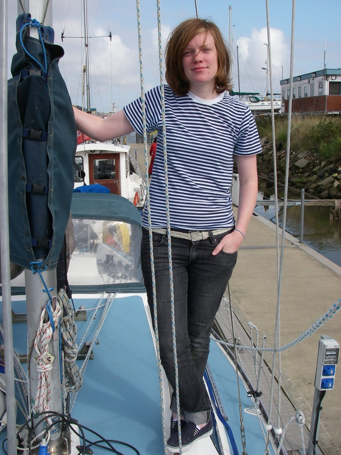
We didn’t get back to Scotland to complete our slow cruise round Britain for nearly 10 months, until early July 2008, because of heavy work commitments, plus a few retirement parties just before we left.
The line from Glasgow must be one of the most beautiful railway journies in Europe, which made arriving in Oban by train a great pleasure. That was in spite of a mountain of luggage that needed a trolley to move, because we had taken the car to lay up the boat the autumn before, and made the mistake of taking too much stuff home.
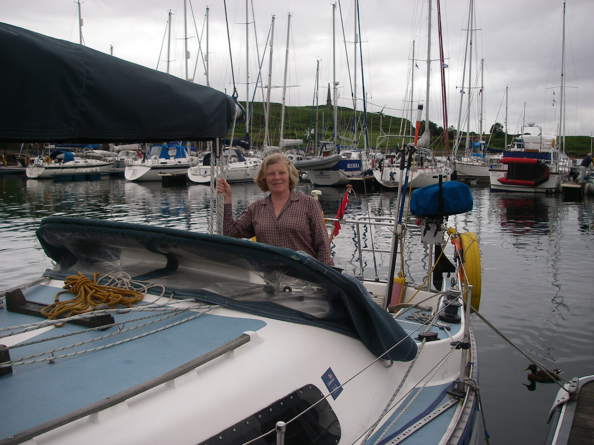
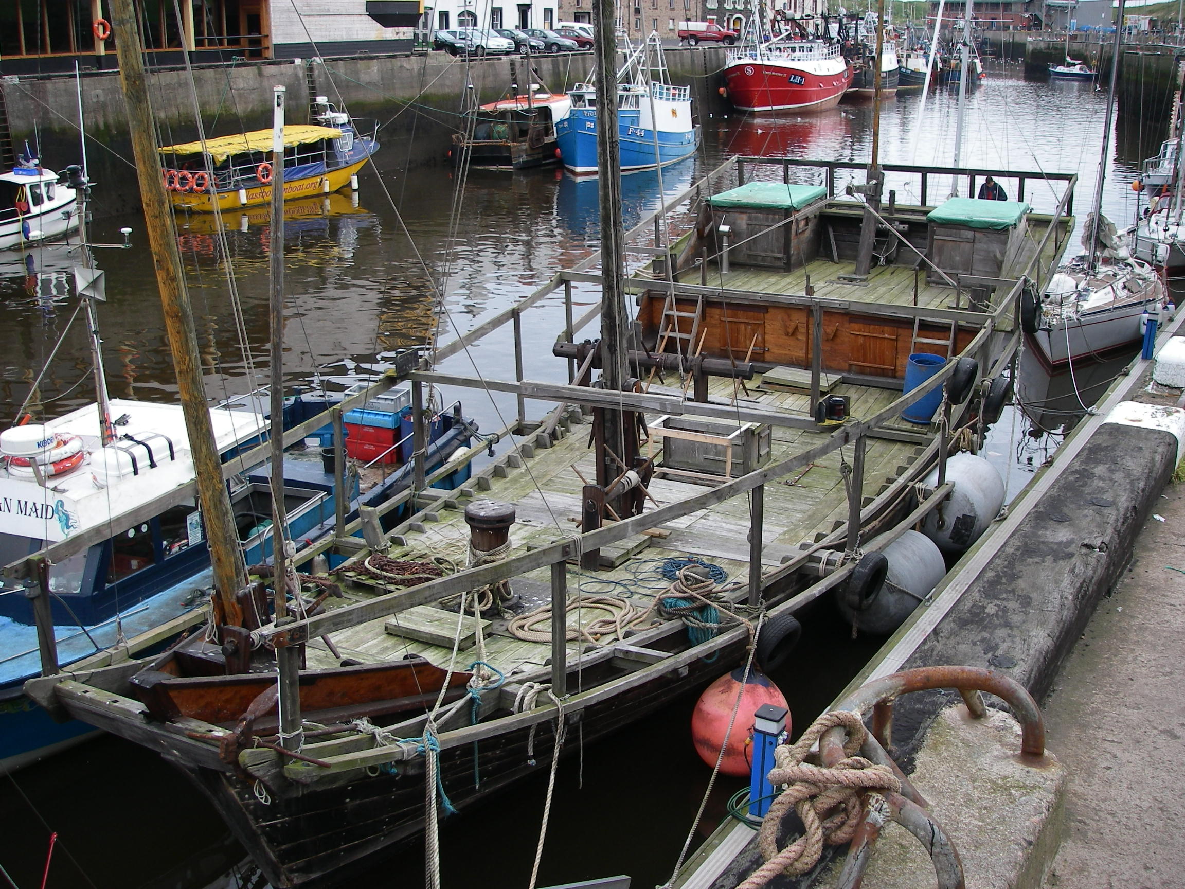
In some of the writings about the highlands, Oban is just the grim town at the end of the ferry lines, the gateway to Glasgow and the unspeakable southlands. We’ve always found it a delightful place in its own right, whose highlights include the best seafood stall I’ve found anywhere, in any country, right on the dockside by the ferry terminal. Scallops plain or with garlic, mussels in white wine, crab cooked in vats at the back of the stalls and delivered in shells or sandwiches, and superb local oysters, which can be eaten standing at a long wooden counter. It is the first and only place I’ve had mussels for breakfast, copying the party of Japanese tourists ahead of me.
From Oban, we set off up the Sound of Mull for Arisaig, where we were due to meet Tony and Judy. For the first night, we called in at Loch Drumbuie, near the entrance to Loch Sunart. Drumbuie is exceptionally sheltered because its entrance is so narrow; though the holding ground is not brilliant for the anchor, it is a peaceful place for a night’s rest, once secure.

Next morning was dank and misty, with visibility down to under a mile as we headed north-west towards Ardnamurchan Point, glad of the chartplotter to save on pilotage work. The sky cleared briefly for half an hour of bright sun and then the cold and clammy murk descended again as we rounded the point and headed across to the entrance to the harbour of Arisaig.

This is an extraordinary place, because you have to pick up a narrow entrance on a low, rocky shore and follow a winding but thankfully well-marked channel through a maze of rocks and over a bar until it opens right out into Loch Nan Ceall, where moorings, a jetty and a village with shop, pub, hotel, restaurant and cafe can be found. There is also a railway station on the Oban to Mallaig line.
We arrived in poor visibility, had trouble picking up the marks and of course did not trust the chartplotter until the track had been checked with a conventional entry using the chart and pilot book, so there was no time spare for photographs as we went in.
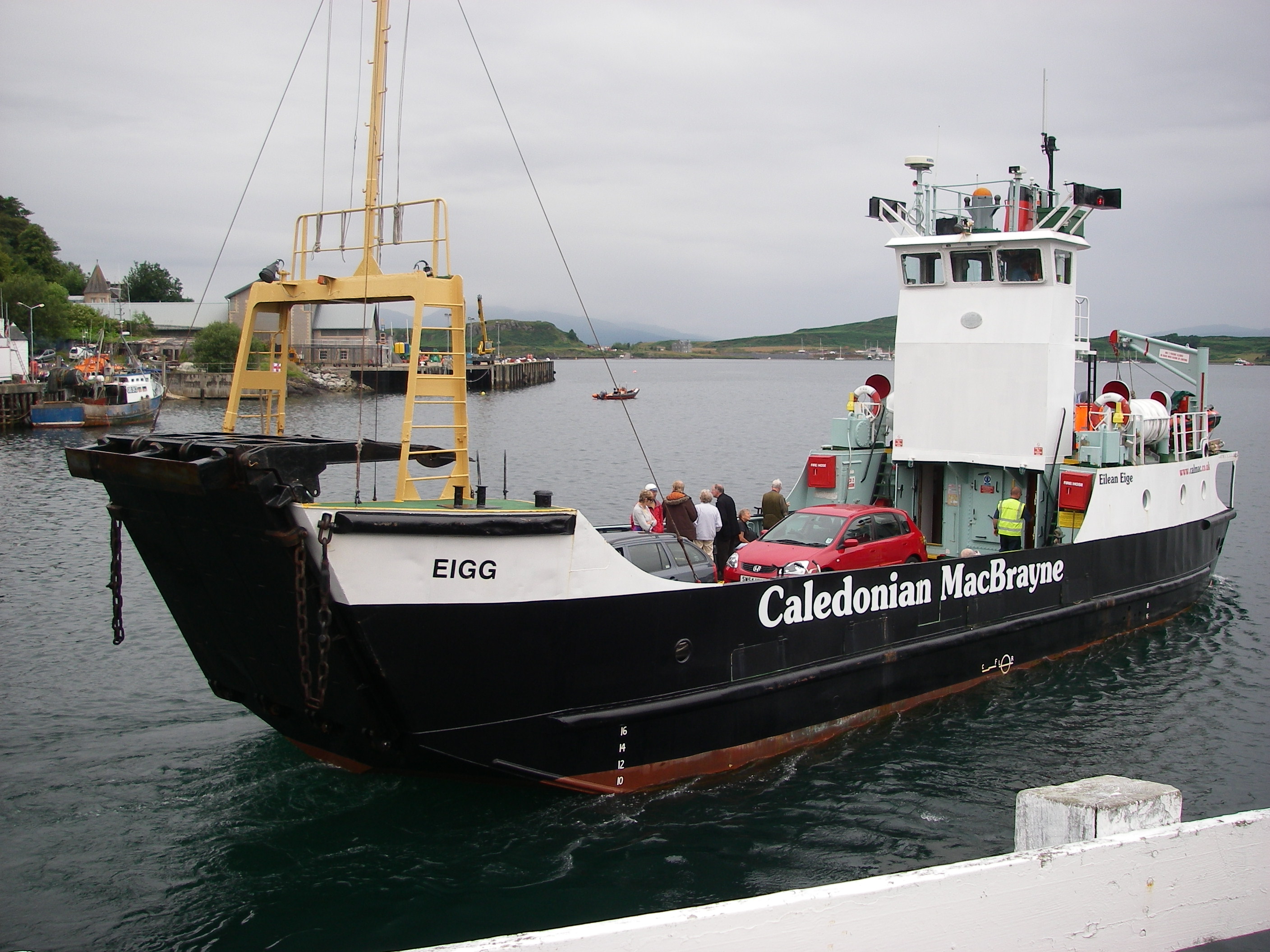
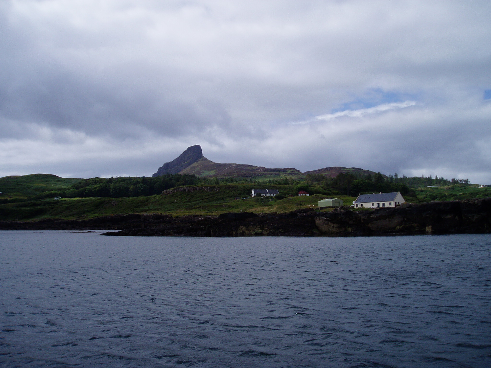
Still ready for punishment, we went in and out again the next day in rather bleak weather that called for just as much concentration at the entrance. We went across the sound to have lunch at the anchorage at the island of Eigg, which is between the main island and its small neighbour Chathastail; it turned out to be quite an uncomfortable passage because of a short steep chop, and the temperature fell precipitously.
Back at Arisaig, Judy and Tony had found a bed and breakfast behind the restaurant, so comfortable that we weakened when we discovered that there was a room free, and checked in for the night. Judy and Chris were heading back south by car the next day, while Tony and I were getting ready for the passage north through the Sound of Sleat and Khyle Rhea, the narrow fast-running passage between Skye and the mainland.
In Khyle Rea, we got up to 12 knots over the ground as we raced through on the tide, dodging the little ferry that crabs across from the mainland; we skittered through to Loch Alsh, under the Skye Bridge and north to pick up a mooring at the beautiful village of Plockton, so sheltered that it has palm trees on the waterfront. The next day, with a brisk broad reach, we headed up the Sound of Skye and slipped through the narrow passage between Fladday and Rona to the Sound of Raasay, and then to Gairloch, in Loch Gairloch. We found a pontoon for the night at the harbour, and looked up some friends of one of my sisters. They were very hospitable, driving us out to dinner at a delightful pub at Druimdarroch on the other side of the loch. We noticed some moorings which would be handy for the pub.
The next day we set off at a good pace for Stornoway on the outer Hebrides island of Lewis, in brisk weather.
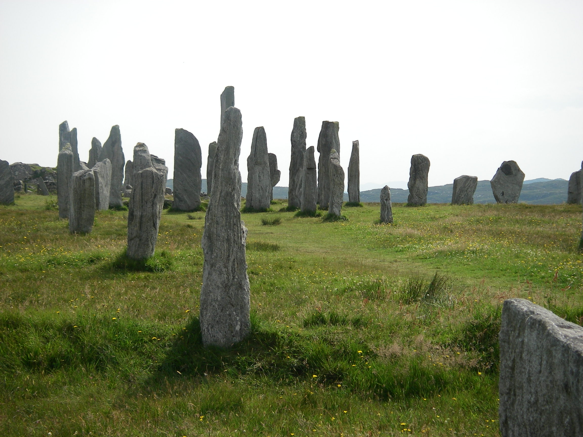
The highlight of our time on Lewis was a local bus journey to the 5,000 year old standing stones at Callanish, near the Atlantic side of the island; the stones are not individually as large as at Stonehenge, but there are many more standing, and they are in an impressive position, close to a sea loch on a wild, windswept hill.
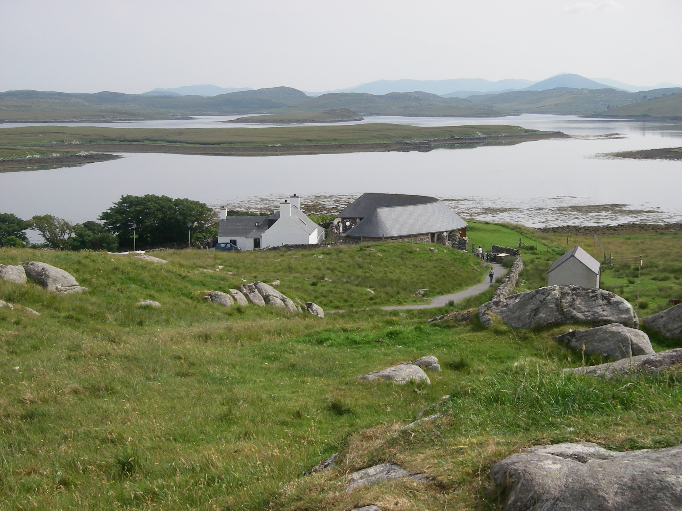
There was a good visitors’ centre, but back at Stornoway we found the local museum gave a wider context to the island’s pre-history, which goes back 7,000 years. One of the most astonishing things I learnt was that the great peat bogs on the west of Lewis were the result of over-intensive agriculture several thousand years BC, a fact which gradually emerged as the stone field boundaries and remains of villages were found as a result of peat digging.

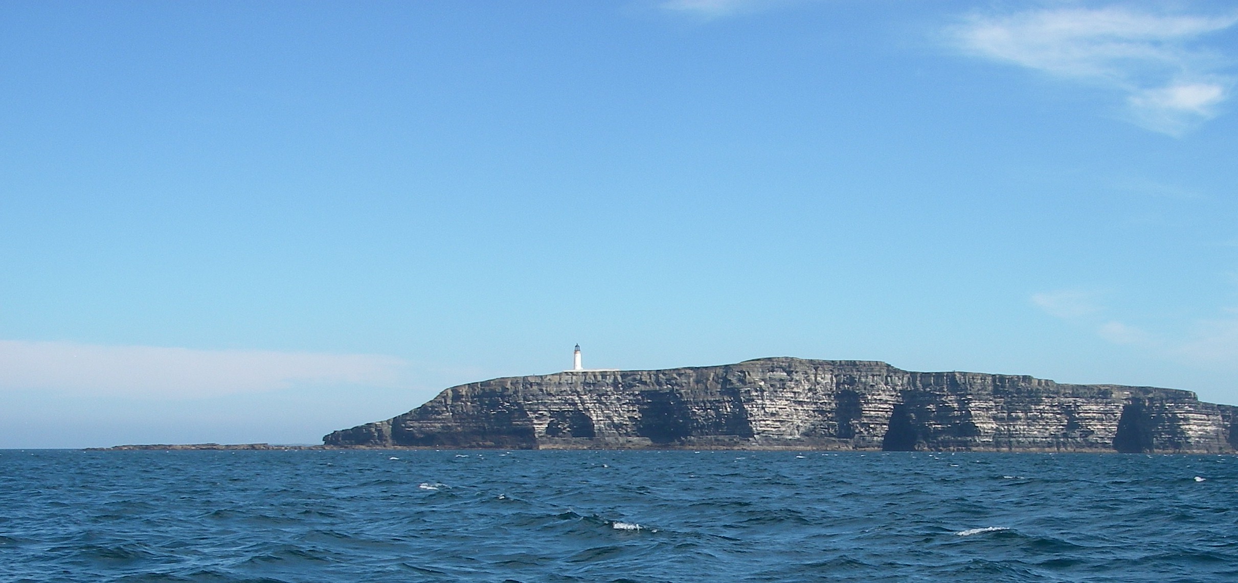
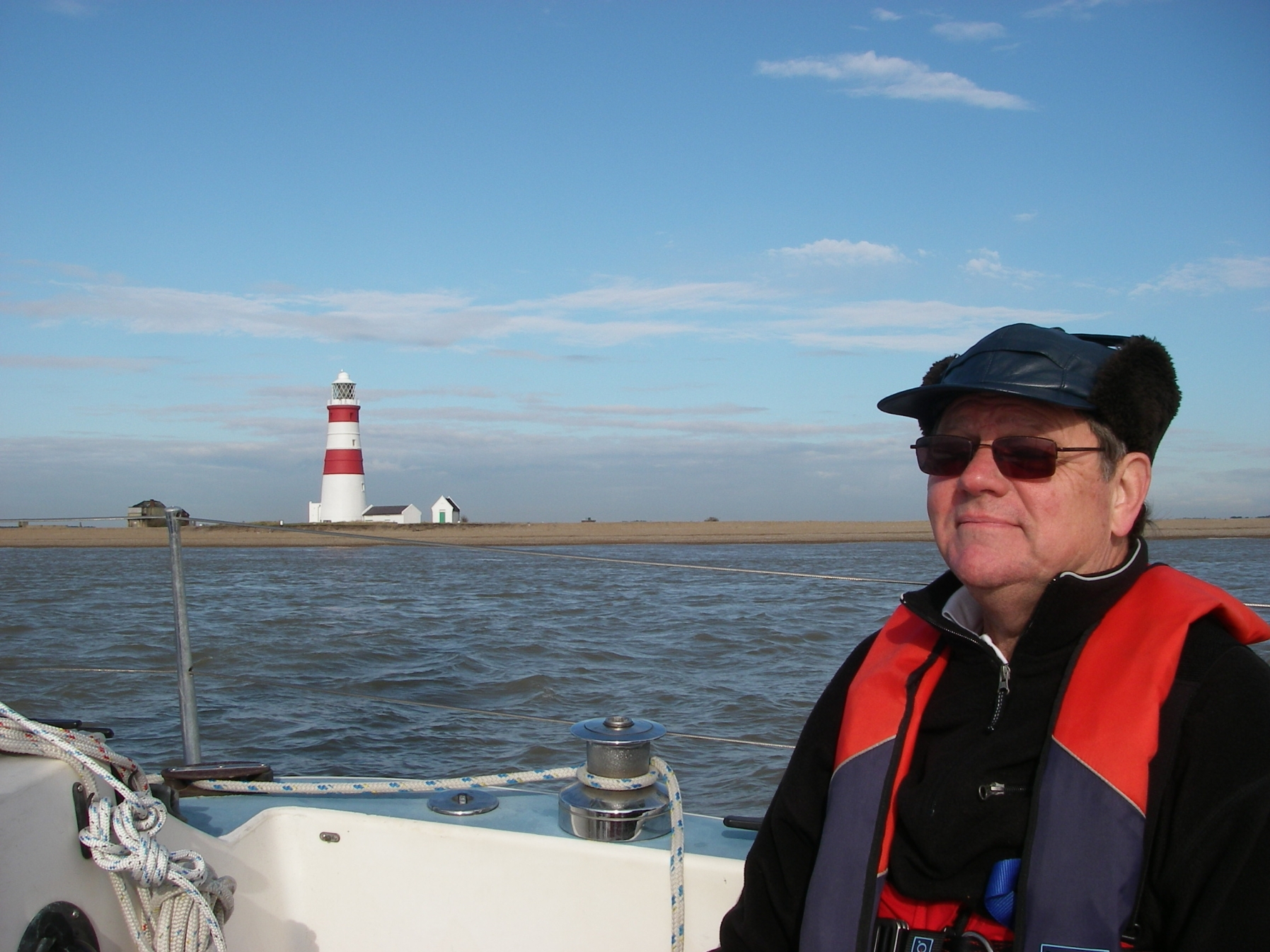
We set off from Stornoway on a bright, sunny day with a good breeze, heading for Cape Wrath (Norse for turning point), hoping to go close inshore in the fine weather.

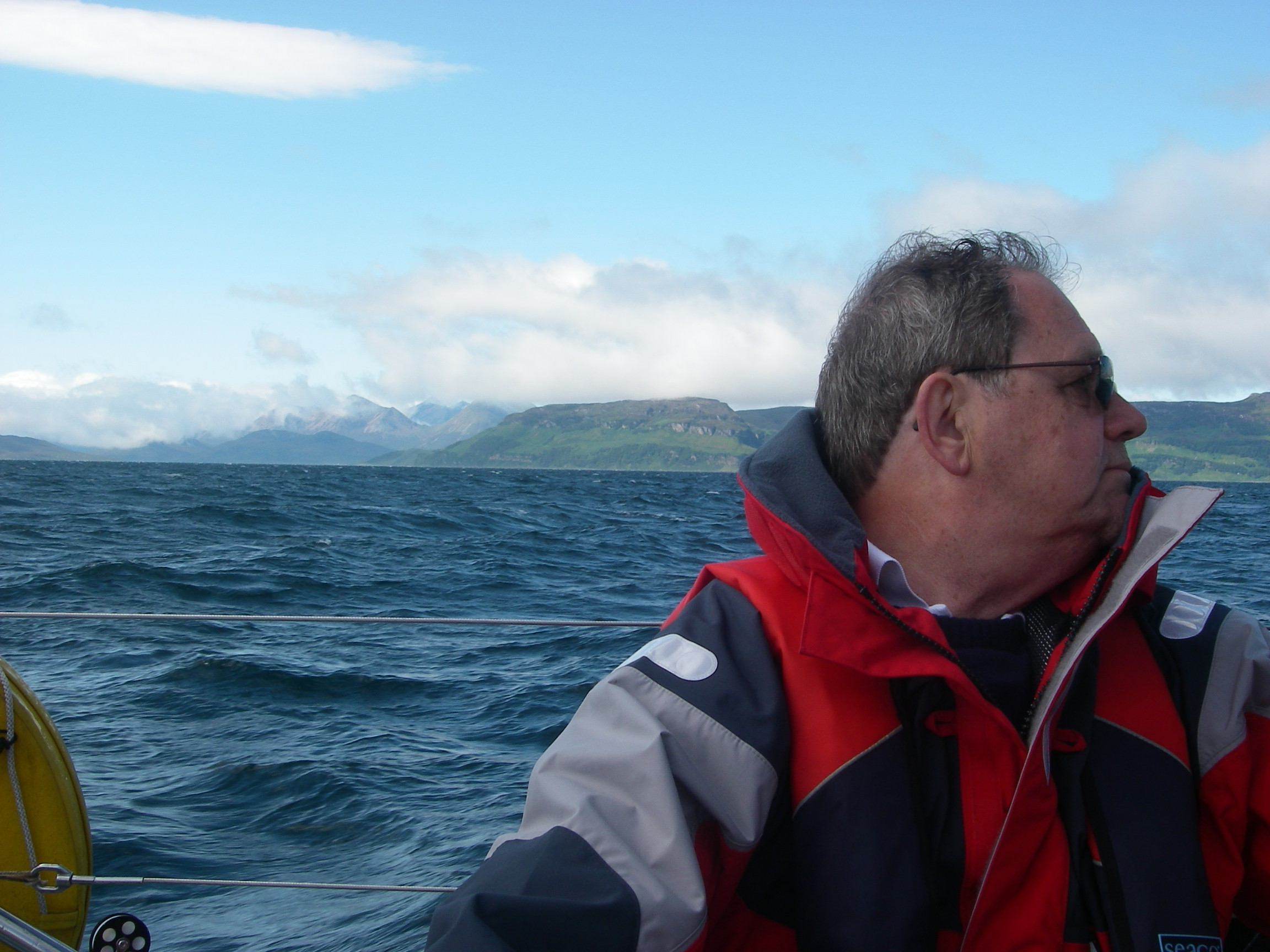
As we approached, the easterly wind and the seas gradually got up, and it looked liked we’d be faced with wind against tide as we got near the headland, which has a reputation for turning suddenly fierce.
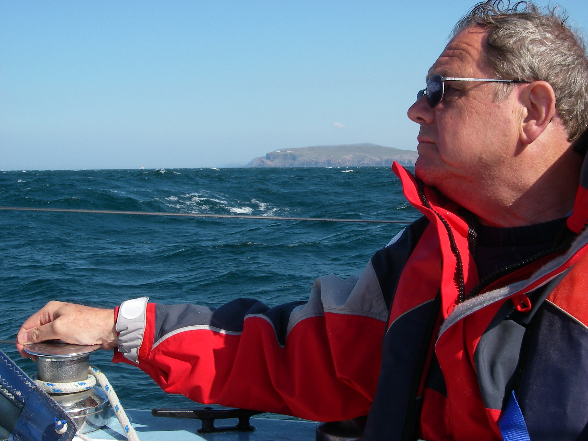
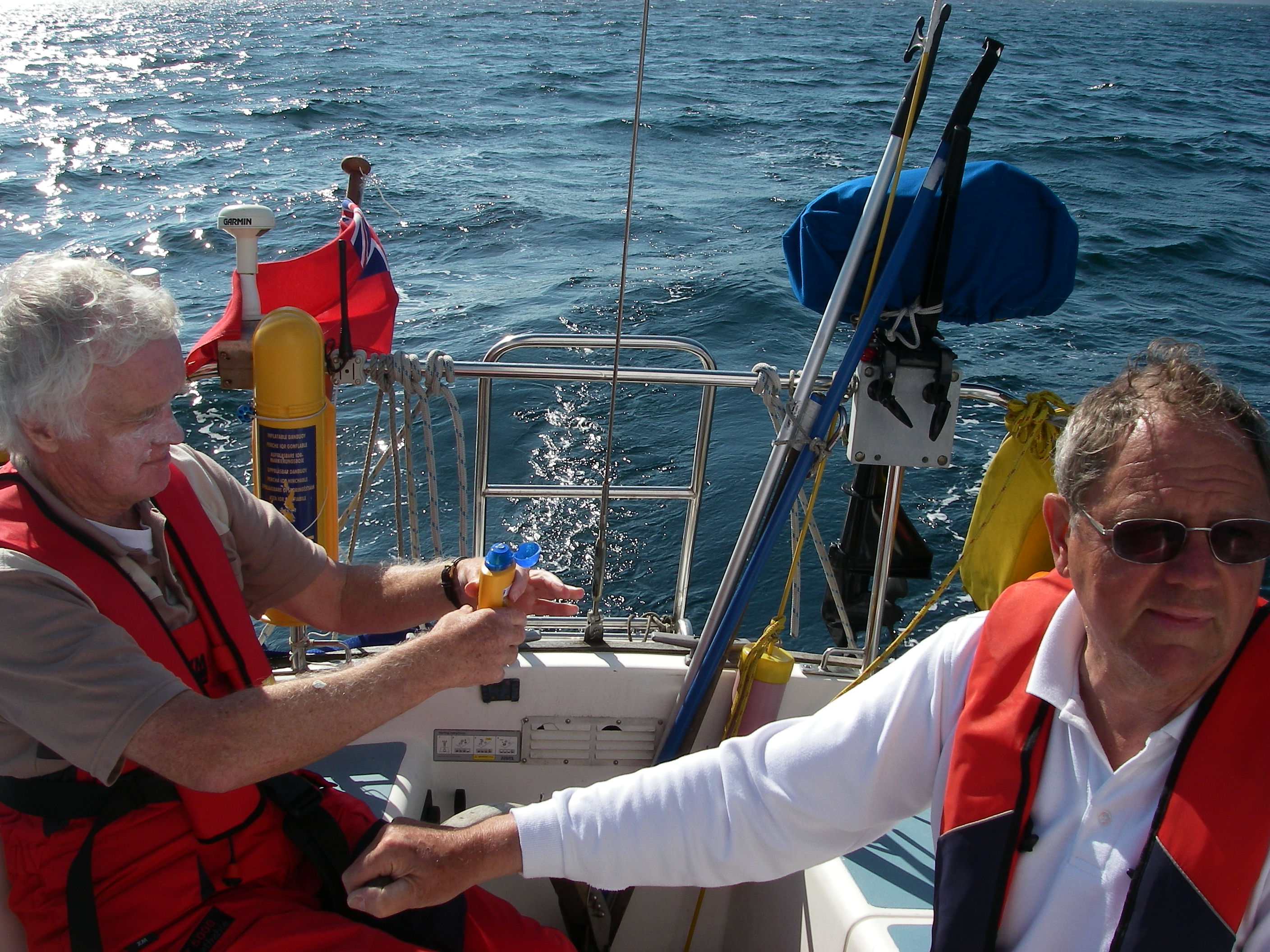
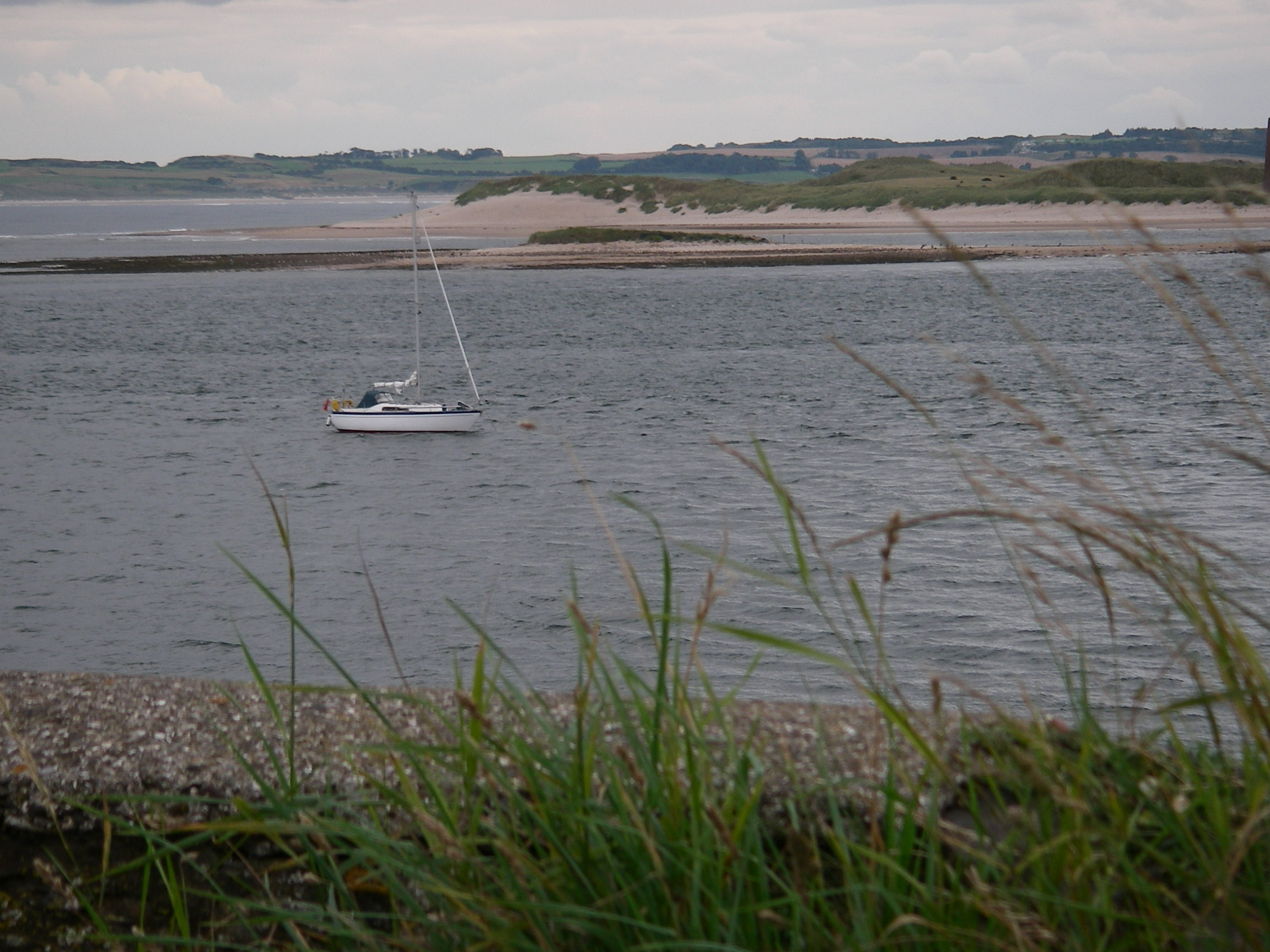
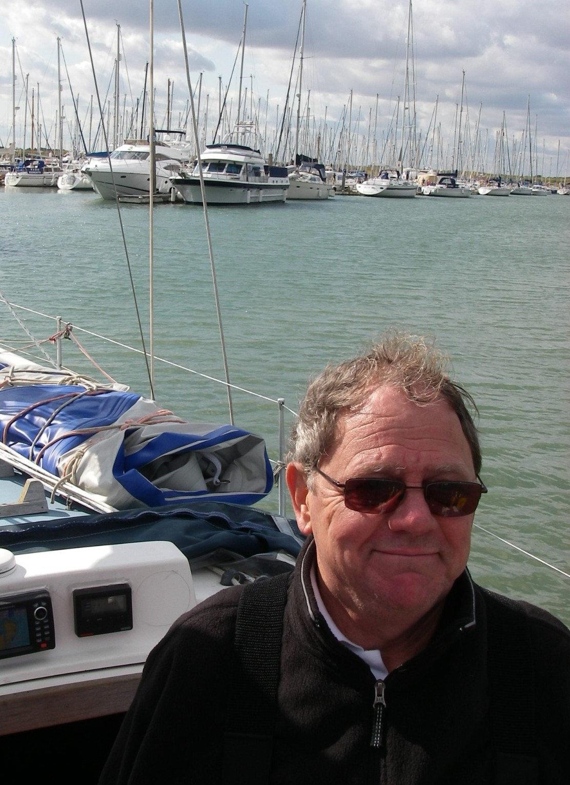
So we headed about 5 miles out. Shortly after this photo was taken the wind was up to 6 gusting 7 coming from exactly where we wanted to go for the night, Loch Eriboll (the Navy’s Loch ‘Orrible from the days when warships sheltered there), a few miles along the northern coast of Scotland; we were down to three reefs and making no progress against short, steep waves, so put the mainsail away and motor sailed with the reefed genoa only, which got us down to 15 degrees off the wind rather than 40 degrees, giving a reasonable hope of getting to the loch entrance before dark. There’s only one light, well up the loch, and four islands and lots of rocks near the entrance. We moored in a bay half way down on the east side.
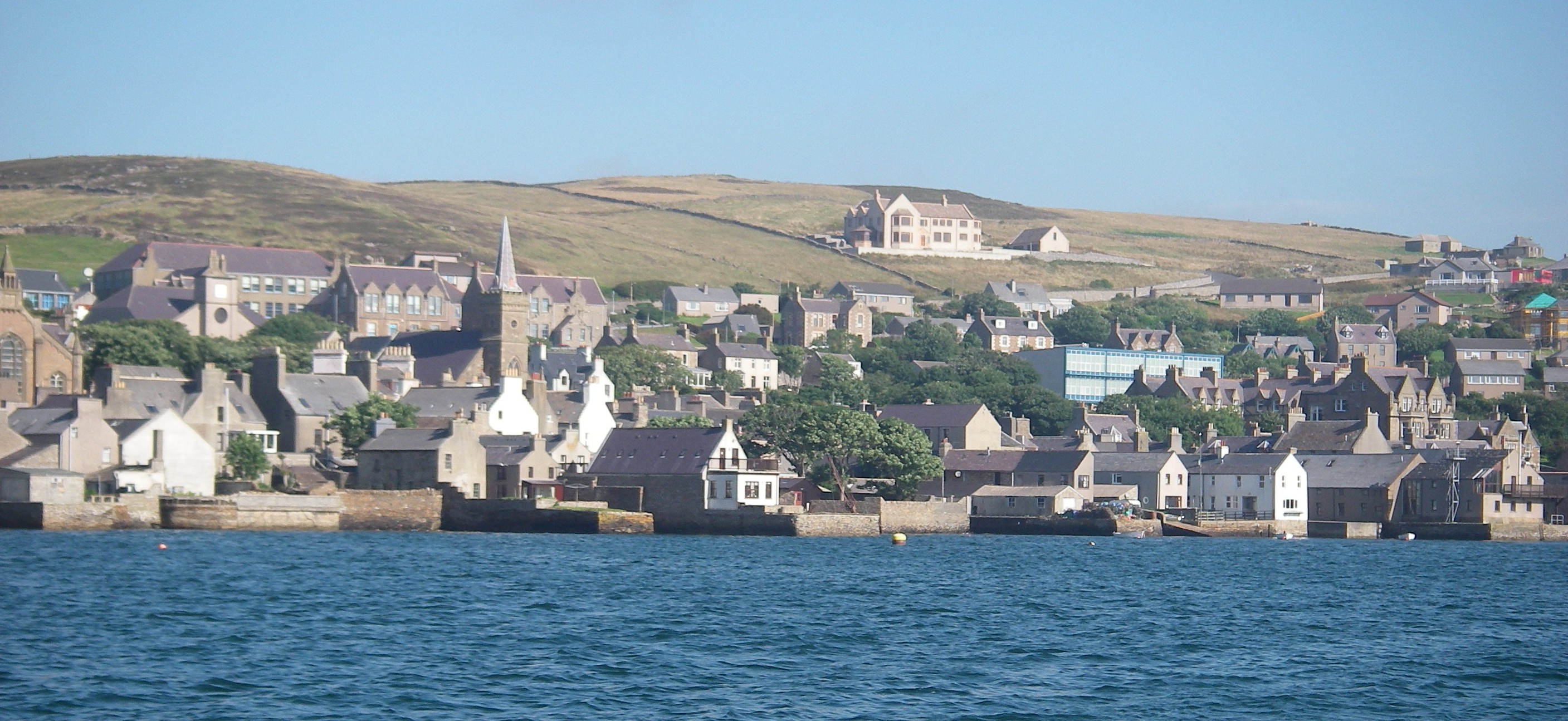
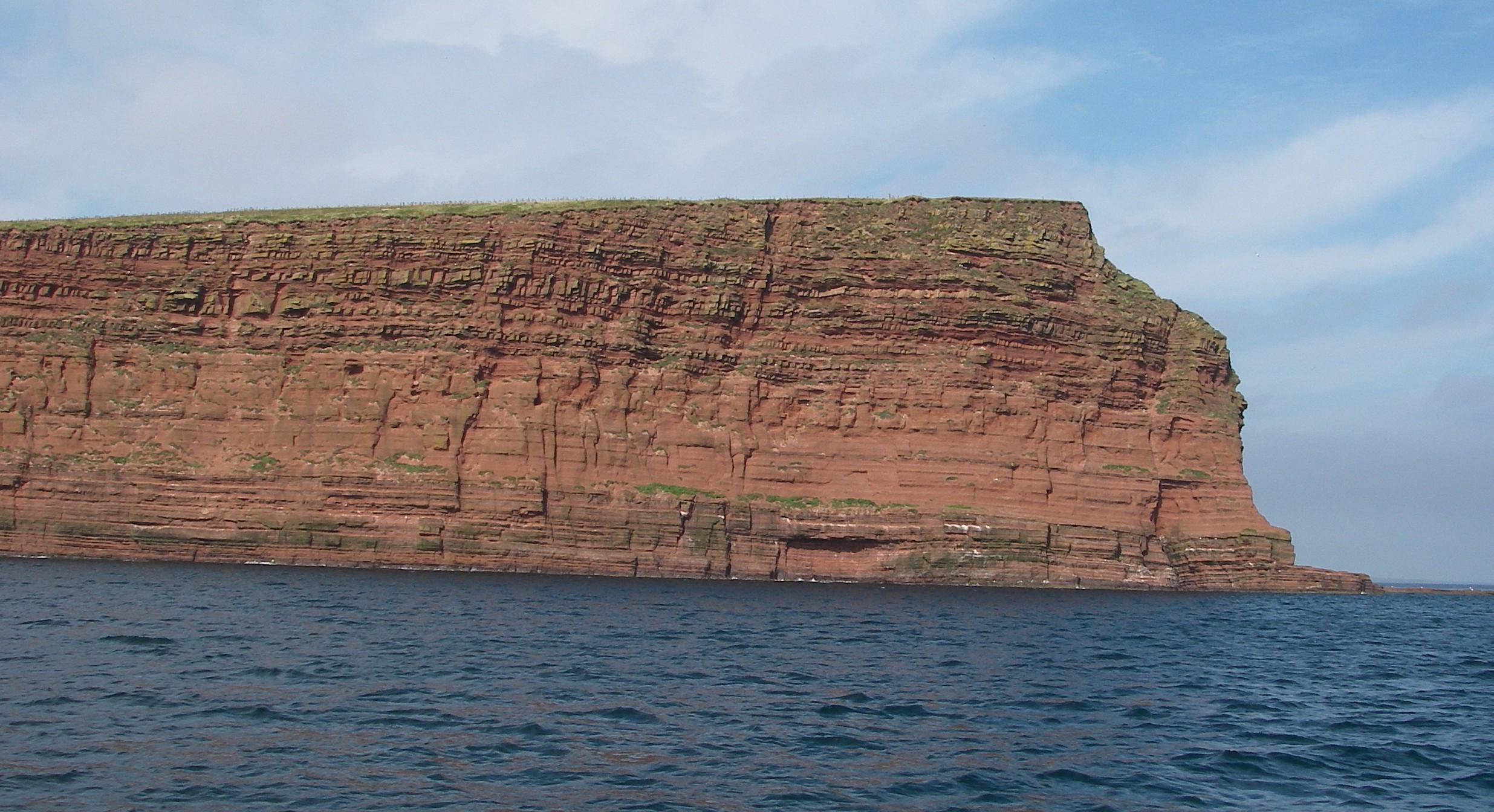
Leaving Loch Eriboll in the early morning, everything looked perfect, with a clear sky, calm waters and a decent breeze which carried us all the way until we were in sight of Hoy, the south western island of the Orkneys, which has a very distinctive dome shape. We were heading for the narrow entrance to Scapa Flow, to find the inlet running up to Stromness. The tides are very strong in the narrows – up to 8 knots at springs – and a sharp turn to port is required from the main channel. It is rather important to be able to see the marks.
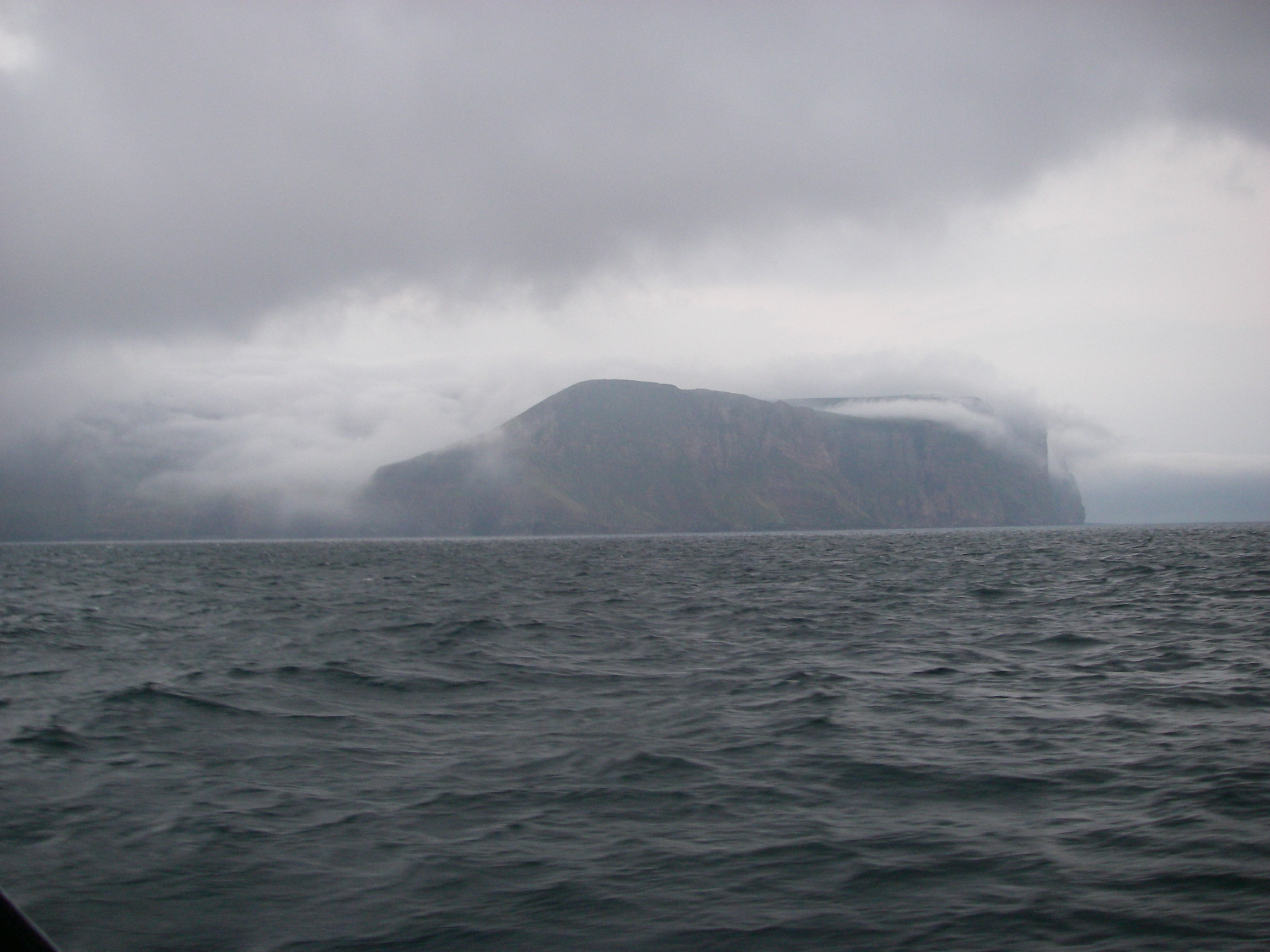
It was therefore with some nervousness that we watched great banks of fog falling off Hoy as we approached. By the time we reached the channel, visibility was a couple of boat lengths, one of the thickest fogs I have ever seen. We wished we had the timetable for the ferry to the mainland, so kept a listening watch for it. We had two options: head back to sea for the night (back in the fog across what had proved to be a suprisingly busy shipping route close down the west side of the Orkneys) or continuing in the murk using depth sounder and – against all the rules – the chartplotter.
This had been pretty reliable all the way from Suffolk. Little did we know how inaccurate some of the Orkney inshore charts are (see this later post for detail) because if we had we might have turned around. But we plugged on, relying on a combination of the plotter and a sharp lookout, until we caught a glimpse of the lighthouse on the reef near Point of Ness, so close that it was a bit of a shock. That marked the turning point from the strong tides in Hoy Sound up into Stromness Harbour and its marina. The plotter had in fact turned out to be remarkably accurate. I suspect that was because as a ferry harbour, Stromness and its neighbourhood must have been resurveyed much more frequently than some other parts of the Orkneys.
We stayed four days in Stromness, waiting for Peter Finch to arrive by plane, and also for the end of the fog, which lasted until the day we left. But the time was not wasted.
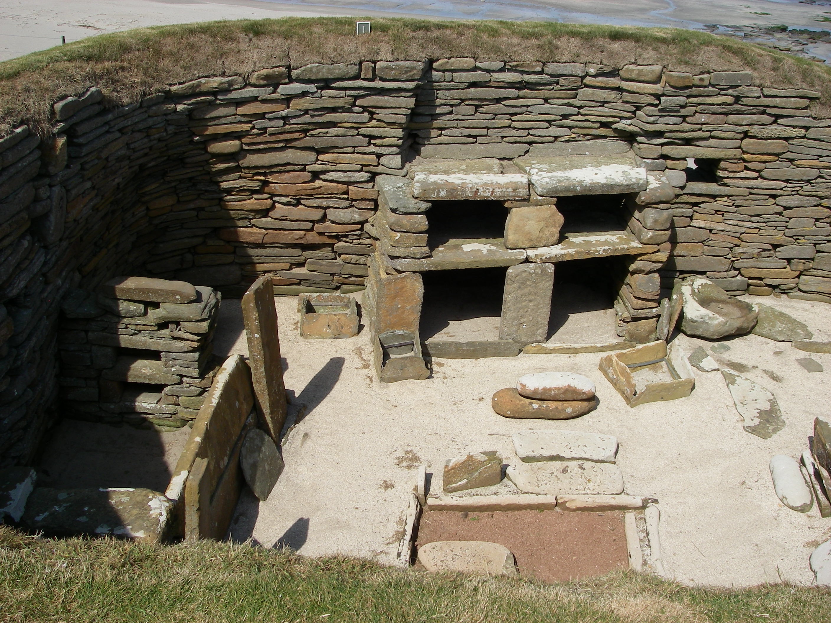
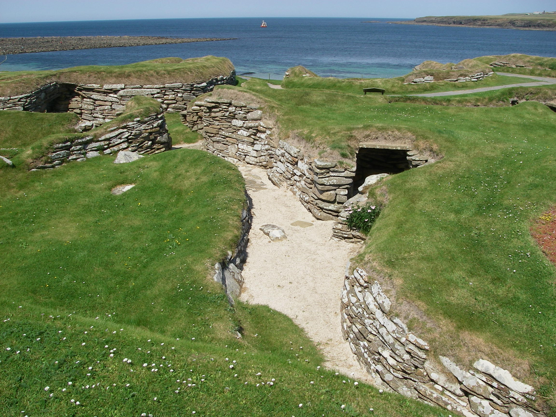
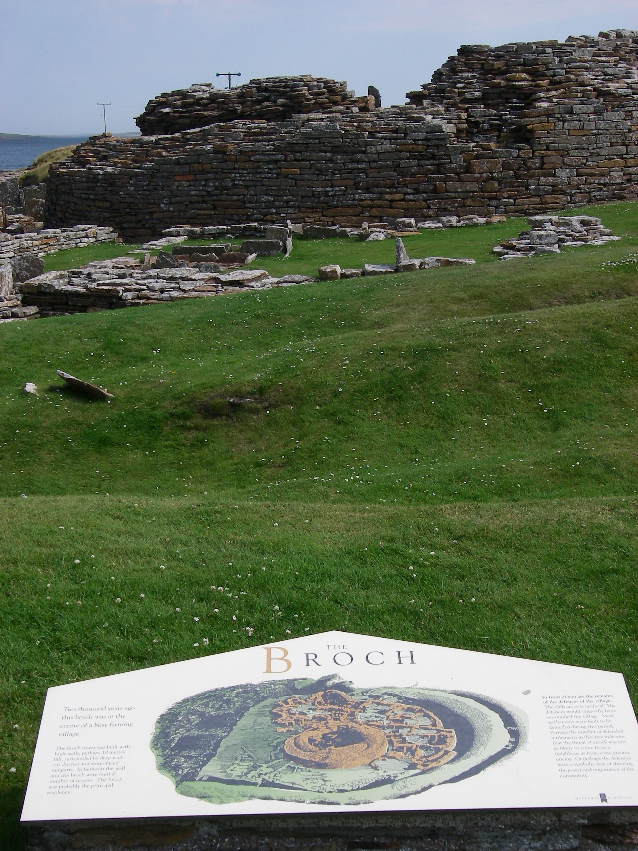
The Orkneys are full of archaeological treasures; we hired a car to see some of them, and also to visit the main town, Kirkwall, and its cathedral and Earl’s Palace. Skara Brae, a complete neolithic village from 5,000 years ago, discovered by the seashore in the 1850s, was stunning; Maes Howe, a chambered tomb with a single entrance and a beehive roof inside was nearly as impressive; there were the extensive ruins of a fortified village at The Broch; and on the island of Brough we saw the foundations of a Norse village, 4,000 years younger than Scara Brae and containing the walls of a Christian church. We picked up Peter Finch at the airport on a miserable, grey day, which must have made him wonder why he had travelled so far north for a holiday.
When the fog suddenly cleared, we found a bright day with a gentle westerly breeze, with the seas still low. We motored back out of Stromness the way we had come, and then up the west coast of the Orkney Mainland in a splendid and increasingly fast sail, heading for the island of Westray.

The wind strengthened as we headed down the channel between the island and its smaller northern partner, Papa Westray.
By the time we got to the harbour at Pierowall, the wind was gusting seven, and as we entered the little harbour I saw with some alarm that the only free berth was at the end, broadside on to the wind, requiring a sharp turn at the last minute. With the sails put away the wind was still trying to accelerate the boat, and we saw with relief the harbourmaster appear with an enormous fender, much bigger than ours. As we turned at right angles to come alongside he thrust the fender down just in time for the impact as the wind drove us sideways on with quite a force. We were very grateful to him as the boat ground to a halt.
In the way of these things, almost as soon as we were secure alongside, the wind dropped and the sun came out.
There are a couple of restaurants nearby, one in walking distance and a second a mile or two away that offers to pick up customers and drive them back to their boat. We chose the one in walking distance. It was perfectly alright, but as with others we tried in the Orkneys, there didn’t seem to be much in the way of local seafood delicacies, despite the tourist advertising that show them as a main attraction.
From Pierowall, we headed across North Sound, past the cliffs of Red Head on Eday, and down Calf Sound, the narrow channel between Eday and the Calf of Eday.
The weather was still clear, with a westerly and southwesterly 3 and 4 until we went down Eday Sound, when the wind got up and the visibility dropped. We rounded into Sanday Sound between Sanday and Stronsay and piloted, helped by the chartplotter again, into Papa Sound. This is a channel between Stronsay and Papa Stronsay, where we found some good holding ground off the village of Whitehall, about half way between a breakwater and the ferry pier – another place where we’d have ignored the chart plotter if we had known what we found out later about Orkney chart accuracy. (See link above).
The weather closed in, so miserable and wet that we could not even get up the willpower to launch the dinghy to go ashore to find the village pub, which if it existed at all seemed to be a long walk away. We played cards and read for two days.
I was part way through reading my copy of the Penguin Classics translation of the Orkneyinga Saga, written in the 12th century when the Orkneys were still part of the Viking world. By some extraordinary coincidence, when I picked up the book again I found that I had just reached the story of the violent murder of Earl Rognvald, which took place on the little monastery island of Papa Stronsay, a stone’s throw from where we were moored. The name Papa derives from a word for priest, and there was a monastery on the island in the earl’s time.
Curiously, lying in my bunk in the forecabin reading this gruesome tale of Viking violence, I heard bells tolling across the water; this disturbing background sound to a tale of death and destruction on a monastery island was disturbing. Perhaps the violence of the tale was getting the better of my imagination, because there was no buoy nearby with a bell, or maybe it was some acoustic effect of the wind on the boat or the nearby pierhead.
Returning to the book, I read that Rognvald had left Kirkwall with a large band of men just before Christmas for Papa Stronsay to fetch malt for the Christmas ale. There was an ambush by Earl Thorfinn, who surrounded the house where they were staying, set fire to it, allowed the monks to leave, but not Rognvald’s men. Rognvald escaped and hid among the rocks by the sea, but was betrayed by the barking of his lap dog, and was killed, and so were all his men. Thorfinn then sailed back to Kirkwall pretending to be Rognvald, and used the surprise to take control. Rognvald’s body was carried to Westray for burial, which would have had to have been by boat, back the way we had just come.
Very early the next morning, around dawn, I heard the bells again. This time there was no mistaking them. Bells were tolling on Papa Stronsay. What on earth were they? Remote as we were in the northern Orkneys, there was a good mobile signal with access – very slowly – to the internet, and I discovered that in 1999, redemptorist monks had set up a new monastery on Papa Stronsay, where they perform the old liturgy, including the mass in Latin. So the wonderfully appropriate sound effects for my reading of the story of Rognvald’s murder on the monastery island were real.

The weather cleared as suddenly as it had closed in, and we headed off down the east side of the Orkneys on another brilliant day, with a bit of a swell and good force 4 to 5 to speed us along. Because there were a plane and a train for the crew to catch to catch in Edinburgh, we sailed straight for Peterhead, skipping Wick.
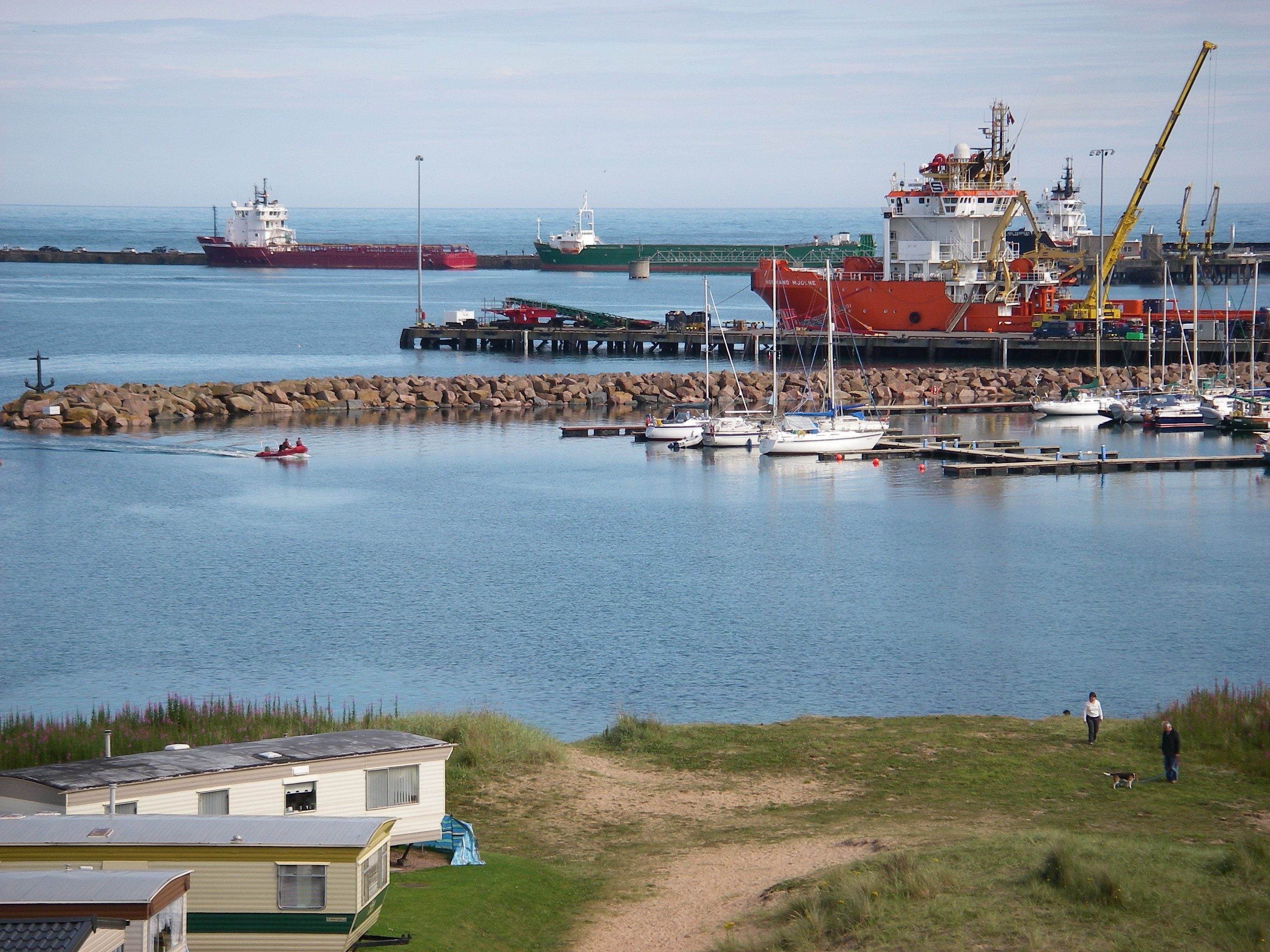
The marina in Peterhead is very sheltered but I don’t recommend it as a stopover if you have the stamina to keep going, because it is a rather bleak oil service port overlooked by the grim prison named after the town. We were tired, arriving late at night and setting off the next evening for an overnight passage to Edinburgh.
We motored most of the way to Edinburgh, after dawn admiring the coastal scenery from close inshore. By the time we got to the Firth of Forth there was a glassy calm.
We moored in Granton Harbour, which is mostly drying mud but has a narrow deep water channel up to the yacht club pontoon.
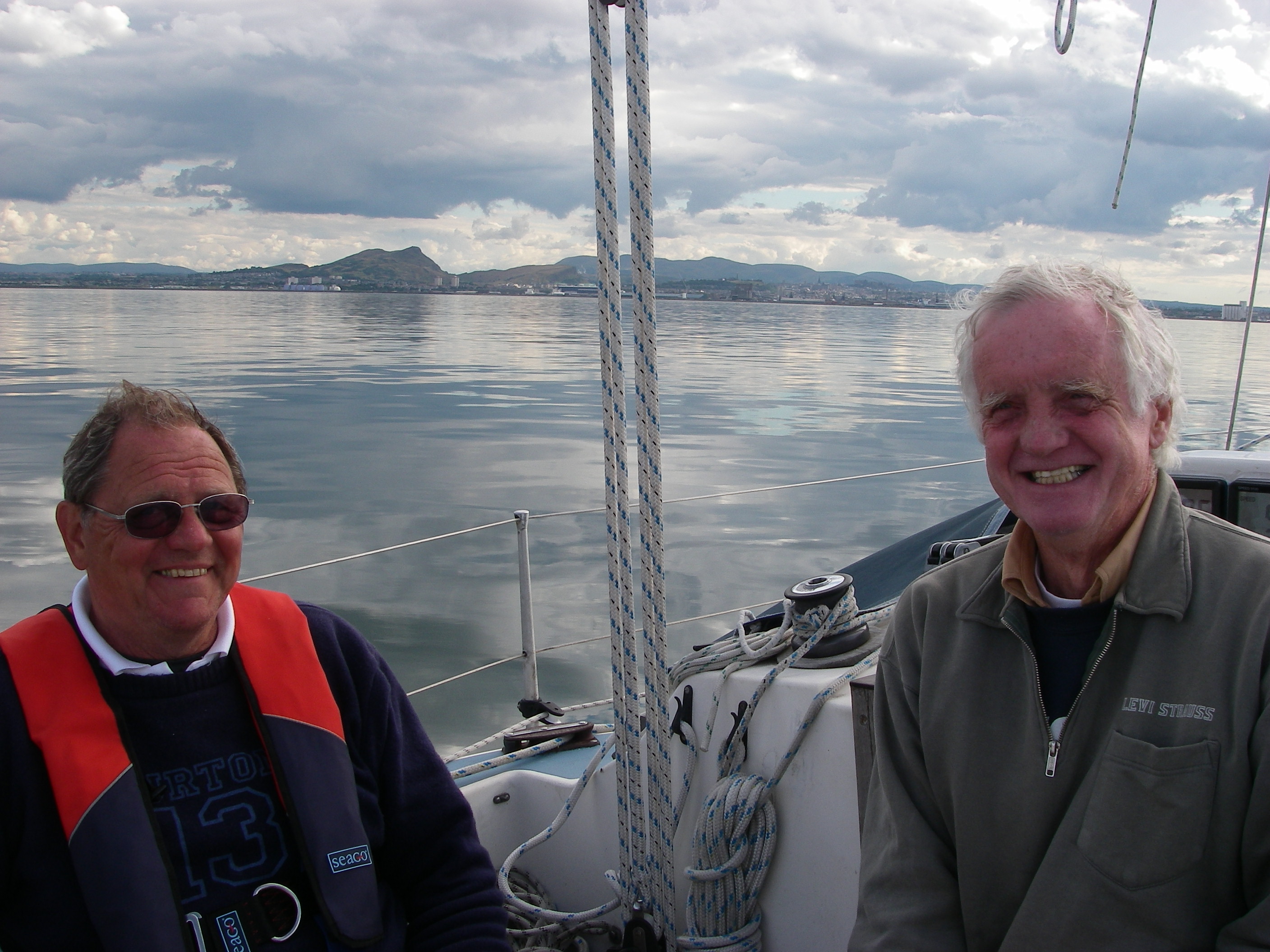
There were three reasons for going to Edinburgh – to drop both crew off because they had to get home (to Surrey and Luxembourg), to visit the Edinburgh Festival with Georgia, who was working there for the Pleasance comedy theatre in her vacation from the university, and to wait for Jamie, the crew for the next leg south.

There’s an excellent bus service to the centre of Edinburgh, where we met Georgia and gathered lots of tips for shows. Tony and Peter F saw several before leaving, and I spent a whole week catching up on comedy, music, theatre and the Tattoo from my cheap floating accommodation, a bargain compared with the cost of a room in the festival weeks.
Almost dragging ourselves away from the Festival, we eventually set off down the Firth of Forth for Eyemouth, a little fishing village just on the Scottish side of the border with England.
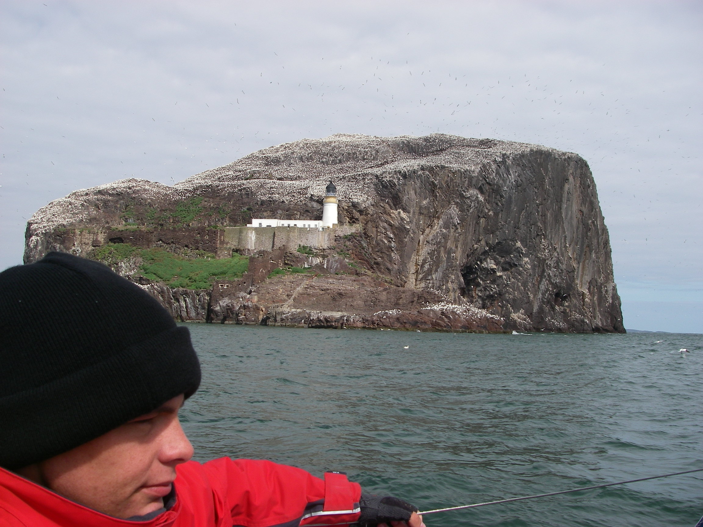
We passed inside Bass Rock, which we could smell several miles away, because it is encrusted in droppings from the tens of thousands of gannets that make their homes there, one of the biggest populations of the birds anywhere.
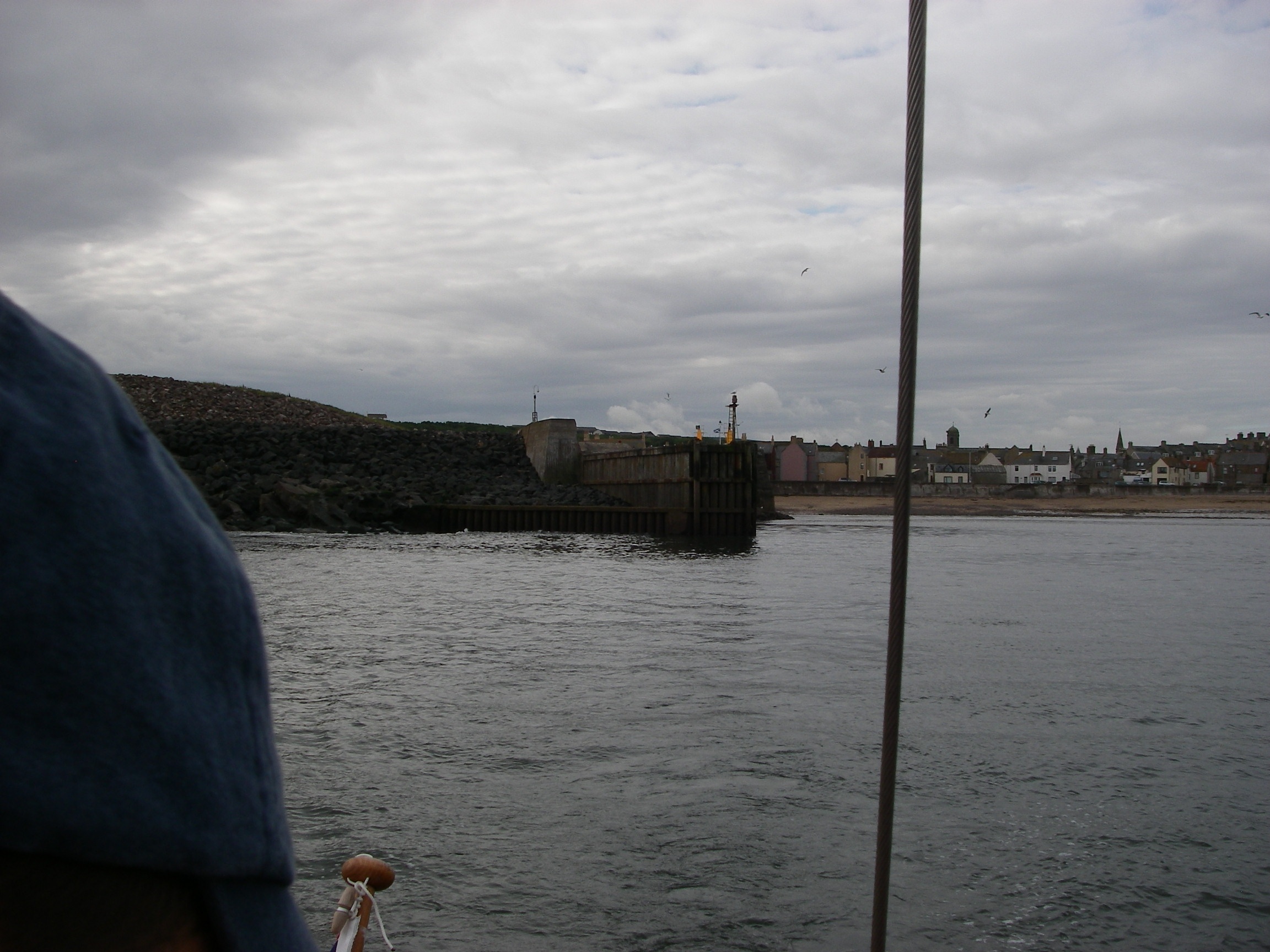
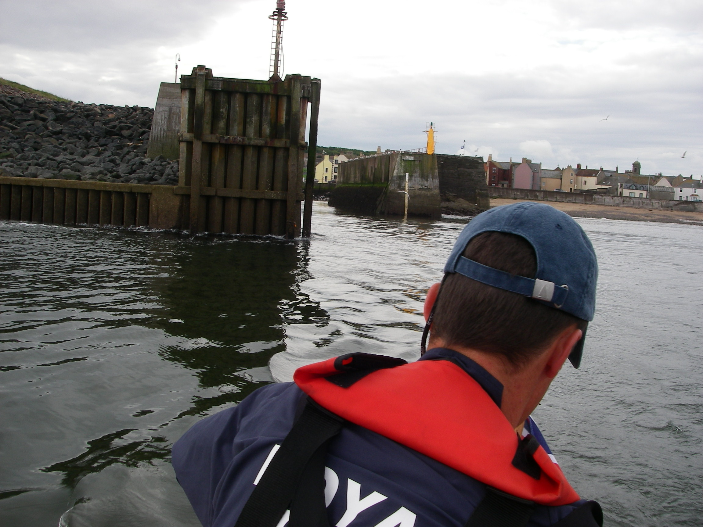
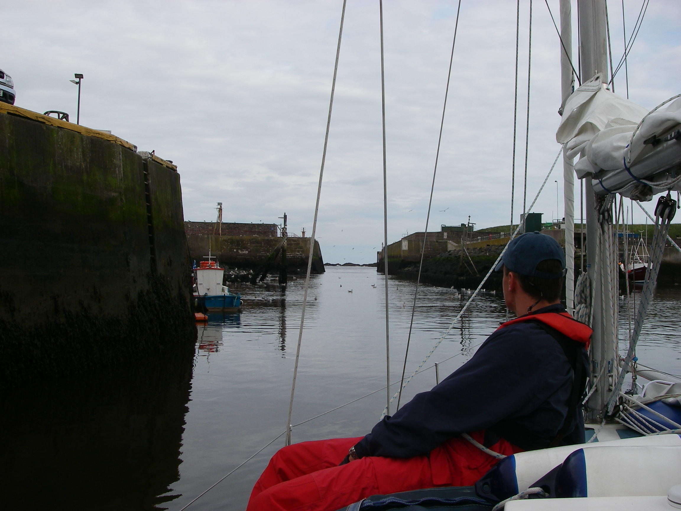
Finding Eyemouth on the rocky coast was not as straightforward as I expected, because the entrance was hard to see from a distance, and the chartplotter was helpful. There is a line of rocks on the approach and the entrance to the harbour itself does not open up until well inshore, quite near to the beach. We were too busy trying to find our way in to bother with photos, but here is a series taken on the way out, but reversed. Click to see full screen.

A delightful place once in: a prosperous fishing community (unusual for such a small harbour) with some obvious new investment, a fishing boat builder, some nice pubs and restaurants and good shops.
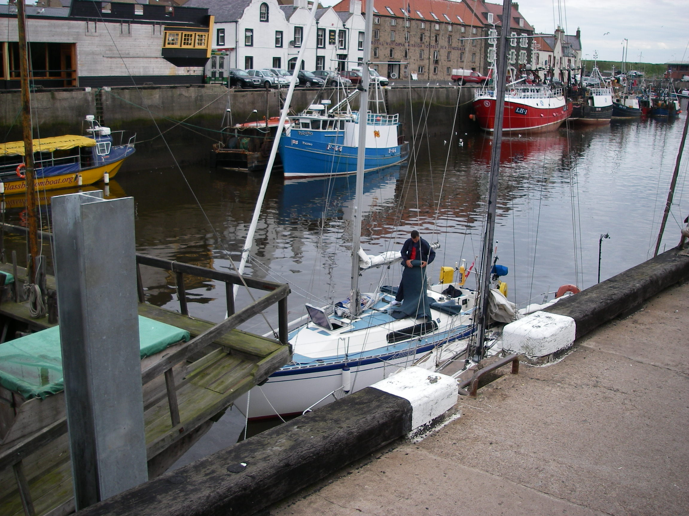
There’s also a genuine teak-built chinese junk, which seems to belong to the local museum, but there had not at that time been any attempt to open it to the public. All in all, a good stopover on passage except in strong onshore winds, with some very interesting pilotage to add a bit of excitement.
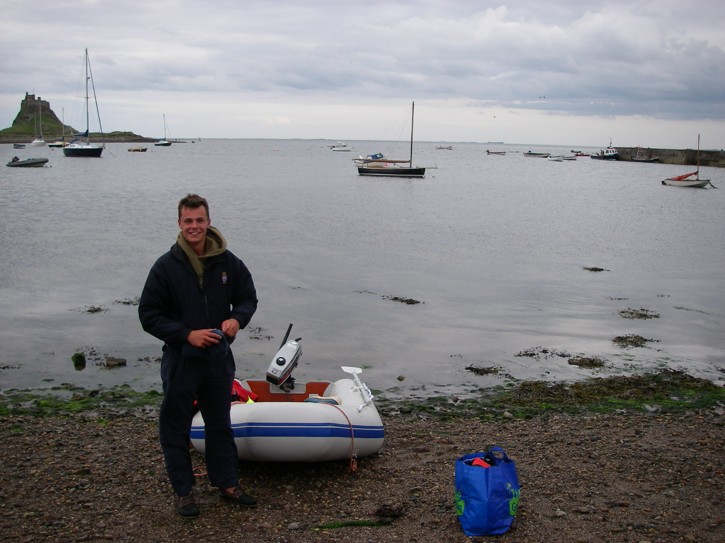
From Eyemouth, Jamie and I headed South for Holy Island, known when it was an important religious centre as Lindisfarne. The settlement was founded by St Aidan, an Irish monk born in 651 who came from St Columba’s monastery on Iona, next to Mull.

There is a pair of enormous leading marks on the way in, followed by a sharp turn to follow the channel over the sand bar using other marks on the island itself.
The anchorage looks exposed to the south east, but is actually very well protected by the shallow bar, feeling more uncomfortable when the tide is in and the wind is from the land, because of the two or three mile fetch. The tide runs strongly through the anchorage. The bay near the village dries completely. Even getting out in the dinghy at low tide is a bit of a challenge.
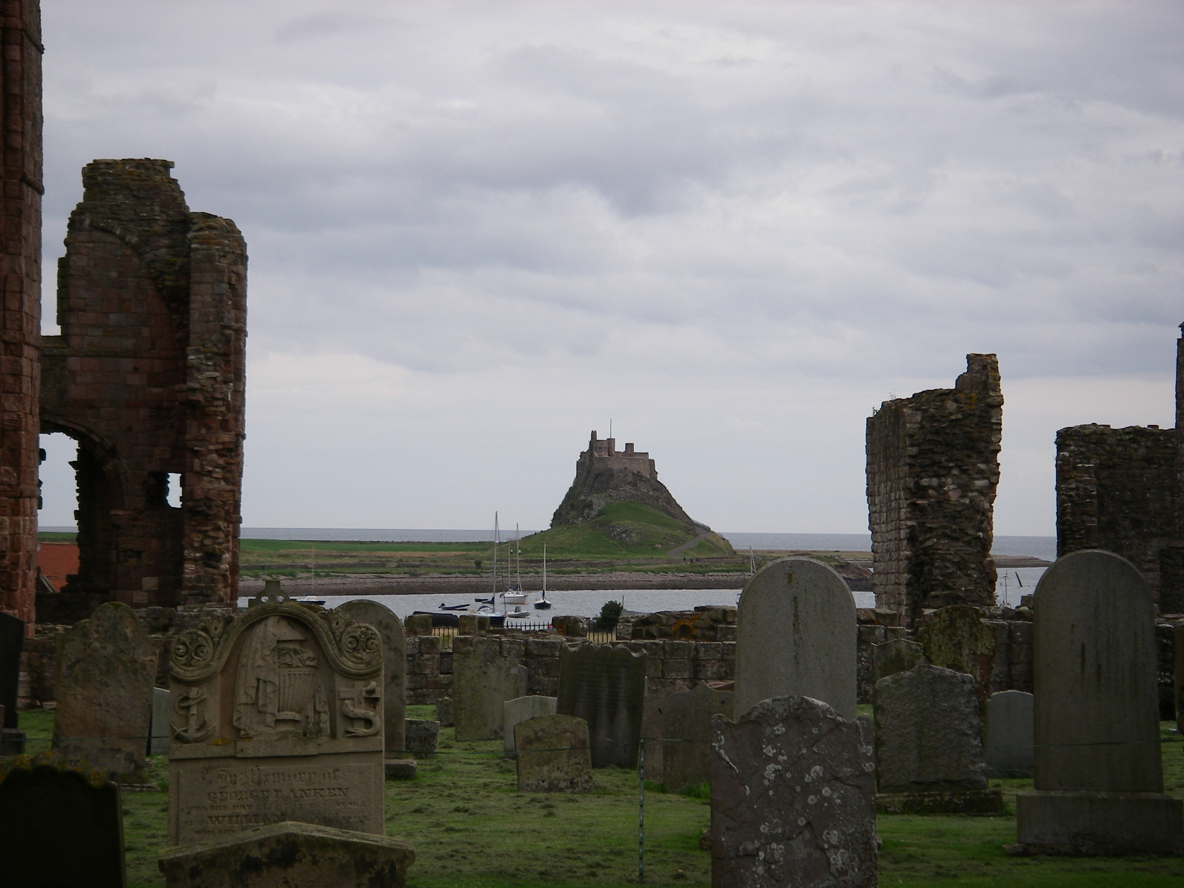
The castle, which is dramatic, is largely a Victorian conconction by Lutyens, with a delightful walled garden by his friend Gertrude Jekyll on a hill opposite, with a view back to the walls. 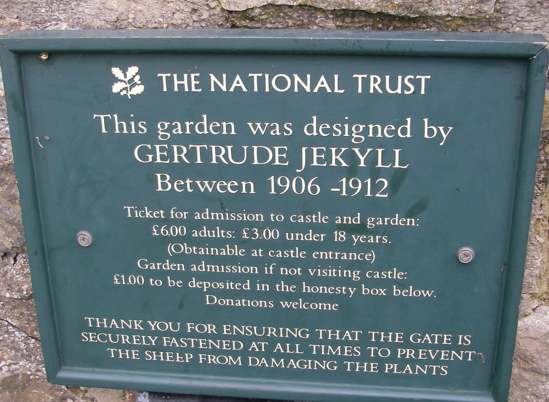 The castle and the village are very crowded in summer when the tide is out and the causeway to the mainlaind is open to traffic, but they magically clear as the tide rises.

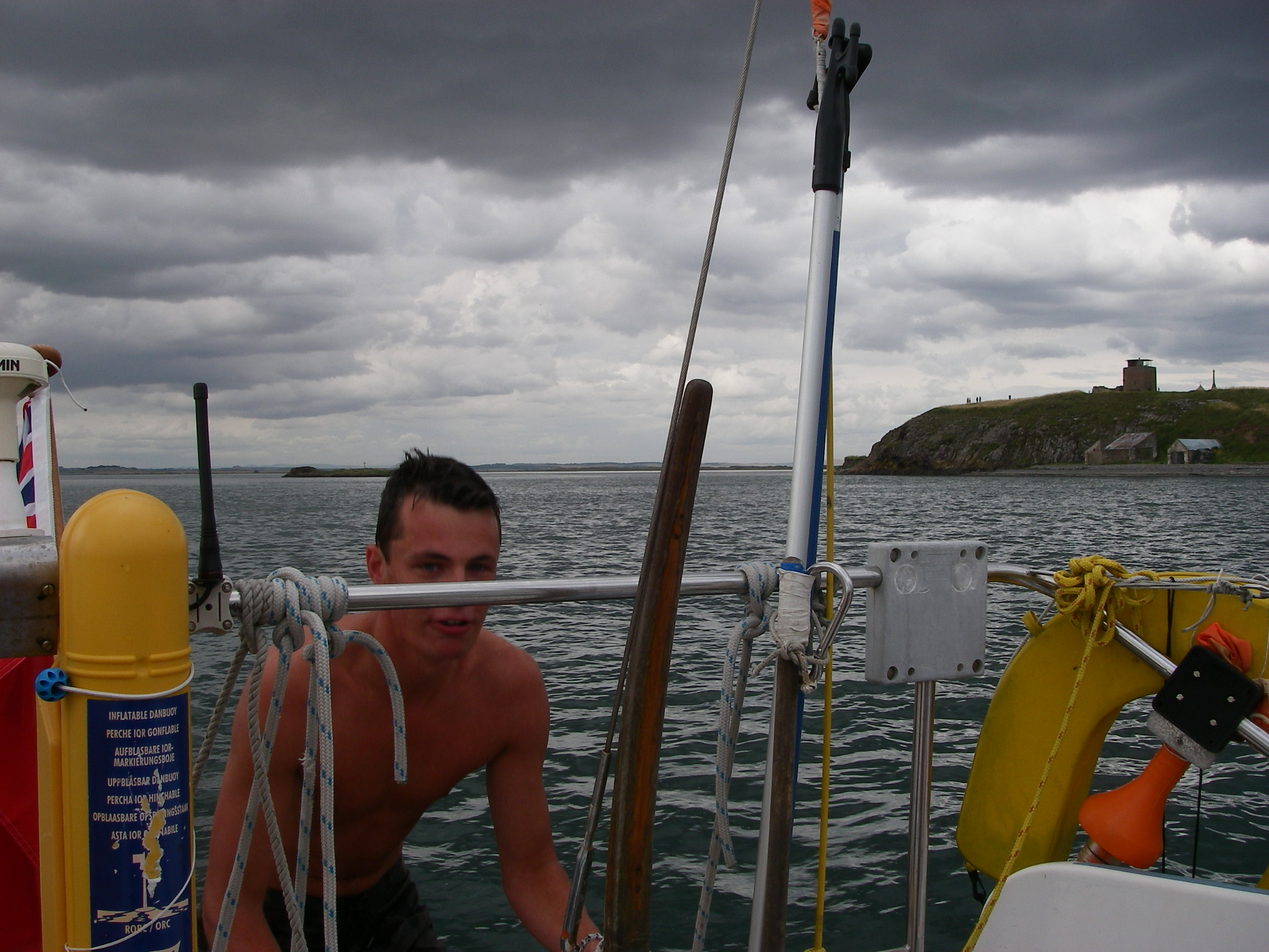
It was overcast and chilly while we were there but that did not stop Jamie braving the water to get some exercise.
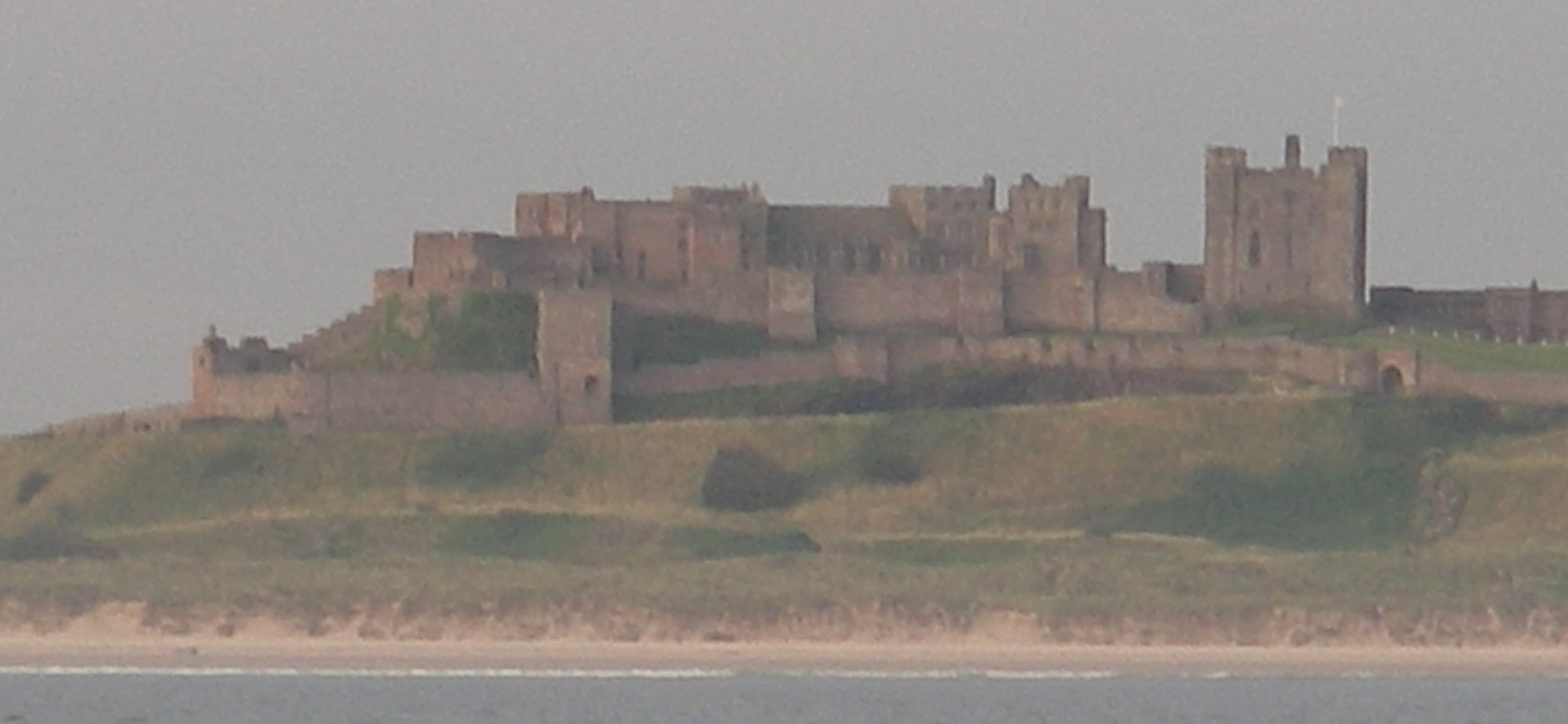
Holy Island was another place we had to drag ourselves away from, for very different reasons from Edinburgh. We headed for Blyth, to drop Jamie off because his week was up, but because it was a settled day we were able to stop for lunch anchored at the Farne Islands, now very much protected for their wildlife. Further down the coast we passed the magnificent Bambergh Castle.
Blyth itself, a coal port, was a depressed looking town, though it had a hospitable yacht club in an old wooden lightship in the marina.
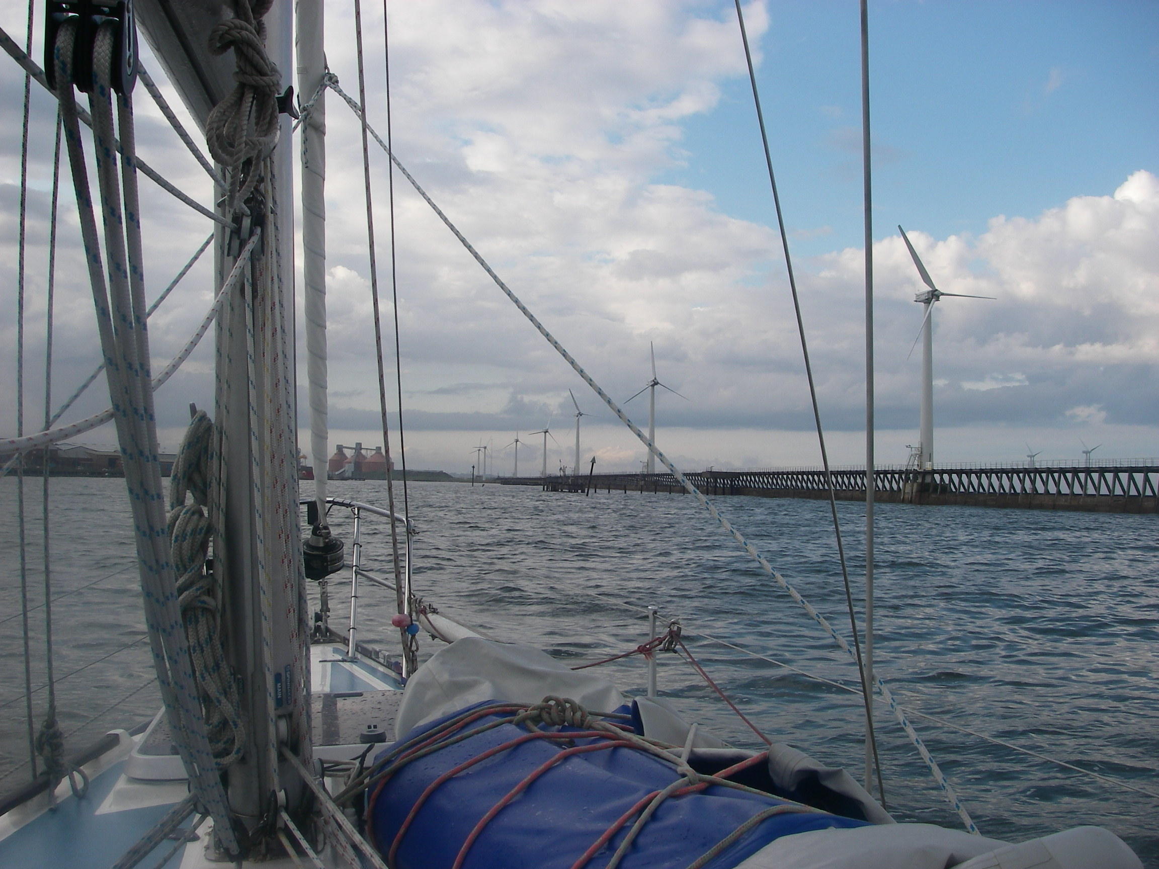
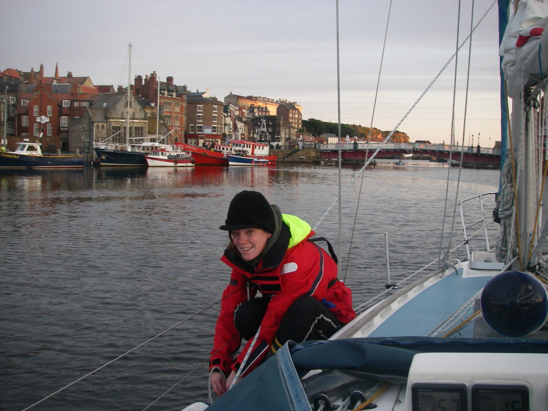
I stayed long enough to provision the boat and help Jamie find the transport links, and then set off south on my own for Whitby on a day with light winds but some ferocious showers.
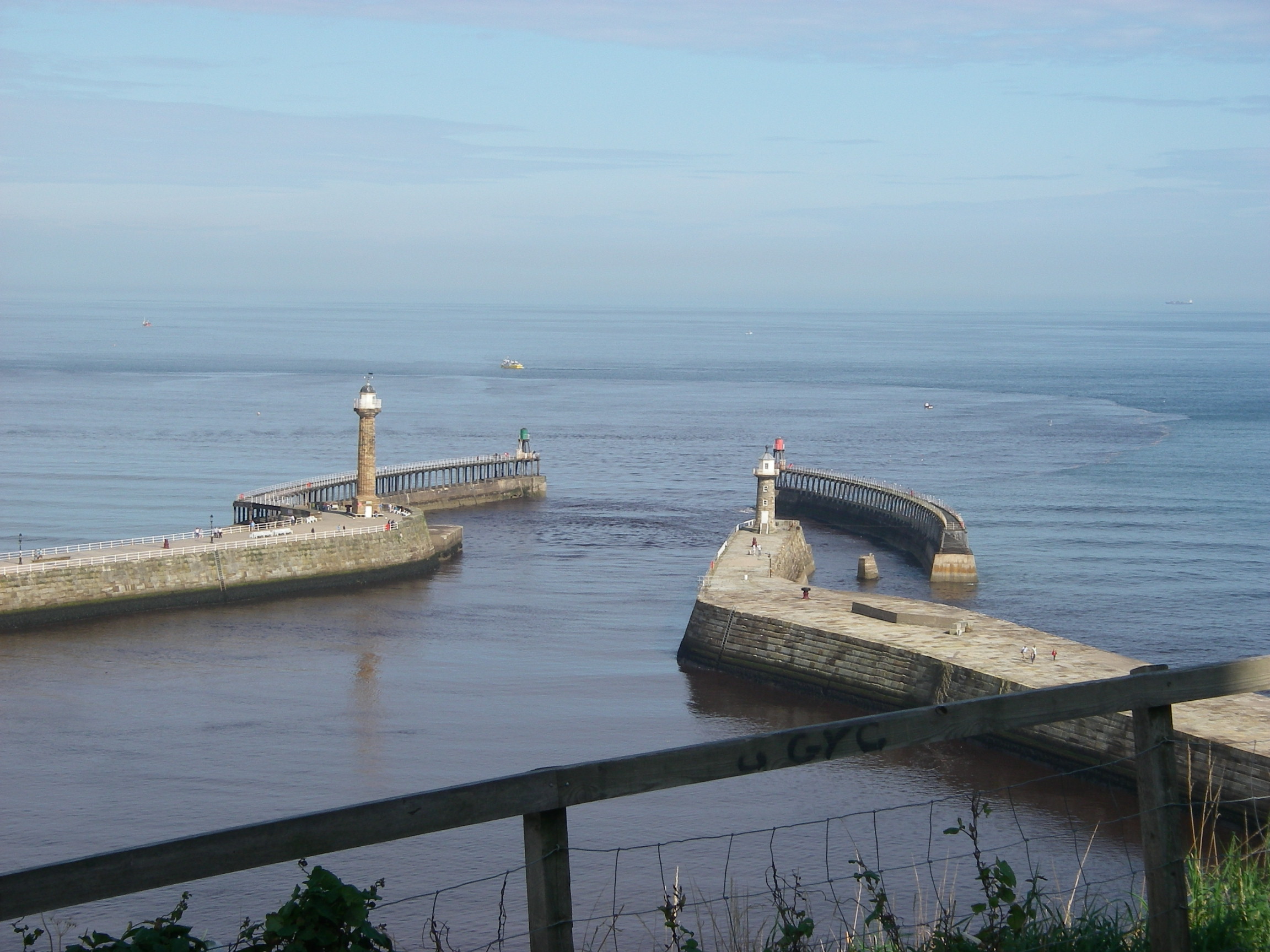
I arrived in a cloudburst. The approach requires care because the flood tide races over a reef which extends to sea just south of the harbour and is visible only from the overfalls; it is easy to be drawn towards it. Once in, the bad visibility made it difficult to see the way up the harbour, where I pottered around waiting for the bridge to open to let me through to the marina in the inner harbour. Georgia arrived by train to Scarborough and then a bus to Whitby.
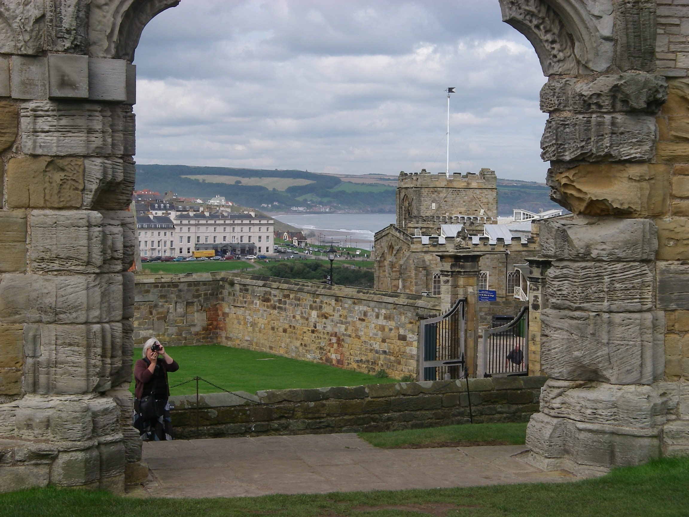
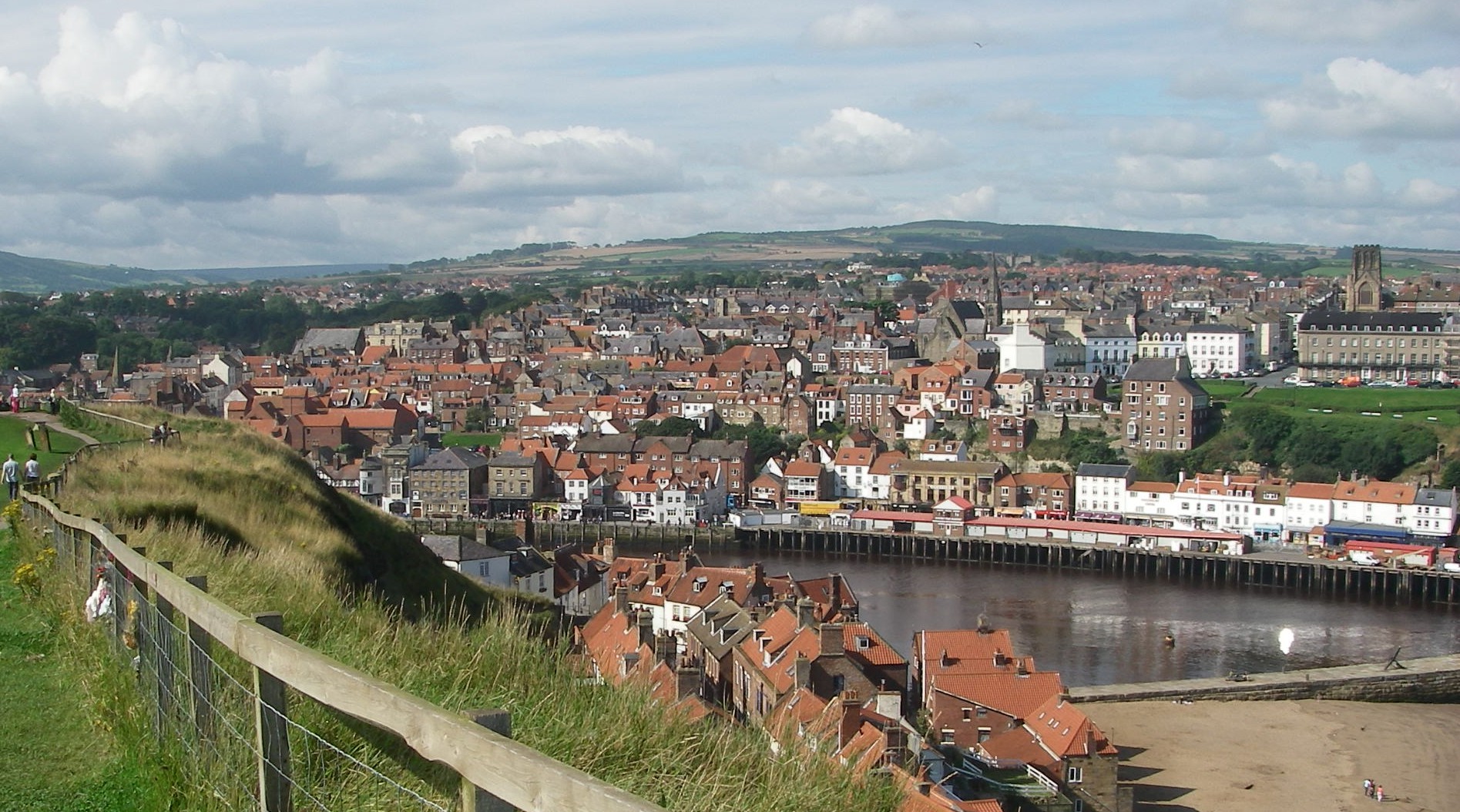

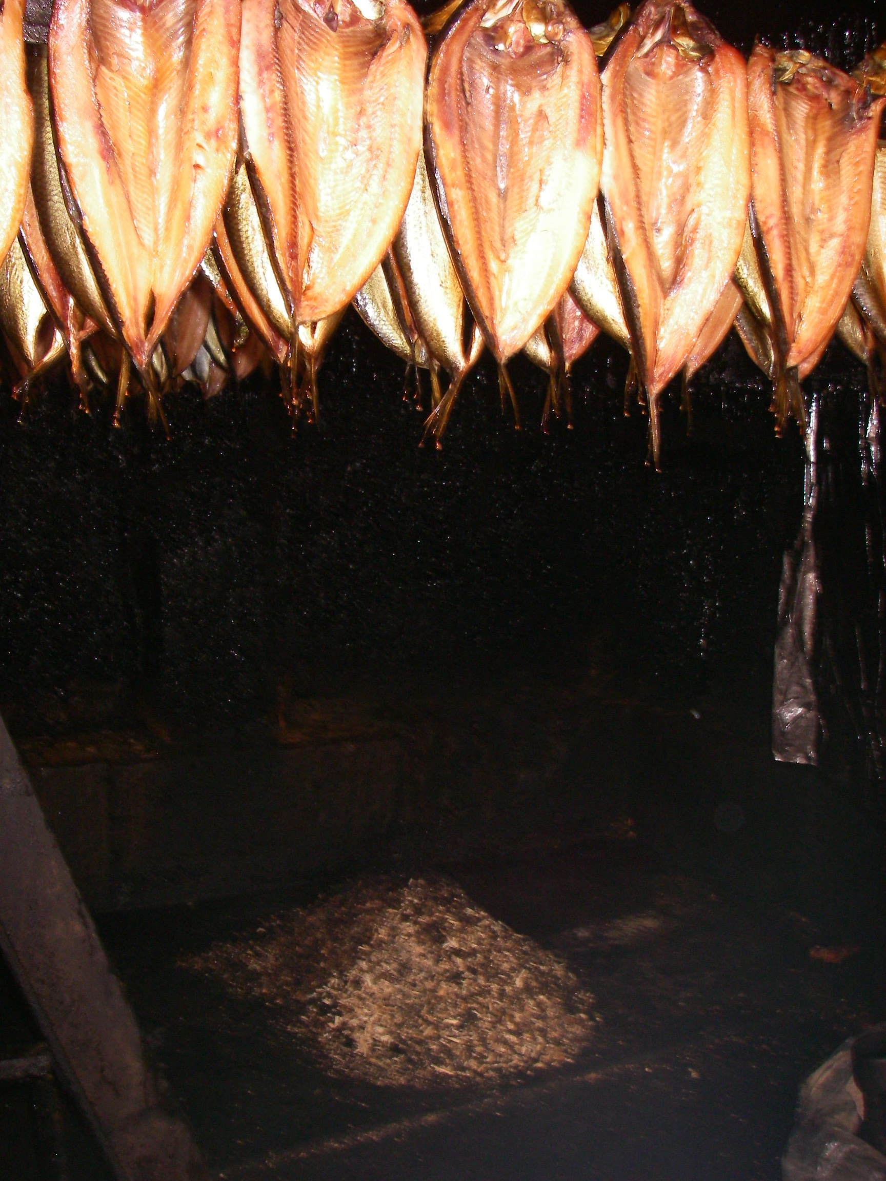
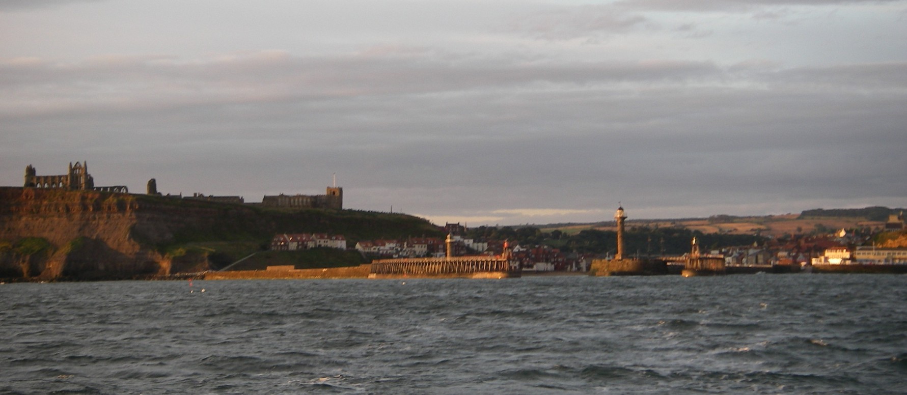
There was much to see, including the Abbey and the old parts of town, fish restaurants, Fortune’s kipper smokery and a railway with steam trains. When I arrived, the inner harbour was filled with the sound of a folk band, part of an annual Whitby festival.
Georgia and I left early on a clear, calm morning for the Humber, catching the earliest morning opening of the road bridge.
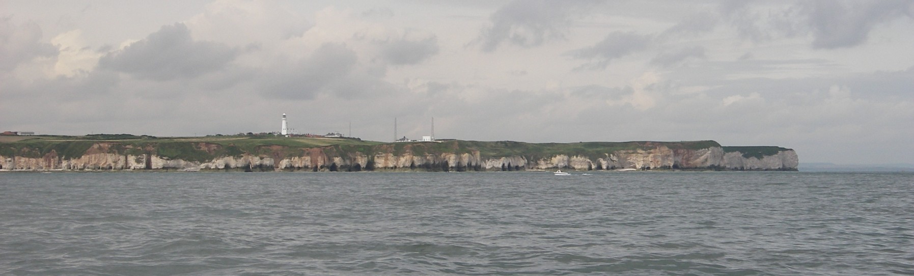
We sailed past Scarborough and Flamborough Head in clear weather with a pleasant breeze, arriving at the Humber Estuary where we checked in with the vessel traffic scheme ahead of our crossing to Grimsby. The engine chose that moment to overheat, probably because we were going over a bank in a strong tide, with sand churning to the surface of the water and blocking the water pump.
We switched off, but with a line of ships entering the Humber we could not cross without the engine. After waiting for it to cool we risked switching on again, got radio permission to cross, then once over we switched off and sailed towards the entrance to Grimsby’s old fish docks, now deserted except for a marina and a handful of working boats. With the wind dropping, a RoRo ship heading for the commercial dock entrance a few hundred metres west of the fish docks crept perilously close, so in the gathering dusk we risked the engine again and scooted into the harbour and the semi-derelict inner dock, with its marina. After berthing temporarily to ask where to stay, there was another problem: the starter motor seized. Thank heavens it had waited until we were in. We had to have it replaced before we could leave again as well, of course, as clearing the mess out of the engine water pump.
The grim-looking dock sheltered an excellent and very friendly yacht club which happened to be holding a dinner to which we were warmly invited. Meanwhile the weather was rapidly deteriorating and it looked as if it was going to be bad for days, so I decided to leave the boat there and go back to London with Georgia.
I returned a fortnight later with Tony, and we set off down the Humber heading for Lowestoft – or rather Wells Next the Sea, where I had booked a rare deep water berth alongside a barge in the shallow harbour. When I rang him a few days before, the harbourmaster offered to come out to meet us at the bar. But the wind turned into the North and went up to a 5 or 6 as we approached, which makes the entrance to Wells a risky for a newcomer, so we headed straight for Lowestoft and into the yacht club basin, where we dined at the club.
Next day we set off past the familiar Suffolk coast, staying close inshore at Southwold, Aldburgh, Orfordness and Woodbridge Haven, the estuary of the River Deben, then crossing the shipping lane at Harwich and over to the Pye End buoy, marking the start of the channel up to the Walton Backwaters. We left in 2007 from Shotley in Suffolk, on the River Stour, a few miles north west of Walton, but I decided to winter at Titchmarsh Marina at Walton on the Naze in Essex, partly – it has to be said – because it is quite a lot cheaper.

That was the end of a round Britain cruise that beat no records for speed or adventure but took us to a large number of fascinating places, and gave us a new perspective on our island. It went so well that Tony and I decided to go into partnership on a bigger boat, Spring Fever, so Pepper of Brixham went on the market that autumn.
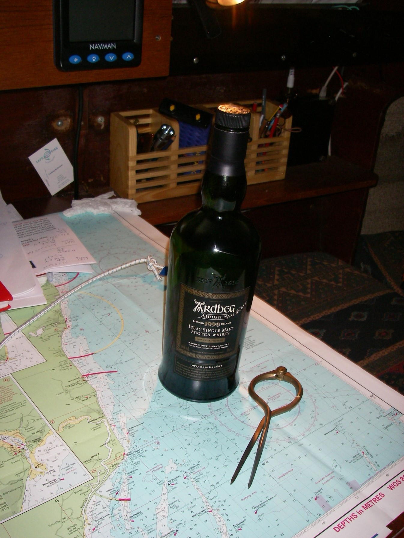
But before we got round to that, there was some celebrating to be done, helped by the bottle of Islay malt whisky we brought back from Scotland..

One thought on “Round Britain 2007-2008: Oban, Orkneys, Lindisfarne, Walton”