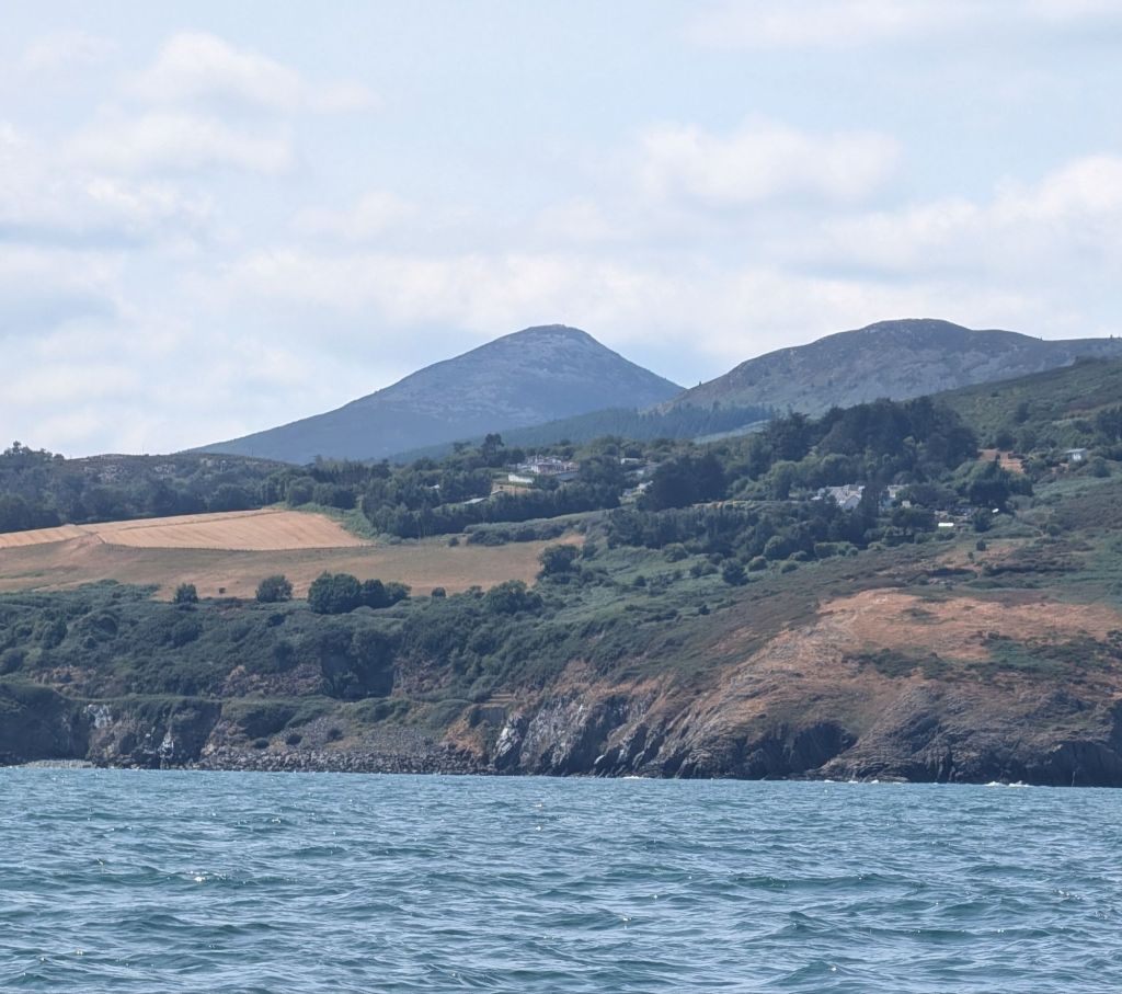
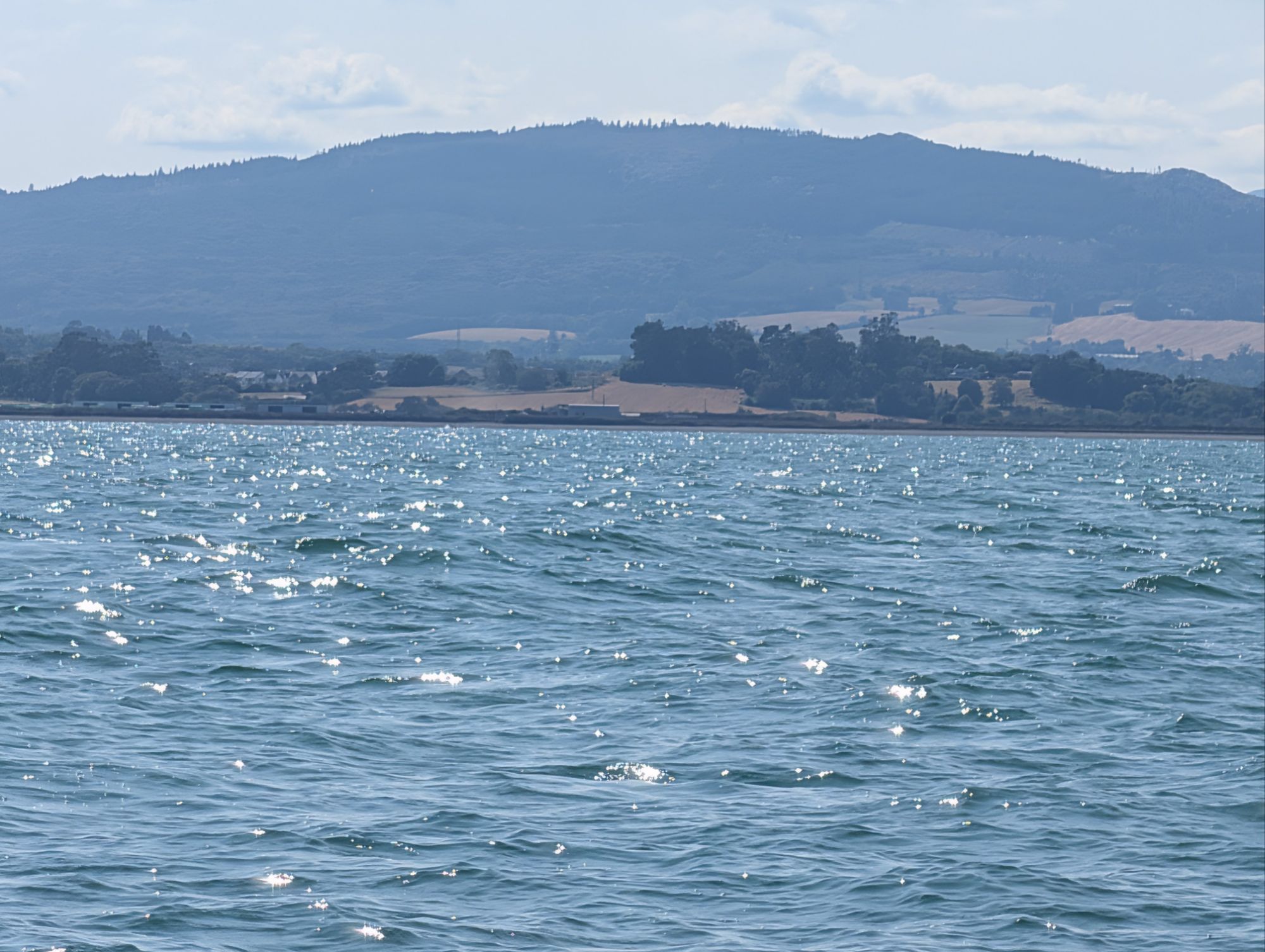
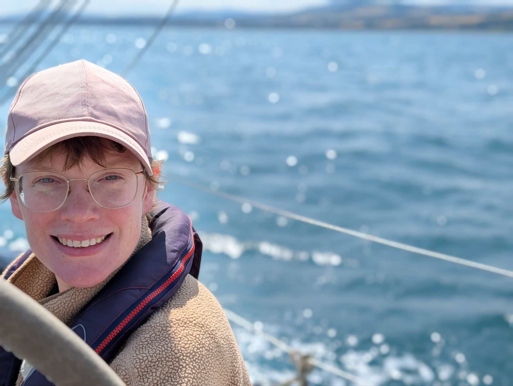
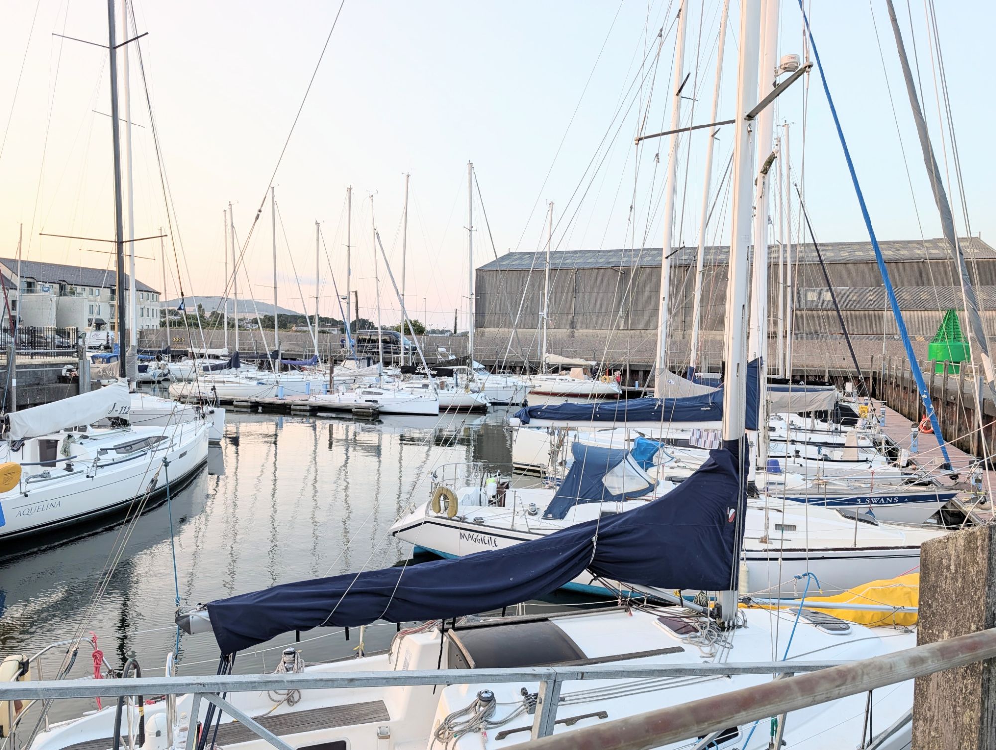
Homeward bound – Helford to Chichester

From Helford we sailed straight to Plymouth, to see Tony F, who crewed for us from Ipswich to the Hebrides via Orkney two years ago, and his wife Potter.

The wind was a gentle south-westerly, and we motored and then sailed the 45 miles from Helford. Tony and Potter invited us for an evening barbecue in the garden as well as a comfortable night’s stay in their lovely home, a great treat after so long in a cramped boat.

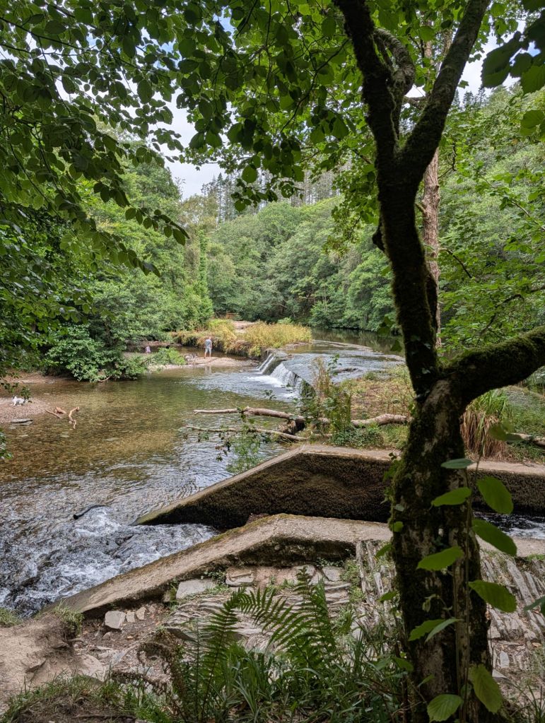
The next day we walked the dogs in Plymbridge Woods along the River Plym, before going back to the boat to refuel and restock ready for the last part of our cruise round Britain.

Another sort of water sport – one of Tony’s gun dogs, practising with a stick instead of a duck.

From Cornwall, we were already on a home run, which we’ve done many times before from the West Country. In this part of the English Channel I measure the distance in headlands rather than sea miles.

The big headlands behave like tidal gates, magnifying the speed of the tide as the water pushes past. The gates almost shut when there’s a strong tide flowing against the boat’s direction, cutting most sailing boats’ speed over the ground to two or three knots, whatever they are making through the moving water.

That means spending a good part of a 6 hour tide watching the headland creep past excruciatingly slowly. Catch the tide going the other way and it rushes by. Much of a passage is about getting the timing of the headland right, but that often means missing the tide at the next one.

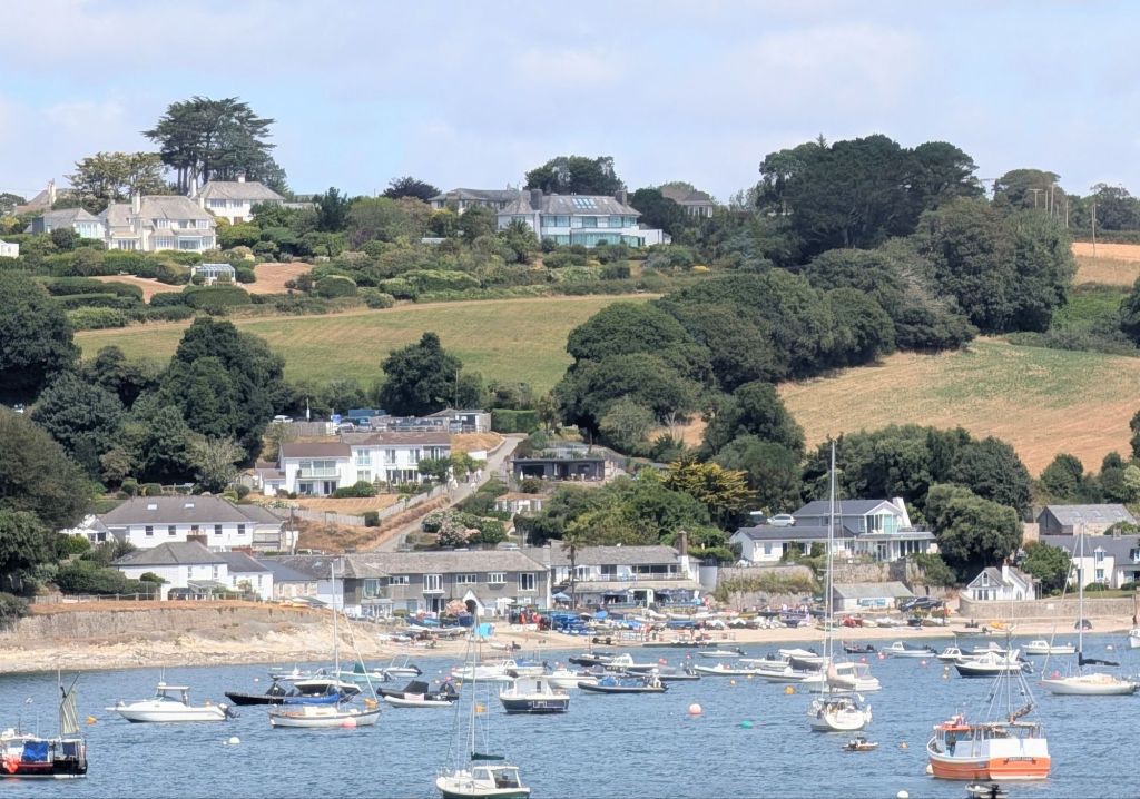
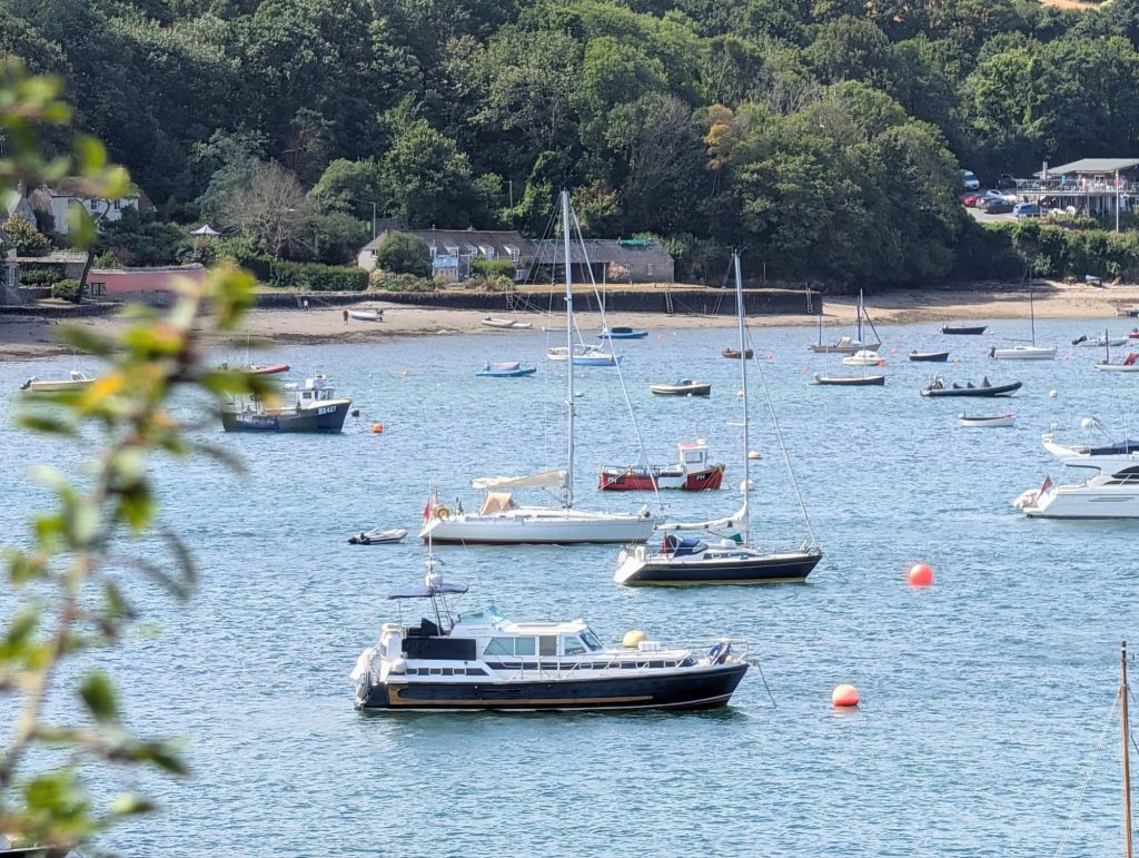
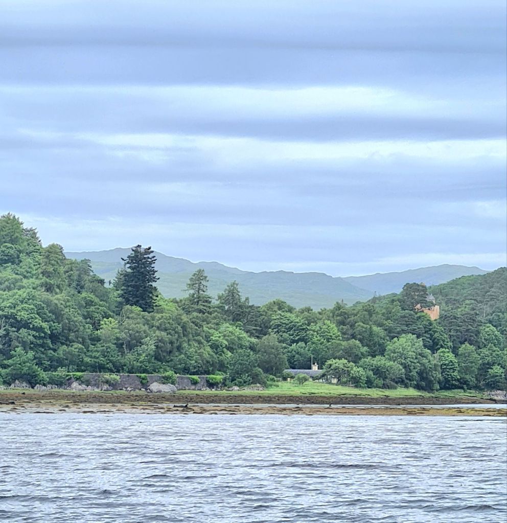
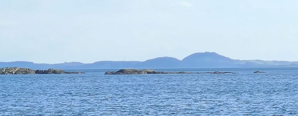
The river entrance, seen as we leave Helford
St Mawes and the St Anthony lighthouse
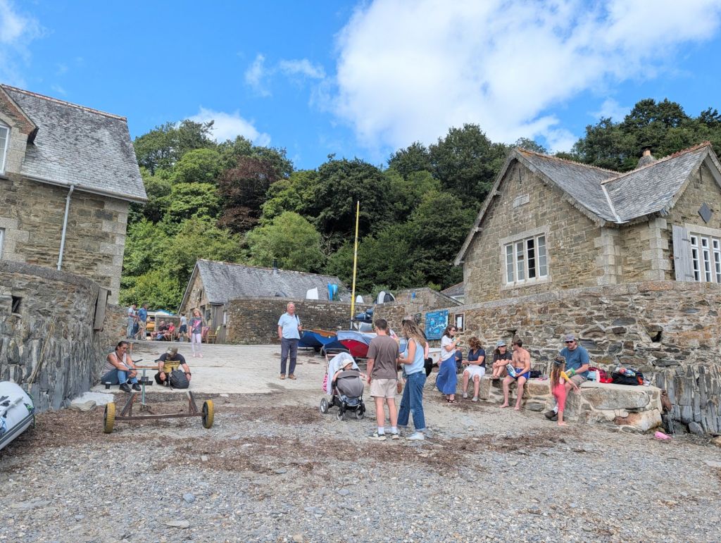
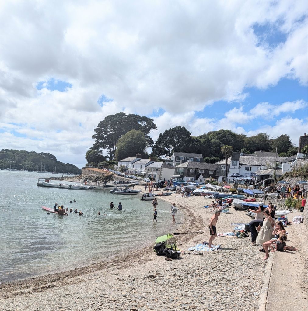
Towan beach – we rented a holiday cabin three years running just over the hill, by the woods, with Kehaar, our boat then, kept on a mooring at St Mawes
The first boat we passed on entering Plymouth’s Queen Anne’s Battery marina was a Hurley 30, the same as Kehaar, which we bought in 1992. They were built in Plymouth.
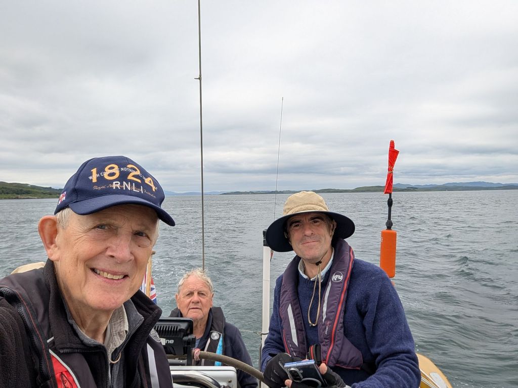
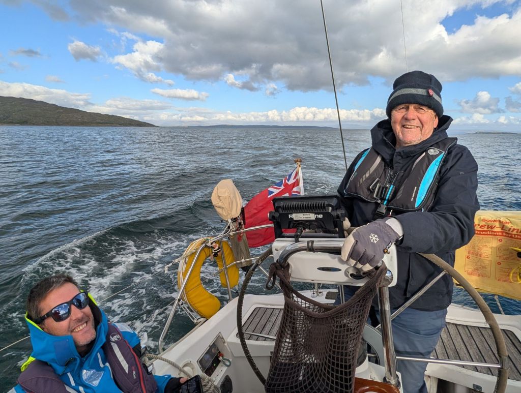
Tony steering in cheerful mood as we left Plymouth, the old quarter of the Barbican over his left shoulder and the Hoe the other side
Salcombe glimpsed as we pass the entrance.

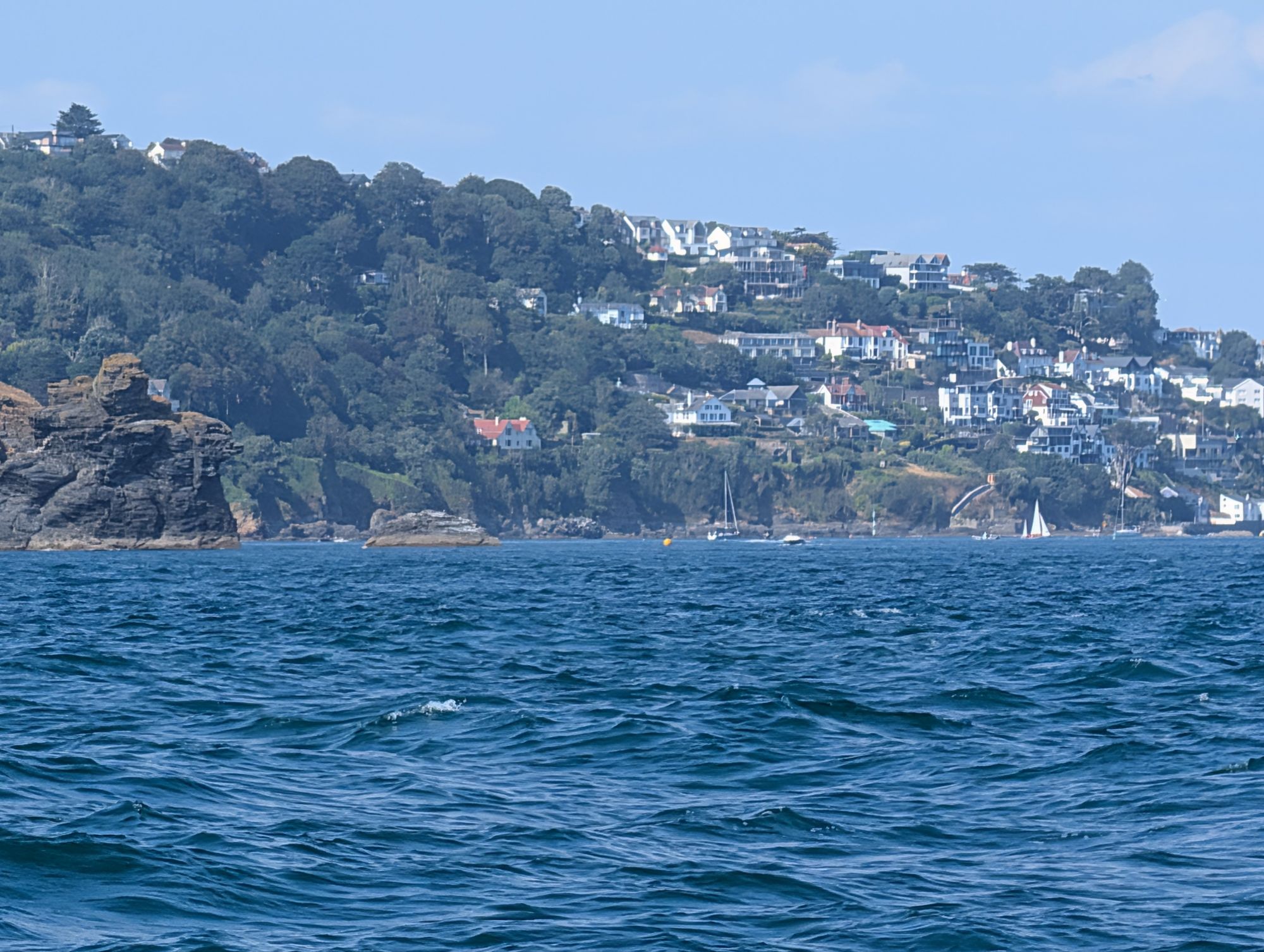
In pleasant light winds we sailed east past Salcombe, which we try to avoid on passage because the harbour charges boats a handsome amount for using their own anchor in the estuary.

There’s a free anchorage in settled westerly winds in Starehole Bay, just outside the harbour entrance. The wreck of the German four-masted barque Herzogin Cecilie, which went aground in 1936, is still just visible underwater, though not nearly as prominent as it once was. Best not to anchor too near it. However, we were heading for Brixham, so had no need of a rest stop this time.

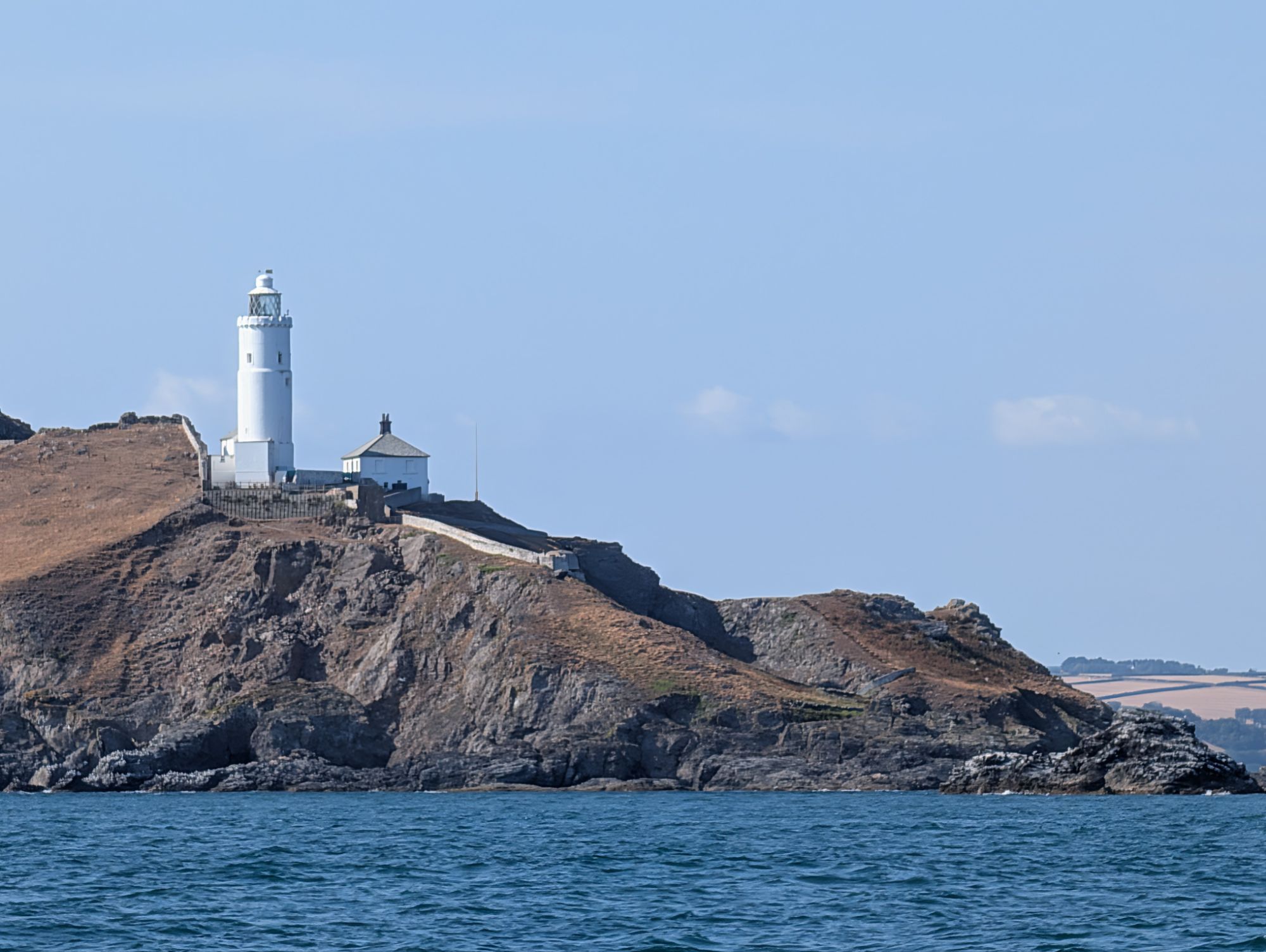
Start Point. The tide race was tame in this weather

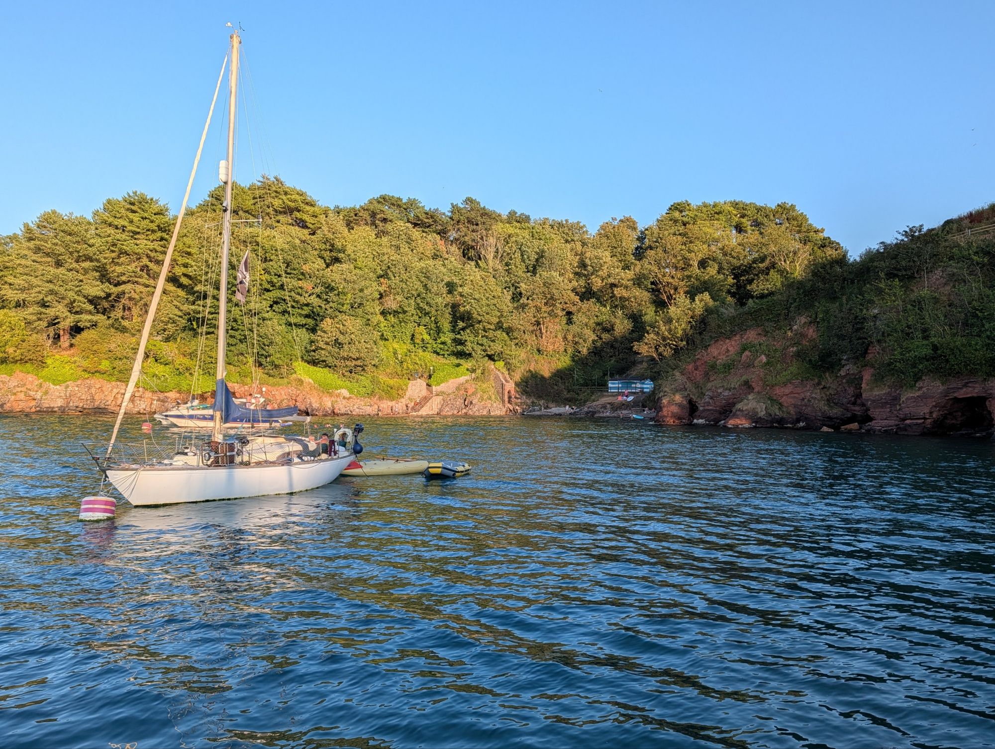
At Start Point we timed our arrival for the east-going tide, sailed fast on a broad reach past Dartmouth, and rounded Berry Head at the entrance to Tor Bay, heading for Fishcombe Cove. This is tucked away immediately next to Brixham Harbour and its expensive marina.

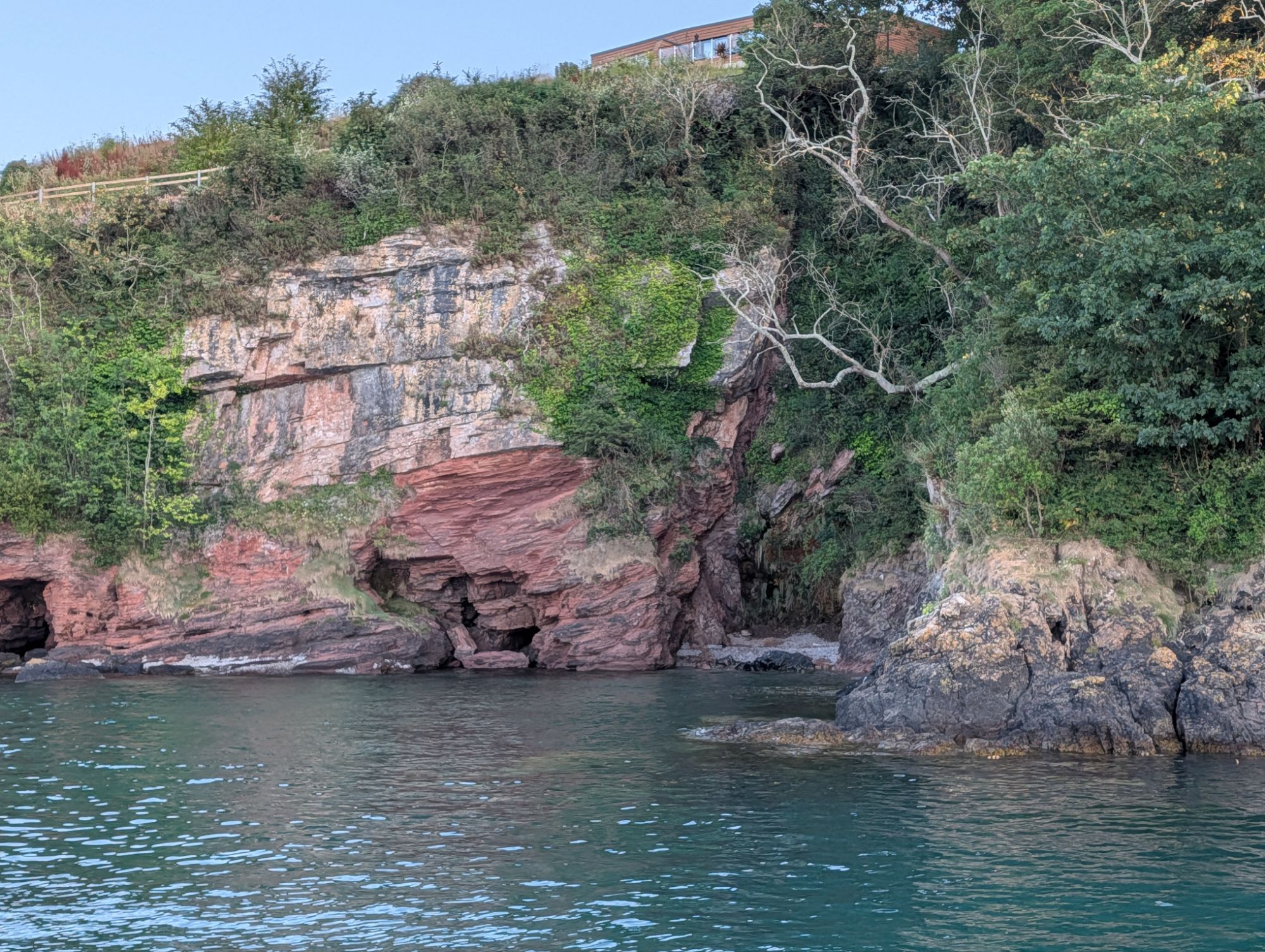
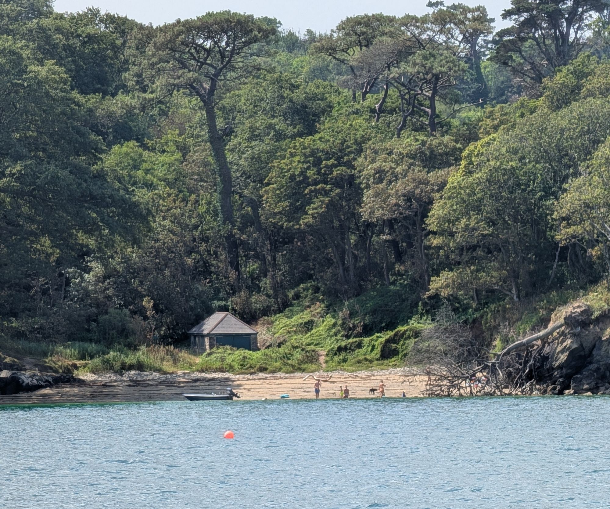
The cove is small and has three eco-moorings designed to protect the seagrass bed. By day they seemed to be occupied by family boats, there for the swimming and paddle boarding (plus some noisy jet skis). We waited an hour for the parents on a big motorboat to haul their smaller children back on board and head home escorted by their teenagers on jet skis, then picked up the mooring for a pleasant night, with two other sailing boats, close to the tree-covered cliffs.

Next day we set out early on the 80 mile passage to Yarmouth, with timing dominated by the need to catch the tide up past the Needles into the Solent, which is much too fast to sail against.

That meant we had to accept a contrary tide as we passed south of Portland Bill and the Portland Race, where we were making 2.5 knots over the ground but 5.5 through the water in a pleasantly refreshing breeze.

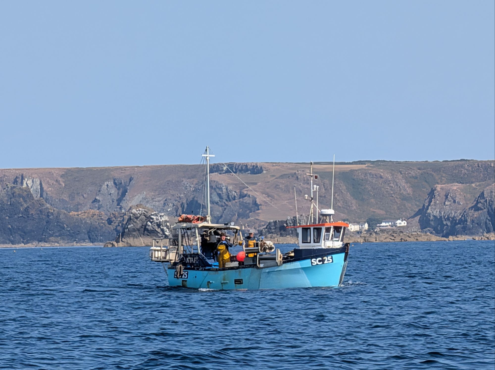
A trawler in Lyme Bay
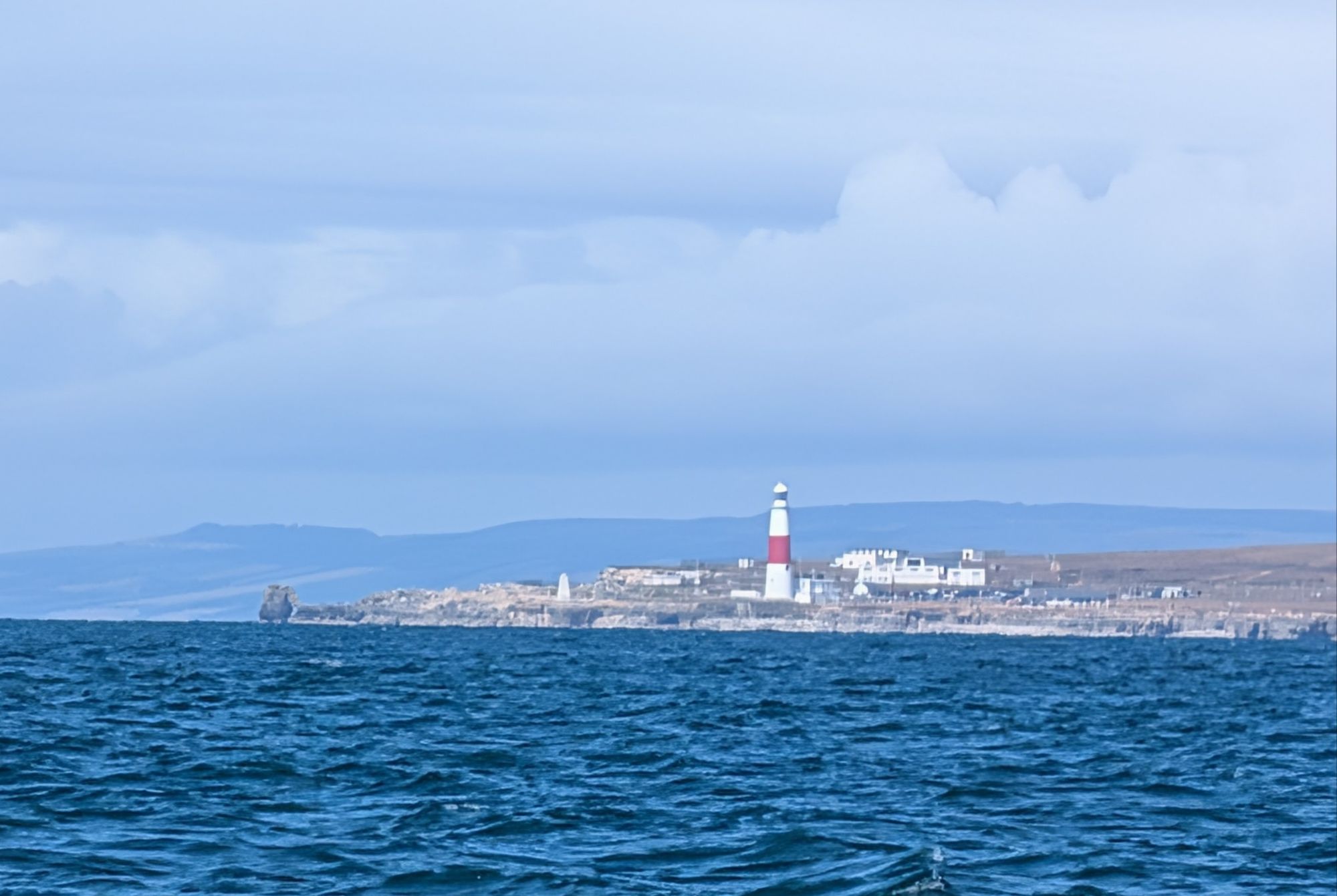
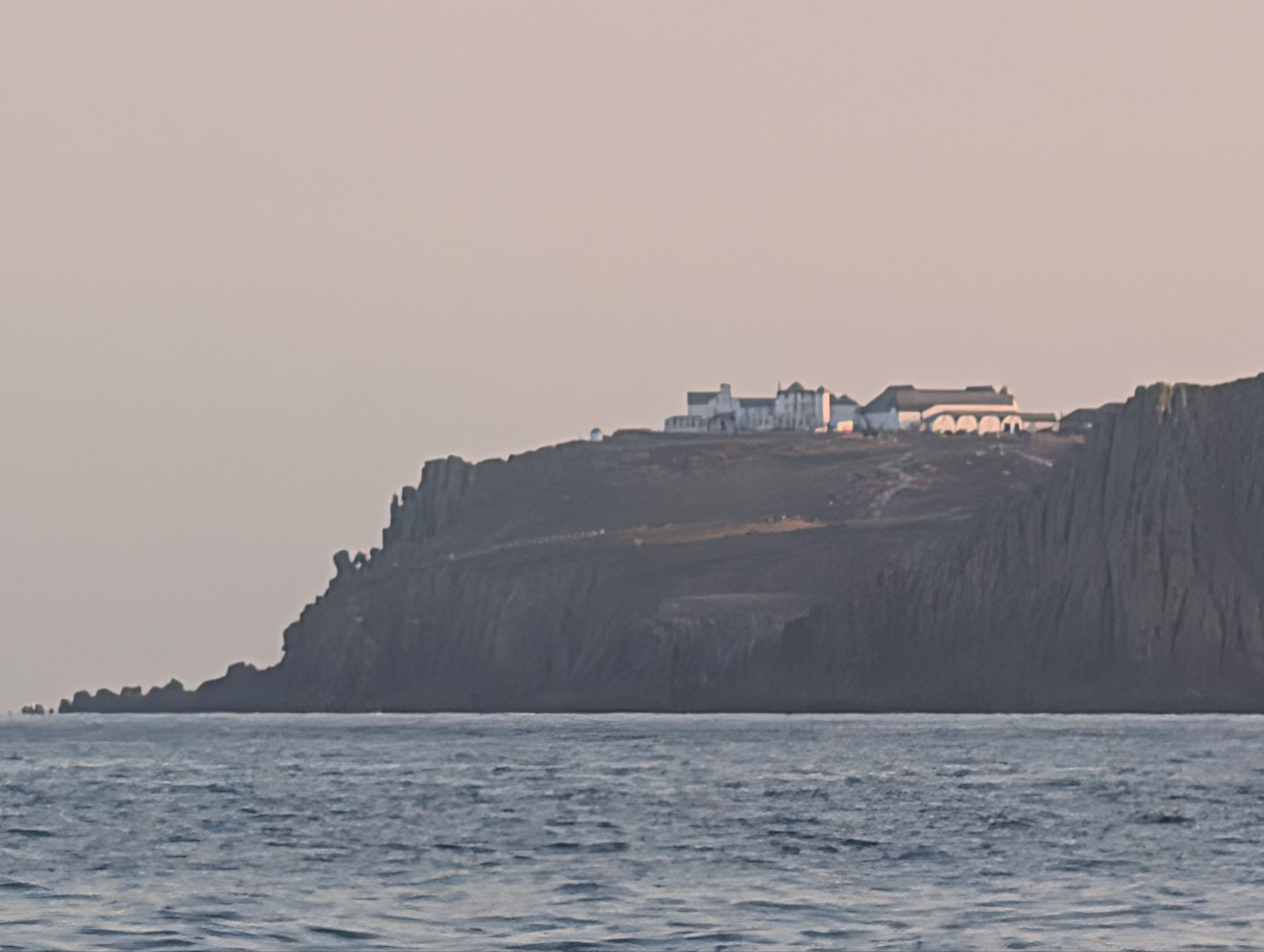
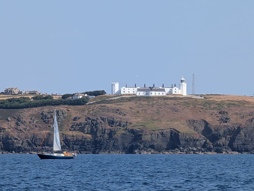
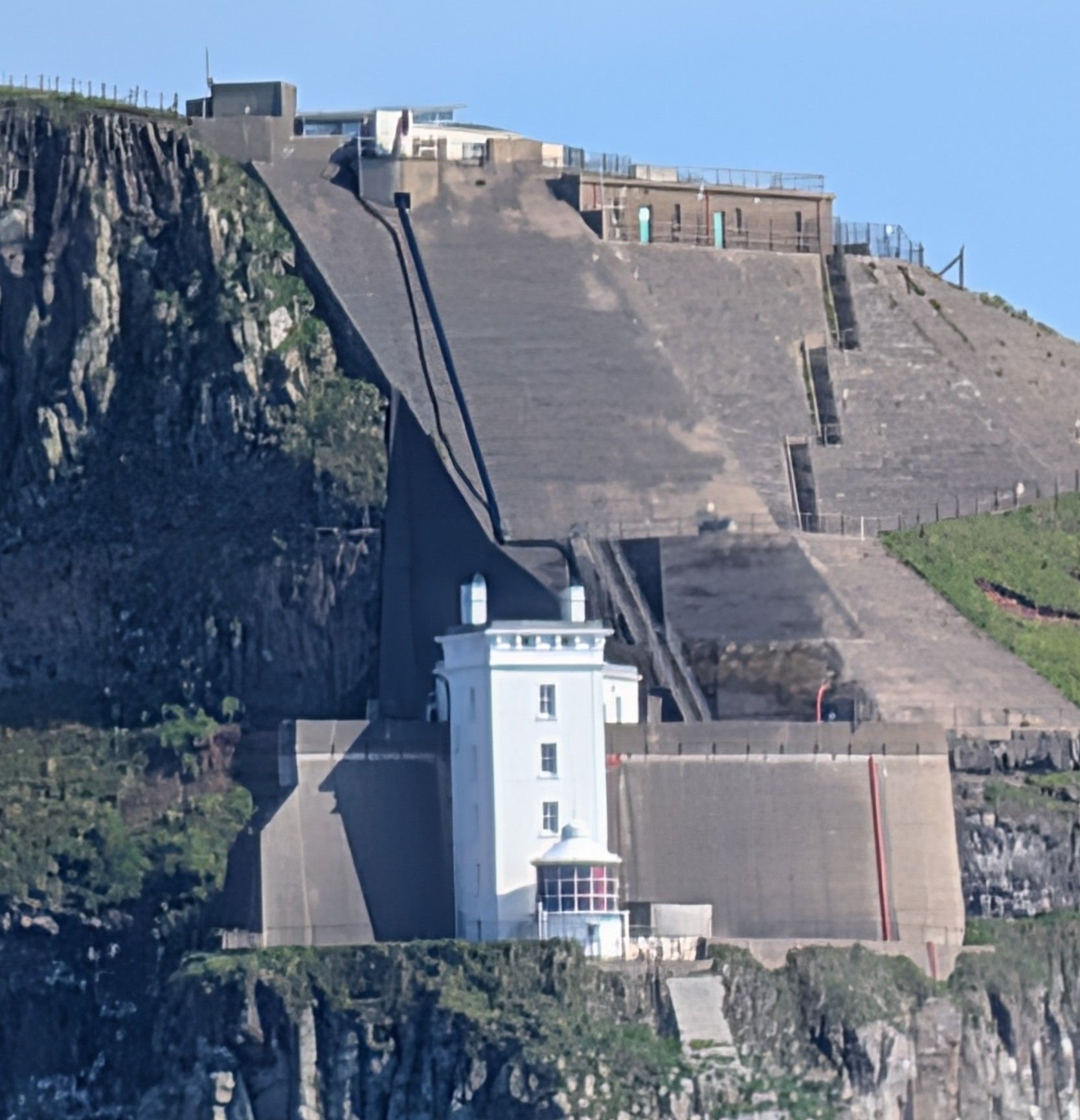
The lighthouse on Portland Bill: we were actually 5 miles away and this picture was putting my new phone’s camera to the test.

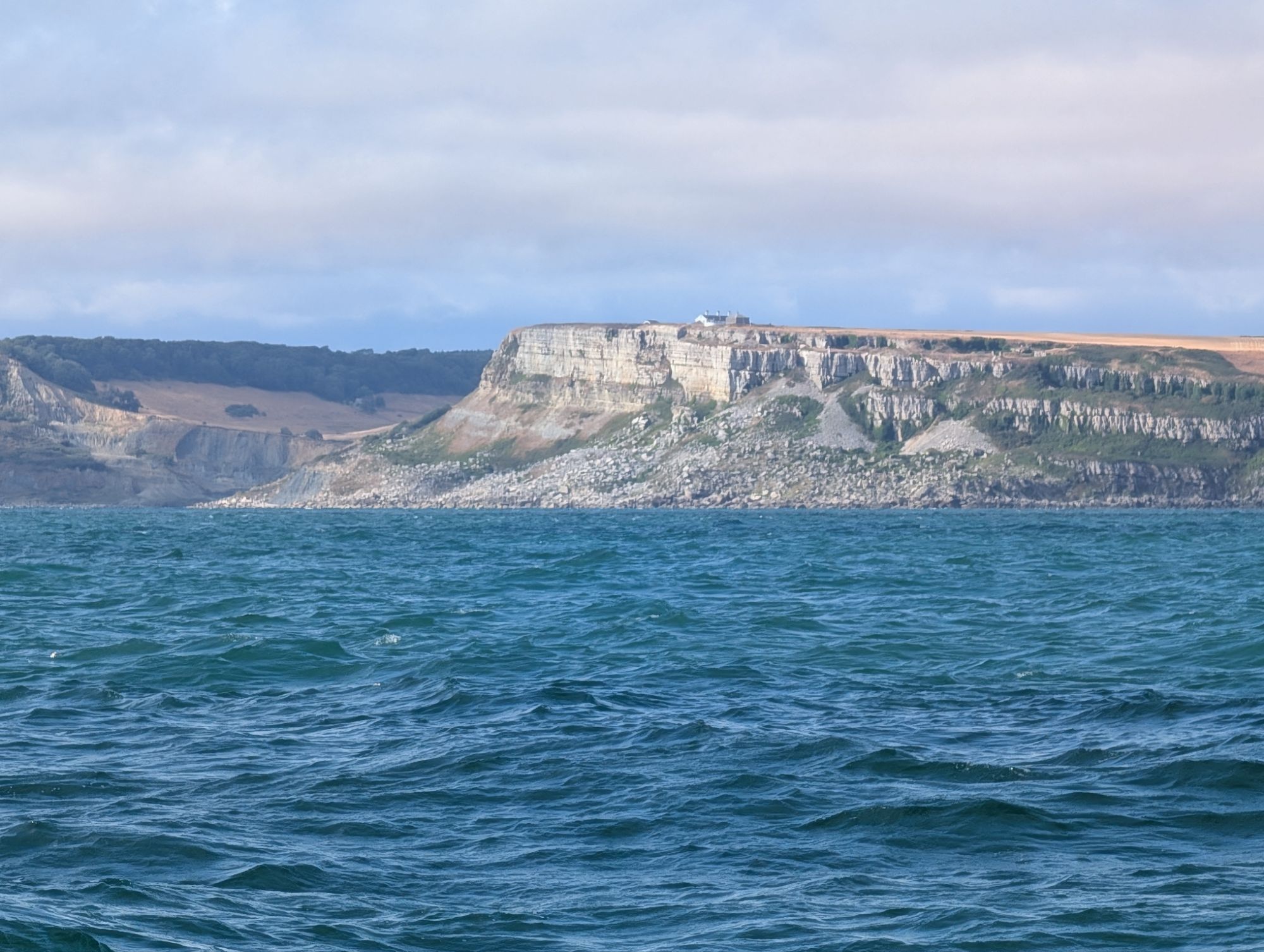
The timings worked in our favour again when the tide turned before we reached the next tide race off St Alban’s Head in Dorset, which runs fast over a rock ledge that goes 3 miles out to sea. Even in calm weather it is worth avoiding the race, by going inside a few hundred meters from the shore, or more than 3 miles out, which was where our direct course took us anyway.

St Alban’s Head
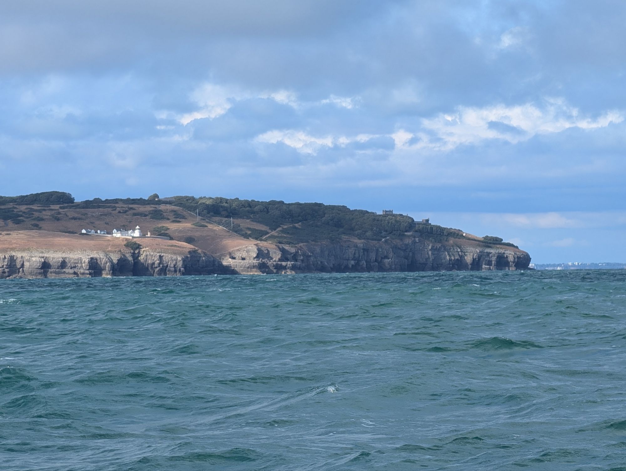
Anvil Point

Next we passed Anvil Point, a less significant race a few miles south of Poole and Bournemouth, before crossing Christchurch Bay to the Needles Channel at 6 or 7 knots, sailing in a freshening breeze.

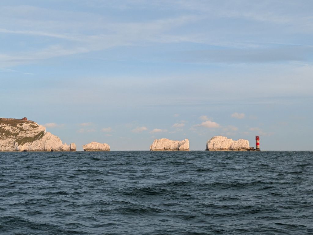
The channel up past the Needles was rough, even though the wind was going with the ferocious spring tide. But we were finally back on home ground and about to enter the Solent.

Once past the Needles, all was calm again

We stopped for the night on a buoy outside Yarmouth Harbour, because we were planning next day to visit Jenny, an old friend who is a retired designer of theatre and opera sets, gardens and most recently houses.

Next day, we headed into the crowded (and expensive) Yarmouth marina as soon as the harbour master said a space had been cleared by a departing yacht, and were picked up to drive to Freshwater by Sarah, a friend of Jenny’s.

Jenny lives in a beautiful house and garden at Freshwater, where she supervised the building project as well as designing the building and garden. Over dinner, Jenny brought out a bottle of delicious champagne bought years ago by her late husband, Tim, a rare treat.

Early on the Saturday morning, we caught the fierce spring tide eastwards through the Solent, and finally crossed our own track out from Cowes more than two years ago, when we started our third round Britain cruise up the East Coast to the Orkneys, past Cape Wrath and down to the Hebrides.

Cowes, where we set out in 2024
We arrived at the beginning of Cowes Week. This is  THV Patricia, the Trinity House flagship, which hosts regatta events. Behind is a small naval guard ship, another traditional presence
Osbourne House, home of Queen Victoria

This time we were moving our base from Cowes to Chichester – whether temporarily or permanently we are not sure yet – so we carried on down the familiar Solent, between the Forts guarding the entrance and Spithead, and into Chichester Harbour.

It’s 7 miles from the harbour entrance to Chichester Marina, where we left Spring Fever after passages from Kerrera totalling nearly 700 miles over three weeks.

I cannot remember any three week cruise with so little bad weather and with the wind direction so often in our favour. After three seasons sailing in stunningly beautiful Scotland, I also have to admit that I relished the way the temperature of both water and air seemed to climb with every mile we headed south.

All in all, it was a memorable cruise for those and many other reasons, and especially for the friends and family we saw on the way.

In another post later, I will look back on all three round Britain and Ireland cruises, which have taken place over seven sailing seasons since 2007.

Homeward bound – Helford

After four holidays in or near Helford and many visits on past cruises over the last 40 years, it was a nostalgic return to the river. Here are some pictures of a two day mini-break there before we went on to Plymouth.

We inflated the dinghy, quite hard work with the bigger, tougher one we bought specially for Scotland, and went ashore first on the Helford village side of the river. There’s a visitor pontoon, not cheap at £5 a day for a dinghy.

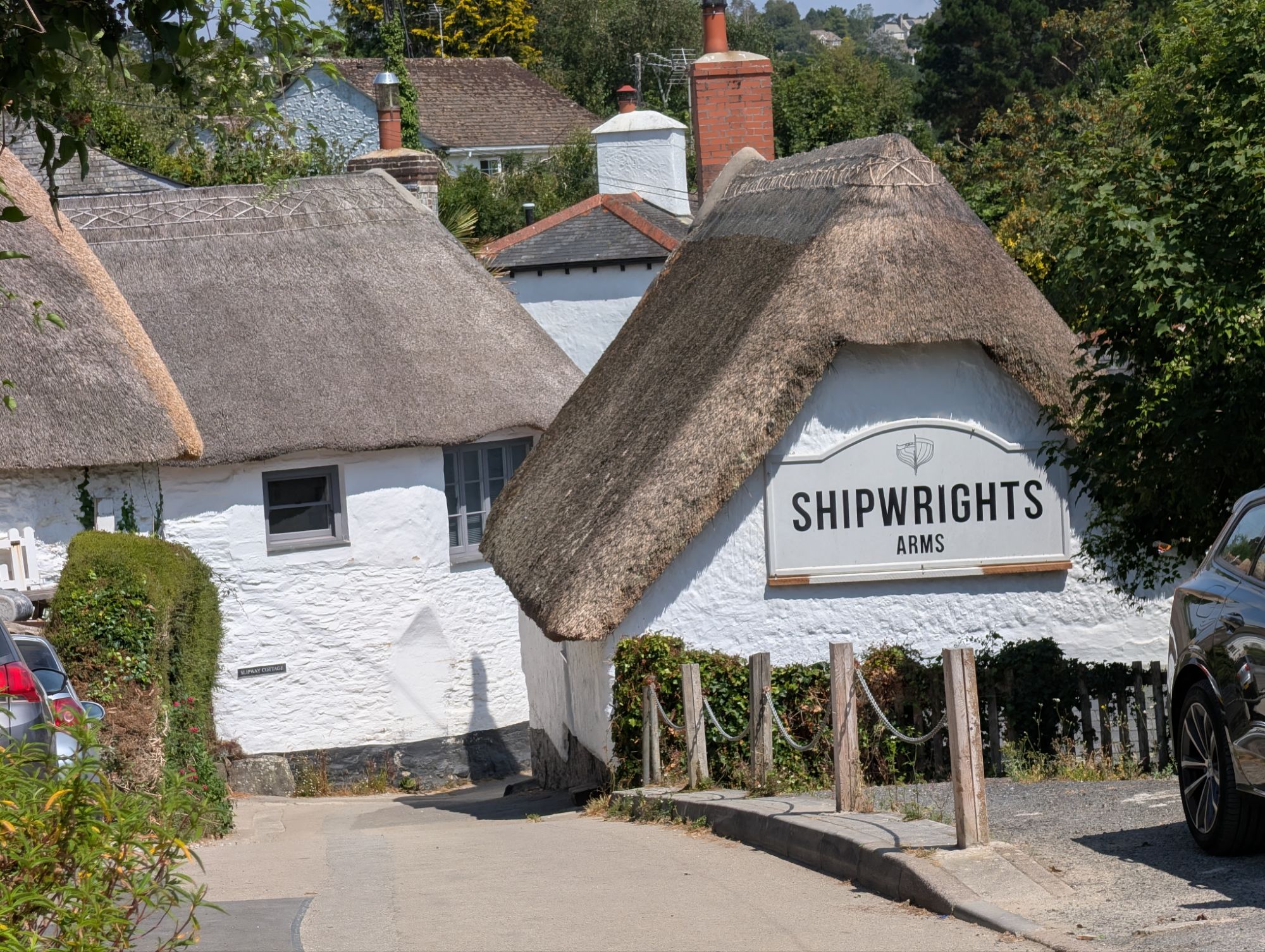
The Shipwrights Arms in Helford
Helford Passage, across the river from Helford. There’s a thousand-year-old ferry service between them.
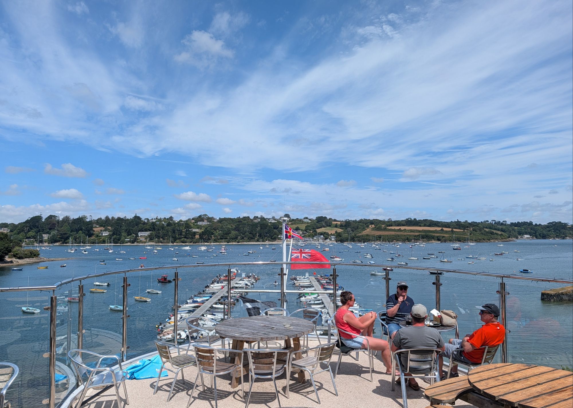
The Helford River Sailing Club has an excellent dining room, bar and terrace with a view to Helford Passage. They welcome visiting yacht crews, so we had drinks and dinner there.
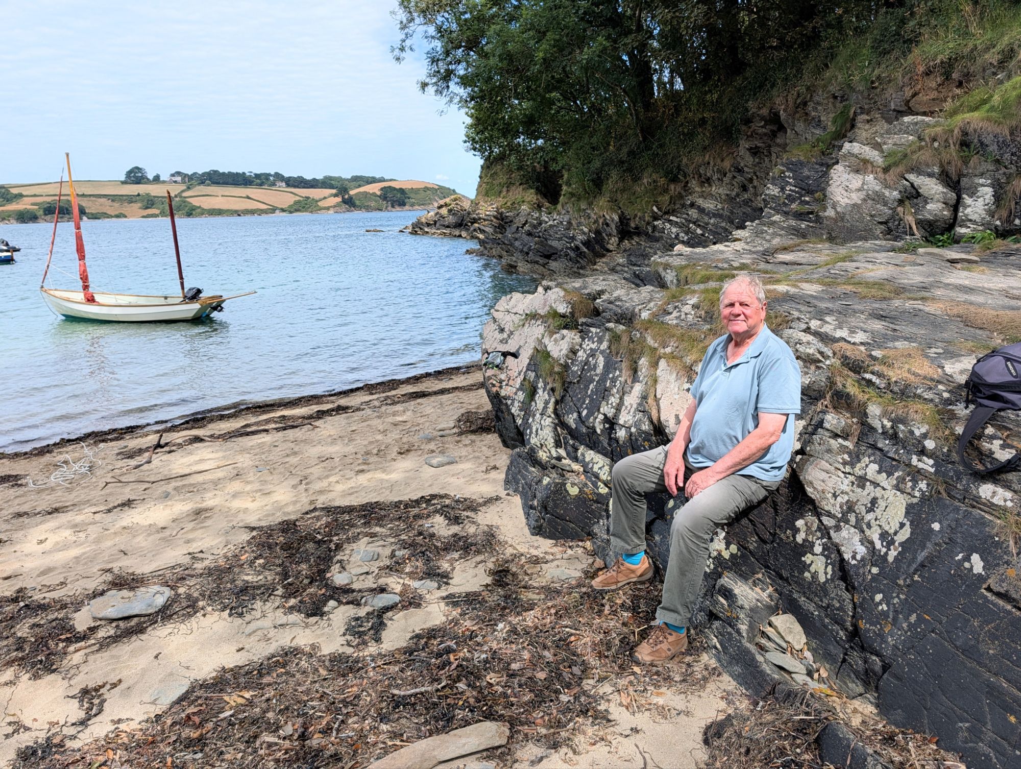
Tony in Bosahan Cove, where I had a delightful swim in water that the boat’s instruments said was 22 degrees. The Cove is on the recently finished King Charles National Coast Path
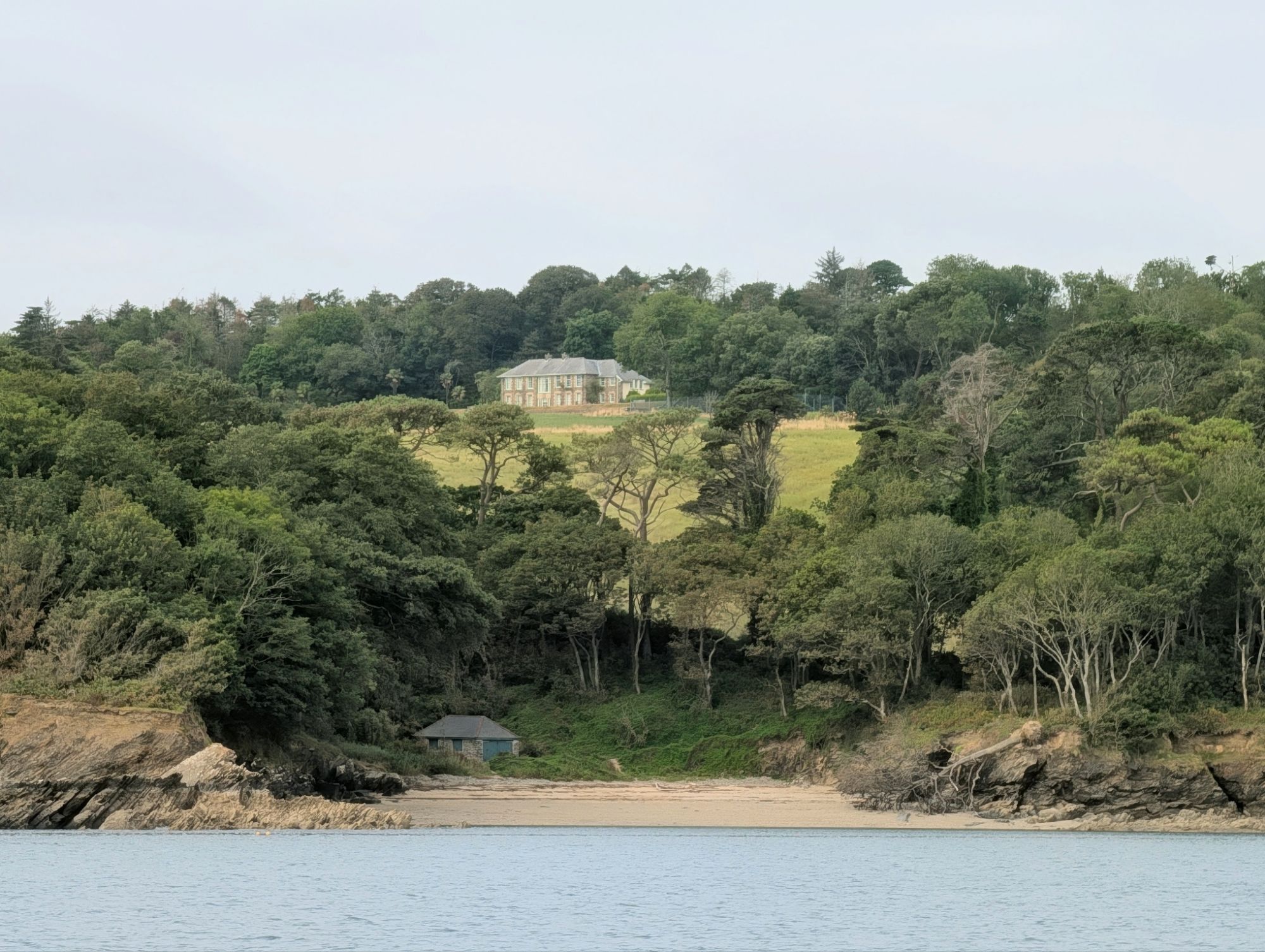
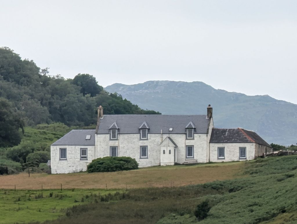
Bosahan House, overlooking the river
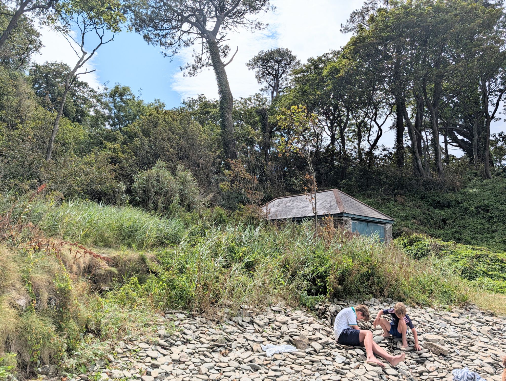
The path up to Bosahan starts by the boathouse 
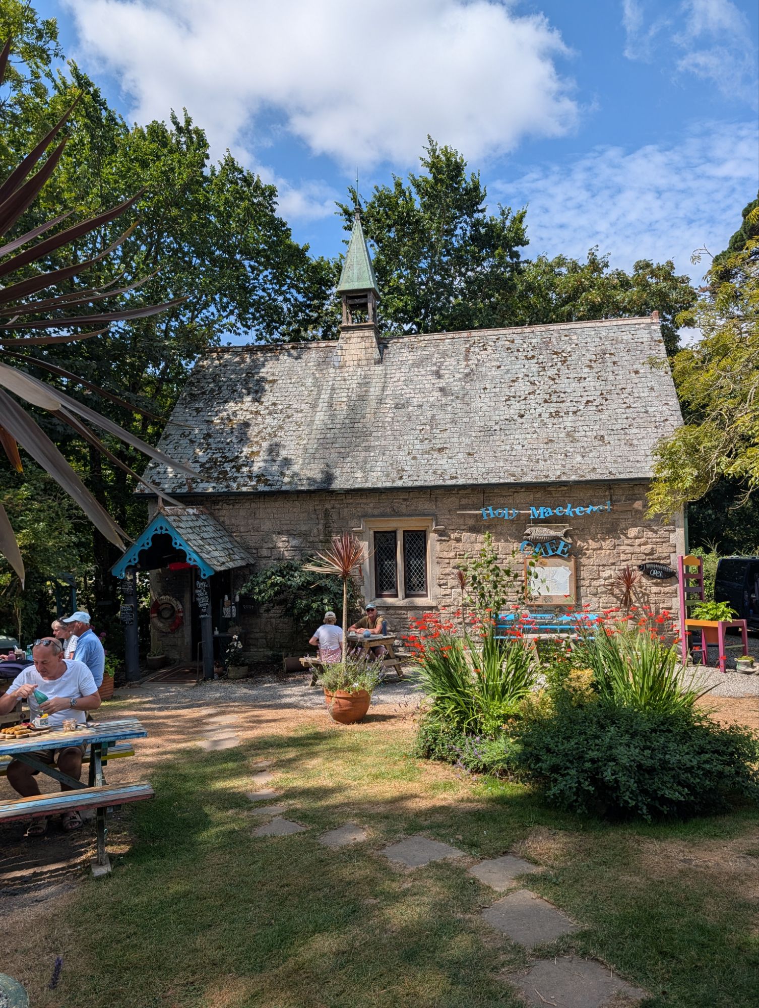
A good use for a redundant chapel – now a café
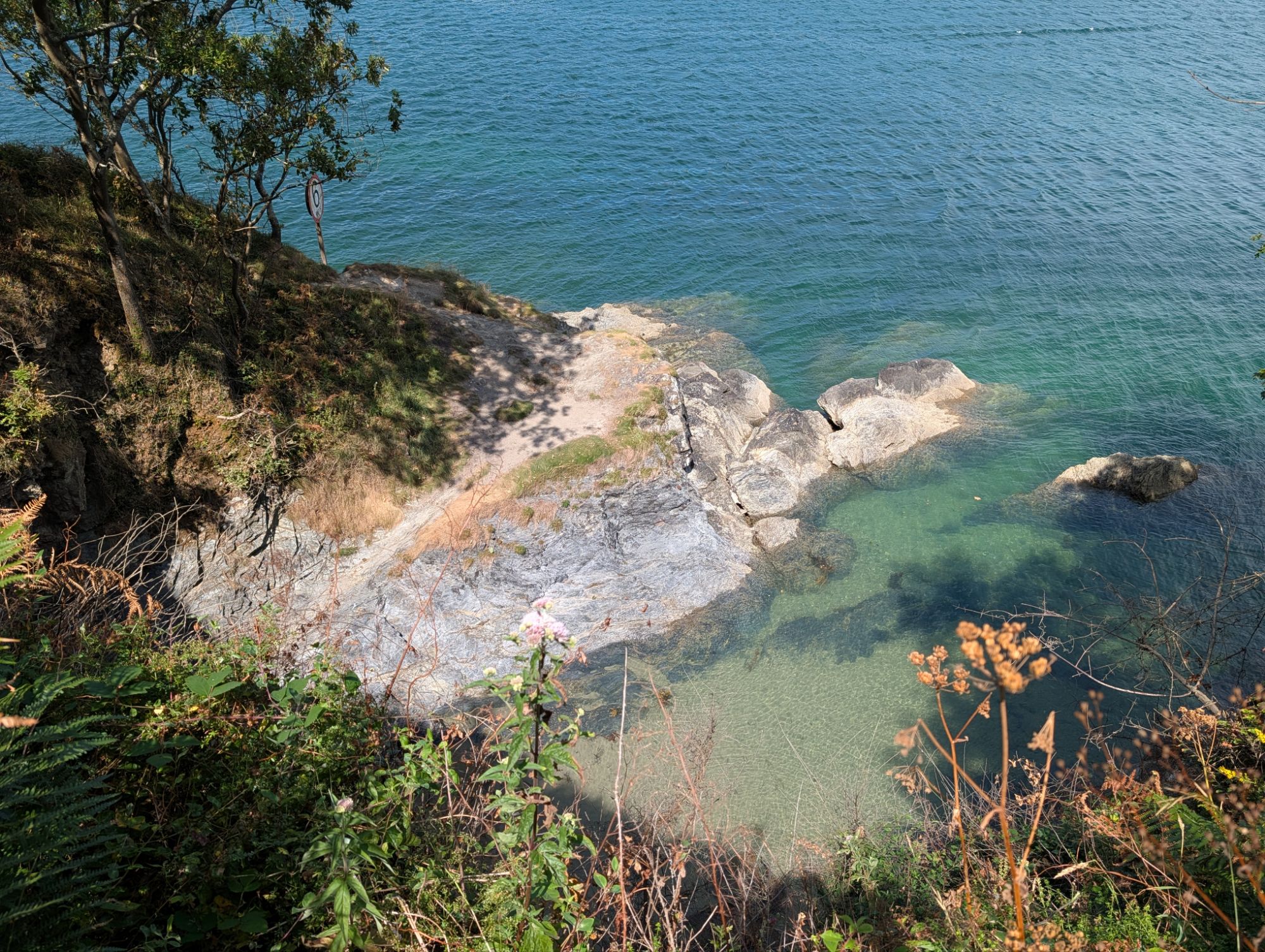
A cove along the coast path
We followed the coast path round Dennis Head to St Anthony-in-Meneage, in Gillan Harbour, then walked back to Helford by another route for dinner.
Spring Fever is the third boat out, photographed next day as we walked the coast path on the other shore to the National Trust gardens at Durgan. The weather looks perfect but there were Force 6 gusts. So we took the water taxi – also the ferry, which picks up from boats – to avoid being soaked in dinghy spray.
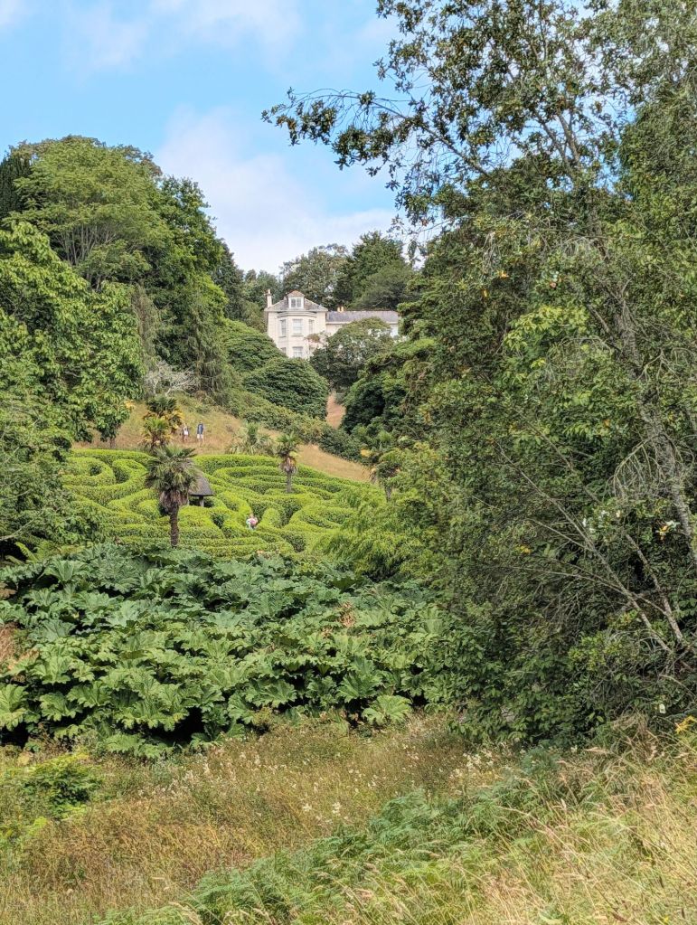
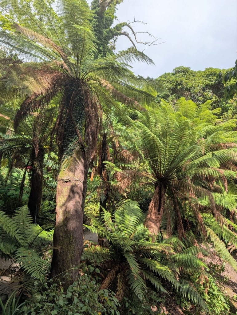
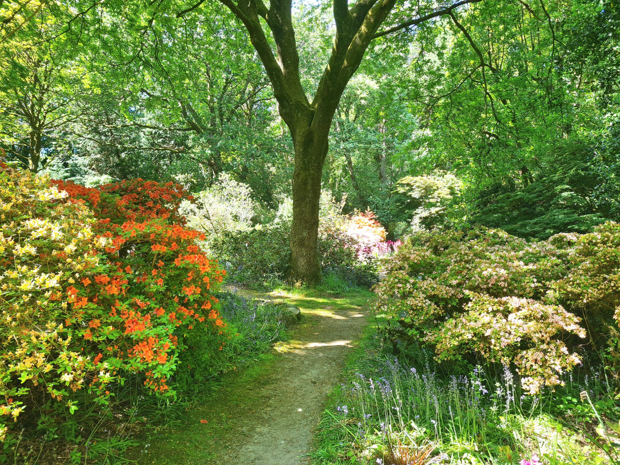
The Durgan gardens are in a steep wooded valley which gives them a sub-tropical climate
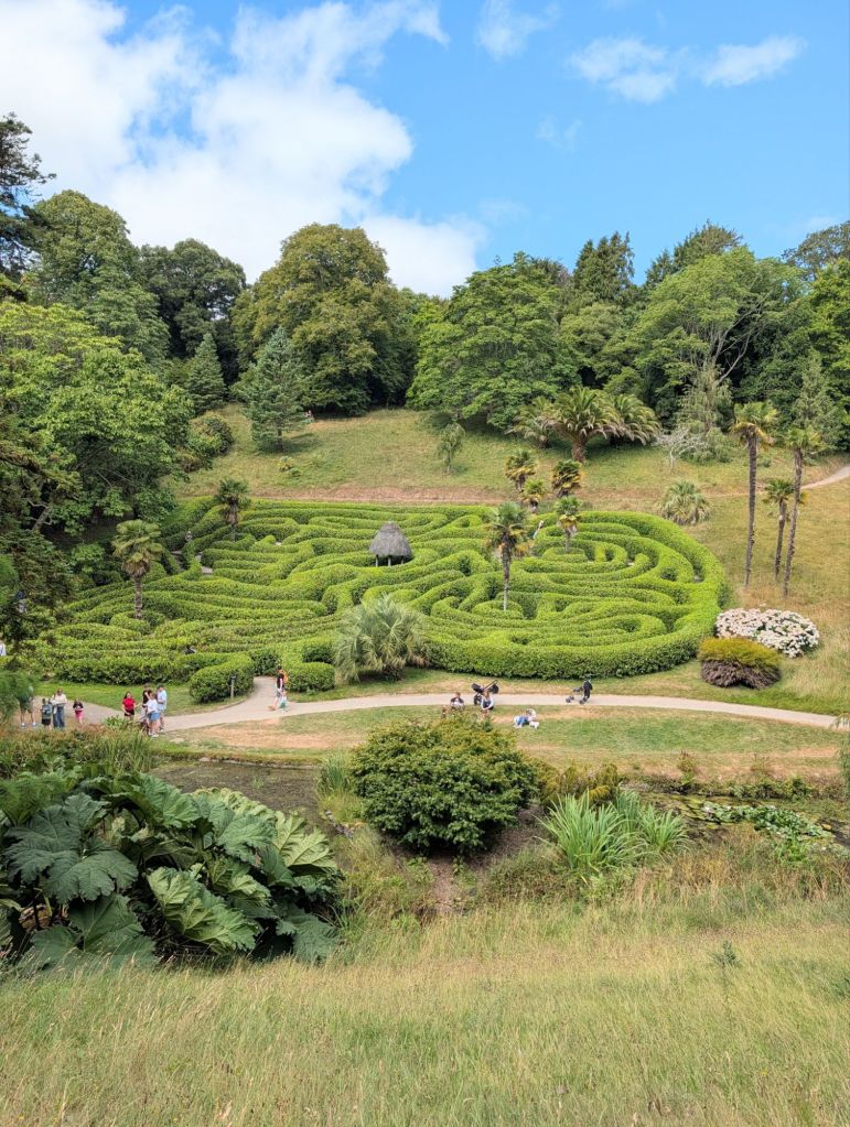
The maze, one of the biggest and most complicated in England, full of lost children having a good time
The beach hamlet of Durgan, with a shop selling ice creams.

Helford Passage, where we stopped at the pub for pints of cold Guinness Zero.

There was one old treat missing: the famous oyster fishery on Porth Navas Creek has closed. We used to go up the creek in the dinghy to buy oysters and mussels.

The ferryman said there was an attempt to rescue it which failed, but not before they had introduced Pacific oysters to replace the precious native variety. Pacifics are now growing wild up and down the river.

The ferryman said scathingly that the fishery had been restarted by a Londoner, which he made very clear he thought explained the whole failure. I felt compelled to confess to being one!

Homeward bound – Milford Haven to Helford

We intended to sail 115 nautical miles from Milford Haven to the fishing harbour of Newlyn in St Michael’s Bay, Cornwall. The weather was so good when we rounded Lands End that we changed our minds, and went another 25 miles to the much more attractive Helford River, near Falmouth.

Slight seas and warm, gentle winds make for good off-watch sleep down below, and the two us were feeling fine as dawn rose approaching Lands End. So we went on to round the next big headland, the Lizard, and turned up the coast to pass the notorious Manacles reef on the approach to Falmouth.

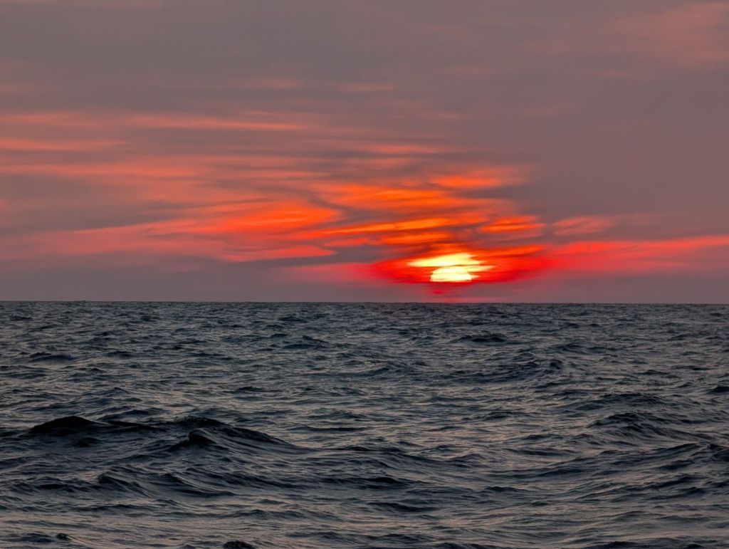
The sun sets on the approaches to the Bristol Channel….
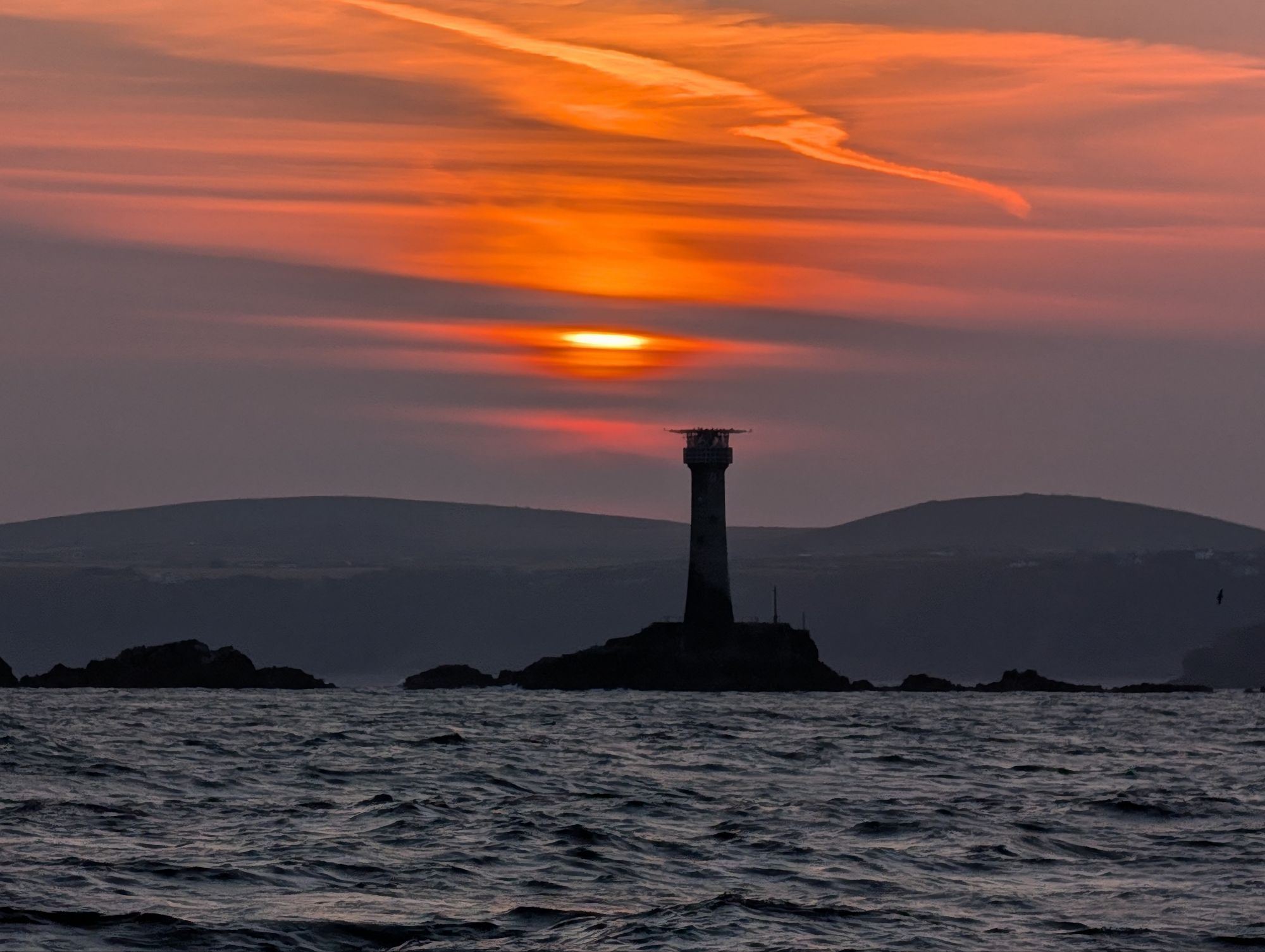
and rises as we pass the Longships lighthouse near Lands End.
The visitor centre at Lands End in dawn light
The Lizard lighthouse, peaceful now but, like Lands End and Cape Cornwall, bad weather and strong tides can make it ferocious
A crabber off the Lizard
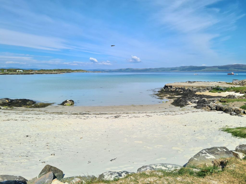
Bosahan Cove, near the entrance to Helford River

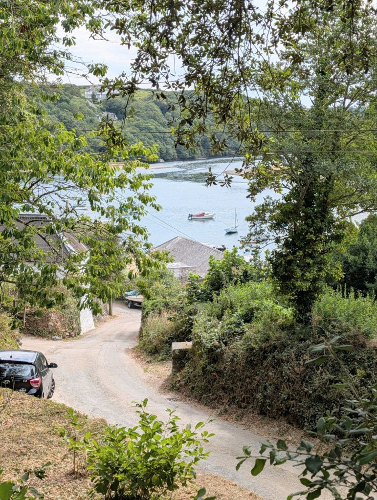
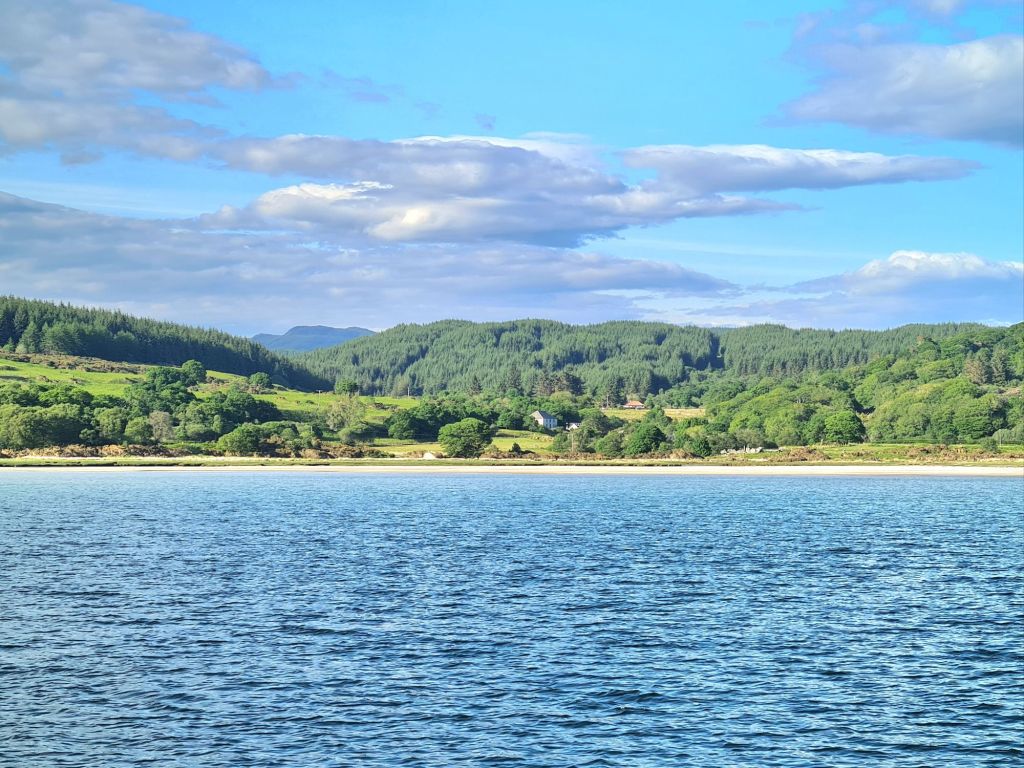
The village of Helford

We were going to anchor, but valuable attempts to protect seagrass beds have closed off much of the area we used on previous visits. So we picked up a visitor buoy nicely placed between the village of Helford on one side of the estuary and Helford Passage on the other, ready for a good rest.

Homeward Bound – Arklow to Milford Haven

We left Arklow in the early afternoon with blue skies, calm water and a light breeze from the north, sauntering out to sea with sails and engine together giving us a good speed.

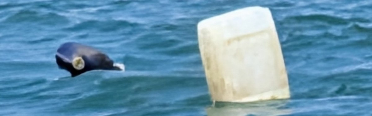
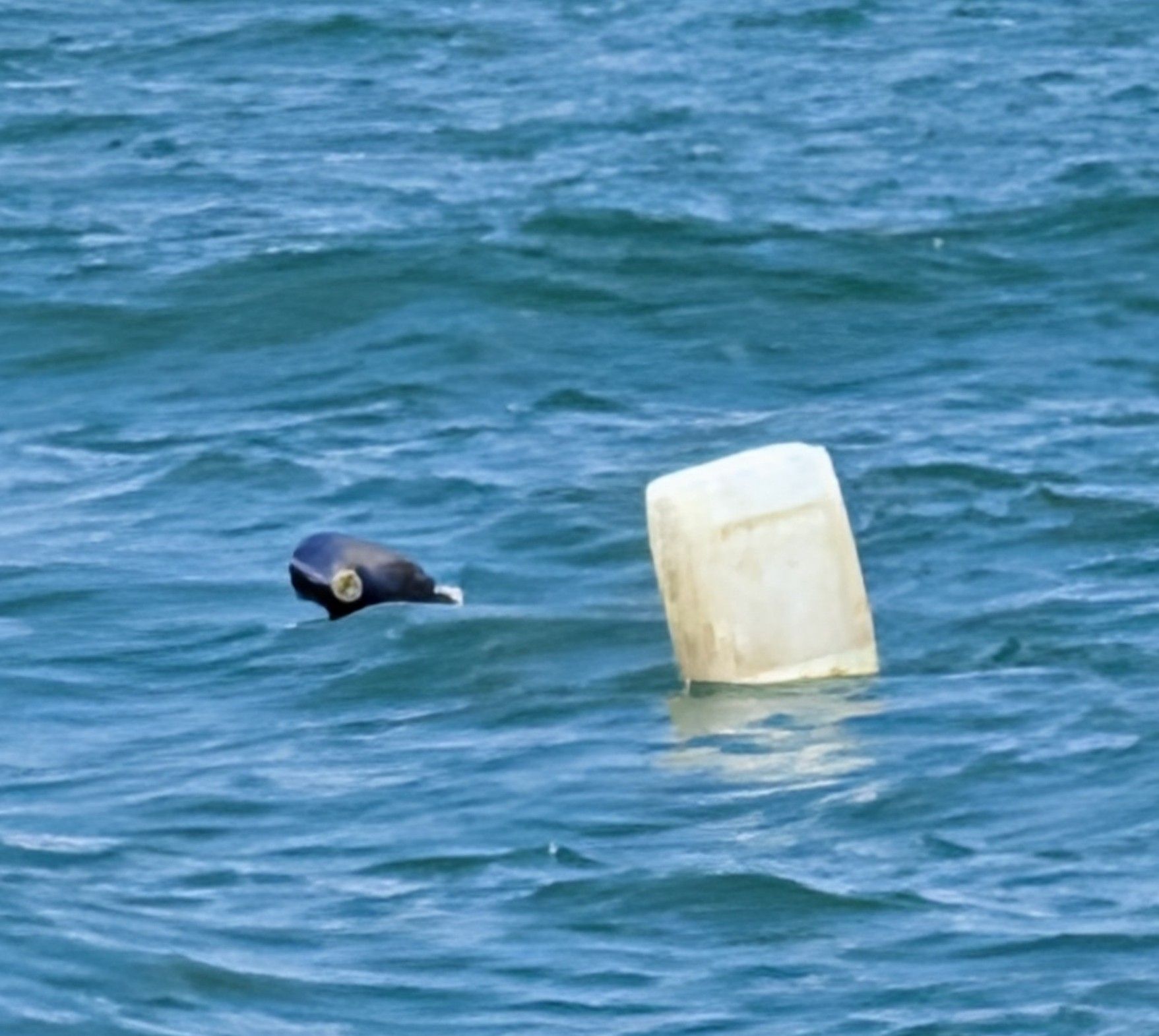
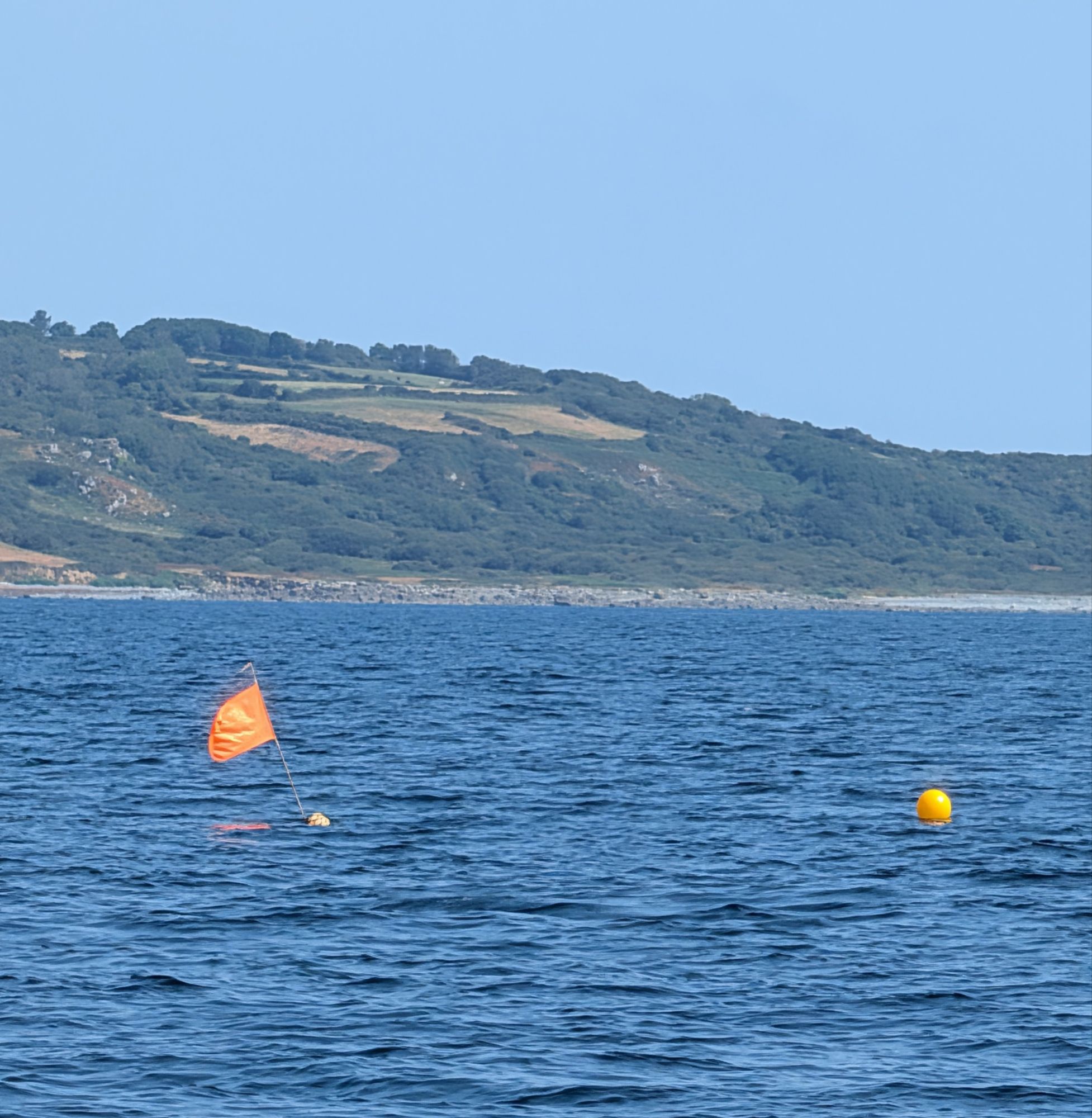
We yet again saw reminders everywhere of one of the most annoying hazards on much of our coasts, which is badly-marked crab and oyster pot buoys.

Goodbye, Ireland….
….the Wicklow coast in the distance

In daytime they may be visible, but at night they are a constant worry, lurking as traps ready to wrap round a propeller or snag a rudder, and disable not just yachts but also small commercial craft, not least other fishing boats. We try to avoid approaching coasts at night.

In daylight with a strong tide, especially near headlands, many marker buoys are dragged under so you can’t see them till they pass almost under the boat.

There’s a new reporting web link, part of an English lobby to copy Scotland in legislating to enforce proper marking, but we saw hundreds of badly marked pots on our cruises, far too many to log.

Ireland was one of the worst offenders, not only failing to mark pots properly but not even using brightly-coloured buoys.

A typical crab pot marker on the Wicklow coast

We saw several large commercial crabbers entirely loaded with pot markers made from old plastic cans, like the one above on the Wicklow coast.

On our passages from Rathlin, we didn’t see a well-marked pot till this one off Cornwall, though it’s a rarity in England too

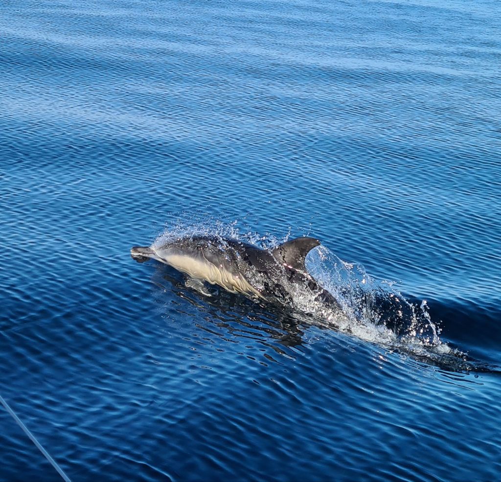
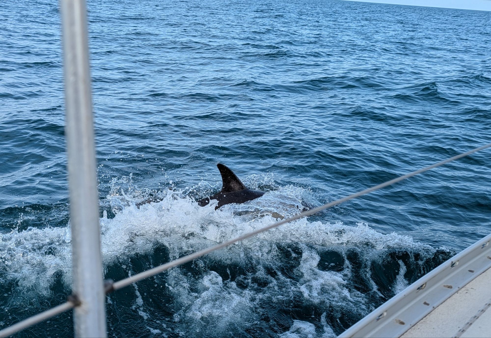
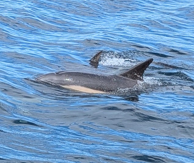
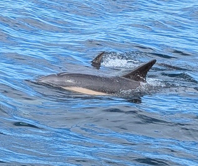
Well away from the coast, we could spend much less effort on watching for pots and focus on the wildlife, with dolphins regularly near, as they have been since Oban.

One of many visitors
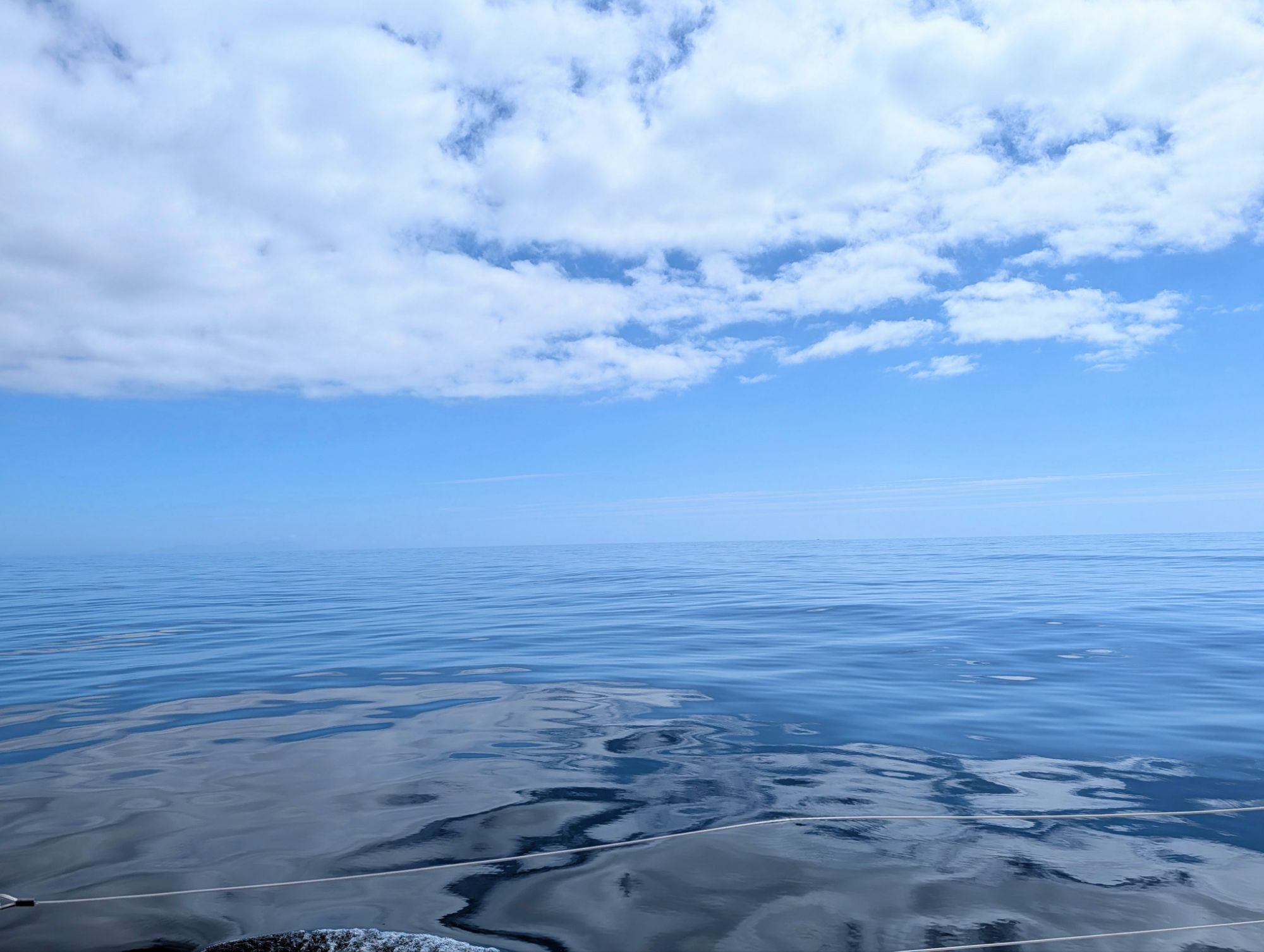
Calm sea and a warm day
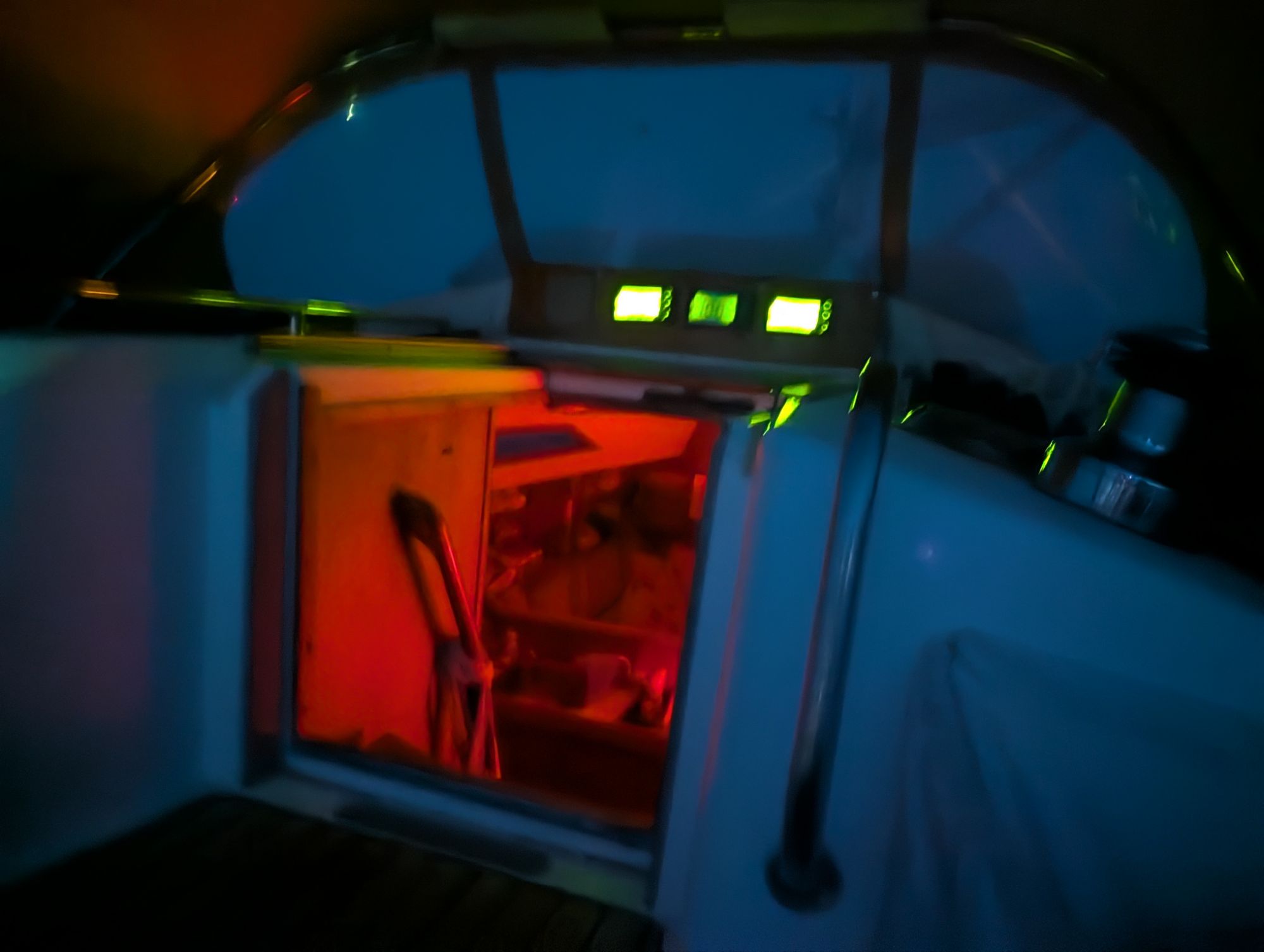
Night in the cockpit, with red down below to help night vision
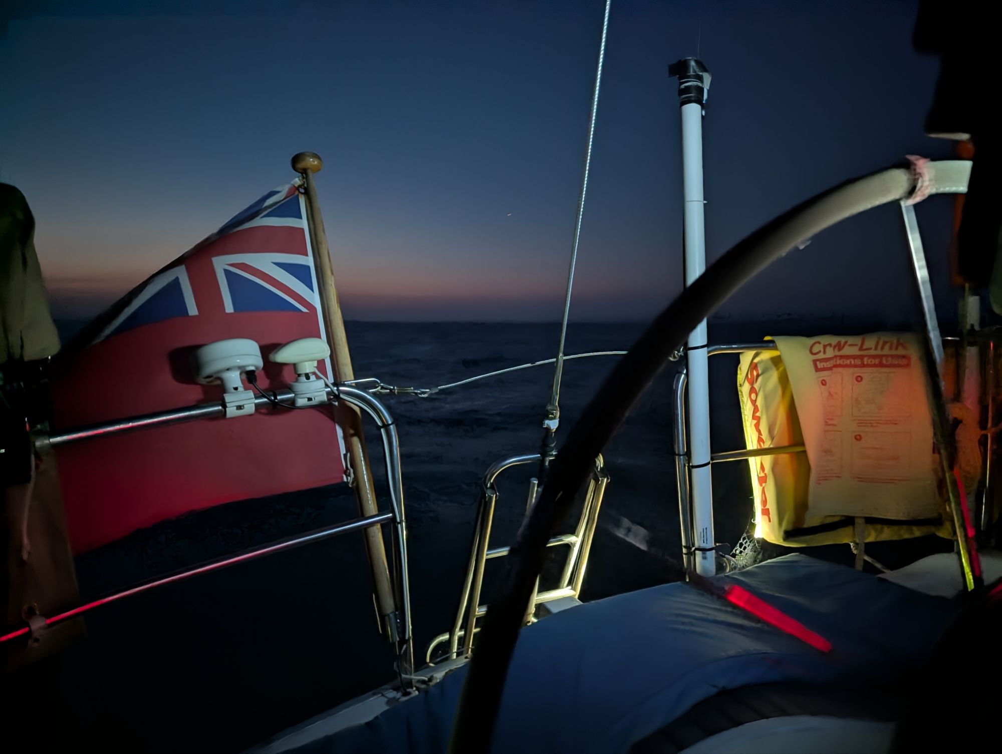
The glare of instruments lights up our ensign, though most of the time the lighting is turned much lower.

After midnight, well before we approached St David’s Head on the south-west tip of Wales, we saw the wind speed indicator ticking gradually upwards. Knowing from a previous passage how the St David’s headland can focus the wind, we put two reefs in the mainsail and furled the genoa, just in time for the wind to shoot up to 25 knots and send Spring Fever surfing down the rapidly growing waves at 8 knots and more.

After 65 miles at sea, it was a hard three hours work at the wheel keeping her on course for the last 15 miles as we approached St David’s and then steered between Skomer and Skokkholm islands as dawn appeared.

When we rounded up into the Milford Haven entrance, it was suddenly peaceful. We motored in the early morning sun into Dale Bay, where we anchored for a rest, before a second rather longer overnight passage round Lands End.

Anchored in Dale Bay

Homeward bound – Dublin to Arklow

We left Dun Laoghaire Marina late on a beautiful morning, with everything you’d want on a summer cruise, except for a bit of wind.

We passed the little bay of Sandy Cove, Joyce’s Tower, setting for the first pages of Ulysses, and the famous Forty Foot swimming rocks on the headland, then motored down the narrow channel between Dalkey Island and Dalkey on the mainland, one of the smartest areas of Dublin.

Georgia working a preventer line, which stops the mainsail from gybing suddenly when sailing downwind.

We passed the woods and heathland of Killiney Hill and turned south close inshore across the gentle but beautiful bays of County Wicklow.

Georgia had joined us at Dun Laoghaire for the start of the next leg of our homeward passage, and had time to go as far as Arklow.

The sea was so gentle and the wind so light that we used the fourth crew member, the Raymarine autopilot, to steer much of the way.

Wicklow landscape
Georgia, with Wicklow Head in the far distance
Approaching the Head
Passing the Head

After the low headland, we could see Arklow in the distance, with a narrow harbour entrance, which is the mouth of the Avoca River.

The marina is an old dock reached through a narrow entrance in the harbour wall a short way up-river, and is a good test of boat and crew at close quarters manoeuvring. I took her in, and put her exactly where the harbourmaster ordered, giving Tony an even harder task squeezing out again next day when another boat came in behind us.

Seen from the entrance, that’s Spring Fever by the far wall, later hemmed in further by another yacht

We were in Arklow Marina at the height of the Irish boom years, just before the 2008 crash, and saw the exuberant optimism of the times in action. Georgia was crewing for me from Falmouth to Belfast in Pepper, the first time I sailed round Britain.

When I asked the way to the nearest supermarket, the man in charge of construction on a site by the marina insisted that I, a total stranger, should borrow his car. I protested, but gave in to his charm – then realised he was handing me the keys of his brand new Porsche Cayenne.

With shopping done in the Porsche, we went off to look at my grandfather’s farm in the hills above Wooden Bridge – taking a taxi for that. Boom and bust, the buildings went up, because here they are, a smart block of flats, with a new supermarket behind.

The 19 arch Arklow bridge (photo VisitWicklow.ie)

After mooring Spring Fever, we walked across Arklow’s 19 arch bridge to the town, which turned out to be a sleepy place on a Monday, so we ate on board that evening. Next day, though, we had splendid Irish breakfasts at Coffee 4 You, an excellent cafe overlooking the river and bridge on the town side of the river.

We said goodbye to Georgia, who was heading back to Dublin for work and childcare, and stocked up for our next passage to Milford Haven at the big Aldi supermarket  by the marina.

Homeword bound – Rathlin to Dublin

We left Rathlin on a mission to finish a cruise interrupted 5 years ago by Covid. We had been heading for Strangford Lough, a celebrated wildlife reserve in Northern Ireland, planned as our last stop before turning home to the Solent.

Three of the four of us caught Covid at Carlingford on the border between the Republic and the North. A crowded pub was probably the source. Delayed by a week of quarantine, we sailed for home, two flying back and another fresh crew member joining in Dublin.

Rathlin behind, as the sun rose

From Rathlin this time, we were immediately carried east by a fierce tide with circular eddies that made Spring Fever twist and turn as we moved along.

After we passed Fair Head and turned south, the rapid flow created a short and unpleasant chop, with the waves sometimes pyramidal and the wind too light to stop the mainsail banging and crashing around. It would have been better to go several miles out to avoid the unpleasant tide race which was flinging the boat around.

Fair Head, the north-east tip of Ireland

An hour later the water settled down and we could watch the beautiful Antrim coast pass by as we motor-sailed our way to our interim stop at the marina in Bangor, Belfast’s seaside town.

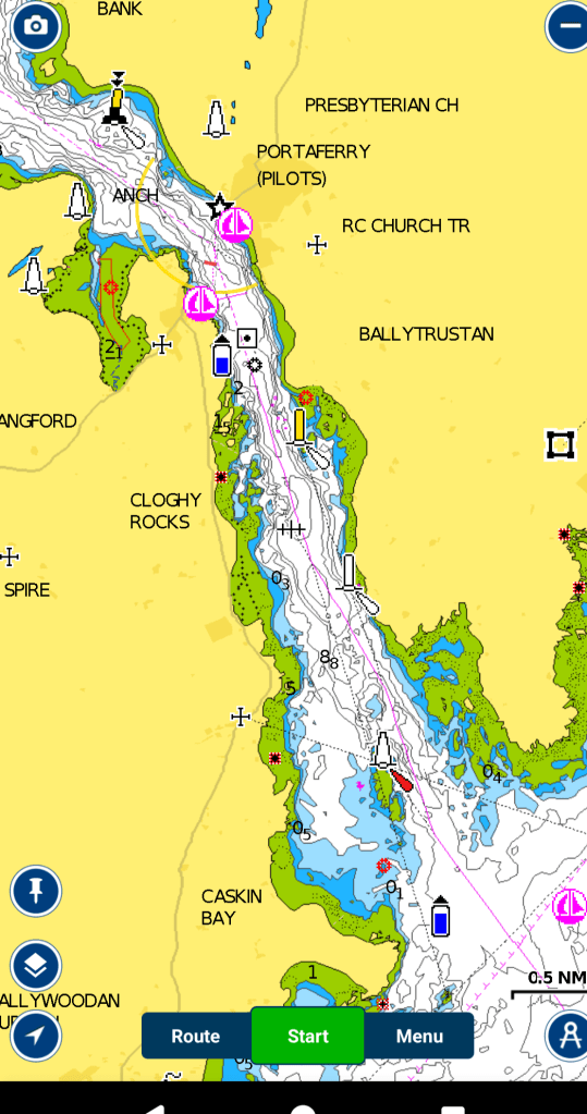
It is near enough to the entrance to Strangford Lough to be able to time arrival at the Lough precisely, which is important when dealing with water that sometimes flows like a rapid. Strangford Lough is a beautiful and shallow seawater lake dotted with islands, with a narrow 4 mile long entrance that has tides up to 8 knots.

We rang the harbourmaster at Portaferry, just inside the lough. He suggested a precise time, 1400, to be at the seaward end of the narrows to catch the very last of the flood tide up towards the village. For most of the 20 minutes it took to enter, the water was actually slack. (More detail of entry and exit conditions and timings is at the end of this post).

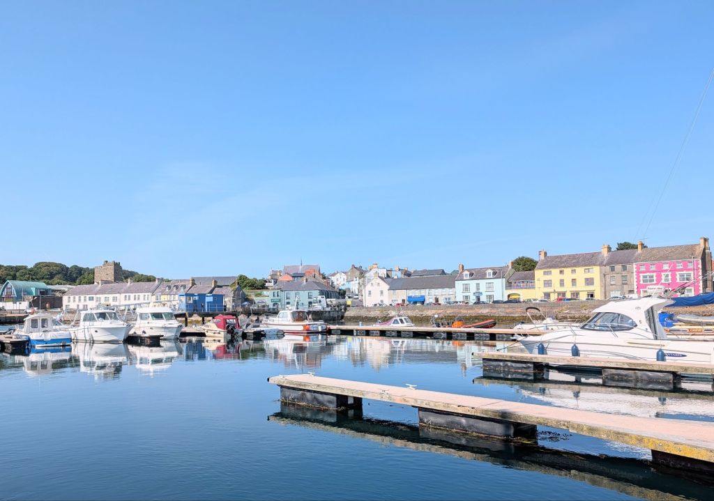
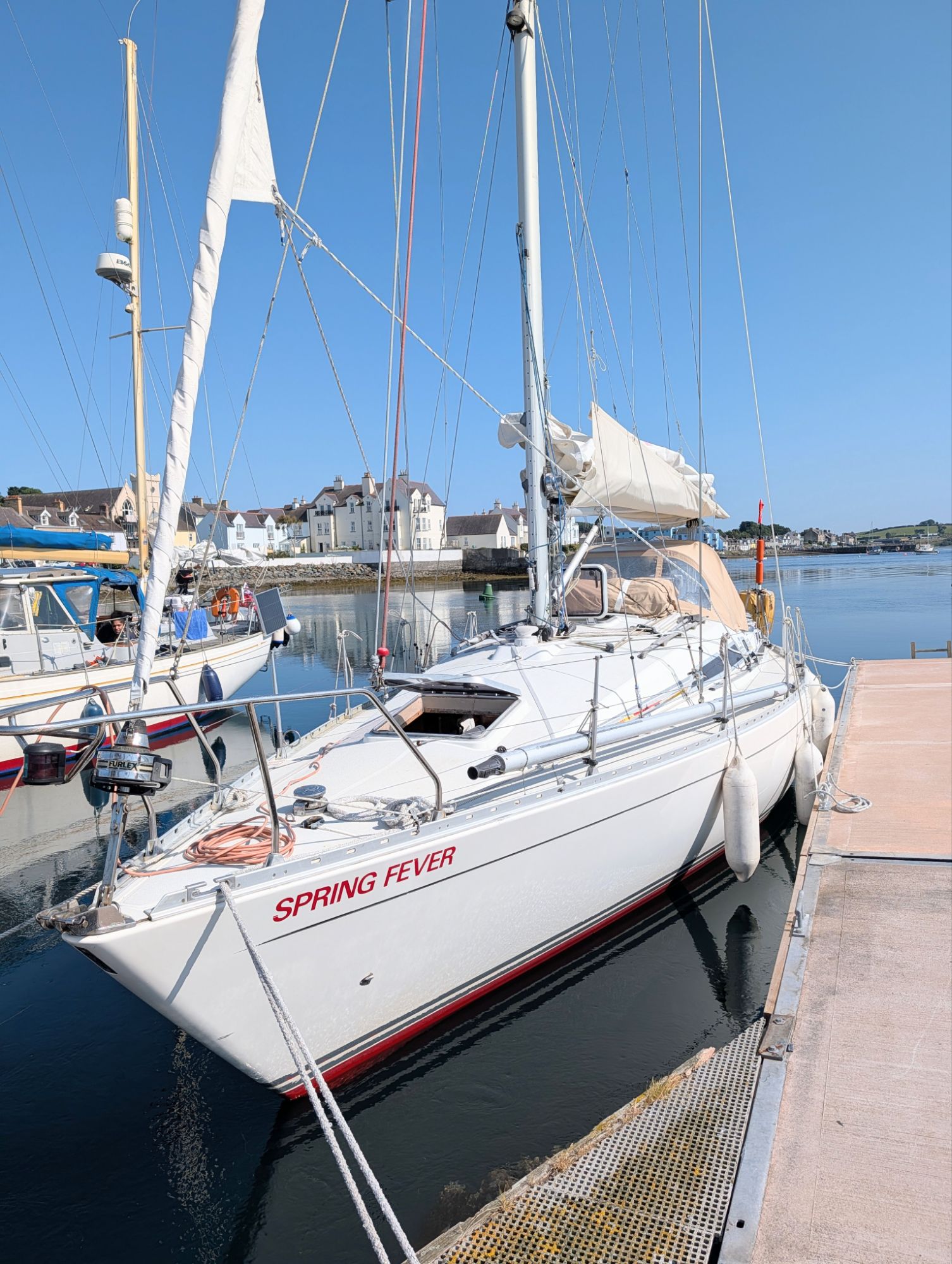
Portaferry from Spring Fever

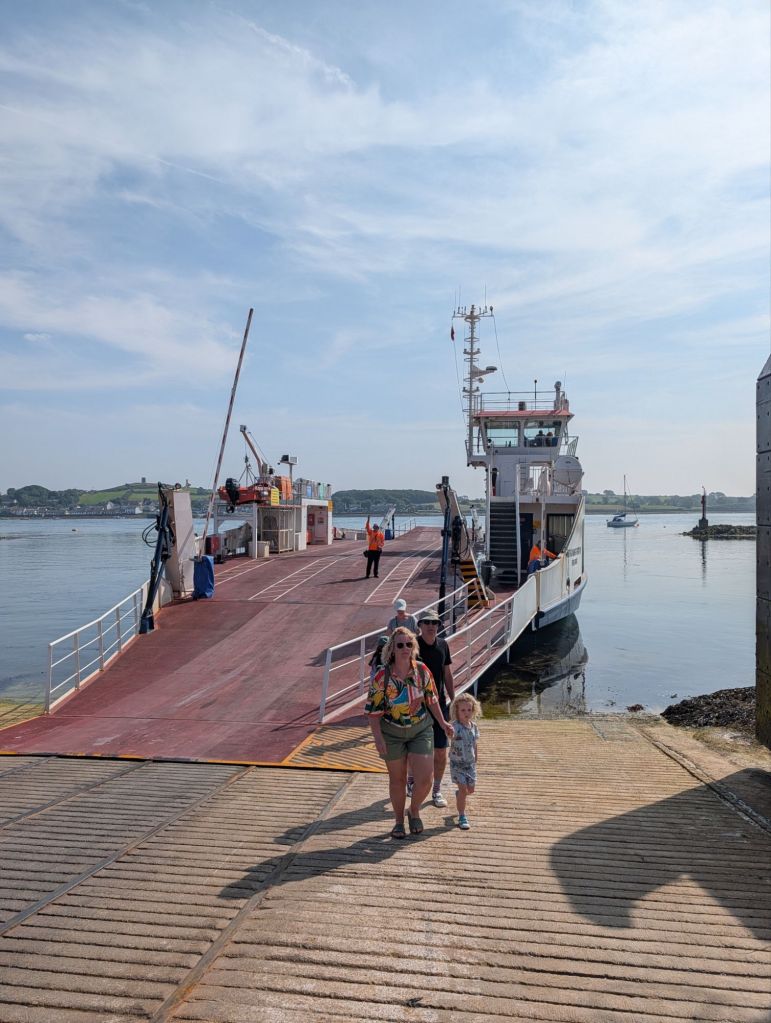
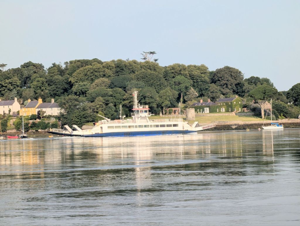
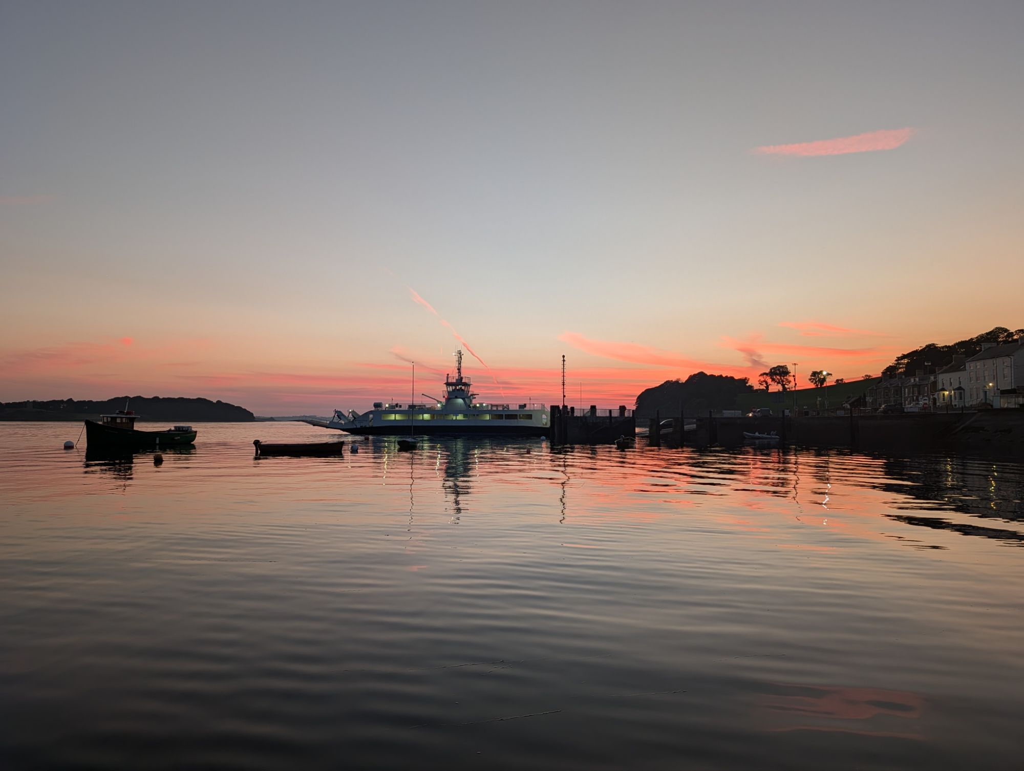
Portaferry is on the north shore, and has good shops and restaurants. Immediately opposite, connected by a car ferry that must take great skill to manoeuvre in such a strong tide, is the attractive village of Strangford.

The ferry waiting to load

We had a good dinner at the Portaferry Hotel, and next morning said goodbye to David, who caught a bus to Belfast and the airport. David had commitments at home, not least of which was to join the East Coast Old Gaffers summer rally in his own boat.

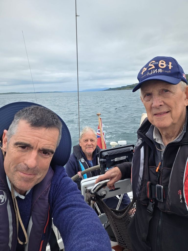
David, Tony, Peter

Next day, we took the ferry to Strangford to visit Castle Ward. The other more celebrated National Trust estate of Mount Stewart was a bus ride away, and we preferred Castle Ward because it was an easy 2 mile walk from the ferry, the second mile through the house’s beautiful wooded parklands with lovely views over the lough. The farmhouse by the shore was a location for scenes in Game of Thrones. The estate and garden have play areas and other attractions for children and there are bikes to hire and trails all over the park.

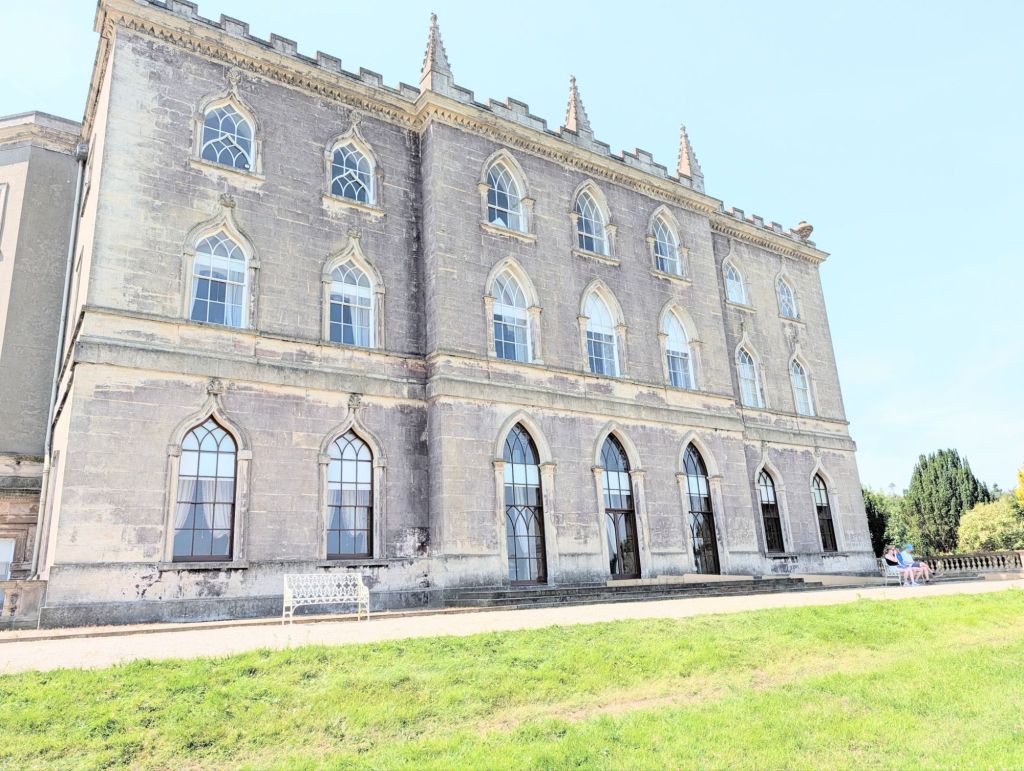
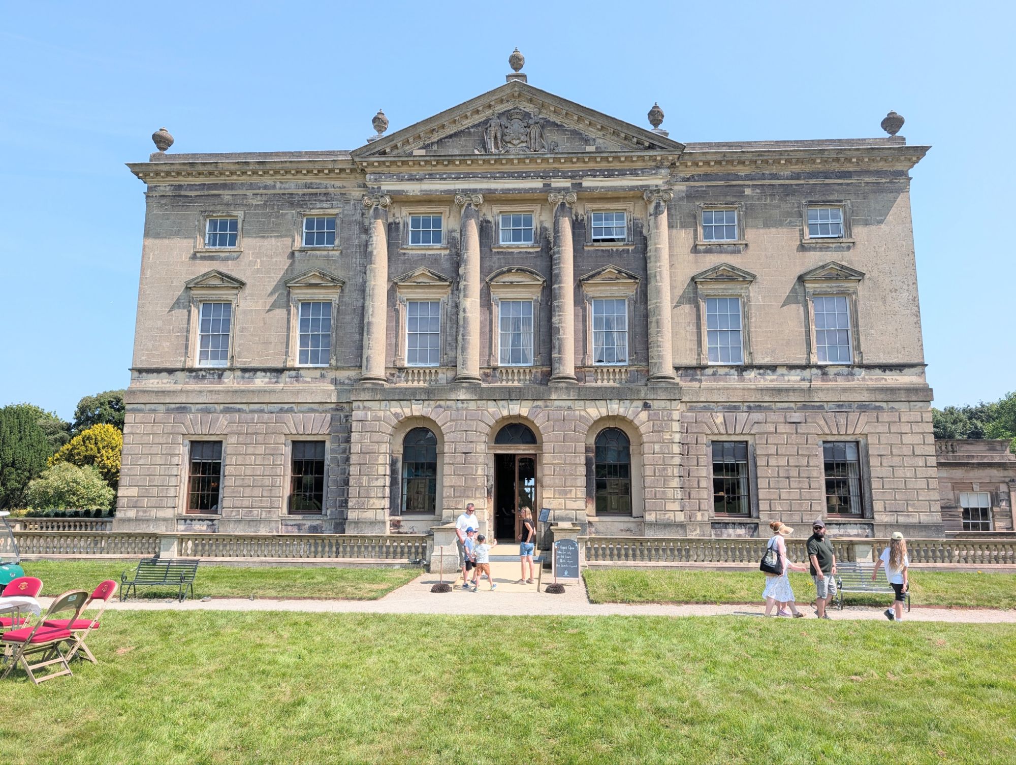
The house is interesting as much for the architectural row it provoked between husband and wife when it was built in the 1760s as for its content. Mrs Ward wanted the Gothic revival style, made popular a few years earlier by Horace Walpole’s Strawberry Hill in London. Mr Ward (later Viscount Bangor)  preferred a severe Classical style. The deal they made was that the front facade and rooms were Classical and the back facade and rooms were Gothic.

Mrs Ward
Mr Ward

The marriage crumbled later, and Mrs Ward (aka Lady Bangor) moved to Dublin, then Bath.

We visited the cafe for coffee, toured the house and wandered back to Strangford through the grounds.

The ferry beginning its crab-like sideways movement across the tide. The nautical term ferry glide refers to that manoeuvre with any boat.
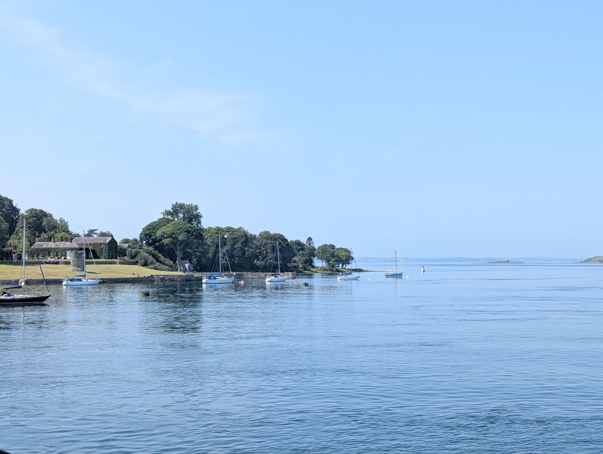
The lough as we leave Strangford village on the ferry

Sunset on a still evening from our pontoon

Next day we again followed the harbour master’s timing advice, and left at 0800 on the last two hours of the ebb tide, as it began to weaken from the mid-tide peak flow. It was a spring tide, and the chartplotter registered up to 12 knots speed over the ground, with the boat moving through the water at 4 knots.

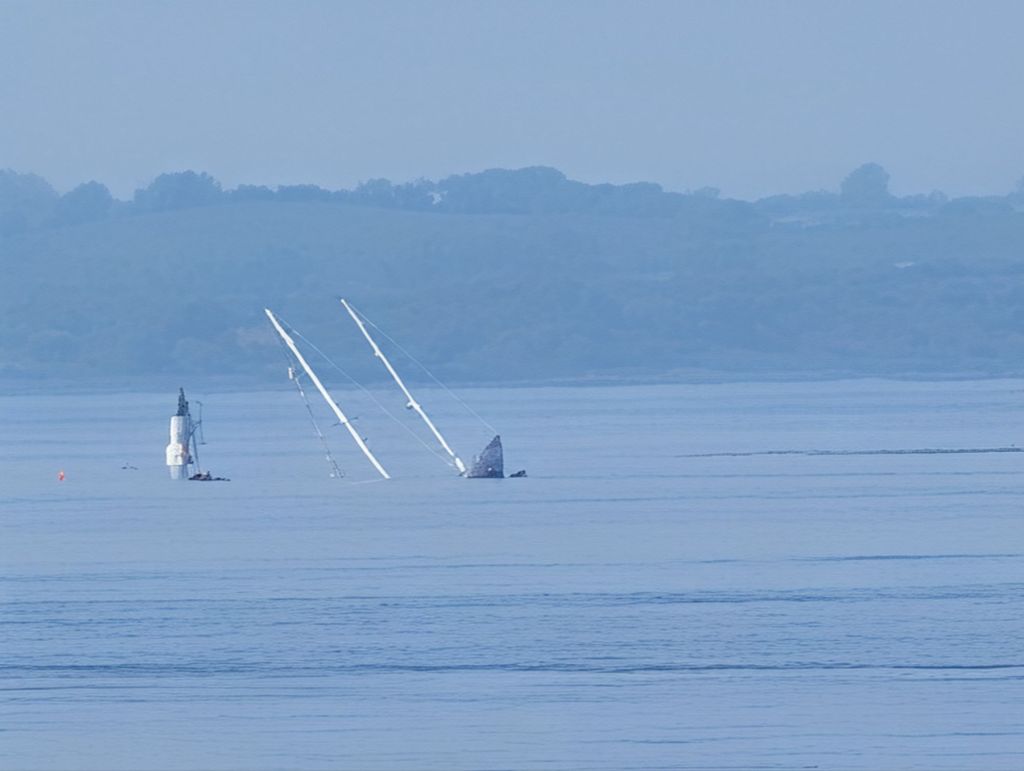
It’s not always so tranquil – remains further into the lough of a local yacht that broke its moorings in a storm two years ago

In good visibility the hazards were well marked, and we were soon out of the entrance and setting a course for Dublin, where we moored at sunset in Dun Laoghaire marina, the 2021 cruise finished at last!

From Strangford Lough to Dun Laoghaire in the southern suburbs of Dublin was an easy 65 miles, in light winds and warm weather,  much of it easy motor sailing. We passed Howth Head as sunset approached, crossed Dublin Bay, and went to a pre-booked visitor pontoon in Dun Laoghaire’s enormous marina, to see family the next day. They live a short walk away from the harbour.

Timings for entering and leaving Strangford Lough

The general advice everyone gives is that it’s best to enter around slack water at either low or high tide. The Portaferry harbourmaster, a retired merchant navy man, was a helpful guide with a more precise suggestion.

The narrow Strangford  Lough entrance – source, Navionics

Reeds Almanac puts the start of the flood tide up the loch at the seaward end of the narrows at 3.5 hours before high water at Belfast, which meant 1500 at the Strangford entrance.

The harbourmaster said however that the best time to arrive that day, two days before the highest spring tide, was 1400, which we timed pretty exactly from Bangor. We were then carried for half a mile on the last of the flood up the narrows, and the rest of the way it was slack with no turbulence. There was only a little outward flow by the time we reached the marina. Stories we heard about having to ferry glide in to the entrance across a fierce tide were redundant with that timing. 

The harbourmaster’s timing advice for exit two days later was to leave on the ebb at 0800, two hours before low water. Reeds says the ebb starts at the entrance 2.5 hours after HW Belfast, which was 10.23 at Strangford entrance. So we were leaving with more than two hours of ebb tide to go.

In fact, the harbourmaster said we’d be alright leaving even an hour earlier at 0700, at half tide, but maybe that was because the conditions on the day were perfect. When we left at 0800, big swirling eddies and calm patches between were good guides to the shallows and we had little trouble steering in the turbulence. With 12 knots at times over the ground, we were out at sea in no time.

One big caveat: the weather conditions and visibility were fine and with the beacons and signs of turbulence on the water it would have been easy enough to come in and out without a chartplotter. But the tides ard so fierce that even an easterly Force 4 can make the entrance dangerous, with big standing waves. I’d say a first timer at Strangford Lough should wait for good weather, and always try to speak first to the harbourmaster.

Homeward bound – Kerrera to Rathlin

After three seasons and two winters based in Kerrera, we said goodbye to our highland base and headed south, the start of a 700 mile cruise home. First objective was Rathlin Island, off the coast of Northern Ireland, to visit the famous seabird reserve.

The marina on Kerrera couldn’t have been friendlier, and Gill, the co-owner, gave us both a hug as we said goodbye. With its own 10 minute ferry to Oban’s shops and railway station, and a good restaurant and bar in the marina, Kerrera is an excellent place to keep a boat in the Highlands. There are also some lovely walks round the island.

Fuel and water tanks full, ready to leave

On a still, sunny afternoon, Tony, David and I motored south between the island and the mainland, caught the fast south-going tide swirling through the narrow Sound of Luing past the island of Seil, then cut across the entrance to the notorious Corryvrechan tide race and whirlpools, so we could motor close inshore down the coast of Jura.

Peter, Tony, David, with the entrance to Corryvrechan in the background, innocuous that day

We were looking for, and saw, the house where George Orwell wrote 1984, when he lived for a while at the north end of Jura, near Corryvrechan. He almost drowned there when he ventured out in a rowing boat.

Barnhill farmhouse, where Orwell wrote 1984. It is above a small bay, looking straight down the beautiful Sound of Jura.

We decided to rest for the night at the island of Gigha, close to the Mull of Kintyre. It has a surprisingly mild climate and attractive gardens, which we visited last year, but all we needed this time was somewhere to sleep overnight

Dorlinne Bay

The wind veered east as we arrived, leaving the visitor buoys at the main anchorage exposed. Using our large scale Antares charts, we found Dorlinne Bay on the north-west of Gigha, a shallow sandy anchorage with protection from the north-east through east to south-west winds.

It is divided from an even more sheltered bay to the south by a sandspit, but we could see the masts of a crowd of boats there, whereas Dorlinne was empty, and we had it to ourselves, apart from campers by the beach.

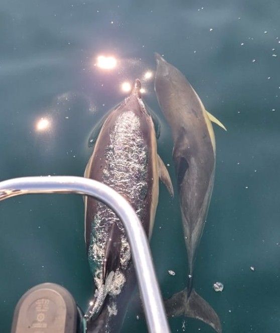
Dolphins in North Channel, photographed by David from the bow

From Gigha, we motored on another still, calm day across the North Channel which separates Ireland from Scotland. We had the most spectacular display of dolphins we have ever encountered, with many dozens accompanying us for a while.

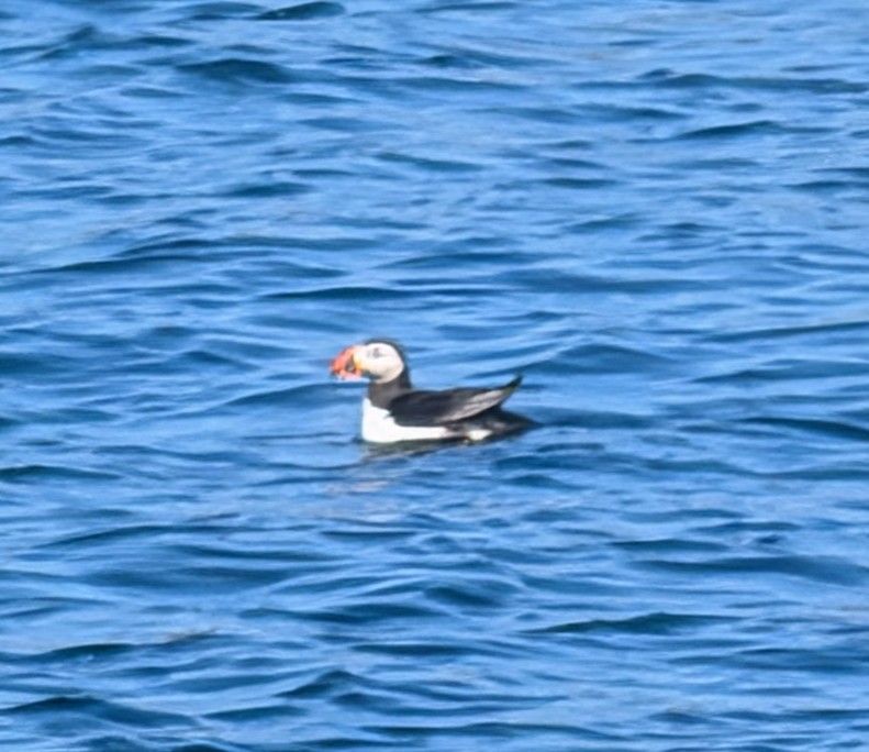
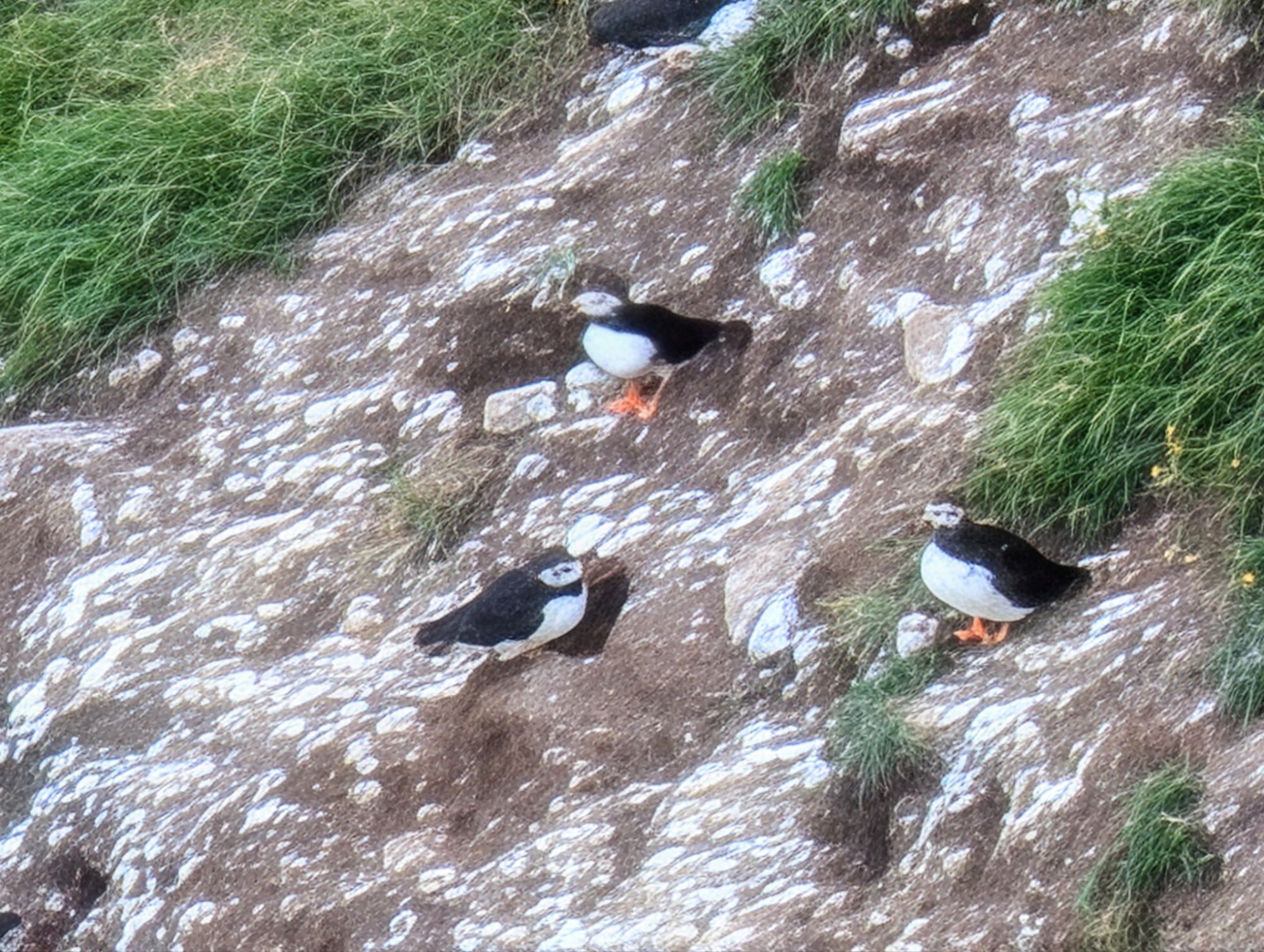
There were seabirds hunting in large groups and, as we neared Rathlin, we saw puffins swimming and flying.

One of the puffins we passed

Rathlin is shaped like a boomerang, and tucked into the inside angle is Church Bay, which has a marina. We phoned the harbourmaster who gave instructions on where to berth.

On the approach to the harbour is the underwater wreck of a British cruiser, HMS Drake, torpedoed in 1917 by a German U-boat. The captain headed the damaged ship for Rathlin, planning to beach it, but they did not quite make it. Years later, a fishing boat hit the wreck, and sank on top. Both are marked now by a cardinal buoy.

The village has a friendly pub with bar food, but we preferred the Manor House Hotel for dinner.  It has a good and reasonably priced restaurant.

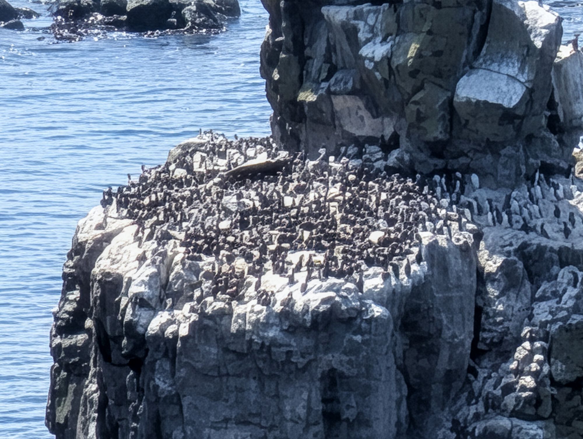
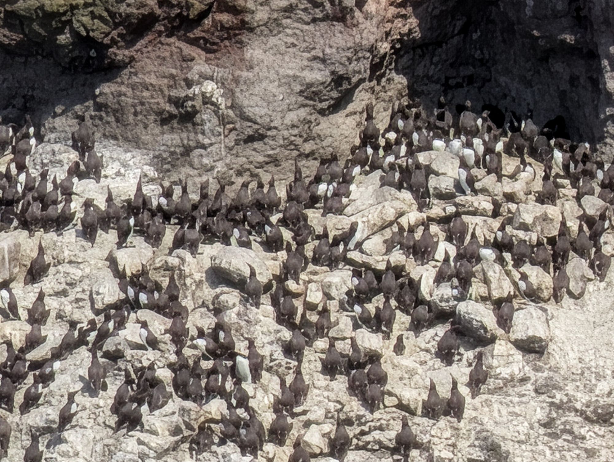
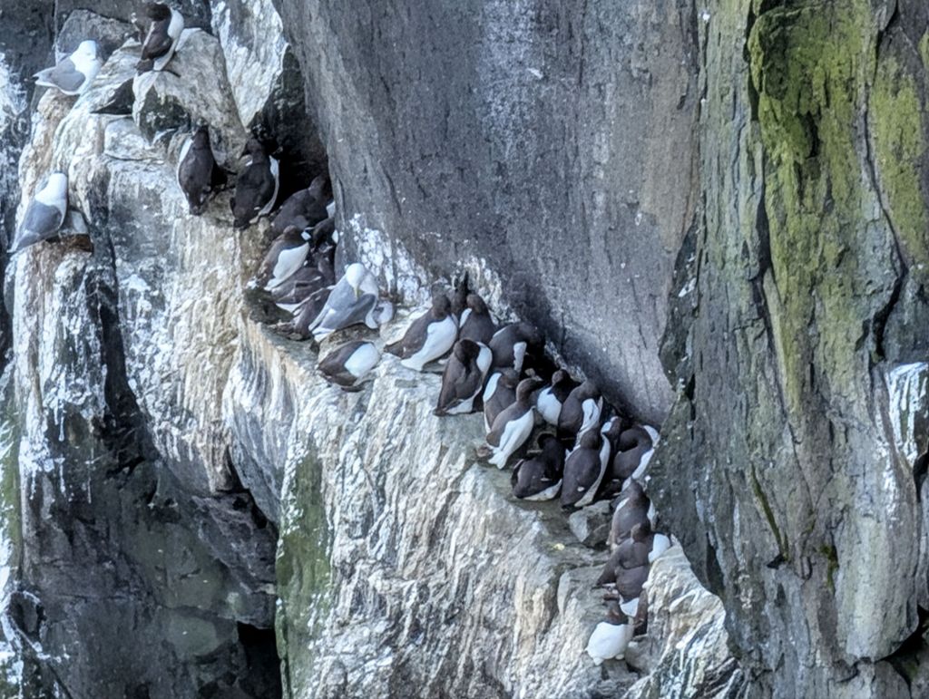
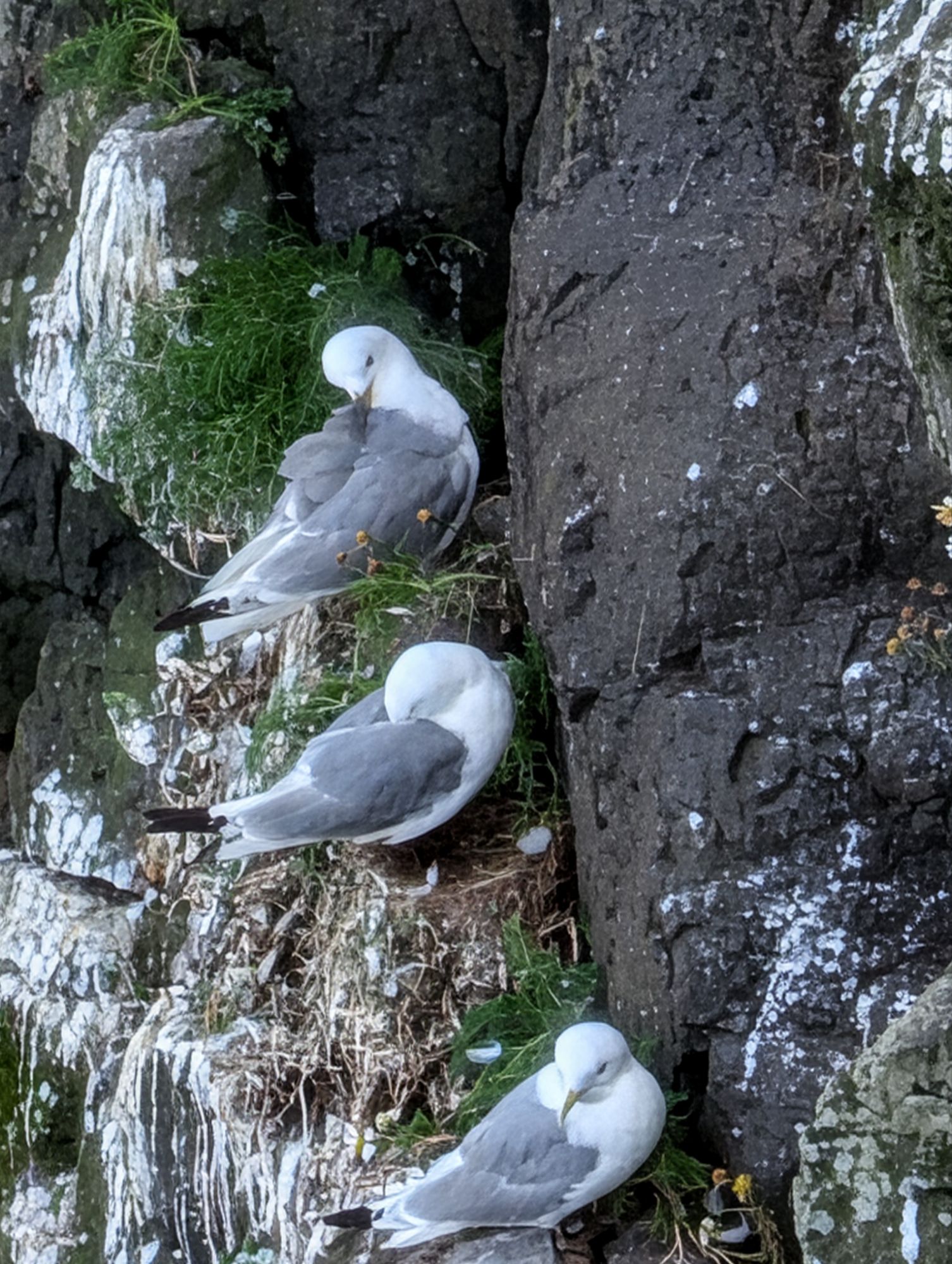
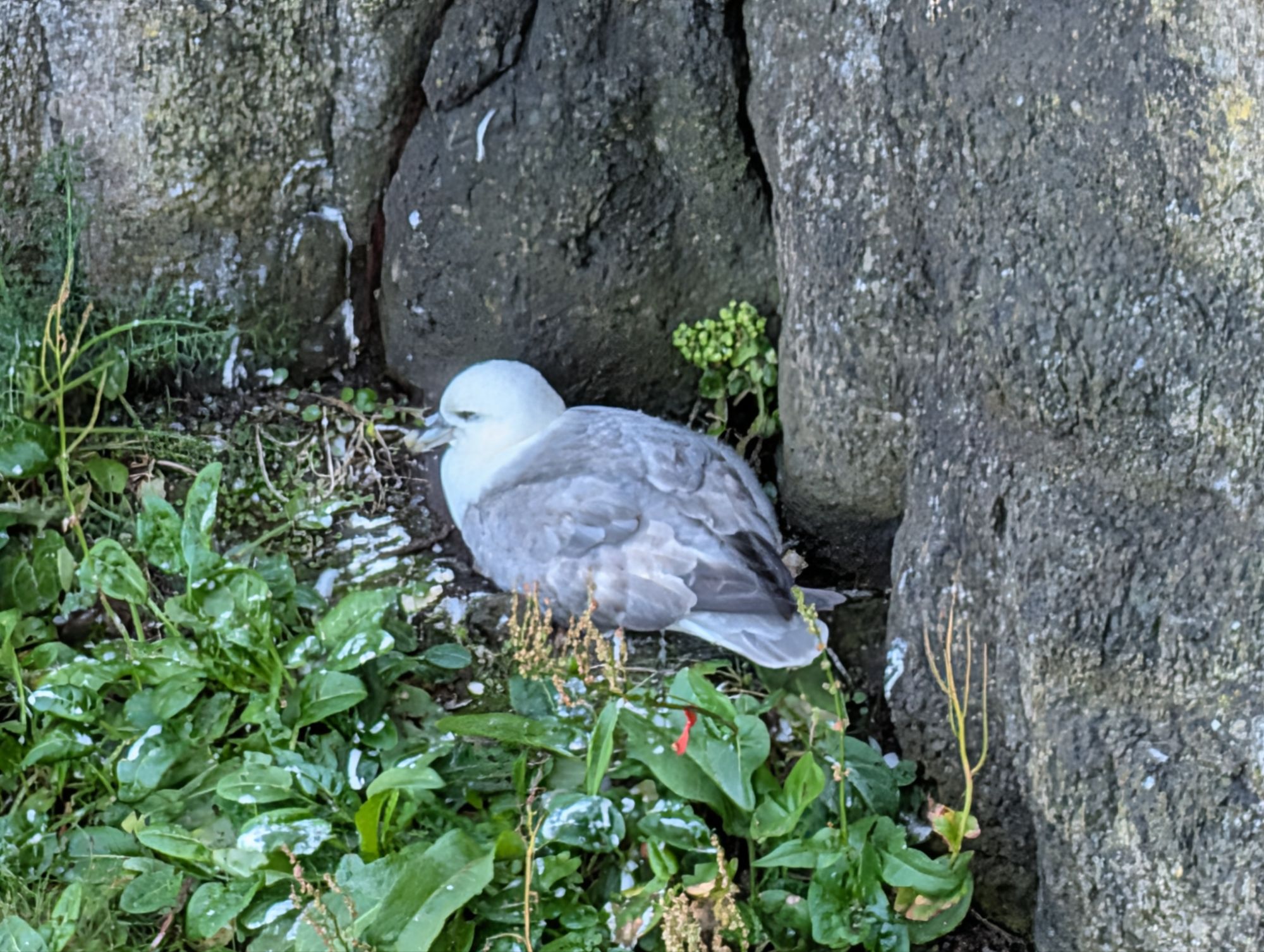
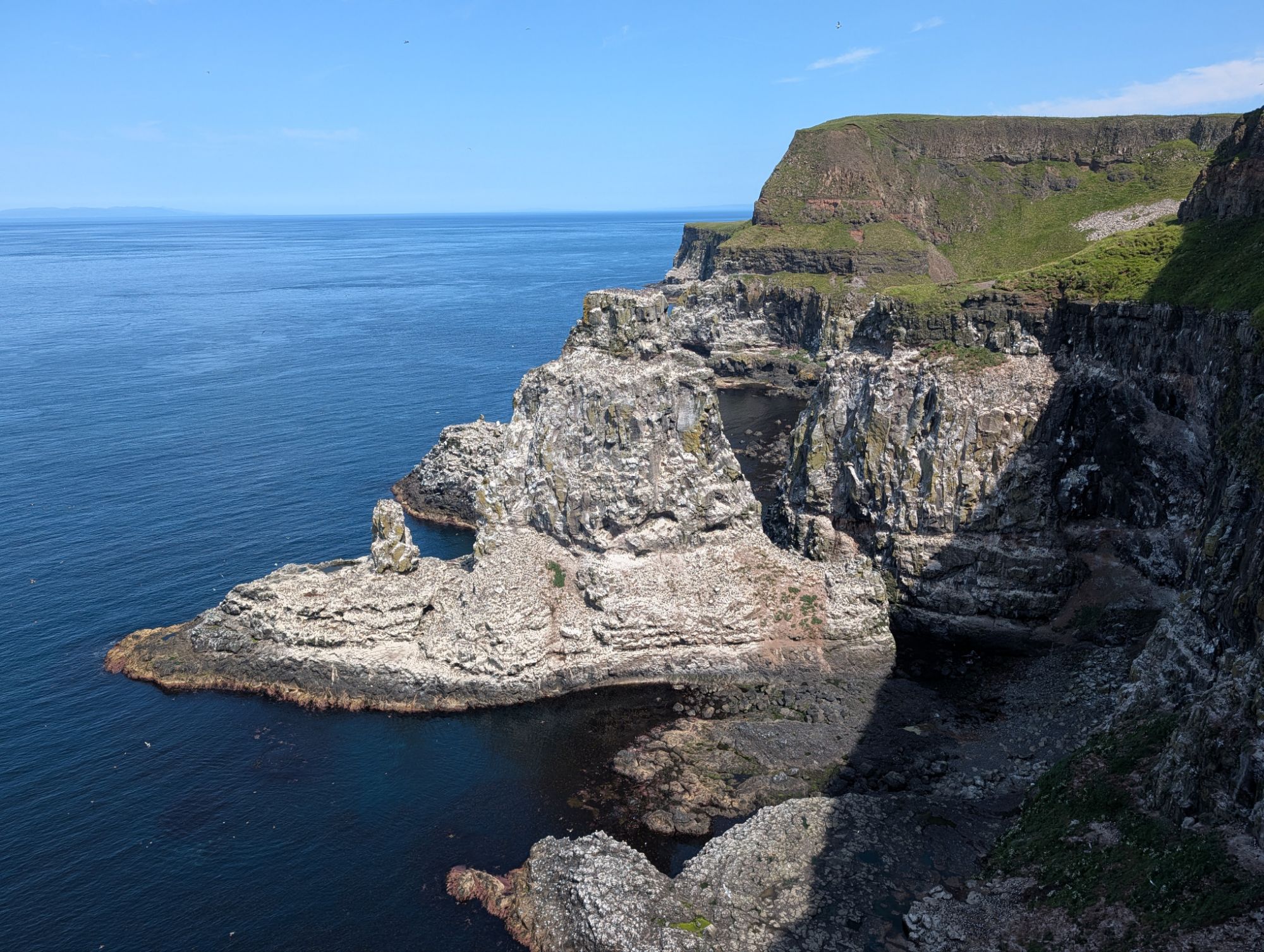
The big draw of Rathlin is the spectacular RSPB seabird reserve on the cliffs at the west of the island, best visited from May to July to see hundreds of thousands of guillemots, razorbills, puffins, kittiwakes and fulmars feeding their chicks. Buses from Church Bay charge £6 for a round trip to the sanctuary, 4.5 miles away. It’s walkable as well, on a road with very little traffic.

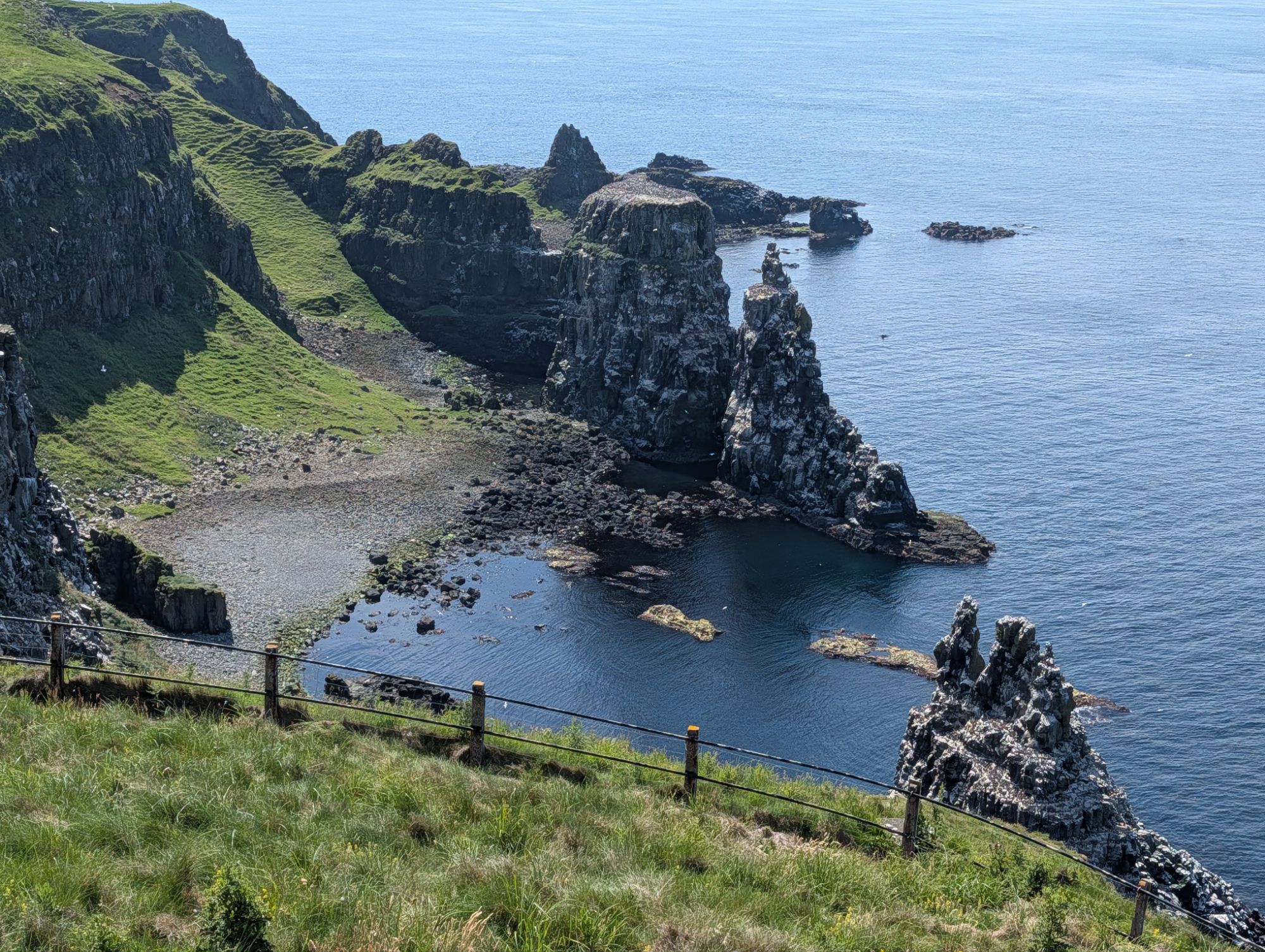
A rock pillar in the distance
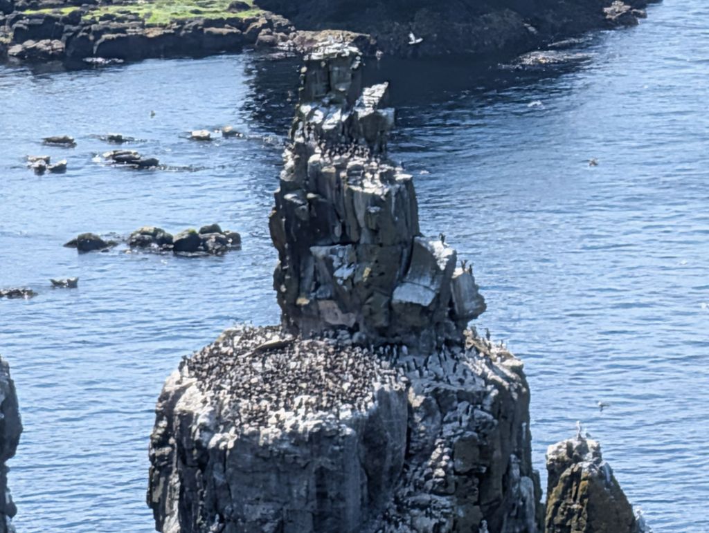
A closer view reveals a covering of birds
….closer still
… and on maximum zoom with a Pixel camera
Guillemots, the most numerous of the birds in July, with one fulmar sharing the ledge
Kittiwakes
Puffins with their nesting holes
A fulmar
The reserve extends over two rocky bays. This is the Northern one.
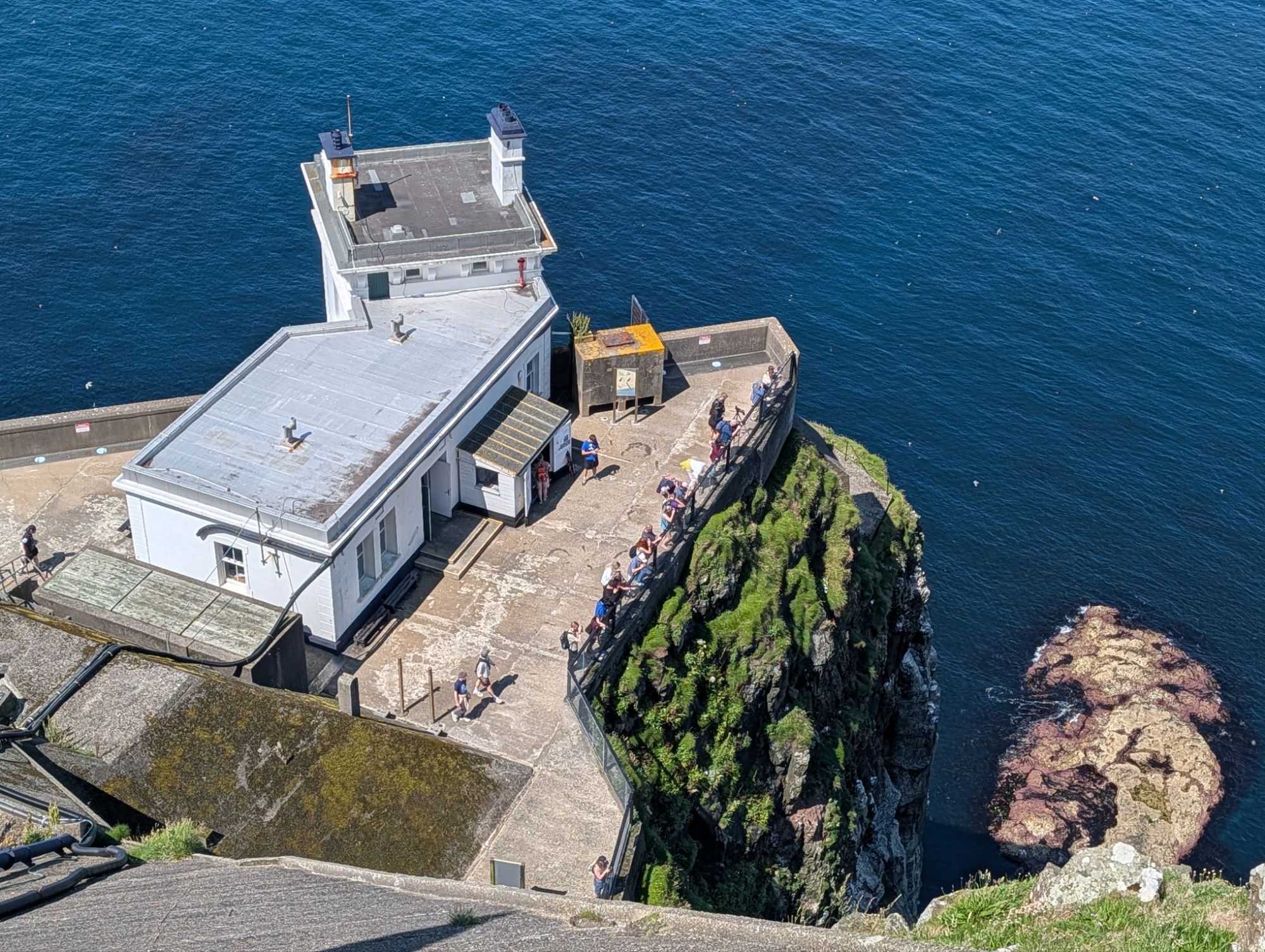
The top of the lighthouse, which is upside down, with the light at the bottom. The best views are from the lighthouse upper level – binoculars are included in the entrance price.

Seen earlier from the sea. The mass of concrete stabilises the cliff. It’s a stiff walk up and down.

How to avoid a May heatwave

While the south sweltered in May, we went sailing in the Hebrides, where it was so cold and wet most of the time that we wore full winter thermals. That summary doesn’t do our mini-cruise justice, though, because we had some good sailing to interesting places.

We started with a vague idea of trying for the third time to get to St Kilda, 45 miles out in the Atlantic. So we planned to go to the Outer Hebrides in the hope that a weather window would emerge later in our fortnight on board, when the warm high pressure over the south of the UK moved north. In the event, it pushed a weak ridge north for the briefest of spells, then retreated again.

The sun came out for a while in the Sound of Mull, but lots of warm clothes were still needed.

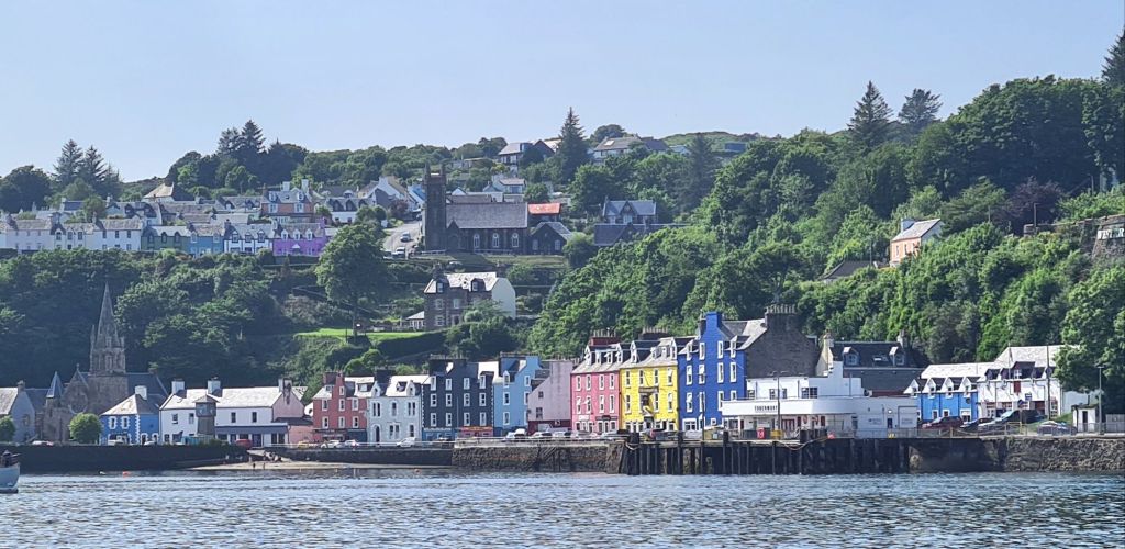
Since it was the first cruise of the season, we drove the 500 miles to Oban, instead of taking the train, and loaded the little ferry to Kerrera with a pile of boat gear and clothes. We then spent the first couple of days fitting out Spring Fever in between the showers, before heading up the Sound of Mull in alternating sun and rain for a brief stop at Tobermory.

We were beating and then motor-sailing into a northwesterly headwind whose direction bore little relation to the southwesterly everywhere else. Sometimes the wind blows one way at the south of the sound and the opposite way at the north, as it bends round the hills.

After a night on a buoy at Tobermory we headed for Canna, the most attractive of the Small Isles, just west of Skye, on a murky morning with an initially strong southwesterly Force 5 to 6 on the beam, giving us a good turn of speed.

Ardnamurchan lighthouse on the way to Canna

As at Tobermory, we did not fancy the idea of inflating the dinghy in the rain, so we spent another night on a buoy, which sadly meant spurning the delights of the Canna Cafe’s sea-weed rich food. (Their recipe book is full of information about how to gather and cook different types of seaweed).

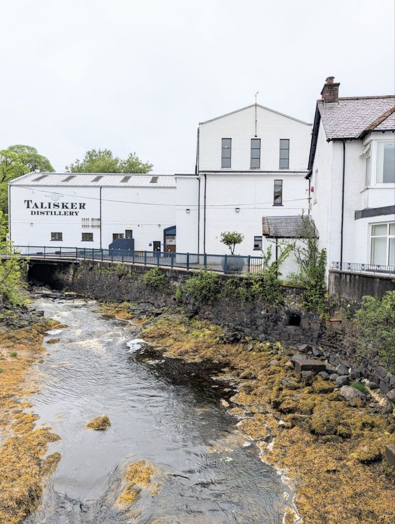
Next morning we left in a murky southerly Force 6 with gusts of 7 at times, with visibility down to less than half a mile, and headed north for Carbost in Loch Harport, Skye, home of the Talisker Distillery. There seemed no point in working too hard when a reefed Genoa alone got us going at 6 to 7 knots, so we did not bother raising the main.

Talisker Distillery, Carbost
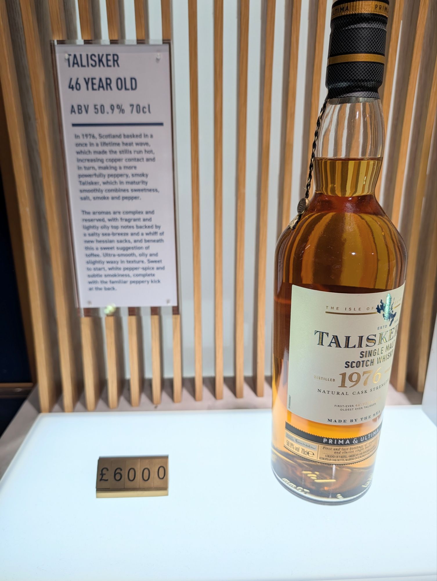
A pricey malt

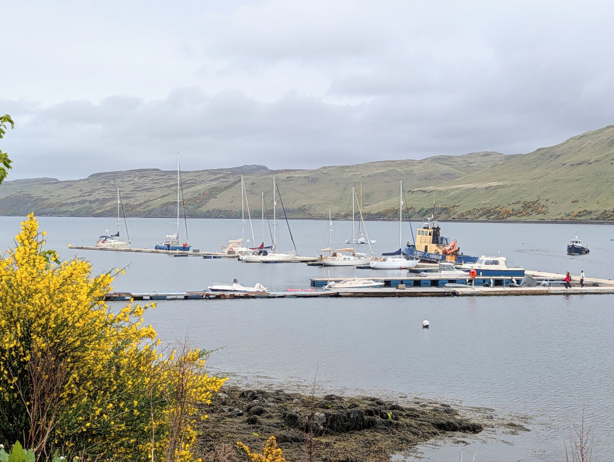
Carbost has a long pontoon with finger pontoons attached. Facilities on them are non-existent, with no pontoon lights, water or electricity. There are showers in the village but they were out of order. That all sounds bleak, but the local volunteers who manage the pontoons are very helpful.

Pontoons at Carbost

The village has a nice old fashioned pub, which we discovered over dinner had rather average food. During the day, the Talisker visitor centre was packed with tourists from all round the world; it sells Scotch from £46 a bottle up to £6,000.

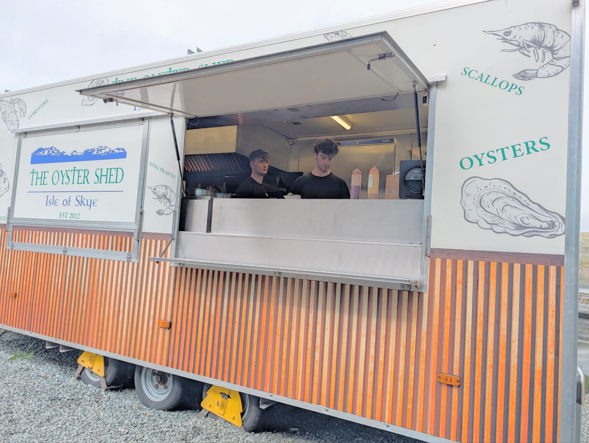
The Oyster Shed cooking and serving van. The big main shed where shellfish is prepared and sold is next to it.

There’s also an expensive restaurant run by the distillery, which was booked several days ahead, and the Oyster Shed 10 minutes walk up the hill, which suited us a lot better. The owner used to run an oyster farm that was wiped out by disease, and switched successfully to retail. The Shed sells raw or cooked oysters, soft shell crab, scallops with garlic, lobsters, langoustines, prawns and kippers. We went two days running for a delicious lunch, sitting at benches.

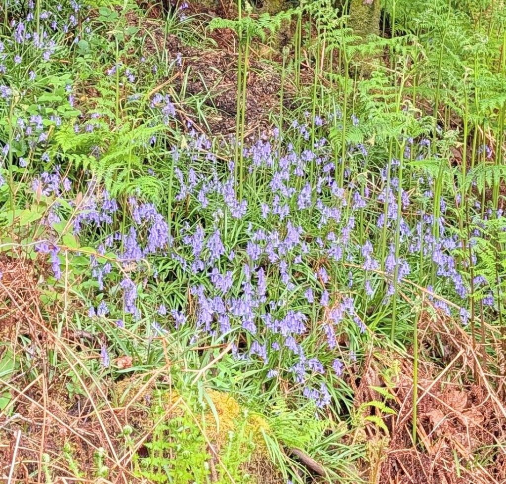
There were bluebells everywhere in the lanes near Carbost, and we also noticed that wherever we stopped in the Hebrides there was always a persistent cuckoo near our mooring.

Finally, on a cold, damp and windy Sunday morning, we decided to wait in Carbost no longer, because the brief forecast window of good weather for St Kilda had shrunk, and was now only from Tuesday to Thursday. Monday’s weather forecast looked worse than Sunday’s, so there was no point in waiting. We needed to be in Lochmaddy on North Uist to be in easy reach of the Sound of Harris, the passage through to the Atlantic.

The south-westerly wind would be funnelling straight into the Loch Harport entrance as we left, so we had no illusions about what it would be like – banging into short steep waves, hit by strong gusts off the cliffs, of which the worst were registering Force 7 apparent over the boat. That’s a true Force 6 plus our 6 to 7 knots speed to windward. As an old but fast cruiser-racer, Spring Fever leaps into action with that sort of weather, double reefed on main and genoa.

Once we were out, and well clear of the entrance, we were away from the funneling effect of the cliffs, and we settled down for the rest of the lively 45 miles to Lochmaddy. It was another murky day with poor visibility, and we arrived at a time of sudden violent gusts. We moored on a pontoon next to the ferry terminal.

The ferry from Uig on Skye arriving behind us.

Lochmaddy in the wind and rain is a touch bleak, but there is some grand, sweeping scenery when you can see it. The village has a marina with shower, lavatory and washing machines, a shop which also has a diesel pump where cans may be filled for boats, and a big, friendly hotel where we had dinner in the bar.

There we studied the updated forecast: that nice weather window was shrinking again. It now lasted from Tuesday morning to the middle of Thursday, when it began to break down into a rainy south-westerly 5 to 7 which would blow all Friday.

St Kilda’s harbour is a half circle bay, fully exposed from east through south to southwest to wind, waves and long distance Atlantic swells. If swells are too big, landing a dinghy could be difficult, even if the local wind-driven waves are modest. The forecast westerly swell would refract round into the bay, with 2.4 metres predicted for Tuesday, dropping only slowly the next day. The wind forecast also turned easterly after a while, far from ideal for getting back again. With the swell forecast and the continual shortening of the weather window we decided not to try, and instead to use the next couple of days of better weather to visit Barra, the southernmost of the Outer Hebrides.

There were many dolphins in pods of up to half a dozen on the way down to Barra
Blue, but cold

On a sunny morning with cold but light winds – the first good weather we had had – we motor-sailed 45 miles down the coast and moored on a pontoon in the marina at Castle Bay, the main settlement on the island. (Pontoons, not anchoring, were out preference this time, since Tony had a new knee and I had a new hip, both installed over the winter).

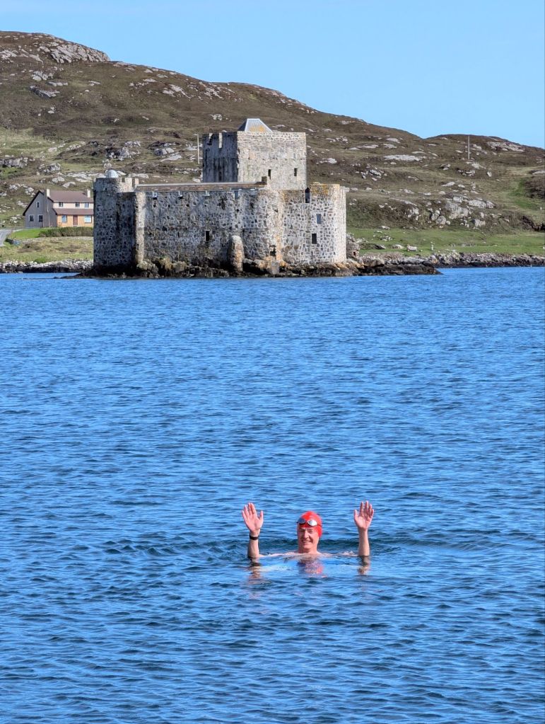
Michael goes for a swim in front of the castle after which the bay is named

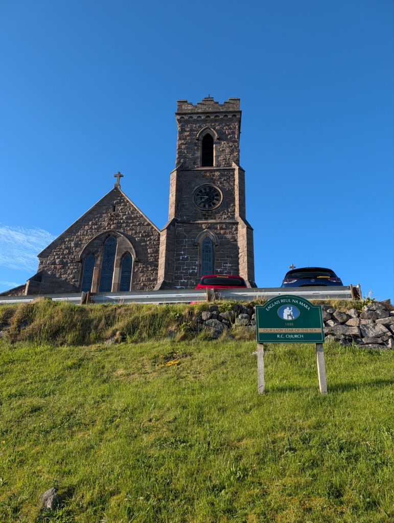
The Reformation did not reach Barra, which is still a Roman Catholic stronghold with a large Victorian church, built to replace the old one at a time when Castle Bay was one of the richest and most important herring fishing ports in Britain; the bay is still lined with the foundations of gutting and salting factories.

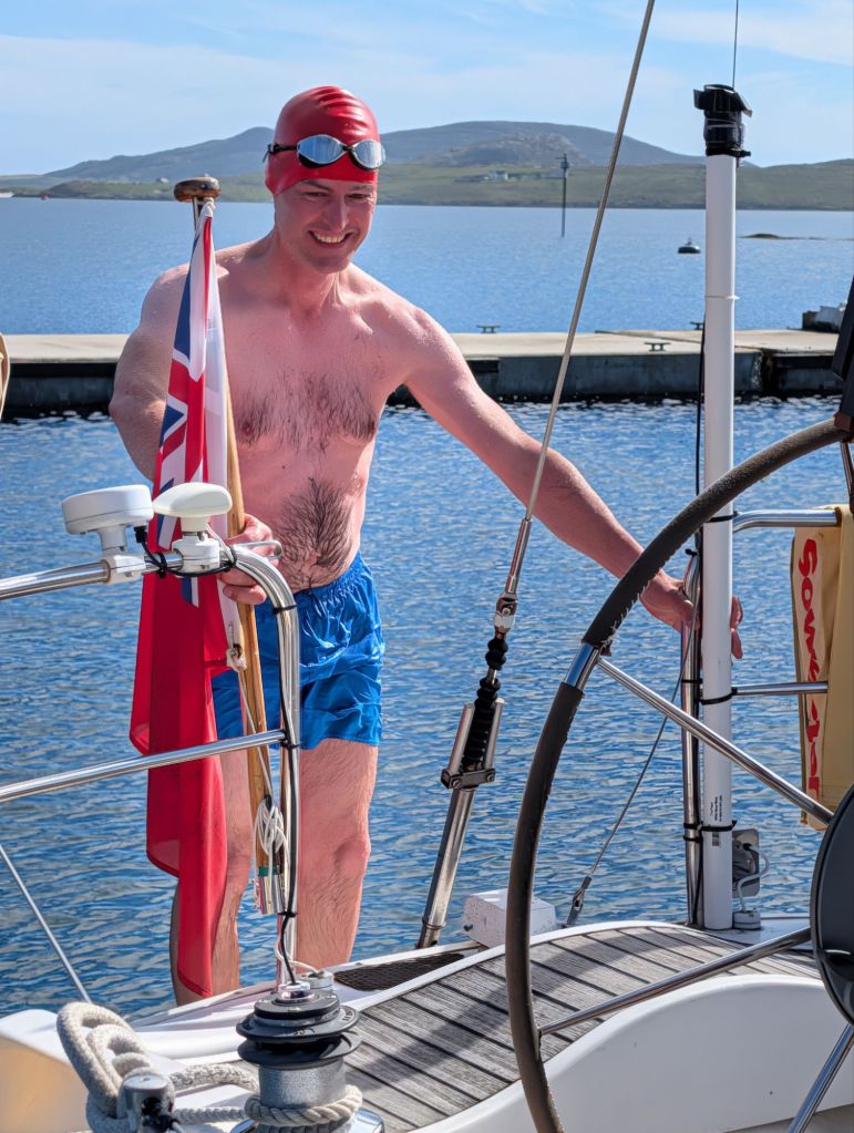
Water 11.6 degrees, according to the boat’s instruments
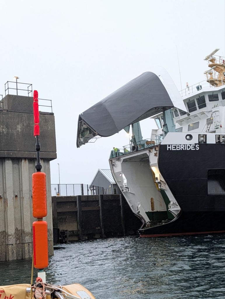
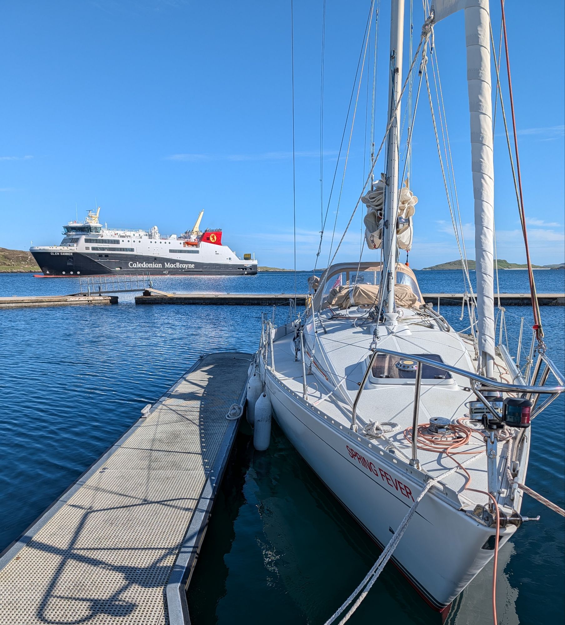
A recent addition to the Caledonian MacBrayne fleet, the Glen Sannox, arrives from Oban. It was seven years late in construction and the total cost with its sister ship Glen Rosa was around £460 million, compared with a £100 million initial budget. Glen Sannox broke down several times in its first year and needed £3 million of repairs. Islanders are angry with CalMac and its unreliable ferries.
Our Lady of the Sea

 We left Barra on another bright but cold morning, with light winds, so we motor-sailed much of the way across the Sea of the Hebrides back to Tobermory.  As we entered the sheltered bay in front of the village, the temperature shot up to the low twenties, the sun came out and we were briefly down to shirtsleeves for the first time since we arrived.

Suddenly it’s summer, for a few all too brief hours
Tobermory next morning in the sun

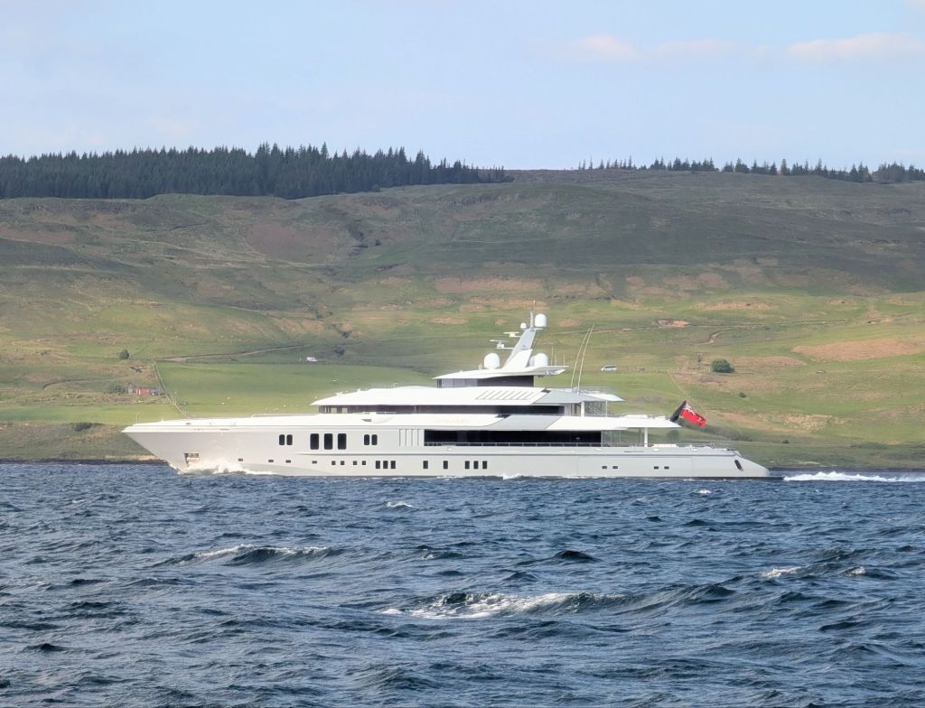
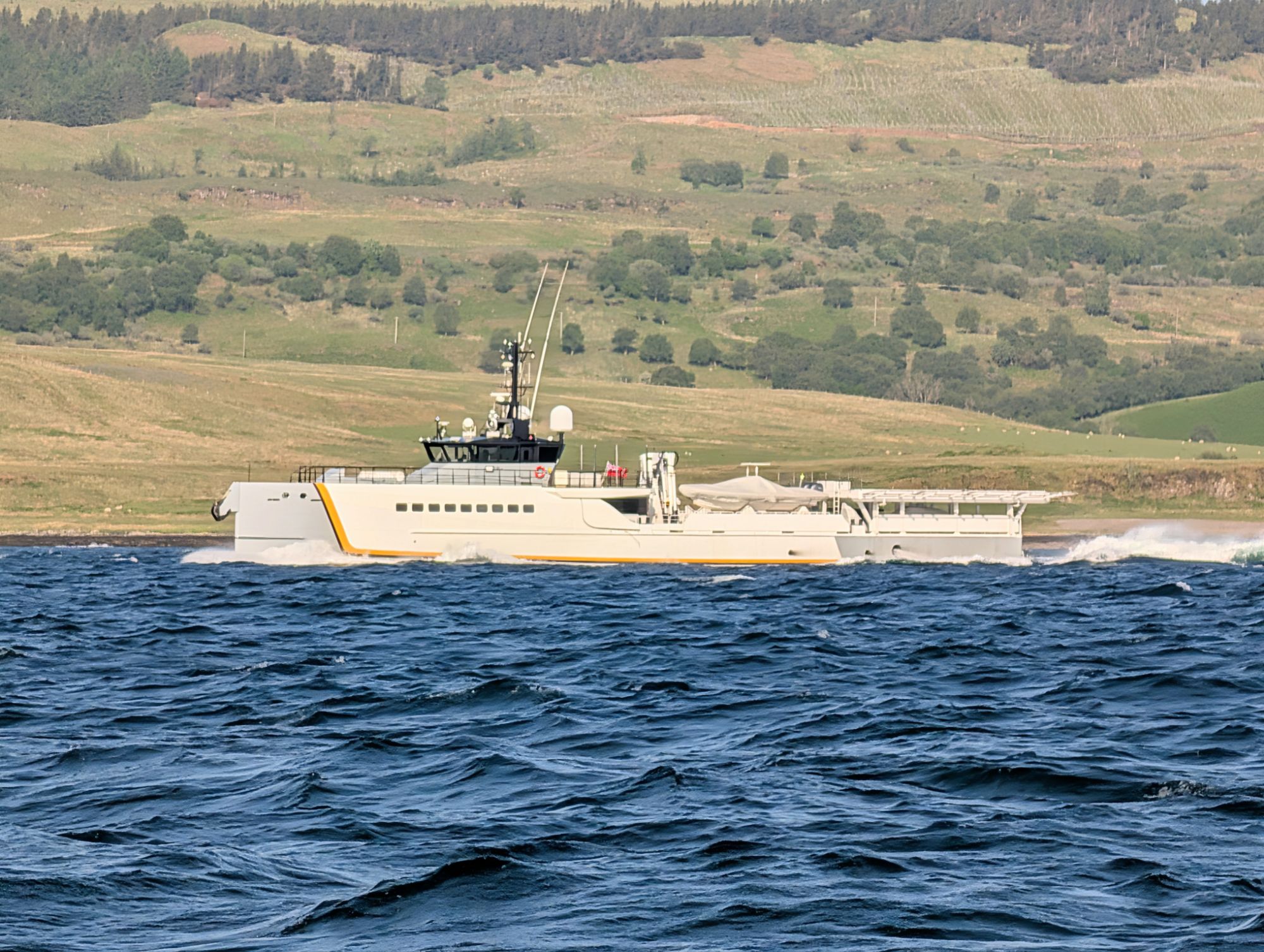
Next day, we headed back down the Sound to Kerrera and Oban. On the way we were passed by two boats which we had seen anchored off Kerrera before we started out the week before: they were Mogambo, a 77 meter super-yacht belonging to Jan Koum, co-founder of WhatsApp, and its 55 meter helicopter tender Power Play. It’s interesting what you can discover through the AIS automatic identification system we have on board.

Koum’s other yacht, Moonrise, is much bigger, at 100 meters, and it has it’s own helicopter tender. The beauty of Scotland is enough to attract the super-rich away from the Med and the Caribbean in spite of the cold, though I guess the air conditioning kept everything at a lovely temperature, so they only had to enjoy the view.

Mogambo
Power Play, the helicopter carrying tender, with its curious paint scheme making it look like two different boats

Back in Kerrera, we found the mainland temperature stilll 8 or 10 degrees higher than in the Outer Hebrides, but with the wind building and heavy rain due soon. Dinner at the Waypoint restaurant was a good way of signing off the fortnight.

LIke most first cruises after layup, a few problems were revealed. The marina will replace the unreliable bow navigation lights with new LEDs, and install a new masthead VHF aerial. The current one is 18 years old and we think it is deteriorating because performance is not as good as it ought to be. When we return in July, Spring Fever should be ready for the 700 miles back to the south coast.

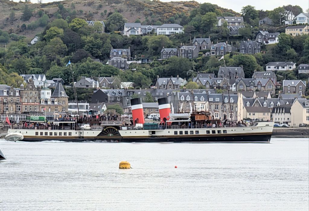
The paddle ship Waverley was visiting Oban on her regular tour of the UK , offering day trips wherever she stops. Waverley will be on the Thames for a few days this summer.

Drifts of bluebells on Kerrera

We were disappointed that we did not get to St Kilda, but the underlying reason is that our recent cruises have been limited by many other commitments to just a couple of weeks, so our chances in any given holiday of catching a long enough weather window to go out in the Atlantic to an exposed anchorage are not that high. A lot of sailors in the Hebrides spend far longer on their cruises.

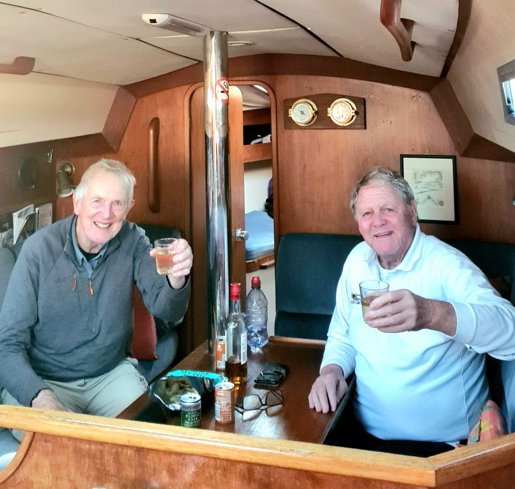
Last of the summer rum

Packed up and all ready for a serious programme of overdue winter maintenance – no, not the boat, the crew. I’ve got a date next month for a new hip joint, and the co-skipper is expecting a new knee soon after.

This nostalgic third time round Britain has been really enjoyable, but that plus other outdoor sports have been taking a toll on joints. Happily, spares are available nowadays.

Slàinte mhòr!

We hope to be fit and ready to go by the spring. With the last of the rum in the saloon locker, we raised a toast to the next season of sailing!

The long drive to Oban wasn’t wasted. We needed to be here anyway to lay up for the winter. And we did squeeze in a couple of days when the Force 5s eased down to Force 2-4. It was a chance to motor into the wind across the Forth of Lorn and up the sound of Mull as far as Loch Aline for a night on a pontoon.

Loch Aline in evening light

We took a short stroll to the village (aided by walking sticks) and back for a drink at the nearest bar, which is in the harbour office. It is only open from 4pm to 7pm, and served by office staff, one of whom also works for a new local distillery called Nc’Nean (sic). The whisky has a clean, dry taste, and is delicious as an aperitif.

The Loch Aline pontoon from the harbour bar

Next morning, we left through the shallow entrance just before half tide, with about 2 metres under the keel, and motor-sailed back to Kerrera. There was hardly any wind, but the sails were up, mainly to air them before we put them away for the winter.

Taking in the fenders as we leave Loch Aline

It all rather confirmed that excessively creaky joints are a liability on a sailing boat, and that it’s sensible, and a lot safer for the moment, to postpone serious Hebridean sailing.

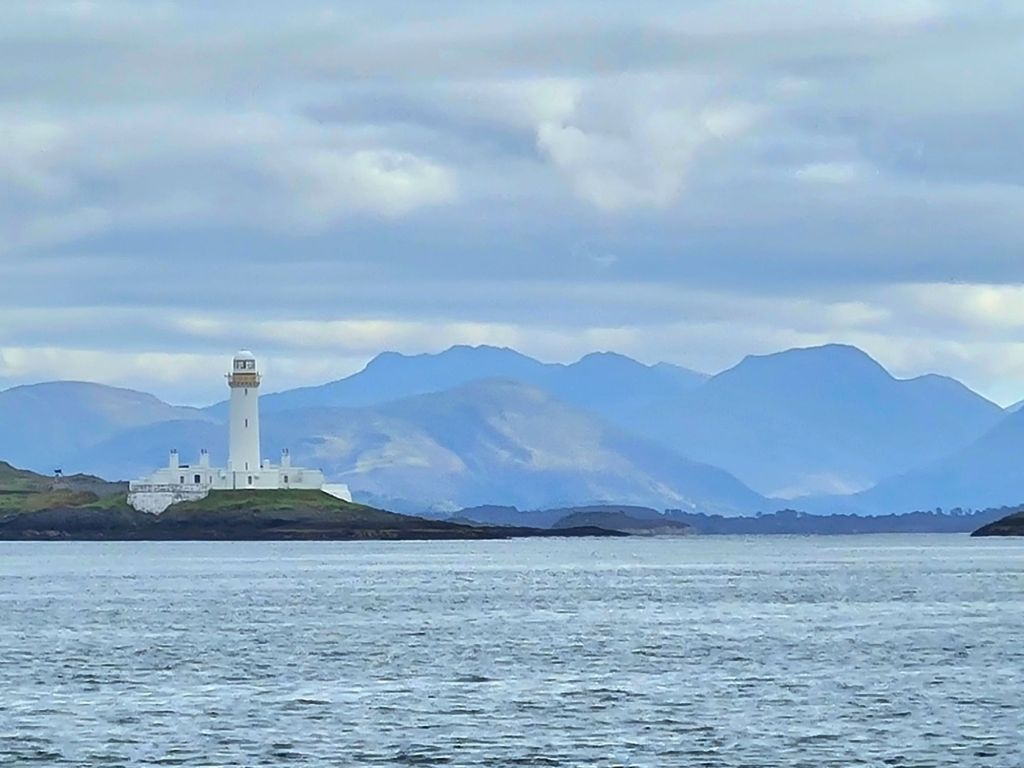
The lighthouse on Eilean Muisdile at the entrance to the Sound of Mull. It was a spring ebb so there were overfalls and small whirlpools even in flat calm weather.

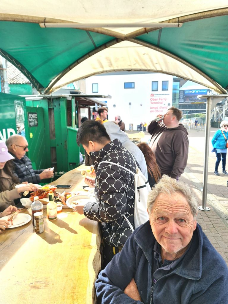
Though the much anticipated autumn cruise hasn’t happened, there were compensations while laying up: the marina has a pleasant restaurant with a view across the Bay (scallops and black pudding are particularly tasty). There’s also the Oban Seafood Hut, a 10 minute ferry ride away, for the best oysters, mussels, scallops, and crabs I know of – an excellent al fresco lunch to mark the end of the season.

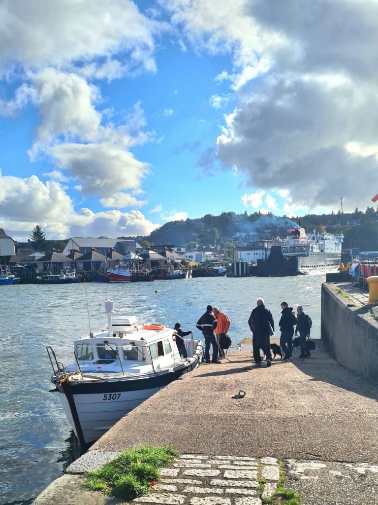
Kerrera ferry at the landing jetty in Oban
Waiting for scallops, oysters and mussels at the Seafood Hut

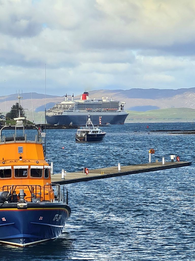
While we were there, the Queen Mary II anchored for a day off the seaward side of Kerrera. It is so huge it cannot get through the ship channel into Oban Bay. There was a constant stream of launches – each with capacity for 100 – to and from the ship all day.

Queen Mary II with the Oban lifeboat in the foreground
Passengers disembarking from a launch, Kerrera in the background

A taste of old Scottish weather in South Uist and Mull

After cruises with perfect weather in  September and May, we were bound to experience the other side of Scotland sooner or later. Rather too much of our 15 days in June was spent hiding from the weather instead of enjoying it.

The first plan was to head for Barra in the Outer Hebrides and work our way up some of the anchorages on the islands as far as Harris and Lewis.

In the Sound of Mull, with the autopilot doing the work

It started well, with two days of fine weather. We went from Kerrera to Tobermory, and left the next day in gentle winds for the 55 miles to Lochboisdale in South Uist, after deciding at the last minute  against Barra. The pilot book says Barra’s Castle Bay is uncomfortable in strong southerlies and south-westerlies, and the (by then) forecast showed that was what we were about to get.

Approaching Lochboisdale

Lochboisdale Harbour is protected. The village has a bakery (fresh bread and cakes) and a hotel with a pleasant, old-fashioned bar and friendly landlord, but that’s about it. The tourist office that used to welcome ferry passengers from Mallaig has closed.

After sitting out a first day of heavy rain and strong winds on the boat and in the pub, the rain eased enough the next day to sightsee using a local bus across South Uist and Benbecula, the neighbouring island joined by a short causeway.

Lochboisdale
…and Lochboisdale harbour

Benbecula has a fascinating landscape: it looks almost as much water as land, with small freshwater lochs dotted all over it, and sea lochs coming right inland.

On the way to the island, you can see the missile launching base and the big military radar and communications sites that are an important part of the South Uist economy.

A wet and windy day on Benbecula

After buying stores in the village of Benbecula we stopped off on the way back at the South Uist Museum, which is well worth a visit: it tells the story of the tough lives of the crofters, including the forced clearances in the 19th century that led many to emigrate. Now much of South Uist is owned communally by the islanders. As in Barra, Roman Catholicism survived the reformation and is still the main tradition on the island.

There’s a museum section about the island’s deep gaelic culture and the rich tradition of story telling and singing that persisted there long enough for it to be studied, collected and preserved.

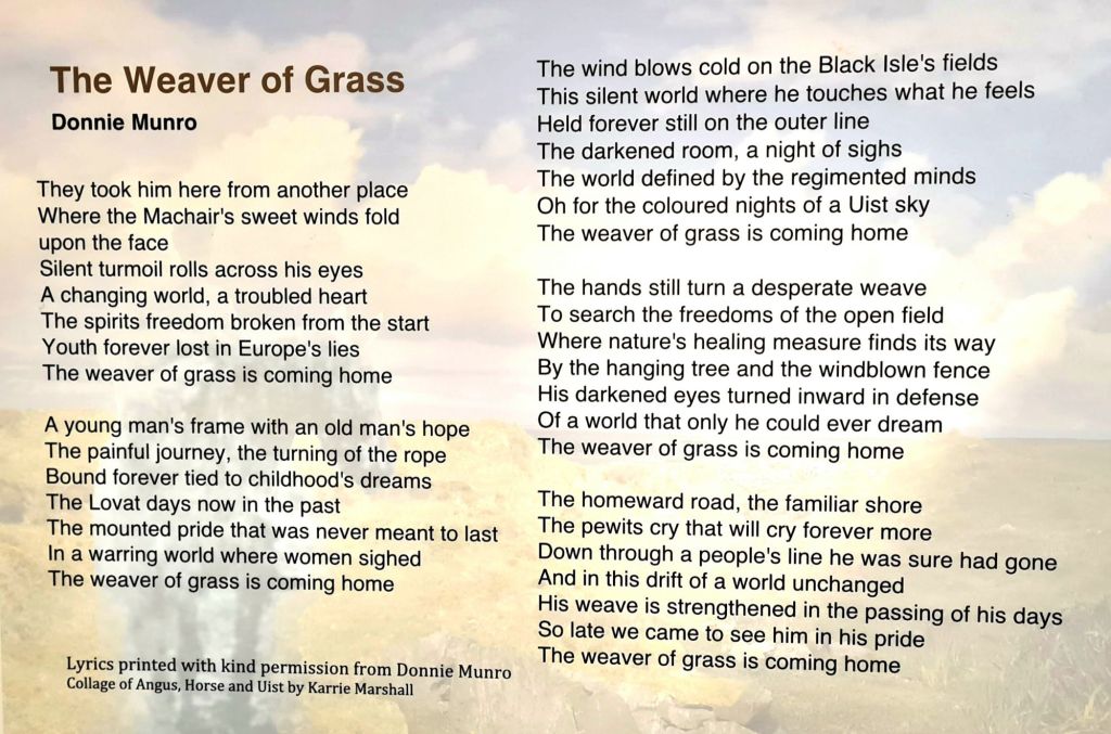
It includes a touching connection with modern Scottish culture in the words of a song by Donnie Munro of the ’90s band Runrig. It’s called The Weaver of Straw, and is about Angus MacPhee, who came back to South Uist so traumatised after serving in the army in WWII  that he never spoke a word for 50 years. His sole pursuit was weaving straw into familiar and fantastic shapes.

Donnie Munro’s song – see next page

After three nights sheltering in the very well protected Lochboisdale marina, we decided to go back to the mainland. It was clear that in two days time another series of depressions was going to pass close to the outer Hebrides so we’d just find ourselves stuck in the next anchorage north.

So we sailed back the 60 miles to Loch Droma na Buidhe (a.k.a. Drumbuie) on the mainland in 9 hours, averaging nearly 7 knots, with the wind on the beam, the fastest point of sailing, with intense small showers scurrying across our course and occasionally catching us. It was much the best sail we’d had all year.

After anchoring for the night in peace and quiet we sailed 5 miles to Tobermory for a pontoon berth. There were strong winds forecast right through till Saturday night, so there we stayed, taking the opportunity to see some of the island and do outstanding repairs and maintenance on the boat.

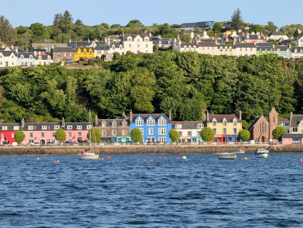
Tobermory
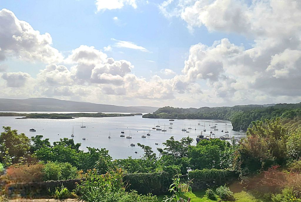
Tobermory Bay from the bus across the island
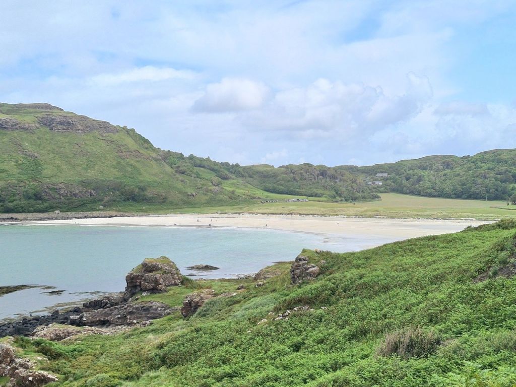
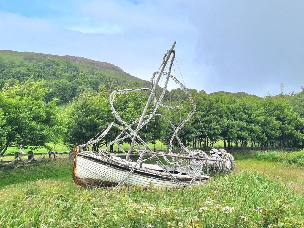
We went by bus to Calgary Bay for a walk. There is an excellent cafe tucked away, and an interesting arts centre with a sculpture trail
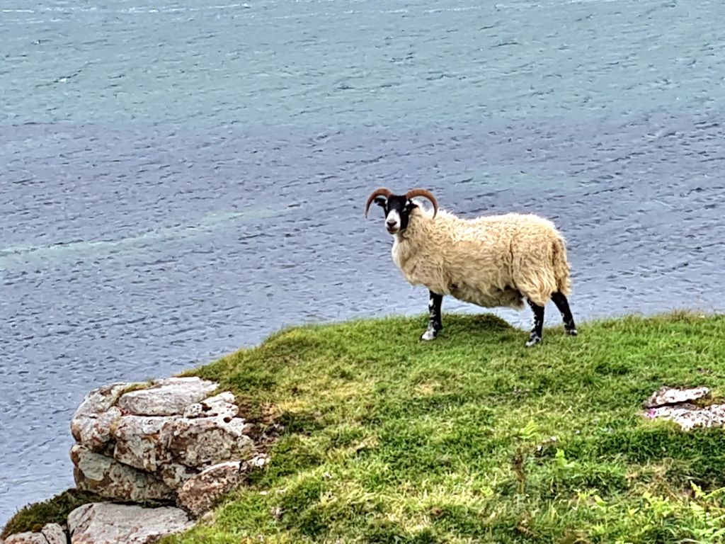
Sheep roamed round Calgary bay
On the sculpture trail
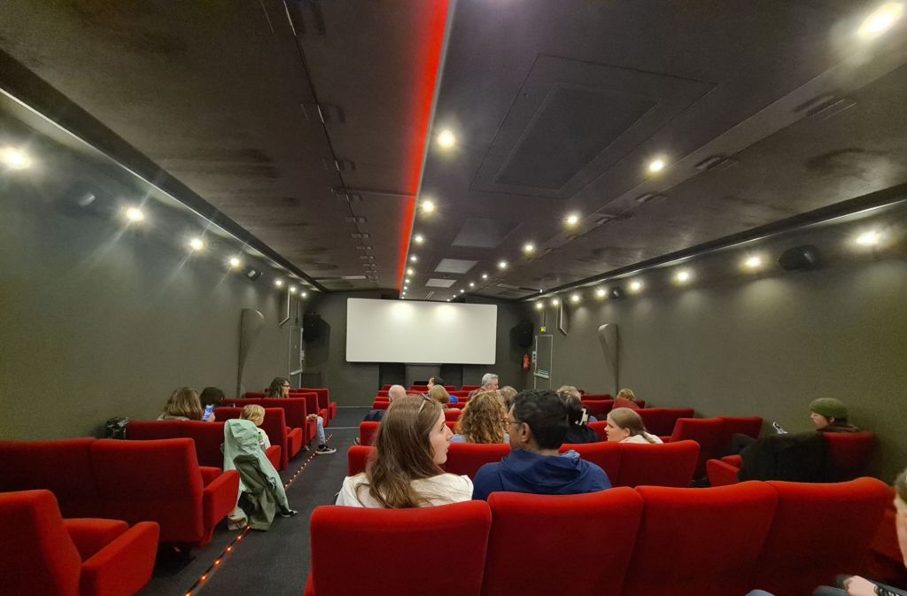
We twice went in the rain to an 80 seat mobile cinema which was in Tobermory for a week. It is in a truck that expands sideways like an accordion.

When the rain cleared and the wind eased for a few hours on Sunday we had a sunny morning sail 15 miles down the Sound of Mull to Loch Aline, which is pretty and sheltered.

The head of Loch Aline before the rain and wind

Plans to go for a walk ashore were abandoned next day in heavy rain, because we’d be soaked in the dinghy. So we stayed at anchor a second day and night, read, played backgammon and watched old iPlayer and Netflix downloads.

Rainy Monday in Loch Aline.
Sunny Tuesday, Loch Aline

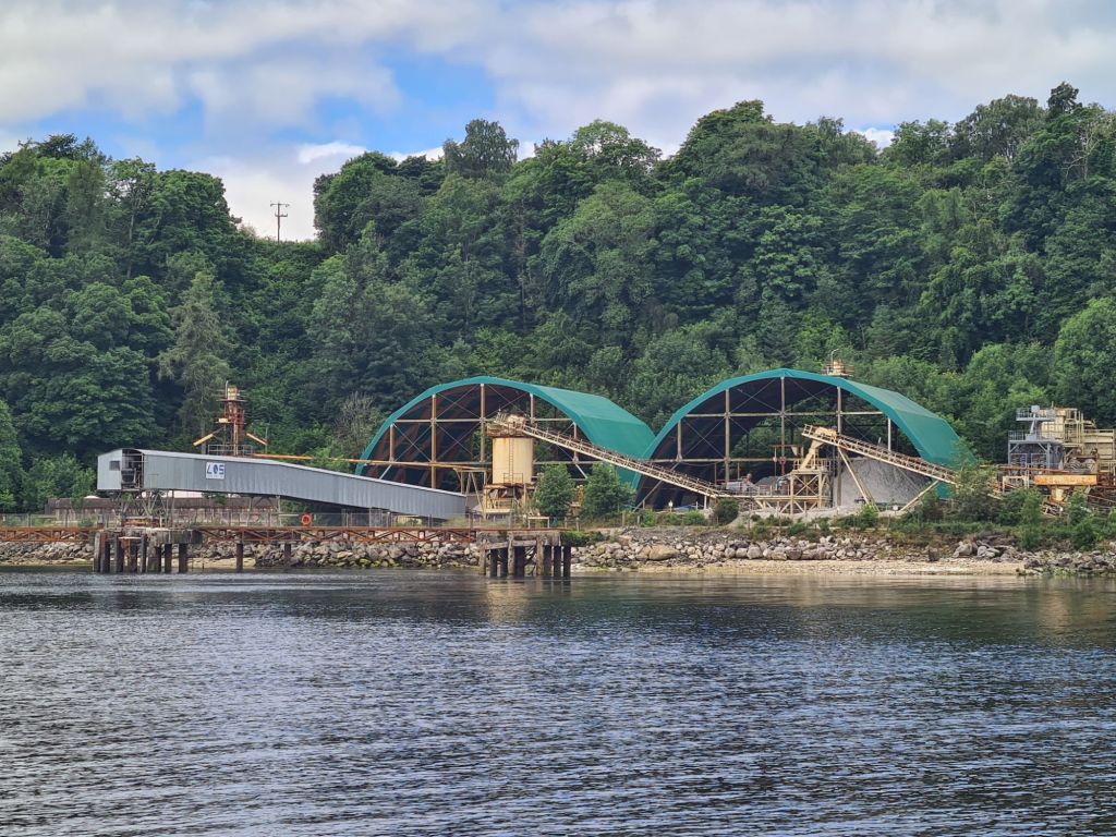
Loch Aline is pretty, sheltered and has a thriving village near a quartz sand mine, which is used for making high quality glass. It’s said to be the only sand from an underground mine in Europe. Quartz is a valuable material and the tonnages aren’t large, so the facilities aren’t intrusive.

Sand is loaded onto ships here in Loch Aline
The waterfall to the left of the ruined castle in the Sound of Mull is one of the ‘Widows Tresses,’ which fly back up the cliff into the sky like fountains, in strong west winds – I’ve seen them do it.
Nearing Loch Don: Duart Castle at the south end of the Sound of Mull

From Loch Aline, we sailed a gentle 12 miles to Loch Don on Mull, a good place for watching wildlife. The channel into the loch is narrow, muddy and winding, almost like a Suffolk river. Once in, it is well sheltered. We anchored overnight in the deepest pool in the loch, all of 6 metres, which makes it unusually shallow for Scotland.

Catching the last of the sun in Loch Don
Early morning neighbour, Loch Don

The hills of Ross of Mull from Loch Don

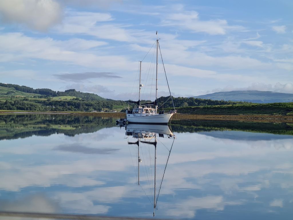
Our last anchorage of the cruise was Puilladobhrain (Pool of the Otter), a delightful, small stretch of shallow water sheltered by reefs and islets.

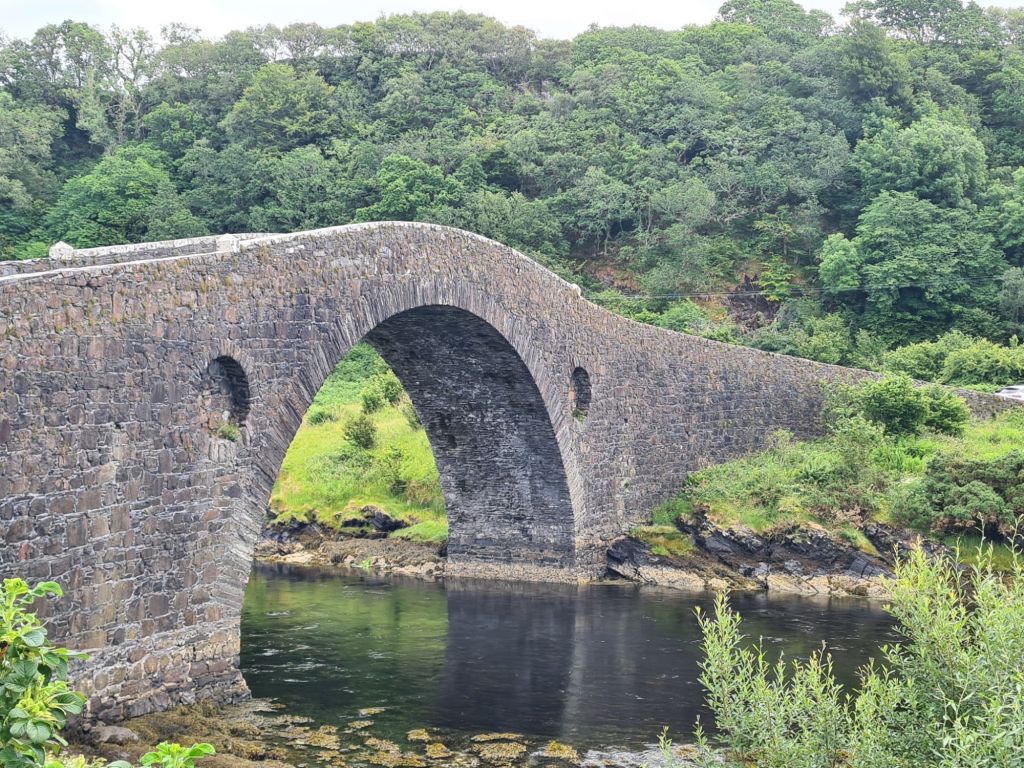
It is also one of the most popular anchorages, not least because of the lovely half mile walk over a low hill to Tigh an Truish, a pub and restaurant next to the Bridge Over the Atlantic, the old stone bridge connecting the island of Seil with the mainland. We found what we thought was the last space to anchor, until 4 more boats brought the total to a dozen.

Spring Fever anchored in Puilladobhrain
The Bridge over the Atlantic, whose slim arch can take the weight of heavy trucks.
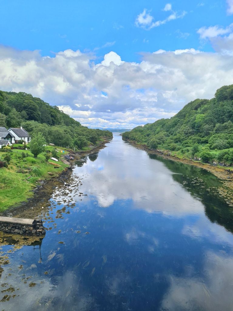
Looking north from the bridge
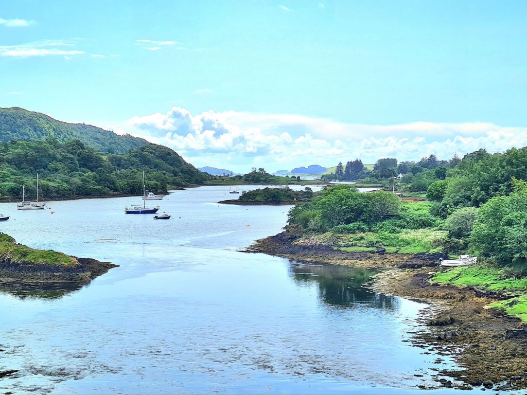
and looking south.
Lunch was in the pub garden

The forecast for the following day and the rest of the week was bad, with Force 6 and 7 mentioned, and gale Force 8 expected for a while. It was also forecast to be very wet.

So after lunch in the pub, we sailed back to our base in Kerrera to pack up ready to go home a couple of days later.

Actually, we haven’t done badly at all in our time here if we look at the bigger picture. Since September, we’ve been on board nearly 40 days, and there have only been about 8 or 9 with bad weather. They have all been in the last fortnight, but that still makes a pretty good overall score for holidaying in Scotland.

The sun shines on the Hebrides

The West of Scotland had the best weather in the UK in May, for the whole 18 days we were there. Bright sunshine, blue sea and mainly light north and east winds were ideal for checking out new anchorages and visiting old favourites, several of which we’d have avoided in any other kind of weather.

Not the deep south but Loch Moidart – another sunny meal in the cockpit.

After fitting out for three days in Kerrera Marina, we spent the first night in Loch Droma Buidhe, near the entrance to Loch Sunart.

Sunset in Loch Droma Buidhe, protected by the narrow entrance in the distance.

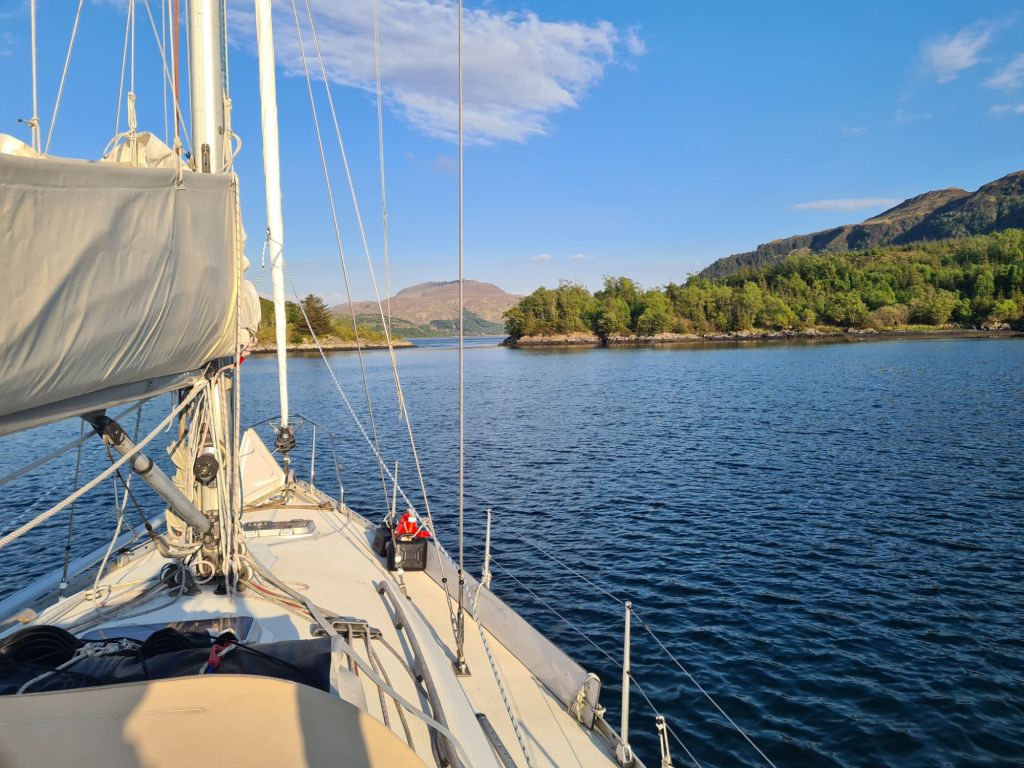
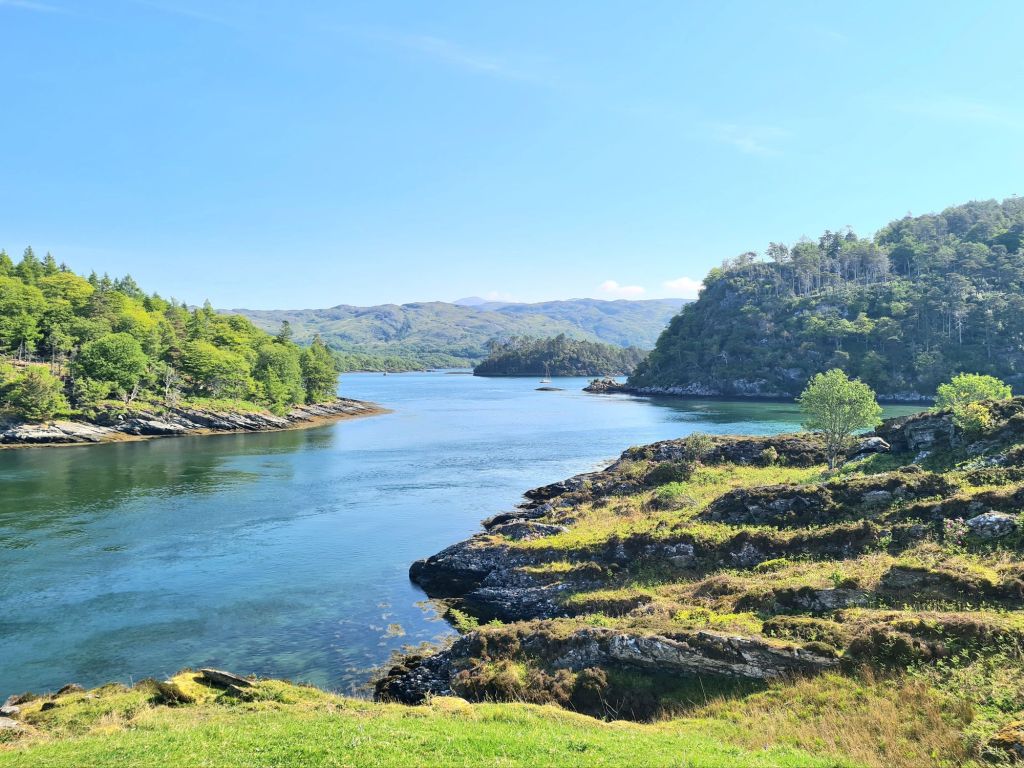
The next day we explored Loch Sunart, picking up a buoy at Salen for a lunch stop, and then to Loch Teacuis for the night, which branches off Sunart. Teacuis has a difficult, rocky entrance but opens up into a beautiful sheltered space, surrounded by woods and hills. It is close to Droma Buidhe

Anchored in Loch Teacuis for the night

Next stop was the lovely little island of Canna in the Sea of the Hebrides, timed for the Canna Cafe. Last year we arrived on a Tuesday and found that was closing day. (This year, Tuesday’s a pizza night). There’s a delicious and inventive menu, featuring seaweeds in all sorts of combinations with fish, vegetables and meat. The chef’s Canna Cookbook is a big seller which recently we saw displayed prominently in Waterstones, but we took home a copy from the café and plan to try out its advice on cooking seaweeds.

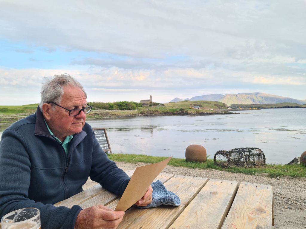
Tony studies the Canna menu
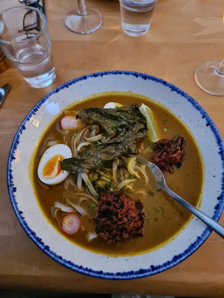
My spicey egg laksa with dulse (a seaweed) croquettes and kelp. The starter was fritters of kelp with another plant called sea spaghetti (because that’s what it looks like).
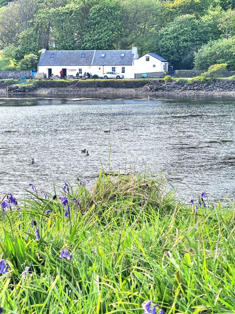
Canna Cafe

From Canna we made a lunch stop in the spectacular Loch Scavaig, which is surrounded on three sides by the dramatic Cuillins of Skye, mountains of modest height but tough reputation, which rise from sea level. The Cuillins include 11 of the 282 Munros, hills over 3,000 feet, which keen walkers in Scotland spend many years ticking off on their maps. The Pinnacle in the Cuillins is the only Munro where ropes have to be used.

View from the saloon in Loch Scavaig
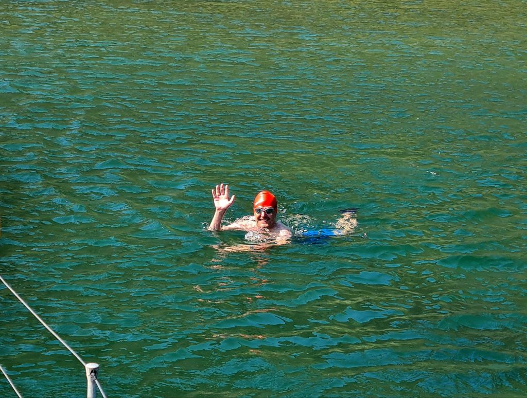
Michael went for a swim in the sheltered loch Scavaig, though at 12 degrees it wasn’t for me.

We spent the night in Loch Harport, after beating 20 miles up the coast in an unexpected Force 6, which was dropping off the Cuillins on an evening that was probably much calmer everywhere else. Loch Harport was serene as soon as we entered. It is home to the Talisker distillery.

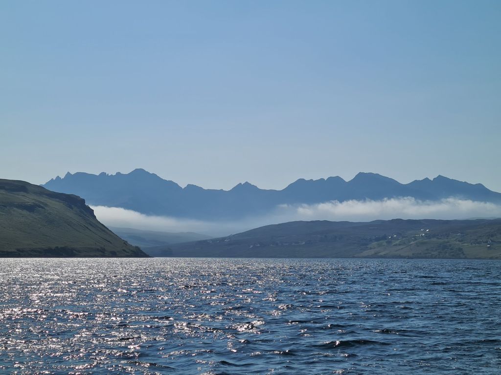
The Cuillins in early morning as we left Loch Harport

Next to see was the beautiful Loch Moidart on the mainland, last visited by us in 2013 and inaccessible if there is strong onshore wind or swell.

Spring Fever is anchored in the distance, just in front of the small island in Loch Moidart
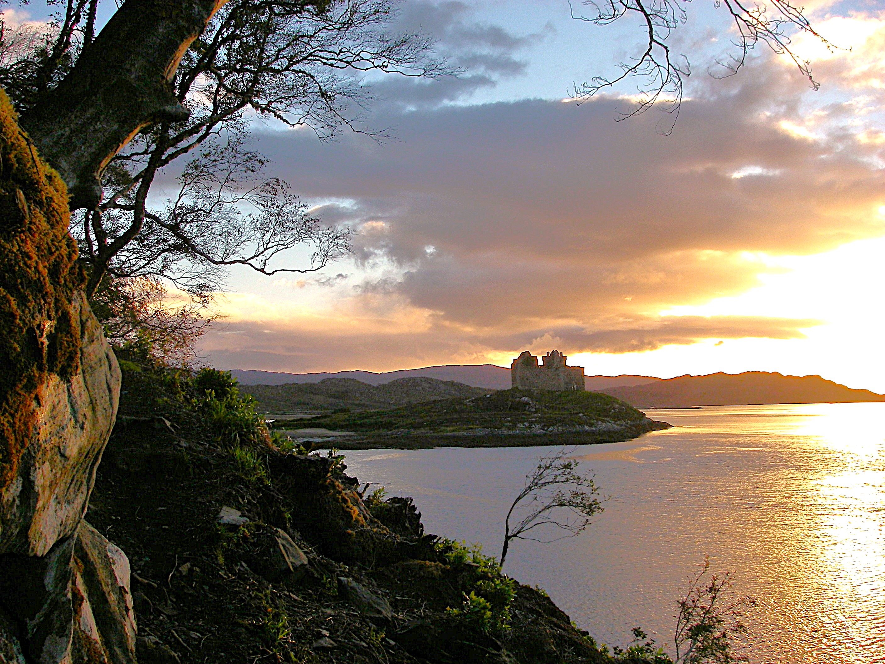
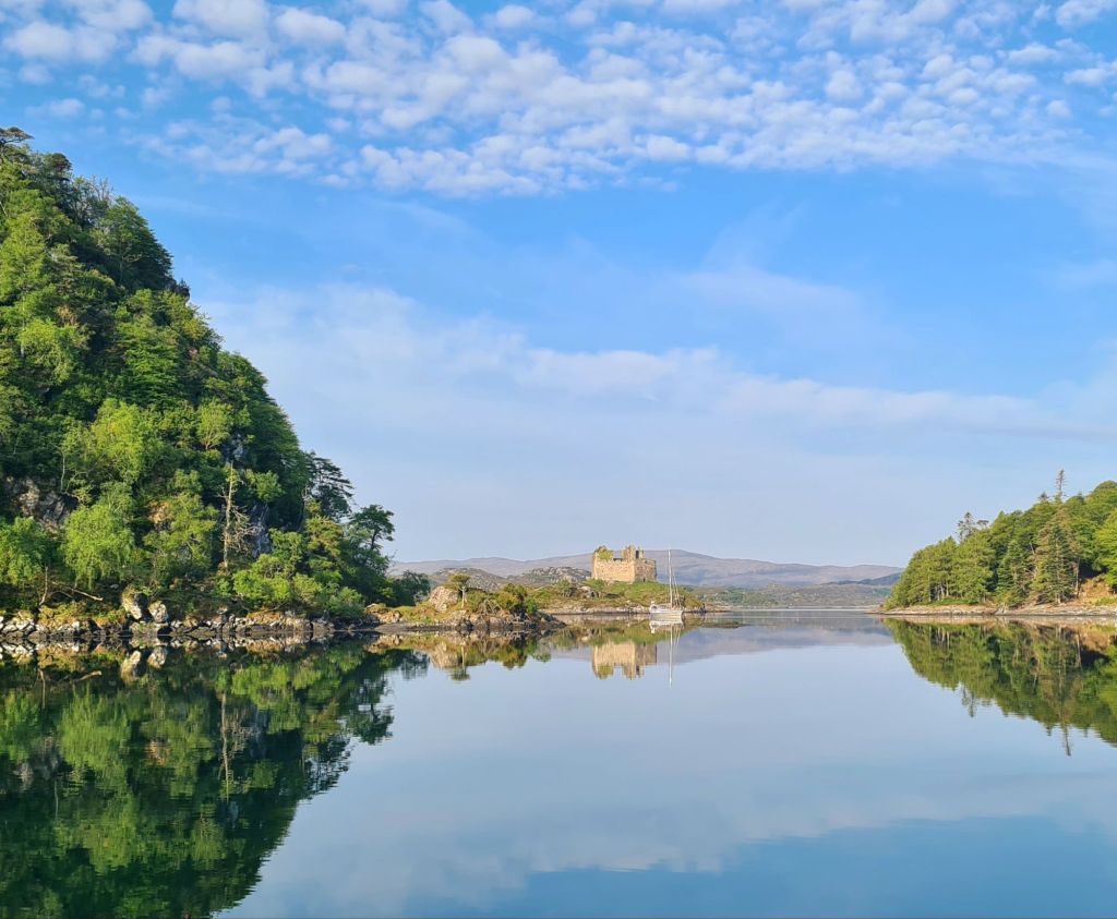
The castle, which is connected to the land by a sandy causeway carpeted in samphire
The castle seen from Spring Fever
Spring Fever at anchor in Loch Moidart

A local sailor said Richard Branson’s sister owned Shona, the largest island in the loch, which has a mansion with guest houses scattered around it in the woods and by the shore.

After a week away we spent the night at Tobermory for fuel, water, groceries and a shower, and then enjoyed a gentle day-long motorsail in light winds round the west of Mull. We went past Fingal’s Cave on Staffa, through the Sound of Iona, passing the Abbey. For photos of both see last year’s cruise book.

Next stop was Loch Ardalanish, on the south coast of Mull, which we would never have attempted without the excellent Antares large scale modern charts. They are an absolute essential for any Scottish cruise, and we first used them in 2012.

Just like off the Cuillins, the wind suddenly rose to Force 6 in the lee of the hills on our way along the coast, so we were nervous as we battled through the narrow rocky entrance – only to find a magical calm as the lay of the land entirely protected the little bay.

There’s room for very few yachts to anchor comfortably but luckily we were alone. There’s also a second even smaller branch of the loch right next door, where another yacht spent the night.

Anchored in Loch Ardalanish

Next day we tried another complicated rocky entrance, using Antares, when we motored into Inner Loch Tarbert, which took us to the centre of the island of Jura.

Loch Tarbert anchorage

After a good night’s sleep we went down the Sound of Islay with the tide, then inshore of the Ardmore islands, carefully following the Antares chart. The short cut looks too difficult on any other chart. That night was the only uncomfortable one, spent on a buoy outside Ardbeg distillery on Islay, where a nasty little chop made the boat rattle and squeak all night. (We skipped the distillery visit).

With the wind in the north, veering east, we headed for Loch Stornoway, on the mainland just north of Gigha, because it is perfectly sheltered in these conditions (but badly exposed in southerlies). The Admiralty chart labels the loch as dangerous because of the extensive reefs in the entrance, but Antares charts show a simple way through, and once inside the loch it is broad, shallow and sandy. 

Looking back at the entrance reefs from Loch Stornoway

We were so relaxed on a sunny evening that we just put out the usual 4 times depth of the chain, and had a harsh lesson as a result: there was a sudden short blast of wind from the east at 1am that ripped the anchor out of the sand. We should have been more alert to that risk after the two previous unexpected strong winds, neither of which had lasted more than an hour.

I’ve never seen an anchor drag so far, so fast and – luckily – so noisily. We doubled the chain length and went back to bed, checking regularly for the rest of the night. But Spring Fever did not budge another inch.

The wide, sandy bay of Loch Stornoway

It’s a warning for the future: even in benign conditions, Scotland can produce blasts of wind. It has prompted us to extend our ground tackle before we sail again. (We had 30 metres of chain plus 50 metres of rope, but have since doubled the rope length. A racing hull cannot take the weight of chain in the bows that many Scottish cruising boats have).

Finally, from Loch Stornoway we went to the delightful island of Gigha, with its temperate climate warmed by the Gulf Stream.

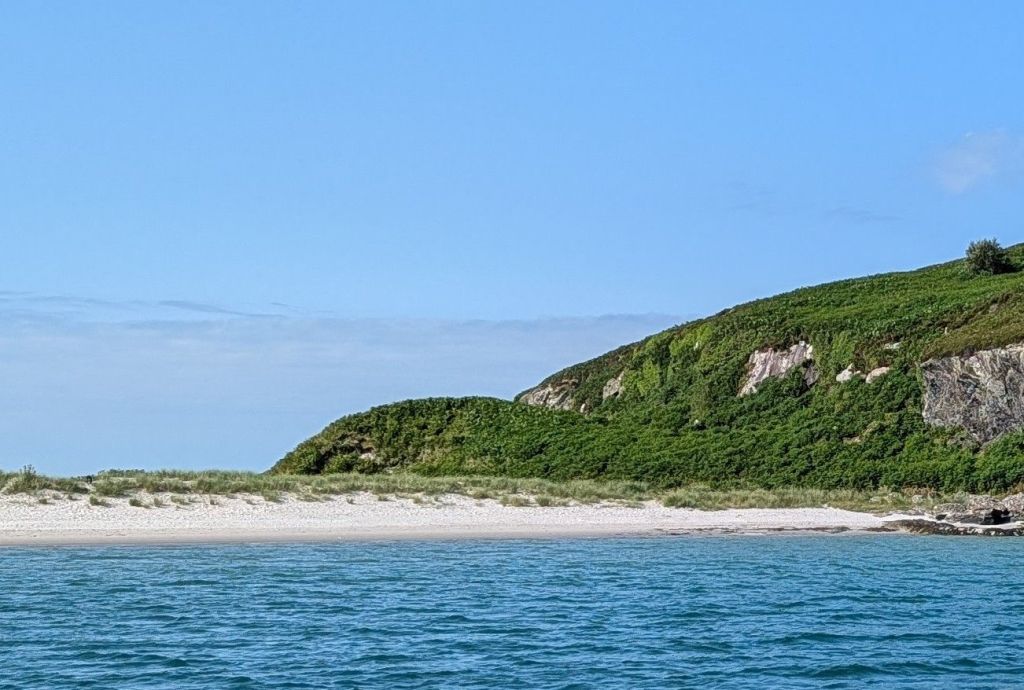
White sand on Gigha….
…the lovely Achamore Gardens, with restoration now well under way...
…a sheltered Gigha mooring in everything but easterlies….
…and lunch at the Gigha cafe. There’s also a well-regarded restaurant, but it isn’t open early in the week.

We didn’t stay the night at Gigha, deciding instead to go back to Loch Stornoway for its perfect shelter from the forecast northerly to easterly breeze and also to be 8 miles closer to home for the next day. Needless to say, we put out a lot more chain.

In the Sound of Jura

We motor sailed up the Sound of Jura, through the Dorus Mor tidal gate against a fading neap ebb tide and then north up the Sound of Luing – ferociously rough places in bad weather because of their fierce tides, but benign that day.

We gave the infamous Corryvreckan between Jura and Scarba a wide berth, though at neap tides its famous whirlpool and standing waves would be absent, and I suppose we could have gone through if we had really wanted to. 

We were back at base on Kerrera by 7pm, ready to pack up and go home. The weather broke the day after we left!

Another year in Scotland!

After planning a two-year round Britain cruise, we’ve just decided to make it three.

The more we plan, the more we find there is to see, so why rush back 700 miles to Cowes this year when we don’t have to? We’ll spend the extra time seeing more of Scotland, and head back next year.

Kerrera Marina, across the bay from Oban, will remain our base.

Kerrera Marina

Planning 2025: which islands?

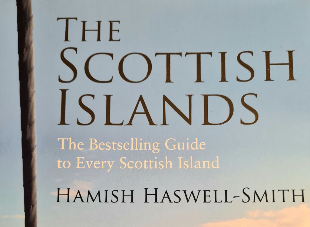
The days are longer, the pilot books have been taken off the shelf, and it’s time to think of this year’s cruise. As a first step in planning, there is nothing better to browse than Hamish Haswell-Smith’s Scottish Islands*.

Haswell-Smith has visited and written about the geology, people and history of every Scottish island, 169 in total by his definition.

The book includes brief mentions of safe anchorages, though not with the essential details of a pilot book or chart. His mission mirrors and complements that of Bob Bradfield, with his personally surveyed Antares Charts of 755 Scottish anchorages.

Haswell-Smith is an excellent preparation ahead of reading up the practical details with our copies of the Clyde Cruising Club pilot books.

With five seasons sailing in Scotland so far, we still have many island omissions, of which the most glaring is the long chain of the Outer Hebrides. We’ve called there only once, mooring for several days a few years ago in the marina at Stornoway on Lewis, where bad weather gave us time to explore by bus before we left for Orkney.

The sensible advice given at the Cruising Association’s excellent Celtic Day meeting in January was that firm plans are a bad idea, given the unpredictability of weather. We’ll decide where to go when we are on board, forecast by forecast, and of course tide by tide.

However, in the right weather, the Outer Hebrides from Mingulay and Barra up to North Uist are where we’d most like to cruise, so that’s what we are reading about at the moment. A secondary objective is to visit the west  coast of Skye.

A gleam in the eyes if we are fortunate enough to have a good weather window is St Kilda, 40 miles west of the Outer Hebrides.

A much less ambitious subsidiary plan is to visit Canna any day of the week from Wednesday through to Monday: when we  arrived last year on a Tuesday we discovered that was the closing day of the much-praised cafe-restaurant.

We have an extra consideration when planning, with neither co-owner in the first flush of youth: creaky joints.

I enjoy the peace of being at anchor. At the seminar I detected  a slightly negative view, which I used to share, of those who seek out marinas, pontoons and official moorings.

However, we do not have an electric windlass, which is quite hard and expensive to fit on an old cruiser racer design. The arm-powered anchor winch is the best we can do. It makes sense not to push our luck and our joints too hard. While anchoring is always an option, buoys and pontoons will also be welcome when we find them.

*The Scottish Islands, Hamish Haswell-Smith, Canongate, £40

Postscript – Autumn sun around Mull, Ulva, Coll, Tiree and Treshnish

After waiting all summer for summer, it finally arrived in Scotland last week, with sun, light winds, and calm blue seas.

Heading across the Firth of Lorn past the lighthouse to the start of the Sound of Mull

We were back for the first time since late July. The wind was generally from the east, so it was a good week to see the little islands west of Mull –  Treshnish, Ulva, Coll and Tiree, plus a night in beautiful Loch na Droma Buidhe and another in a sheltered gap in the rocks near Iona called Tinkers Hole. For this week, captioned photos tell the story.

Continue reading “Postscript – Autumn sun around Mull, Ulva, Coll, Tiree and Treshnish”