We left Rathlin on a mission to finish a cruise interrupted 5 years ago by Covid. We had been heading for Strangford Lough, a celebrated wildlife reserve in Northern Ireland, planned as our last stop before turning home to the Solent.
Three of the four of us caught Covid at Carlingford on the border between the Republic and the North. A crowded pub was probably the source. Delayed by a week of quarantine, we sailed for home, two flying back and another fresh crew member joining in Dublin.
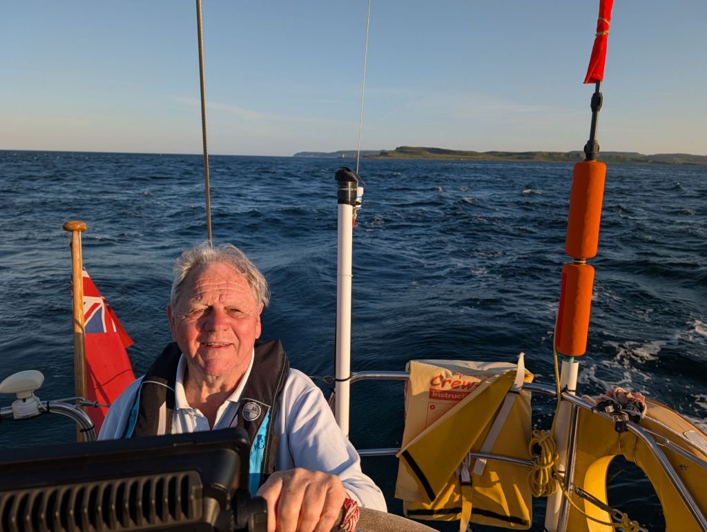
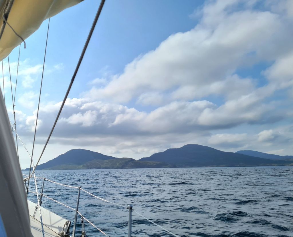
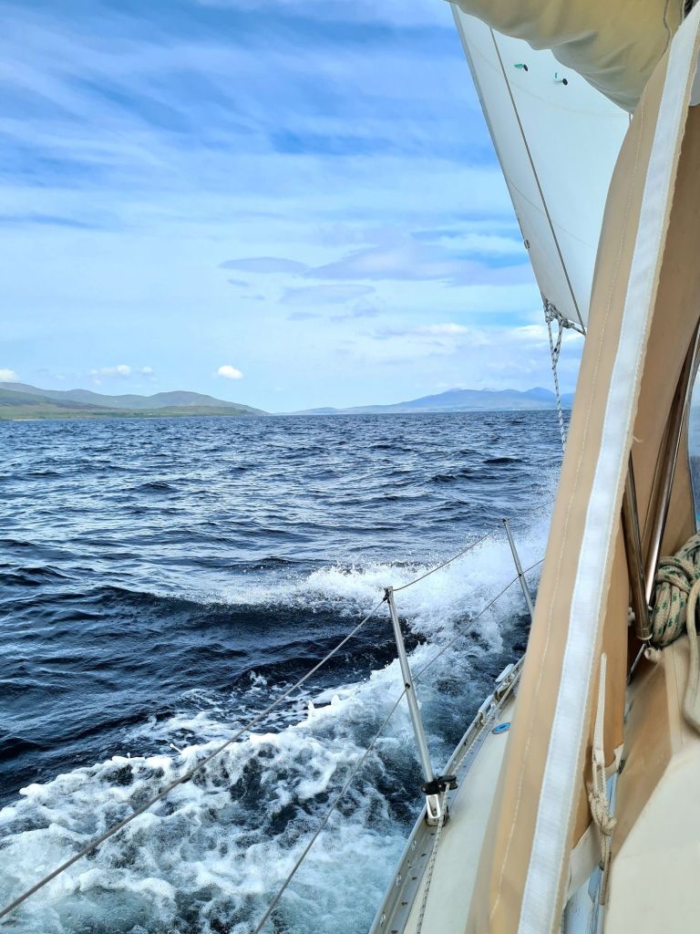
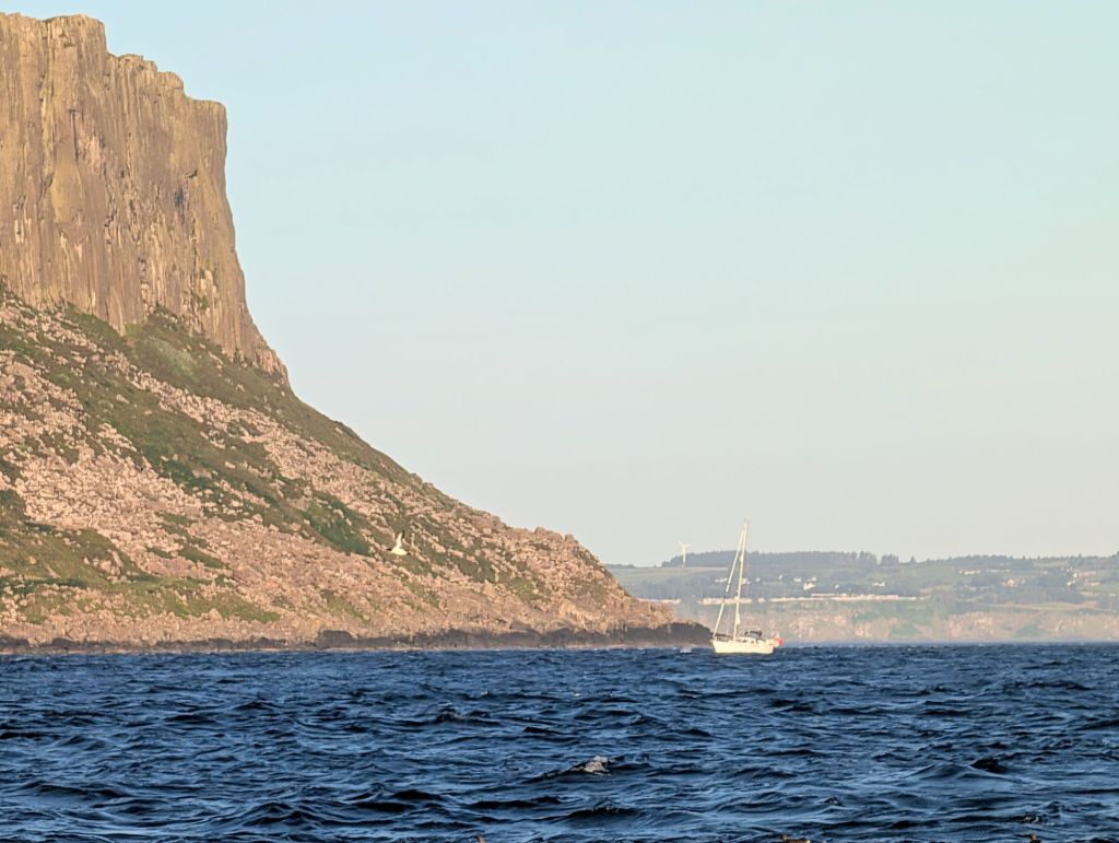
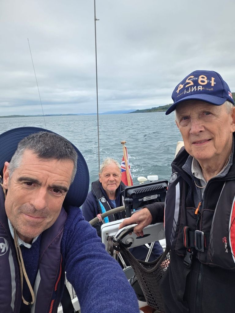
From Rathlin this time, we were immediately carried east by a fierce tide with circular eddies that made Spring Fever twist and turn as we moved along.
After we passed Fair Head and turned south, the rapid flow created a short and unpleasant chop, with the waves sometimes pyramidal and the wind too light to stop the mainsail banging and crashing around. It would have been better to go several miles out to avoid the unpleasant tide race which was flinging the boat around.
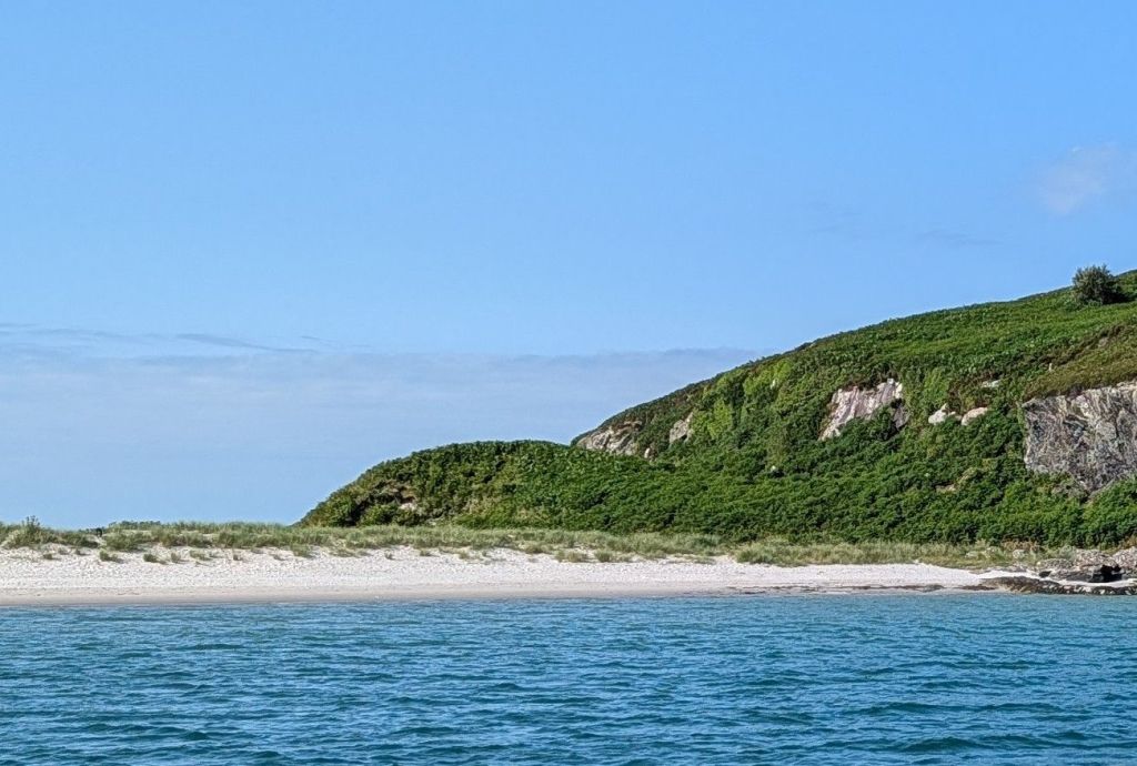
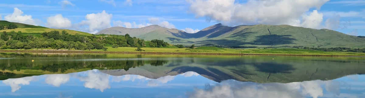
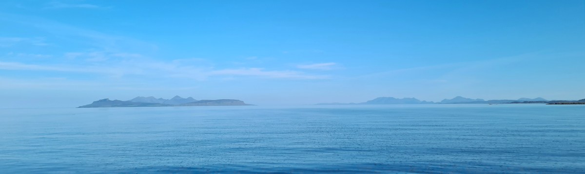
An hour later the water settled down and we could watch the beautiful Antrim coast pass by as we motor-sailed our way to our interim stop at the marina in Bangor, Belfast’s seaside town.
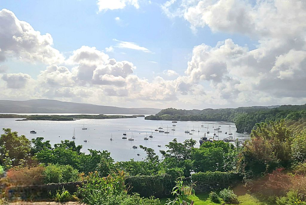
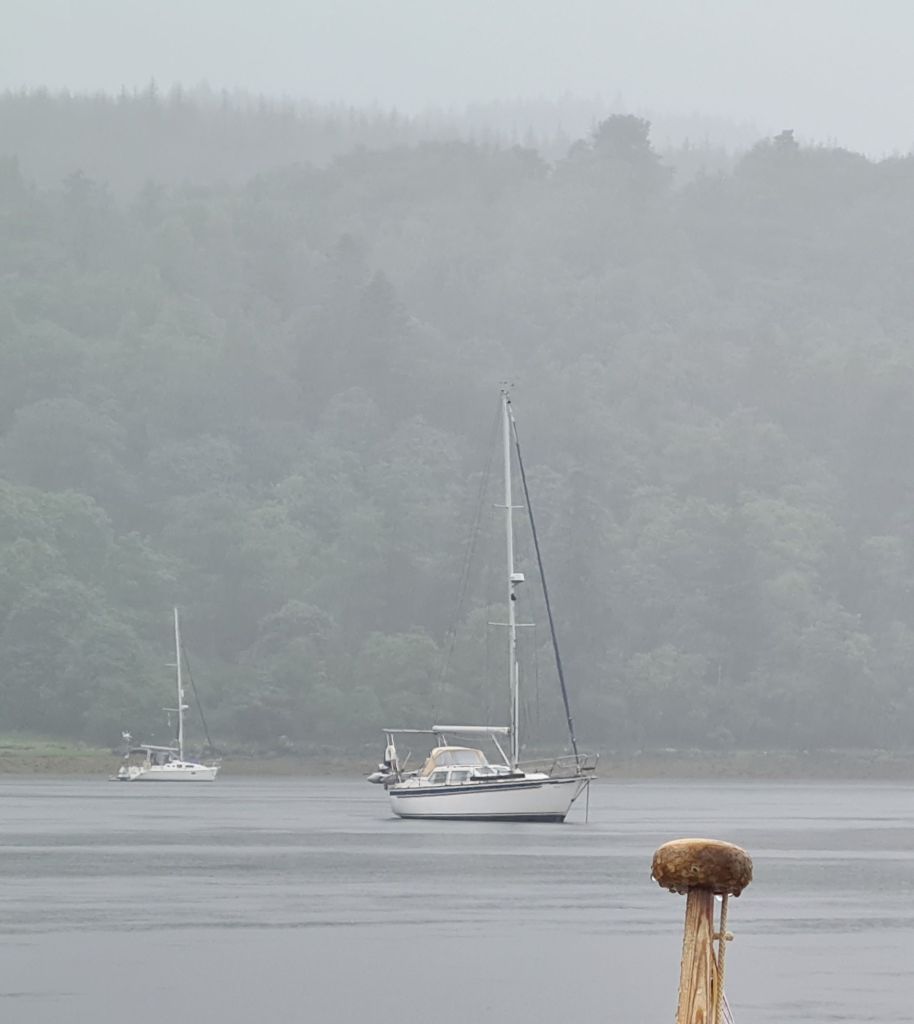
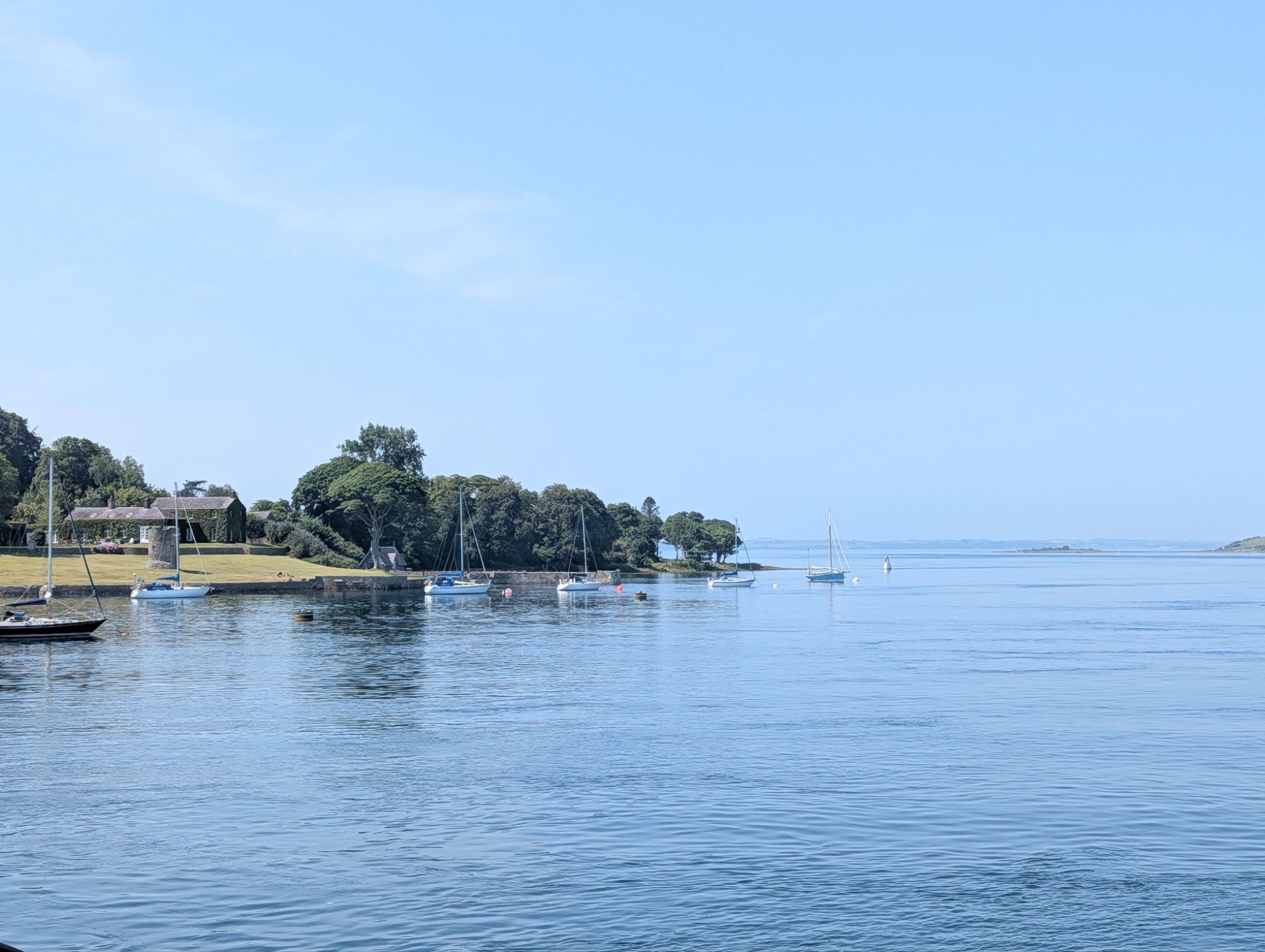
It is near enough to the entrance to Strangford Lough to be able to time arrival at the Lough precisely, which is important when dealing with water that sometimes flows like a rapid. Strangford Lough is a beautiful and shallow seawater lake dotted with islands, with a narrow 4 mile long entrance that has tides up to 8 knots.
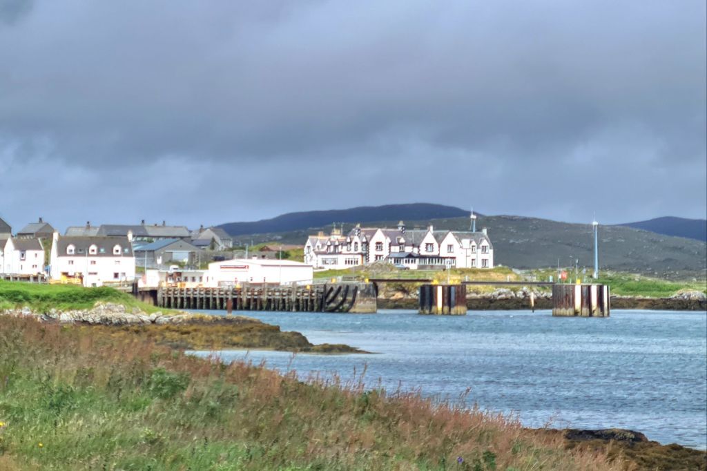
We rang the harbourmaster at Portaferry, just inside the lough. He suggested a precise time, 1400, to be at the seaward end of the narrows to catch the very last of the flood tide up towards the village. For most of the 20 minutes it took to enter, the water was actually slack. (More detail of entry and exit conditions and timings is at the end of this post).
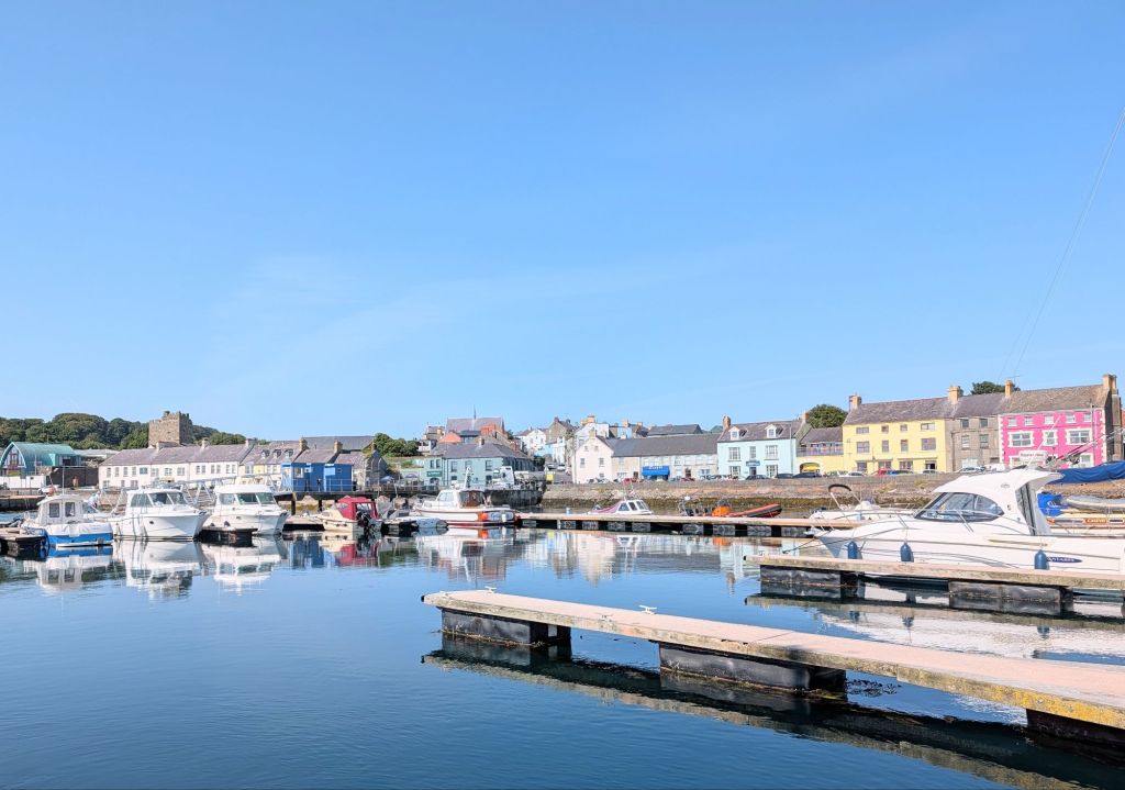
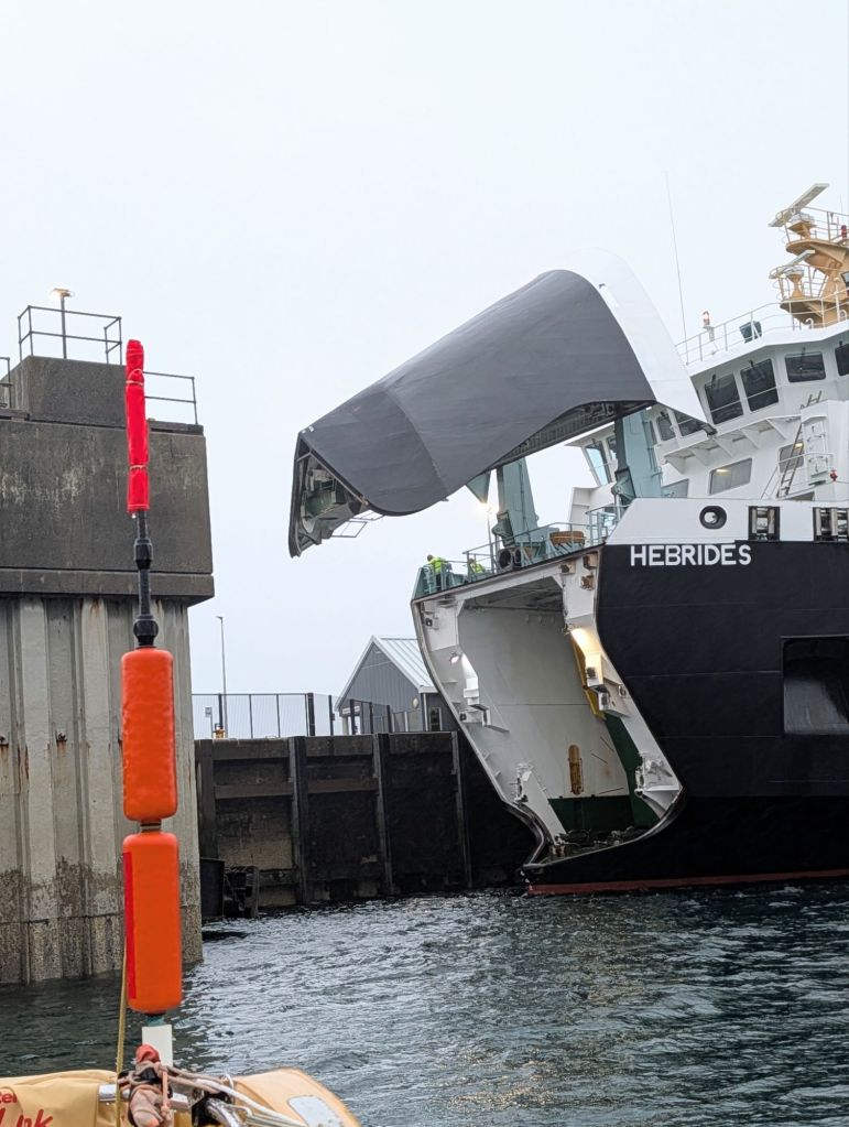
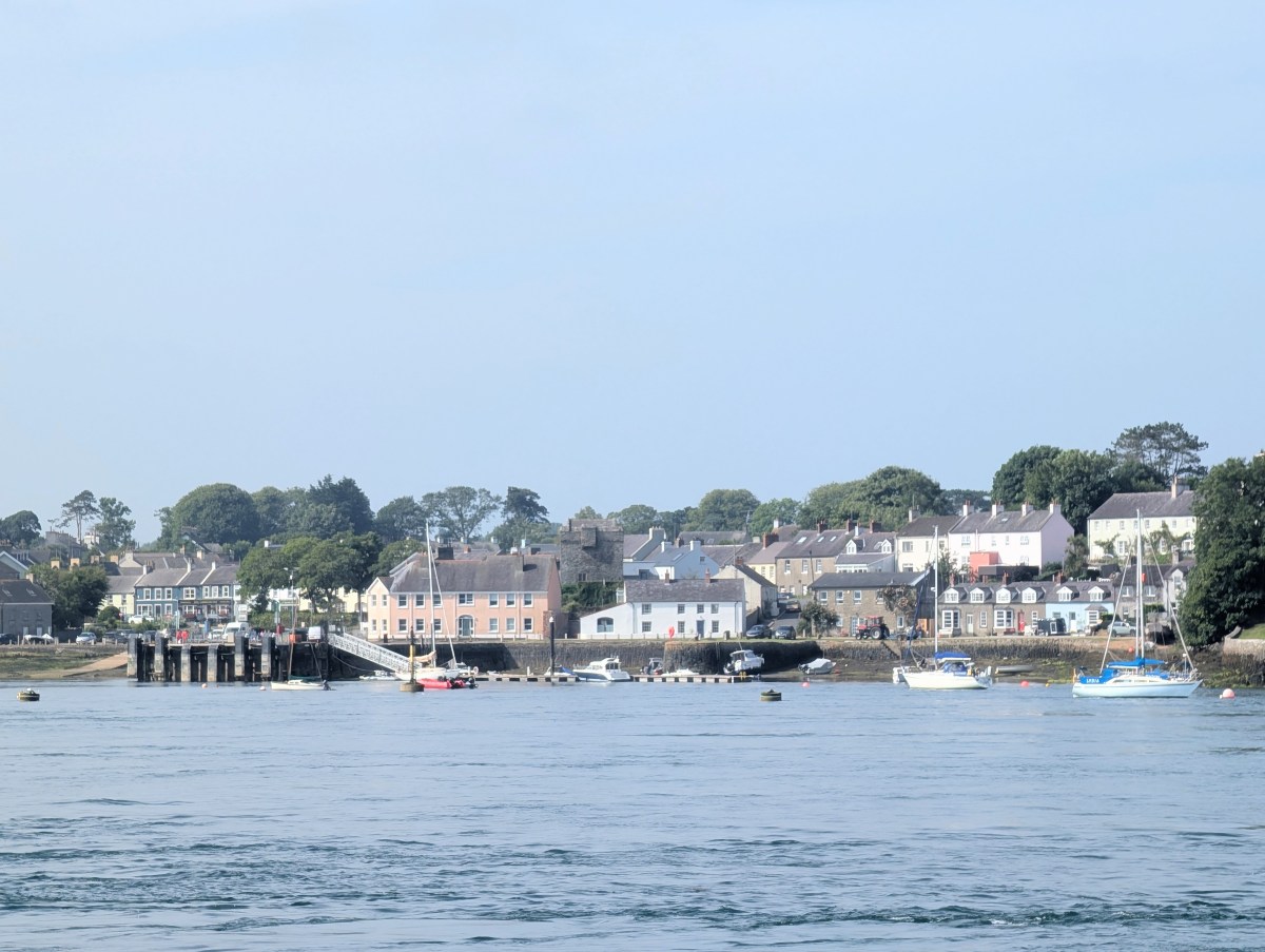
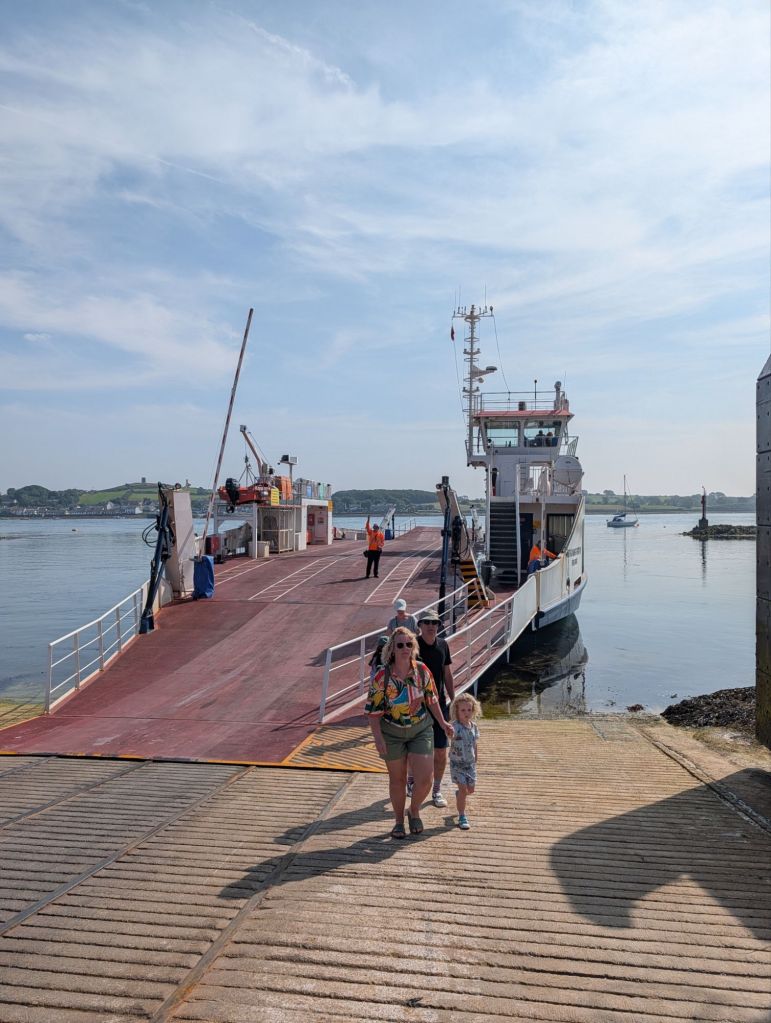
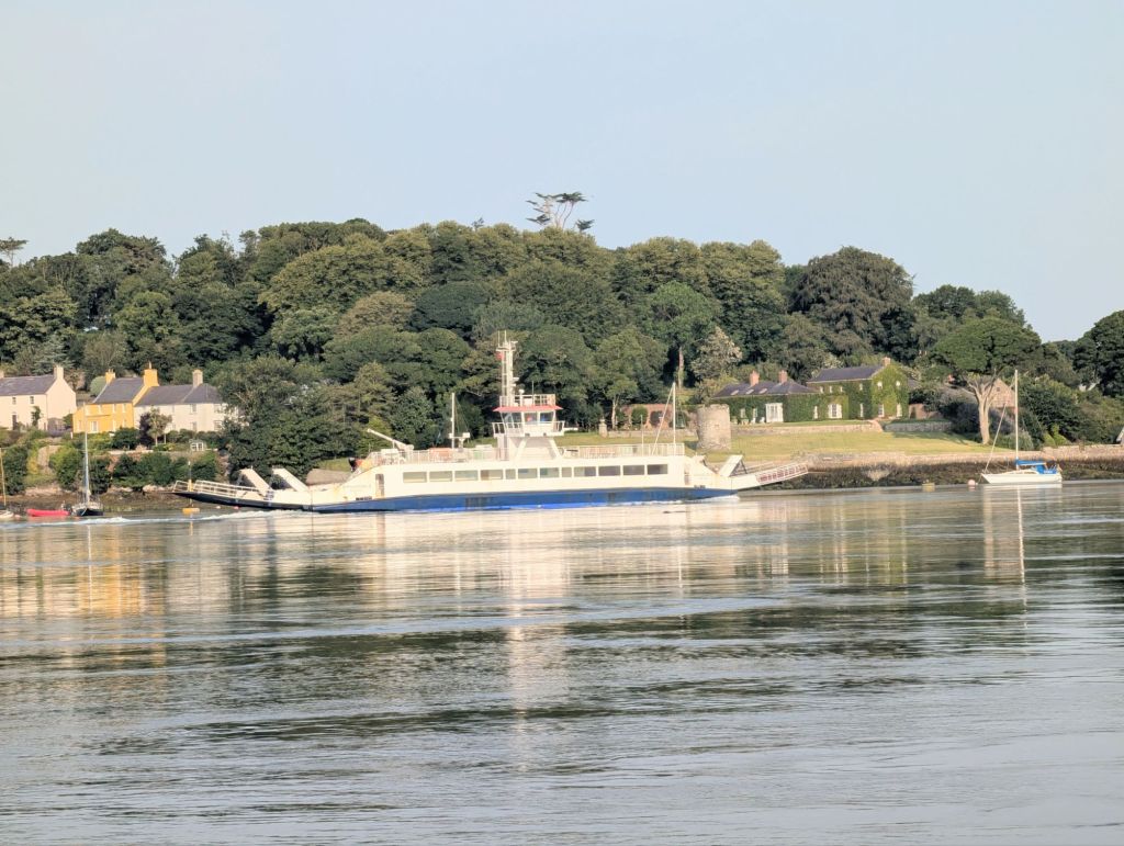
Portaferry is on the north shore, and has good shops and restaurants. Immediately opposite, connected by a car ferry that must take great skill to manoeuvre in such a strong tide, is the attractive village of Strangford.
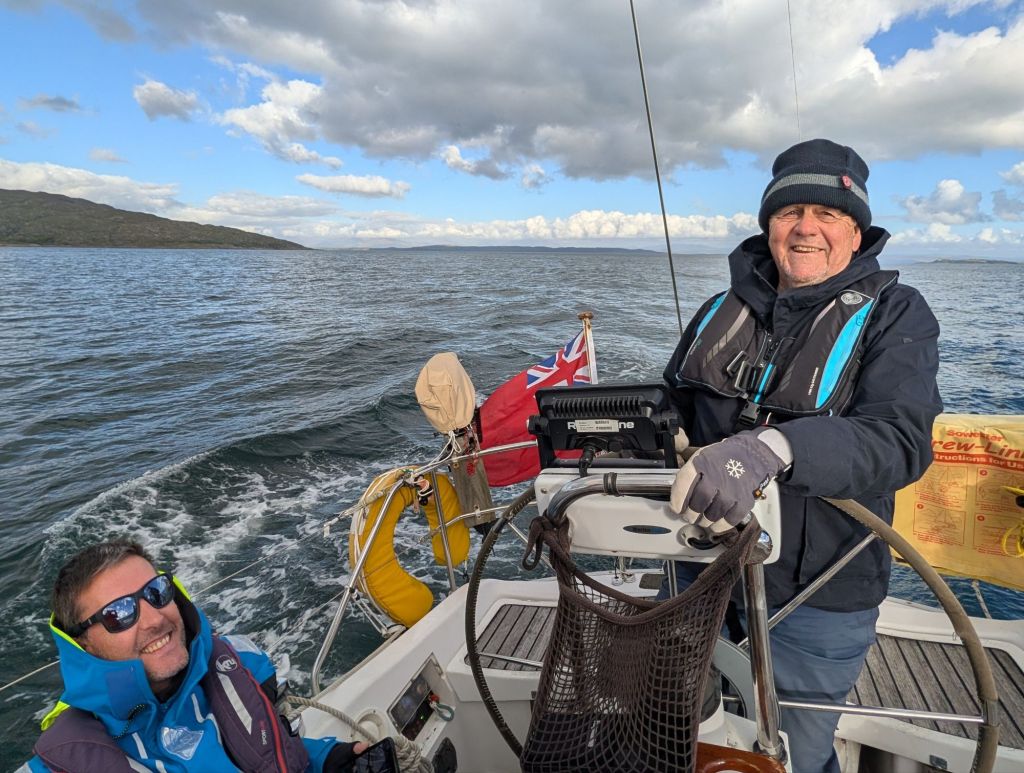
We had a good dinner at the Portaferry Hotel, and next morning said goodbye to David, who caught a bus to Belfast and the airport. David had commitments at home, not least of which was to join the East Coast Old Gaffers summer rally in his own boat.
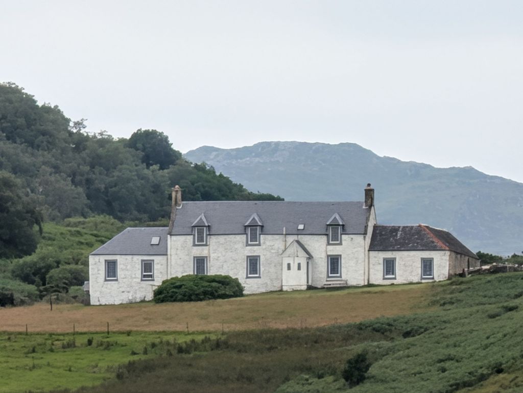
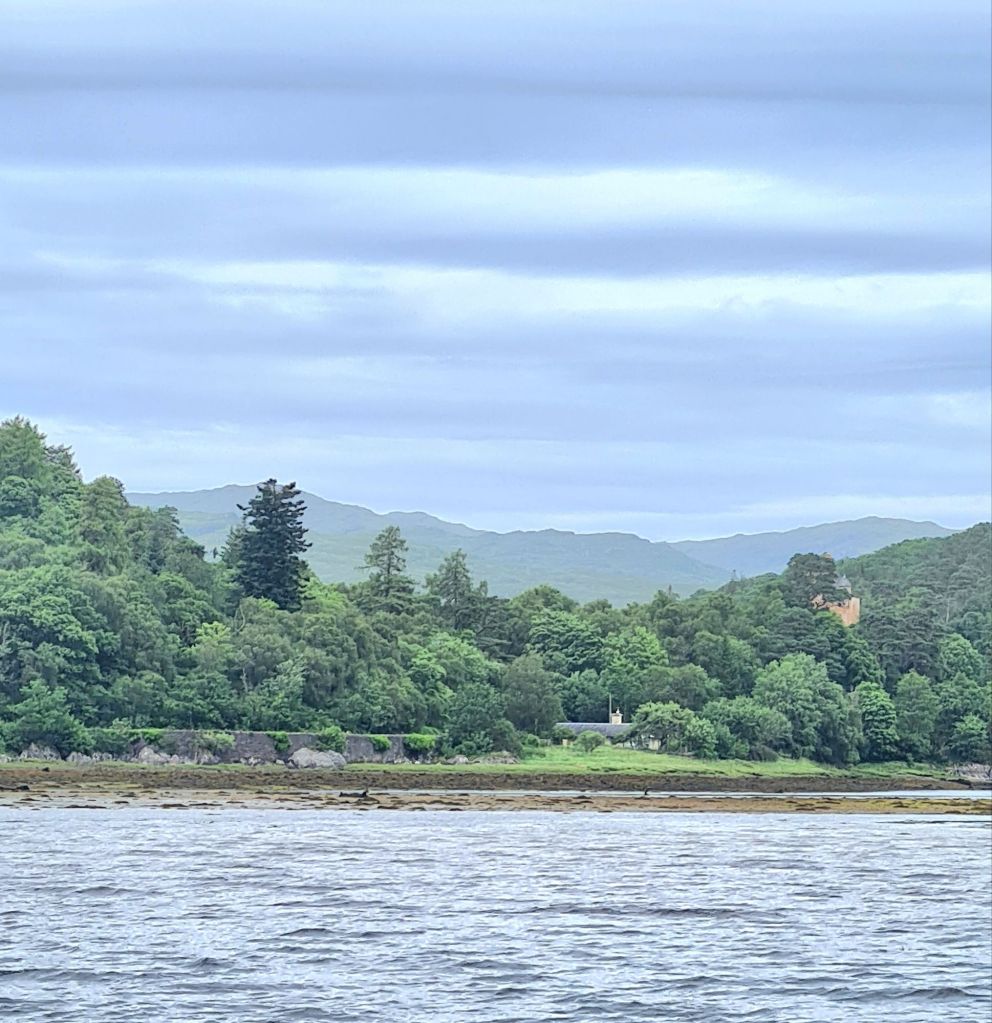
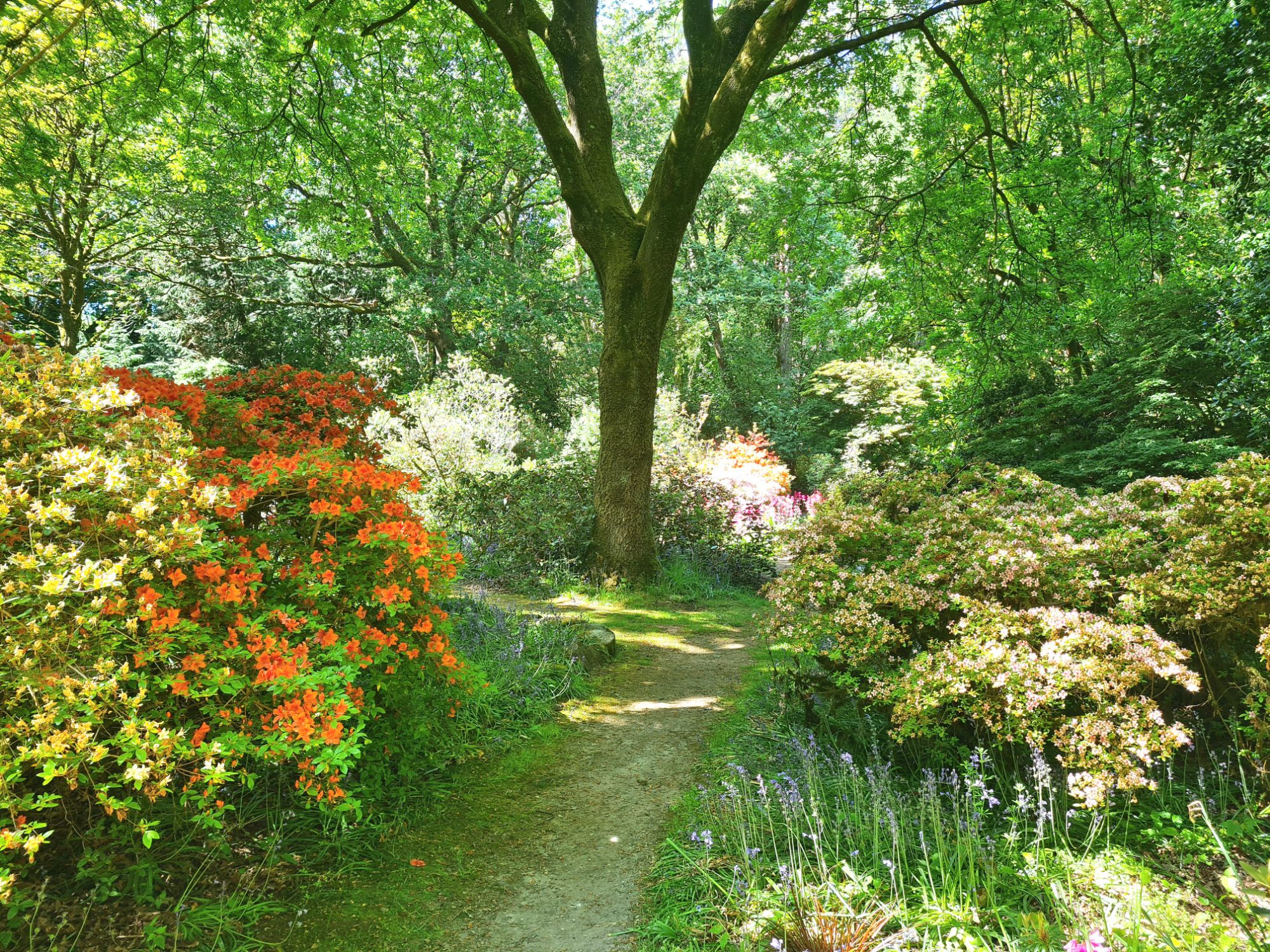
Next day, we took the ferry to Strangford to visit Castle Ward. The other more celebrated National Trust estate of Mount Stewart was a bus ride away, and we preferred Castle Ward because it was an easy 2 mile walk from the ferry, the second mile through the house’s beautiful wooded parklands with lovely views over the lough. The farmhouse by the shore was a location for scenes in Game of Thrones. The estate and garden have play areas and other attractions for children and there are bikes to hire and trails all over the park.
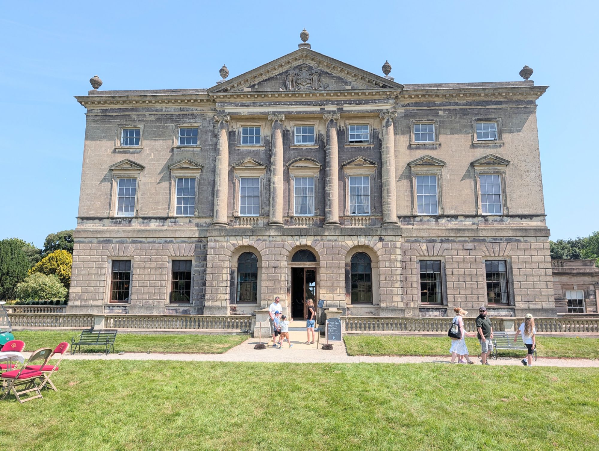
The house is interesting as much for the architectural row it provoked between husband and wife when it was built in the 1760s as for its content. Mrs Ward wanted the Gothic revival style, made popular a few years earlier by Horace Walpole’s Strawberry Hill in London. Mr Ward (later Viscount Bangor) preferred a severe Classical style. The deal they made was that the front facade and rooms were Classical and the back facade and rooms were Gothic.
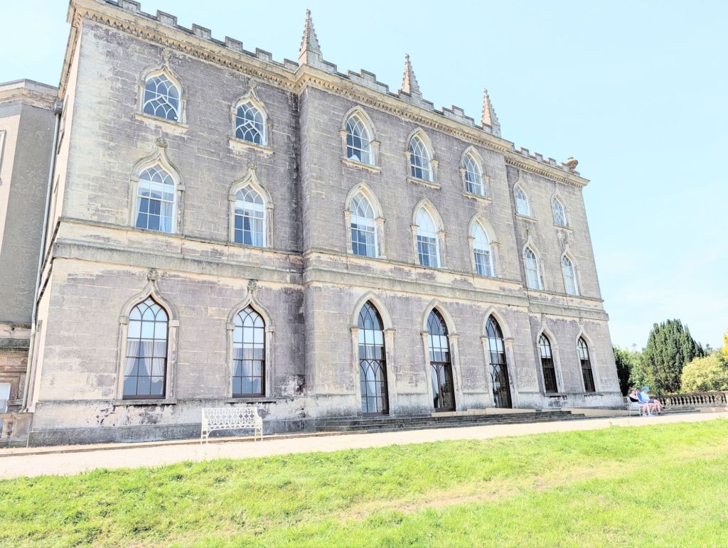
The marriage crumbled later, and Mrs Ward (aka Lady Bangor) moved to Dublin, then Bath.
We visited the cafe for coffee, toured the house and wandered back to Strangford through the grounds.
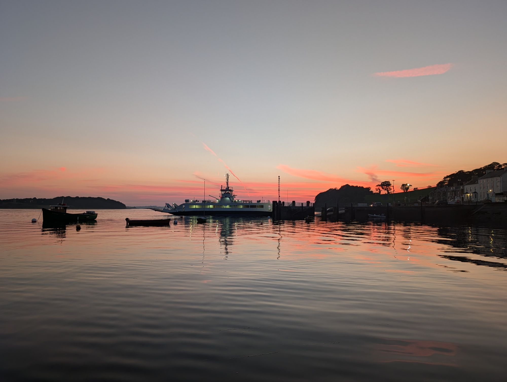
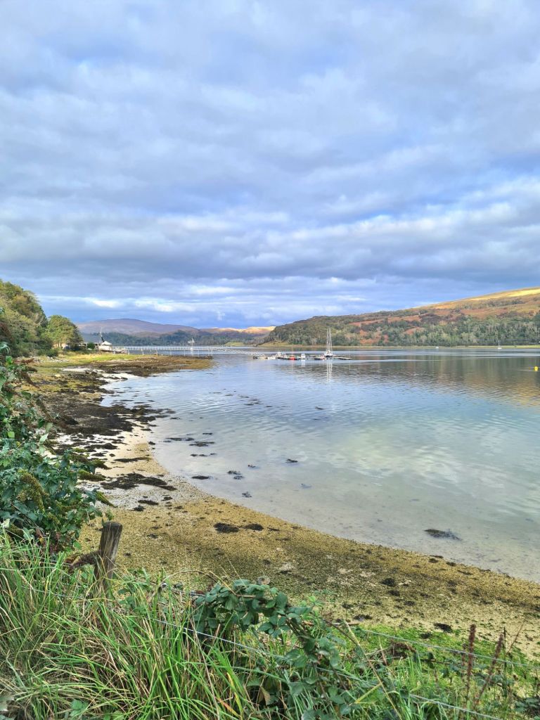
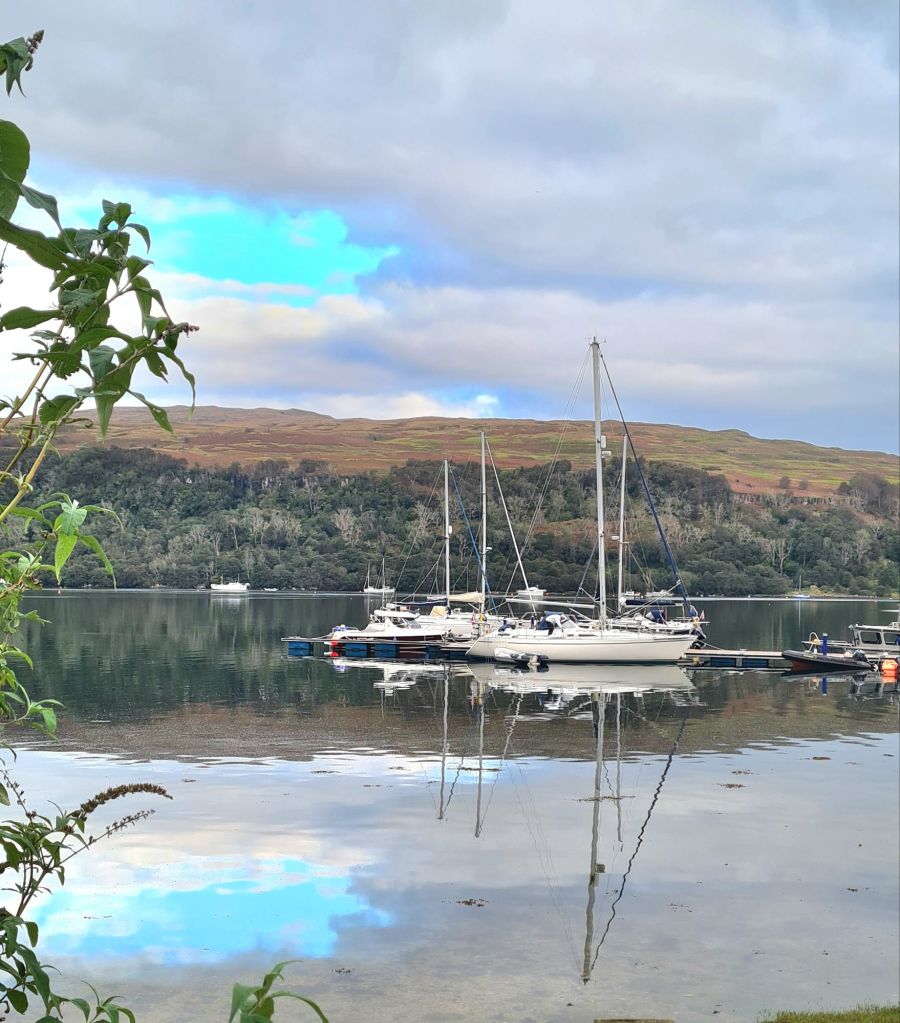
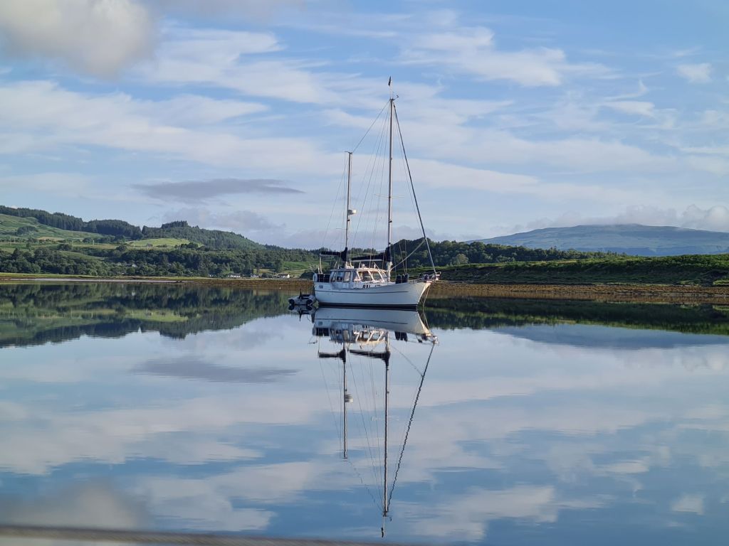
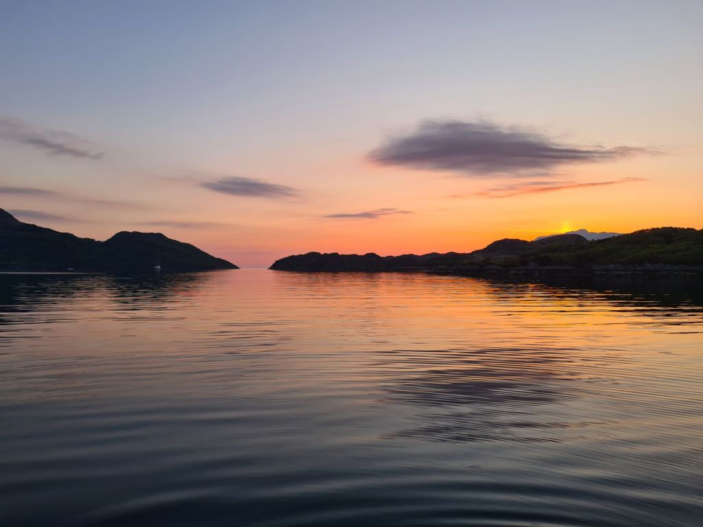
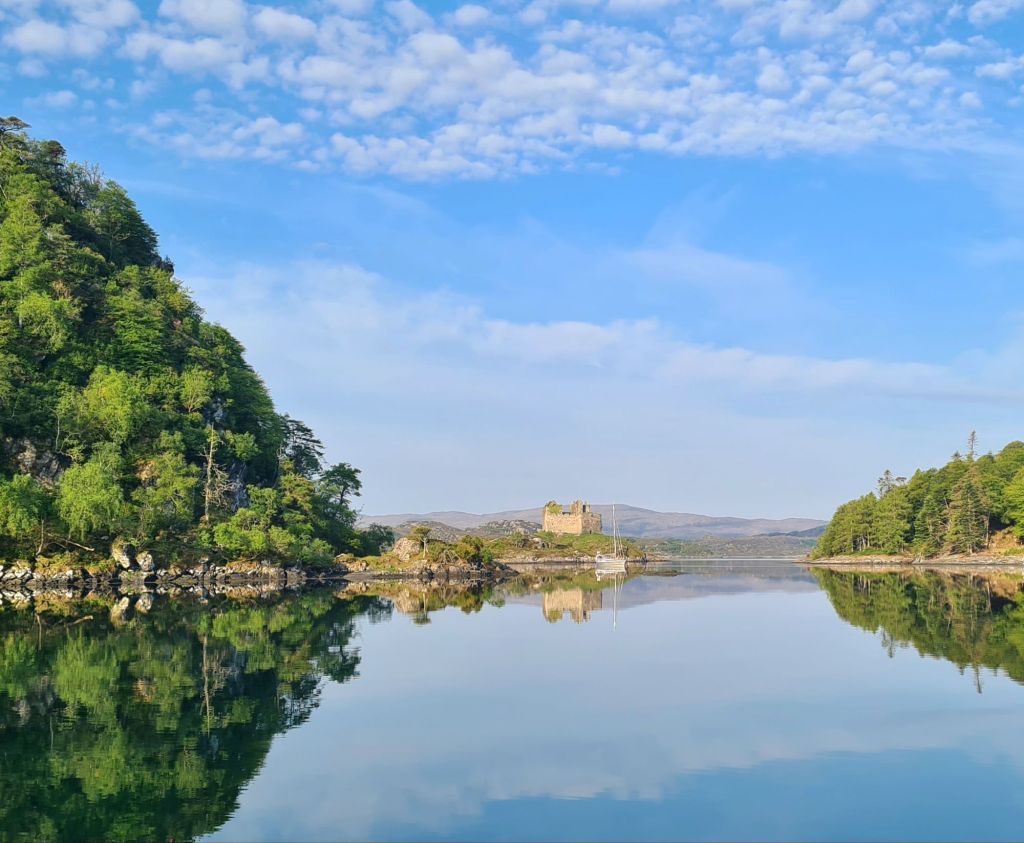
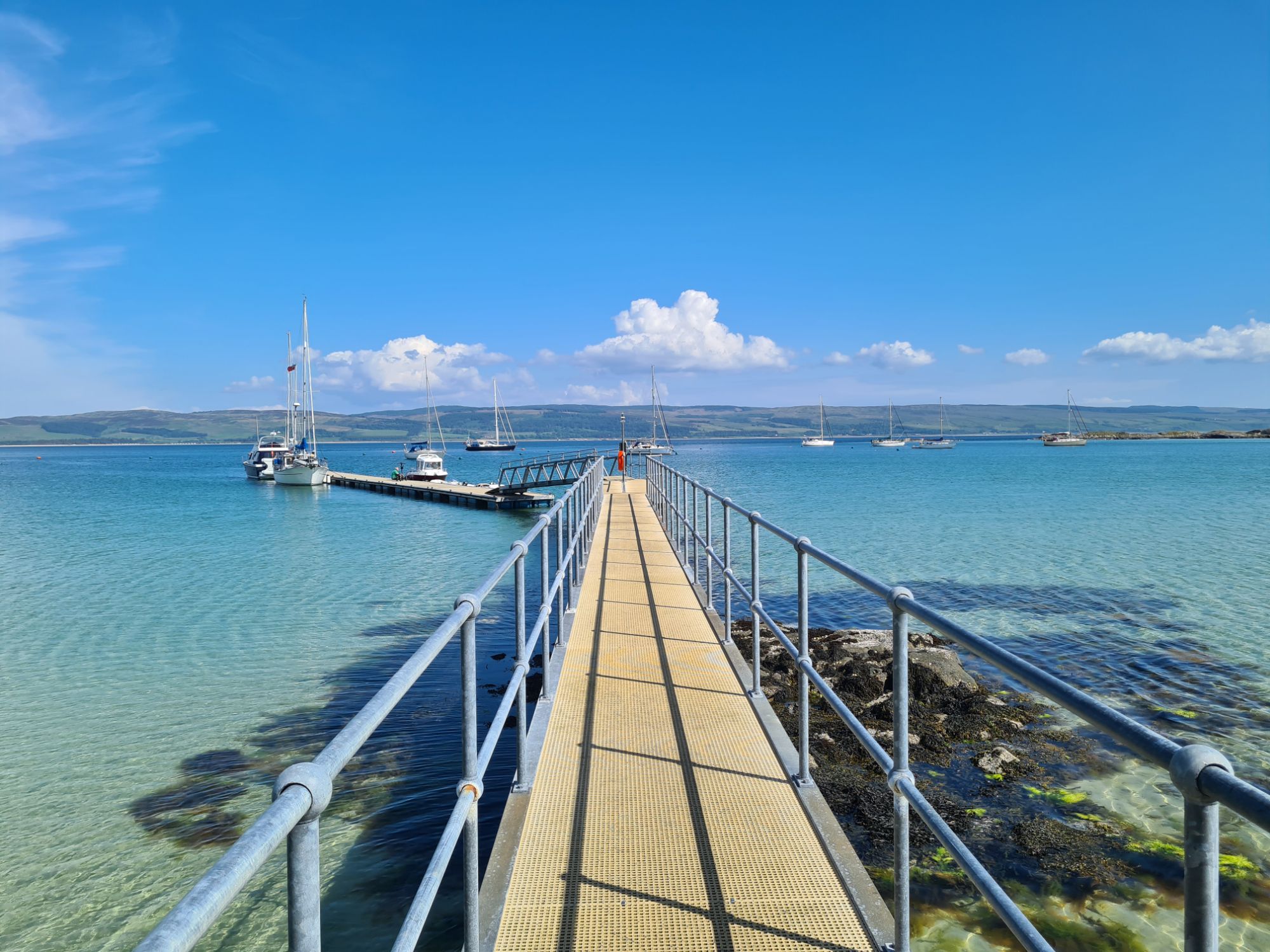
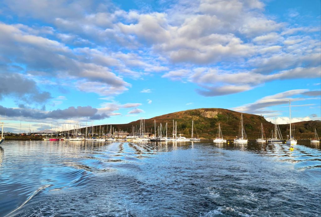
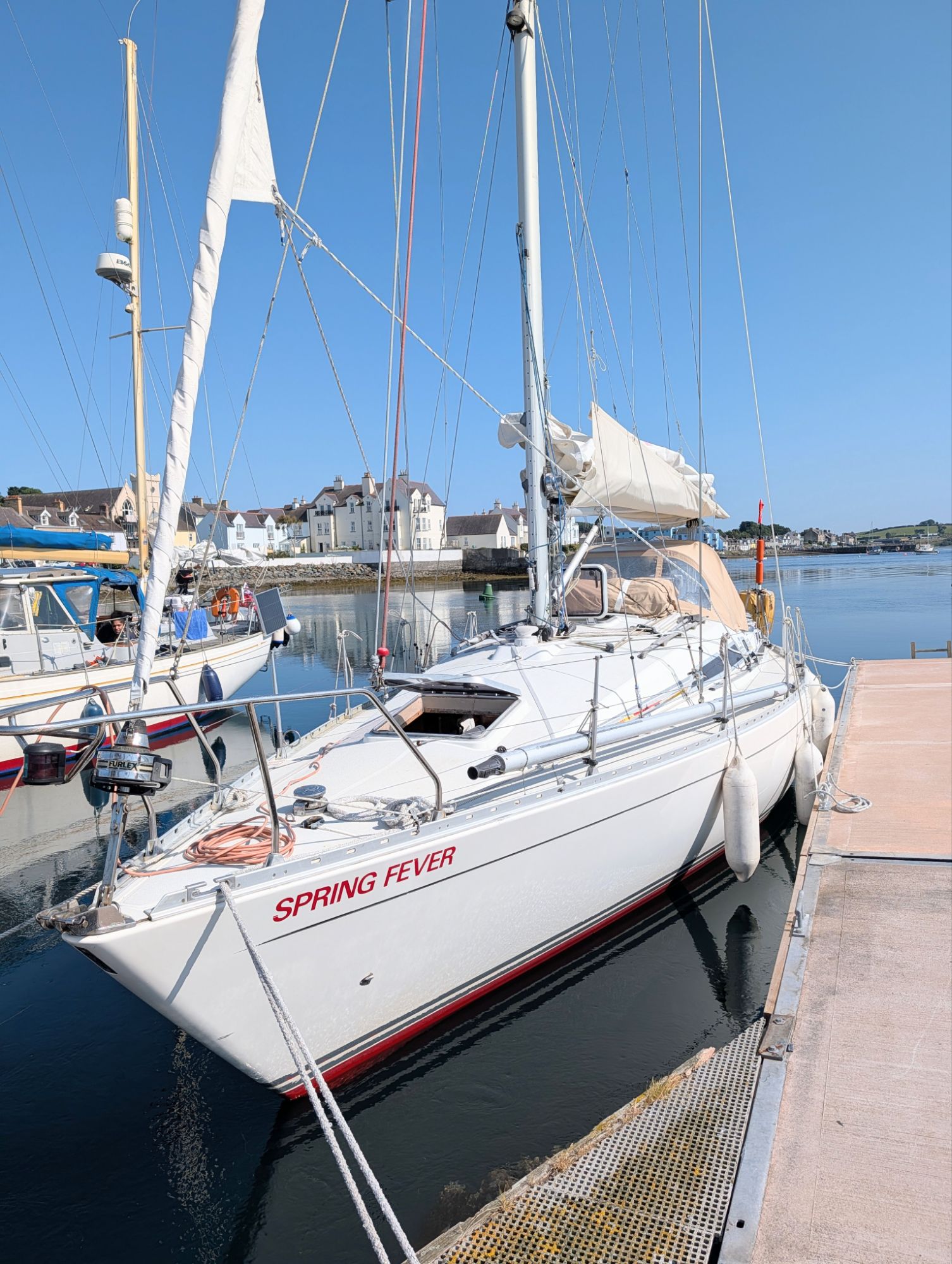
Sunset on a still evening from our pontoon
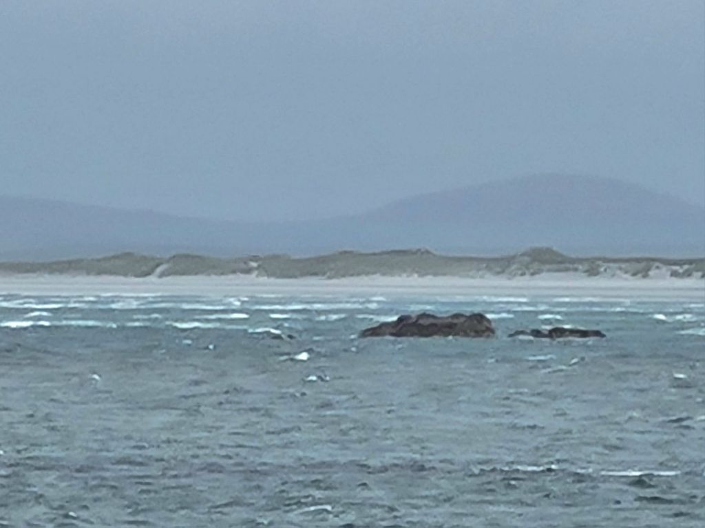
Next day we again followed the harbour master’s timing advice, and left at 0800 on the last two hours of the ebb tide, as it began to weaken from the mid-tide peak flow. It was a spring tide, and the chartplotter registered up to 12 knots speed over the ground, with the boat moving through the water at 4 knots.
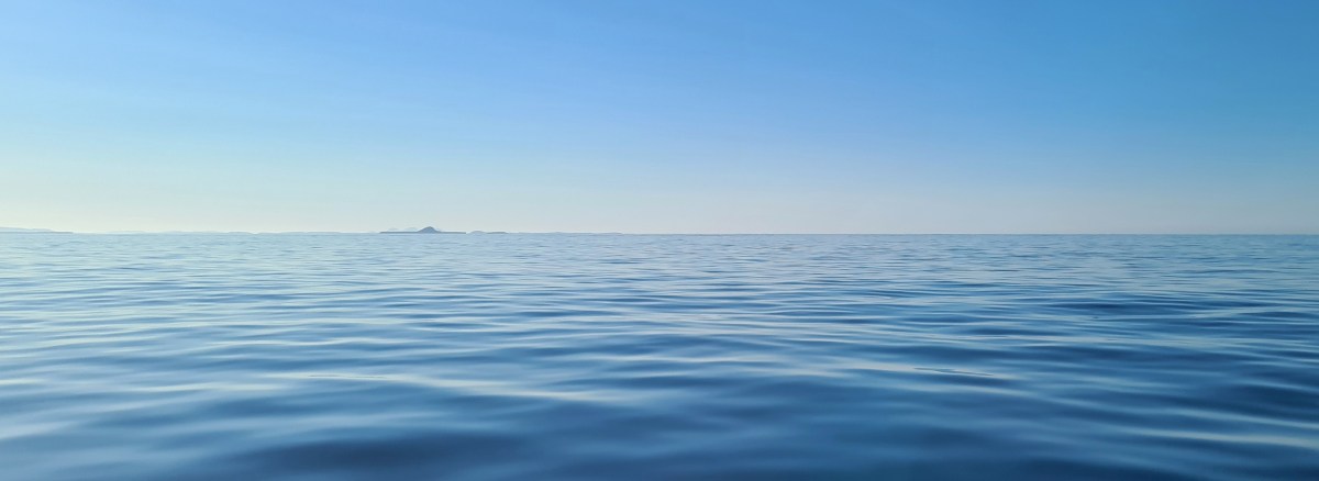
In good visibility the hazards were well marked, and we were soon out of the entrance and setting a course for Dublin, where we moored at sunset in Dun Laoghaire marina, the 2021 cruise finished at last!
From Strangford Lough to Dun Laoghaire in the southern suburbs of Dublin was an easy 65 miles, in light winds and warm weather, much of it easy motor sailing. We passed Howth Head as sunset approached, crossed Dublin Bay, and went to a pre-booked visitor pontoon in Dun Laoghaire’s enormous marina, to see family the next day. They live a short walk away from the harbour.
Timings for entering and leaving Strangford Lough
The general advice everyone gives is that it’s best to enter around slack water at either low or high tide. The Portaferry harbourmaster, a retired merchant navy man, was a helpful guide with a more precise suggestion.
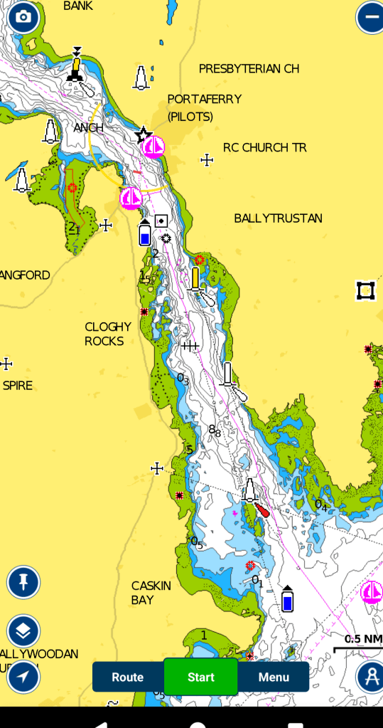
Reeds Almanac puts the start of the flood tide up the loch at the seaward end of the narrows at 3.5 hours before high water at Belfast, which meant 1500 at the Strangford entrance.
The harbourmaster said however that the best time to arrive that day, two days before the highest spring tide, was 1400, which we timed pretty exactly from Bangor. We were then carried for half a mile on the last of the flood up the narrows, and the rest of the way it was slack with no turbulence. There was only a little outward flow by the time we reached the marina. Stories we heard about having to ferry glide in to the entrance across a fierce tide were redundant with that timing.
The harbourmaster’s timing advice for exit two days later was to leave on the ebb at 0800, two hours before low water. Reeds says the ebb starts at the entrance 2.5 hours after HW Belfast, which was 10.23 at Strangford entrance. So we were leaving with more than two hours of ebb tide to go.
In fact, the harbourmaster said we’d be alright leaving even an hour earlier at 0700, at half tide, but maybe that was because the conditions on the day were perfect. When we left at 0800, big swirling eddies and calm patches between were good guides to the shallows and we had little trouble steering in the turbulence. With 12 knots at times over the ground, we were out at sea in no time.
One big caveat: the weather conditions and visibility were fine and with the beacons and signs of turbulence on the water it would have been easy enough to come in and out without a chartplotter. But the tides ard so fierce that even an easterly Force 4 can make the entrance dangerous, with big standing waves. I’d say a first timer at Strangford Lough should wait for good weather, and always try to speak first to the harbourmaster.