COWES TO OBAN
This is the story of the first year of our two-year round Britain cruise in Spring Fever, a retired racing boat on a mission to go slowly (like us). A previous round Britain in 2007-8 in an earlier boat, Pepper of Brixham, had left us hungry to see more of the beautiful West of Scotland, where we had time to spend only a month sailing.
We decided to go anti-clockwise, up the East Coast and down the West, rather than the clockwise route we used last time, and to use the Caledonian Canal rather than Cape Wrath and the Orkneys, which we visited in 2008. The account of our passage back from Scotland down the West Coast of Ireland in 2013 was written as a daily blog (follow this link to see all the posts) but this first part of the cruise is a single account, a photo album with words.
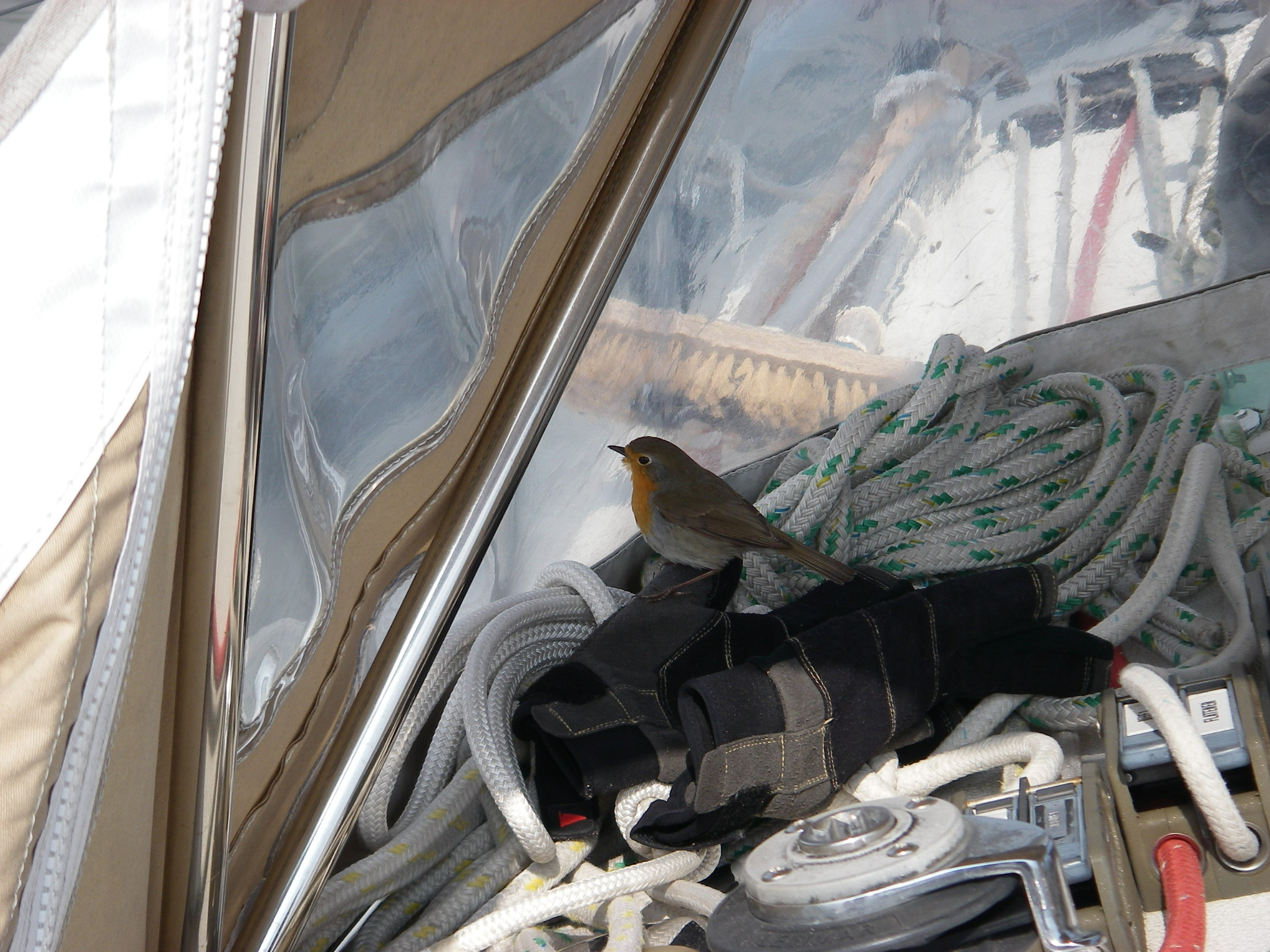
We left Cowes on 11 April 2012 for what always seems a bit of a trudge to the Thames Estuary, though with the right timing there are about 11 hours of favourable tide on the way from Beachy Head to Ramsgate, which speeds things up. After leaving Brighton, for an hour or two we were much entertained by a stray Robin’s search for a safe haven on the boat. He eventually found such a good hiding place – it was a mystery where – that we didn’t see him again until he flew off while we were entering the Deben in Suffolk more than a day later. He had hitched a 130 mile ride.
We took a mooring at Waldringfield on the upper reaches of the Deben for a few weeks, which we used as a base for a diversion back into the Thames Estuary with David Fairhall and Martin Walker.
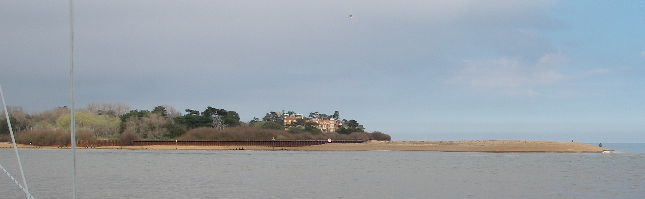
We creek crawled, touching bottom at high tide, up to the quay at Maldon, where David lives, but there wasn’t enough water to go alongside. So we went back a mile or two to spend the night locked in at Heybridge Basin from where, after dinner in the pub, David left for home. We spent a night at Brightlingsea, and then crossed the Thames Estuary and went up the Medway to Chatham for a night, and back to Waldringfield – just failing to visit Woodbridge near the navigable head of the river, because we found when we arrived that an unusually weak high tide left a foot less water over the Tidemill Marina cill than the harbour master had predicted a few hours earlier. We dashed back down river to our temporary mooring before the upper reaches began to dry.
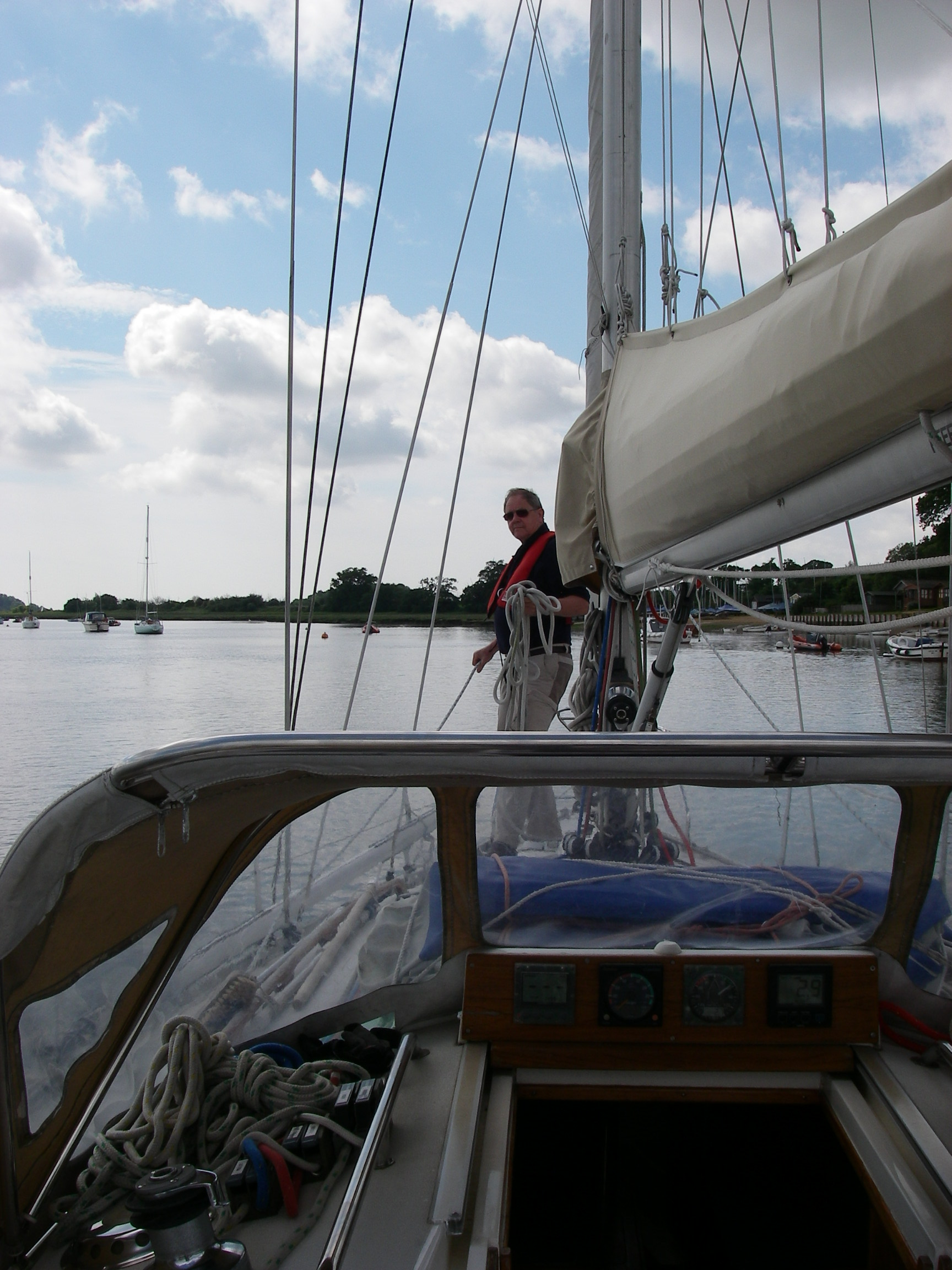
The passage north resumed on 26 May when we left the Deben for Lowestoft, where we located one of the rare compass adjusters round the British coast, who came to check the eccentric way our main instrument was behaving. He diagnosed terminal bearing failure, and installed and swung a brand new one for us.
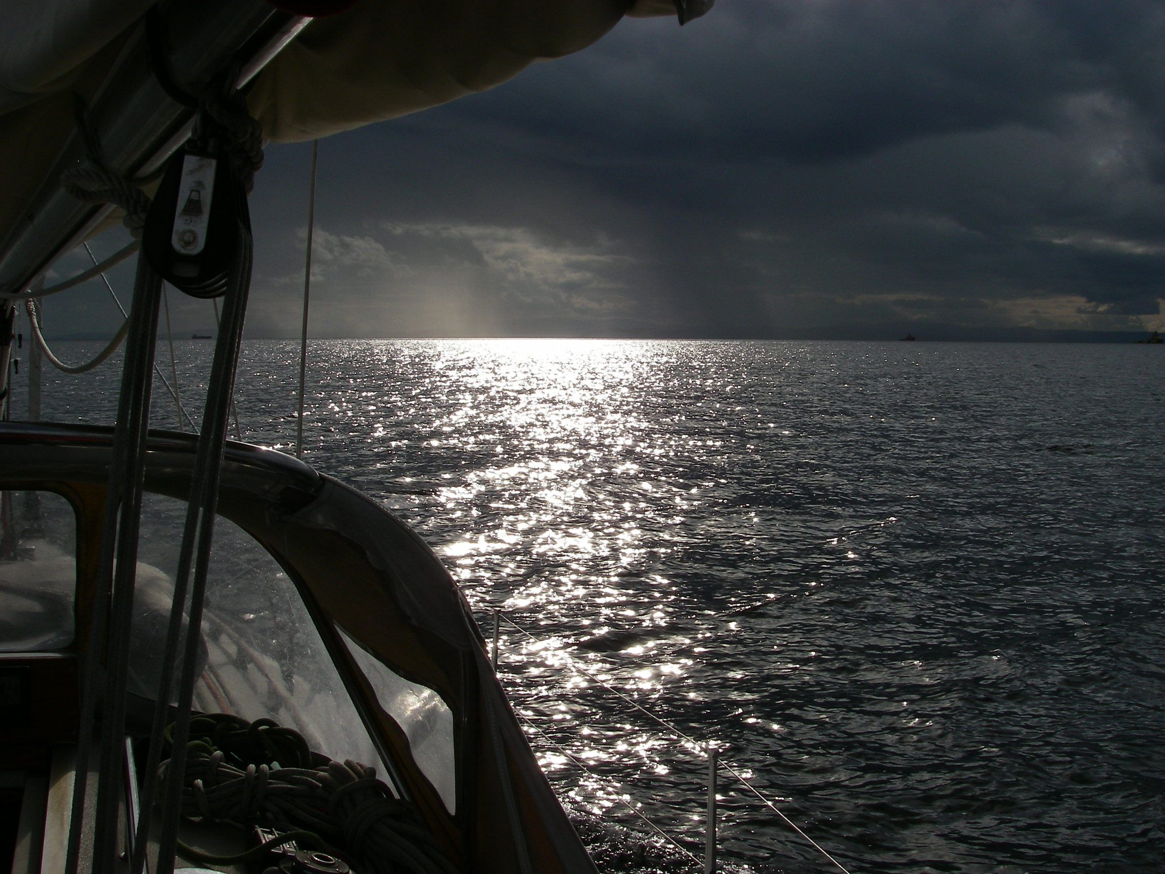
From Lowestoft we had a fast 130 mile reach to Whitby where the weather broke just as we arrived, unfortunately at low tide, so we had to jill around outside for an hour in furious rainy squalls before we could enter the outer harbour, where we waited on a pontoon for the bridge to be opened.
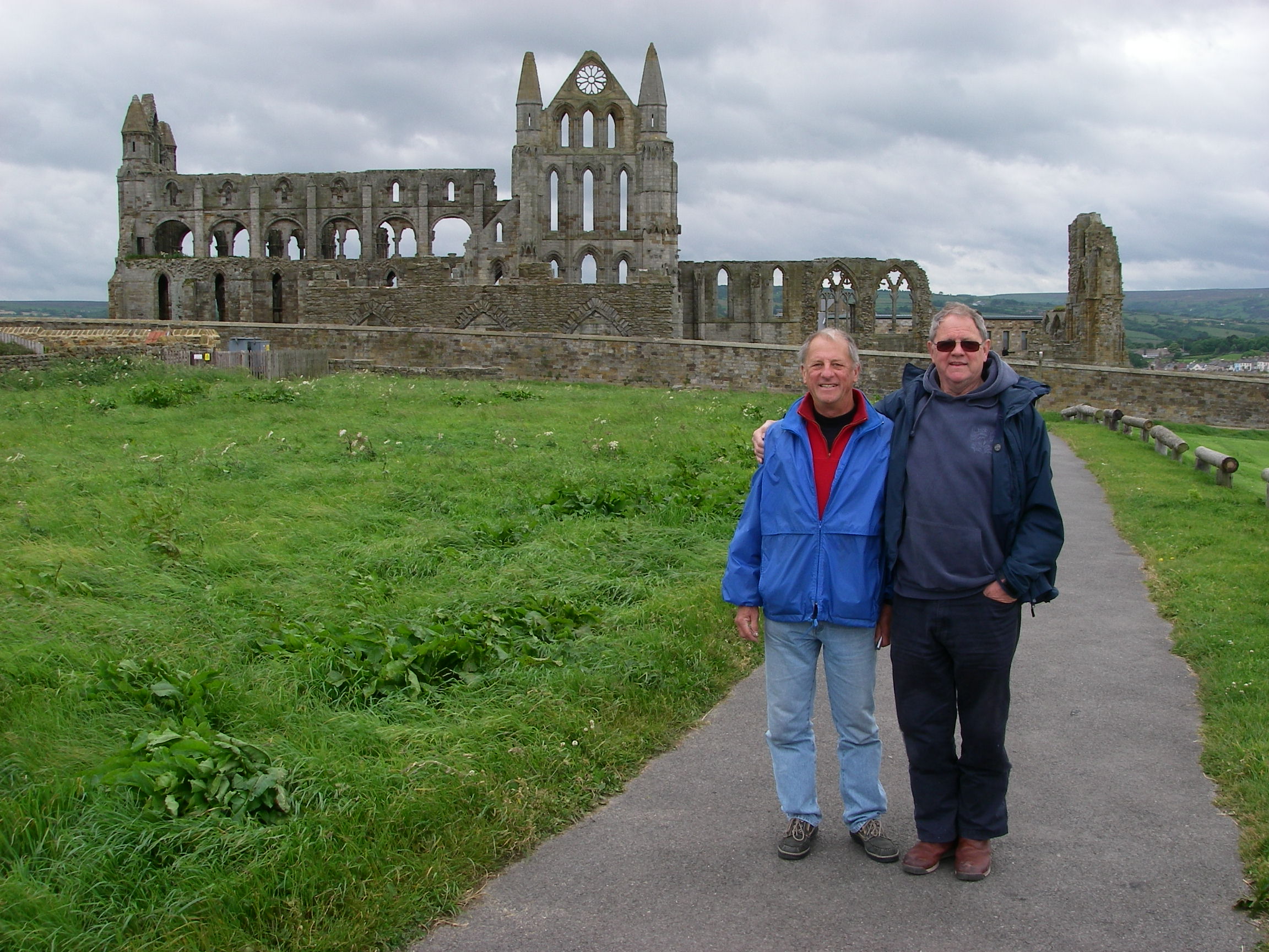
Whitby is a beautiful place. Arriving by sea (as Count Dracula did) is the best way to see it, though visiting by the steam train service across the moors in summer must run that a close second.
From Whitby in Yorkshire we headed for the little Marina at Amble in Northumberland, and walked 20 minutes along the river for dinner in the charming village of Warkworth, with its castle and pubs, a great contrast to Amble itself, which is a sad-looking place that used to be a coal exporting port.
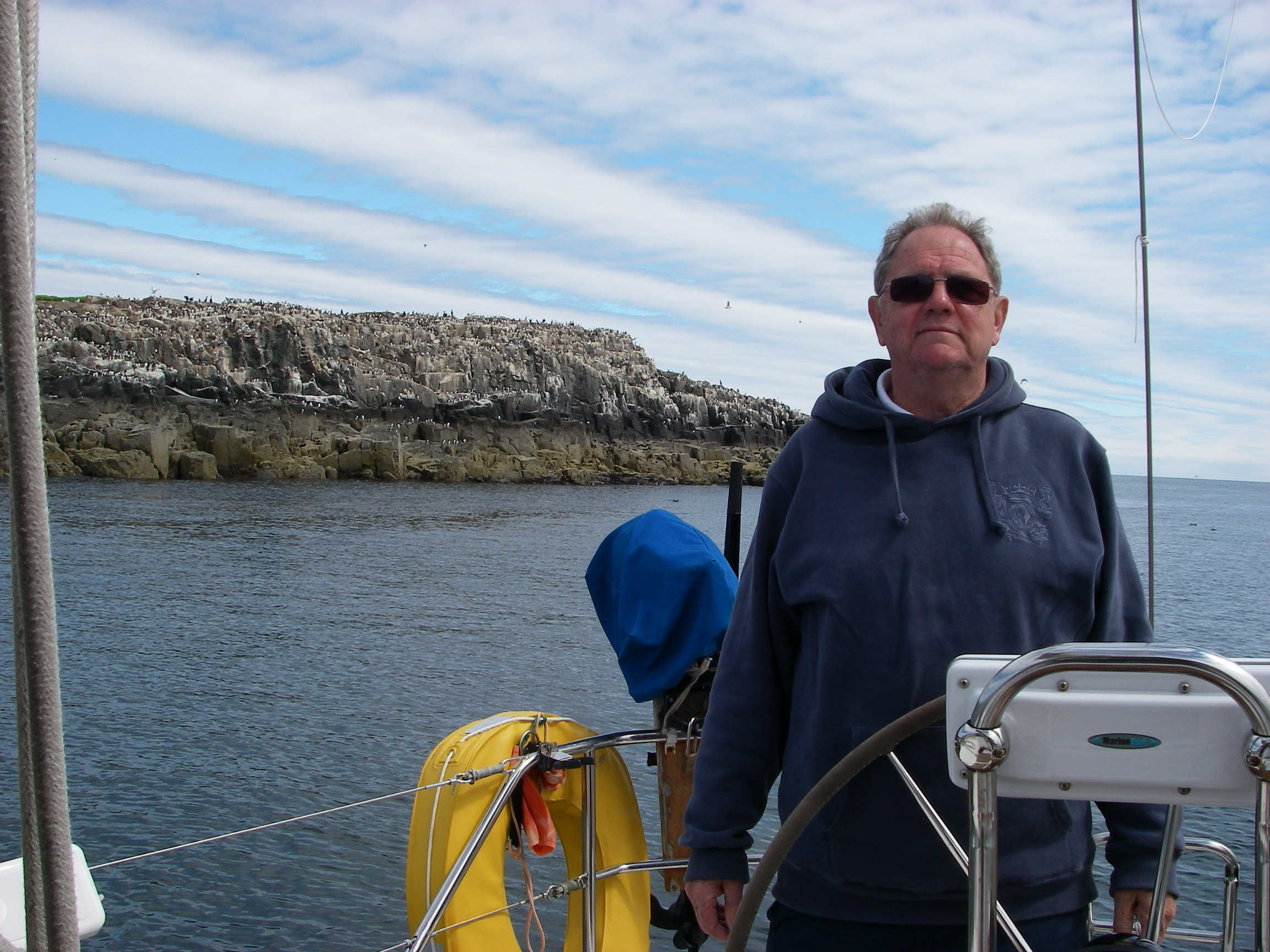
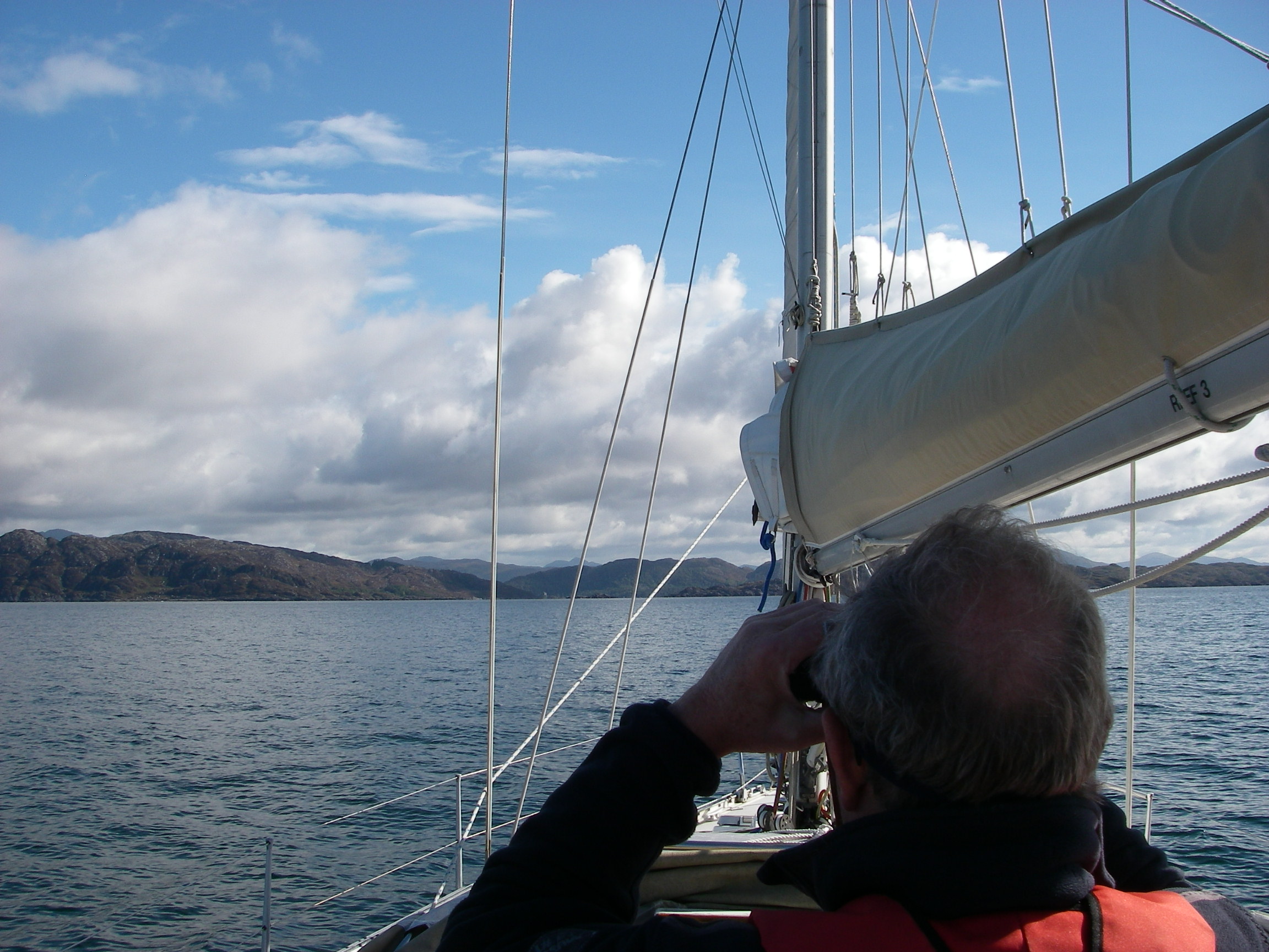
Next stop was to be Holy Island, but the weather had settled again so we anchored for part of the day between two of the Farne Islands, where we watched great displays by the puffins and other seabirds which milled around the boat.
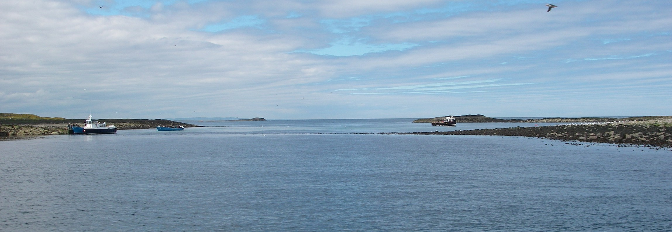
The most popular and easiest anchorages are either side of a bar that runs between the two innermost islands, near where bird watching visitors are ferried ashore from the mainland.
The side of the bar to choose depends of course on the weather. From either side – we tried the north a few years ago – it is much more sheltered than it looks on the chart.
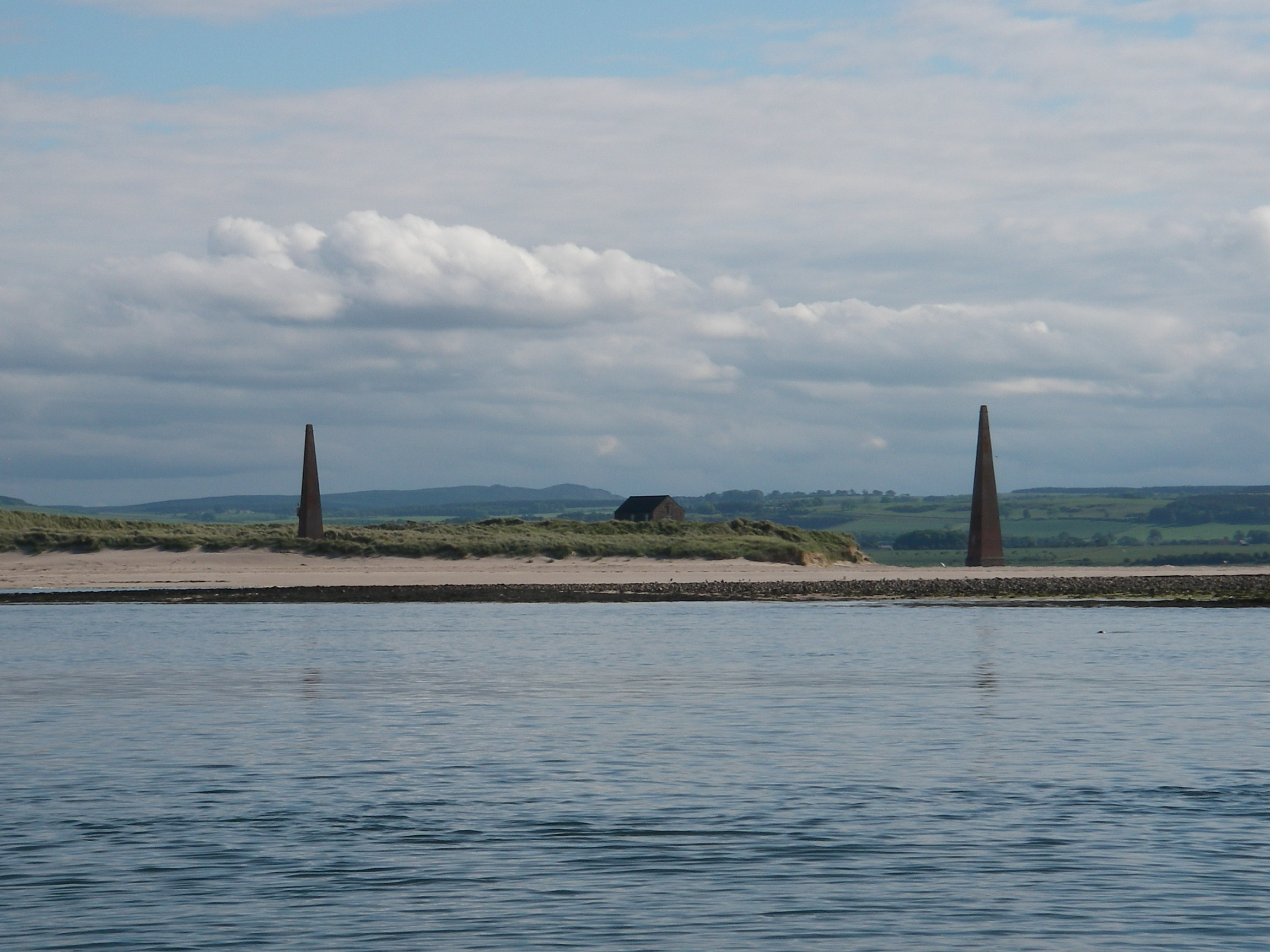
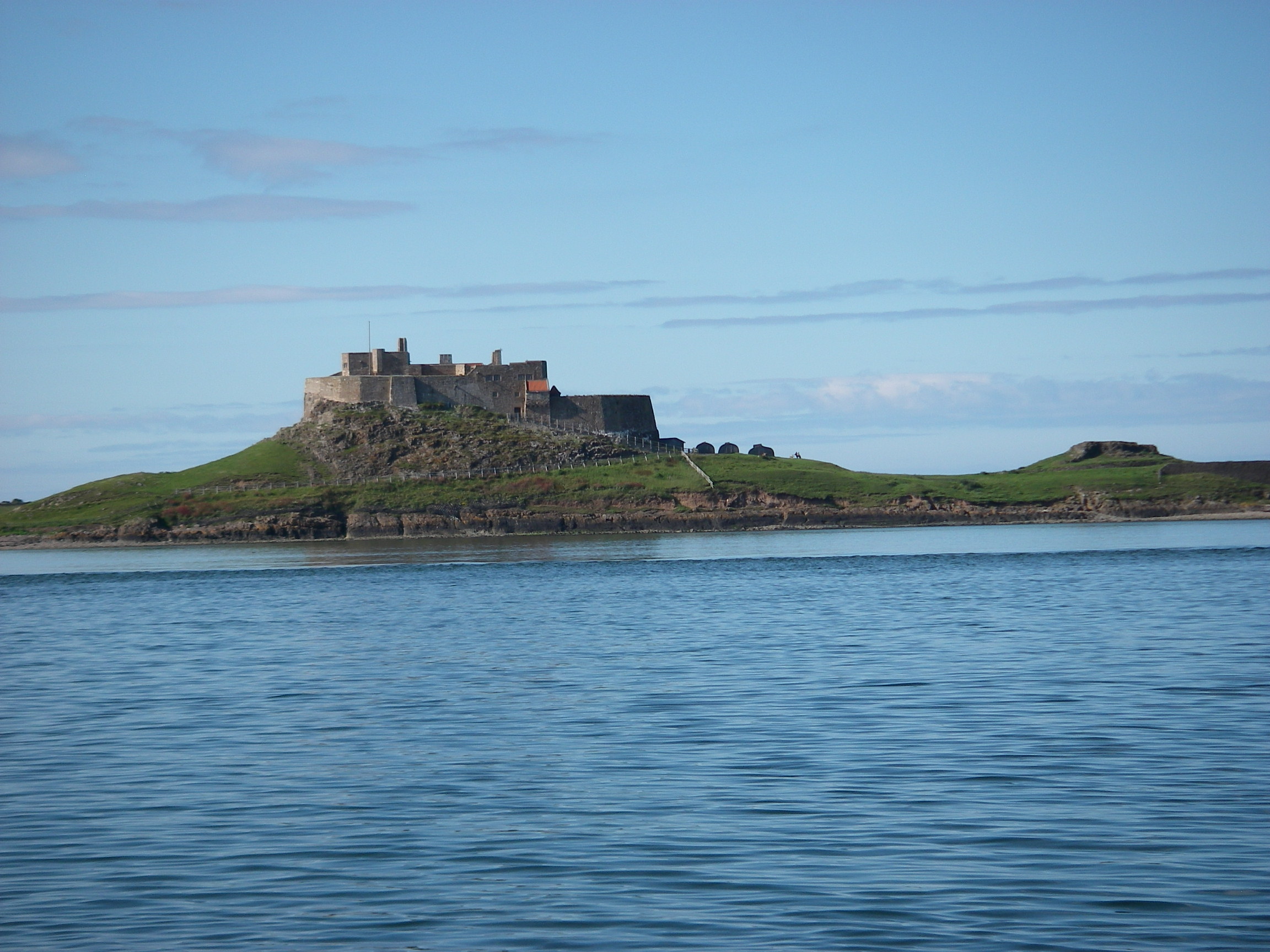
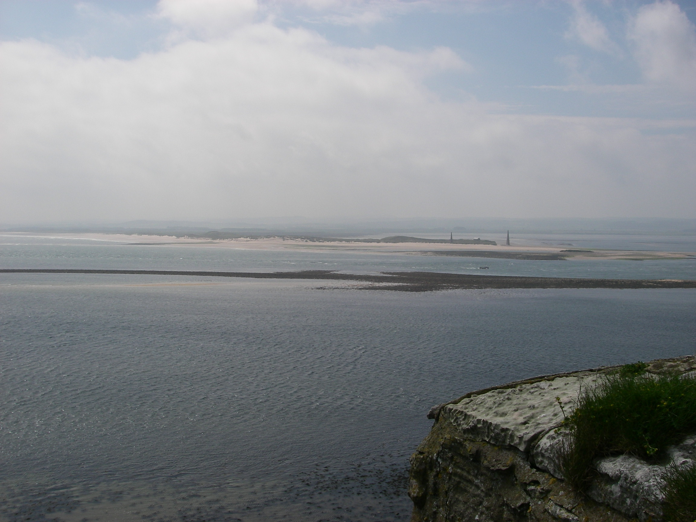
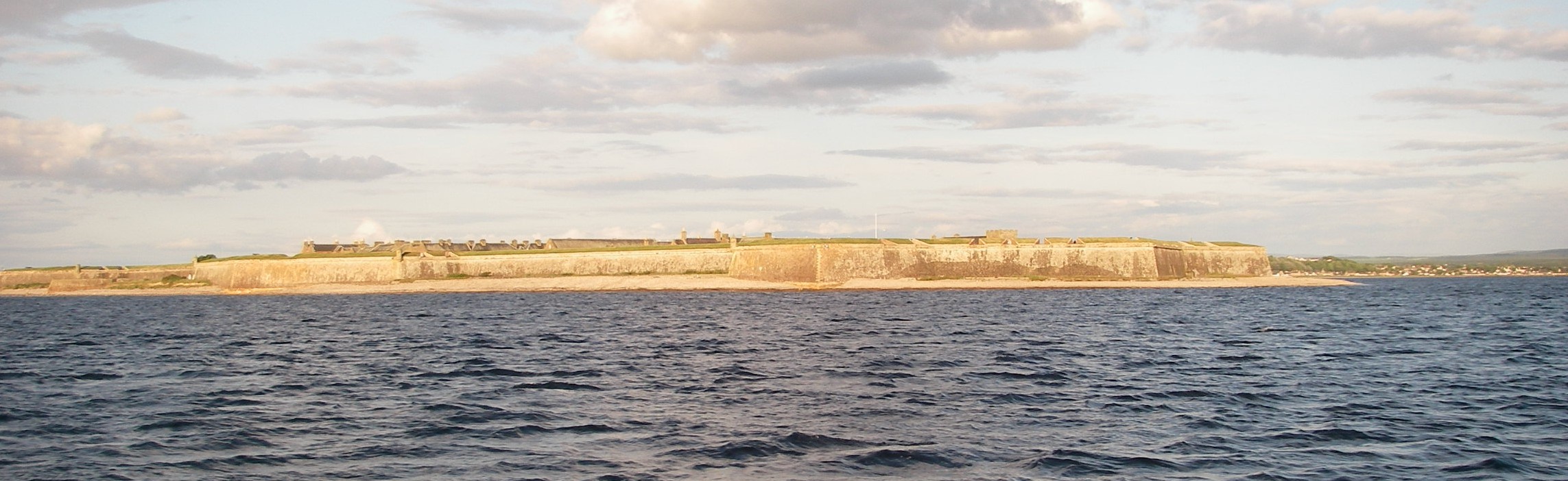
Next we made the short passage north to the anchorage at Holy Island, which looks equally exposed, especially to the South East, but is in fact well protected from most directions, Since at least early mediaeval times it has been an important haven on the coastal trade routes, and the monks of St Aidan probably chose it for that reason, plus the causeway that helps protect it from the mainland.
The biggest discomfort in the anchorage came when (as warned by the pilot book) the wind went into the west, which with a high tide produces quite a chop because of the long fetch from the mainland shore. The anchorage has a strong tide so we took care to put out plenty of scope, and we certainly needed the outboard on the dinghy when we went ashore.
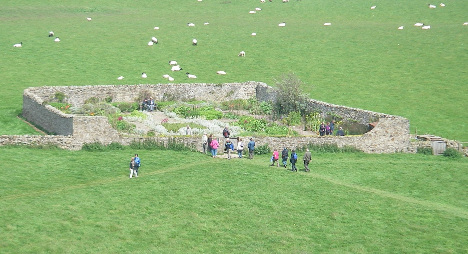
We spent time exploring the ruined abbey and the castle restored (or rather built again) by Lutyens, which has a delightful little walled garden by his friend Gertrude Jekyll, perched on a slope with a view of the castle.
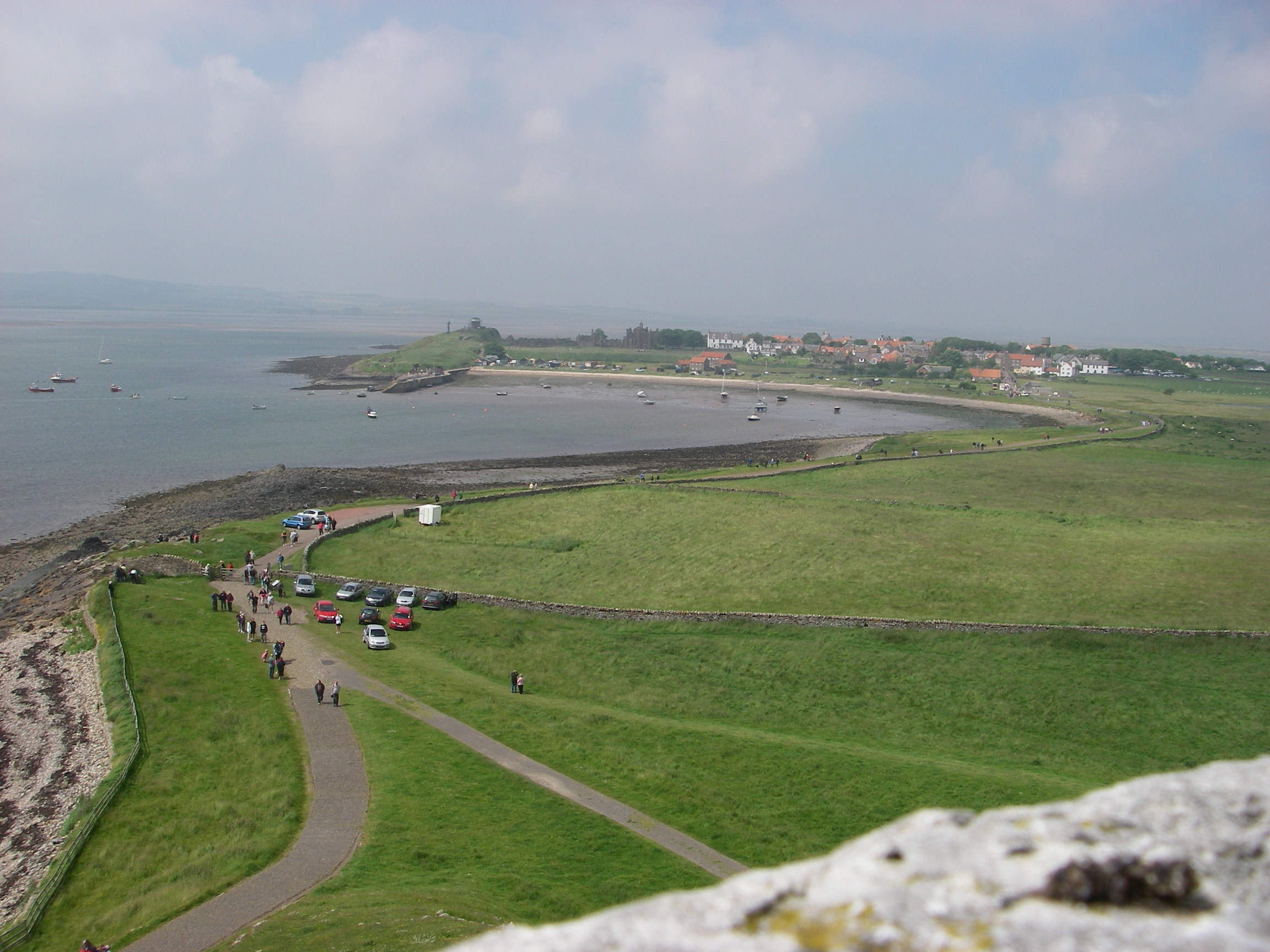
There are several pubs with decent food, and a wonderful sense of calm once the tide has covered the causeway road to the mainland and the day visitors have left.
From Holy Island we went to Eyemouth, just over the Scottish border, a fishing village which still has a little trawler shipyard, whose connection with the harbour is a narrow and fast flowing river channel that hardly looks wide enough for the boats chocked up in the yard.
The entrance to the harbour is rather alarming if there is any swell running, because the approach is close to rocks and the actual mouth of the harbour does not open up till you are near the beach. The fishing business in Eyemouth looks as if it is thriving, with a significant amount of new investment, subsidised by the European Union. Despite the busyness of the port, there is a sea otter living there, which we saw in the early evening. There’s a long secure pontoon for yachts, at a very reasonable price, and a short bus ride to the main Edinburgh-London line at Berwick. Jean-Jacques headed north to catch a plane home from Edinburgh, and we caught the train south to London.
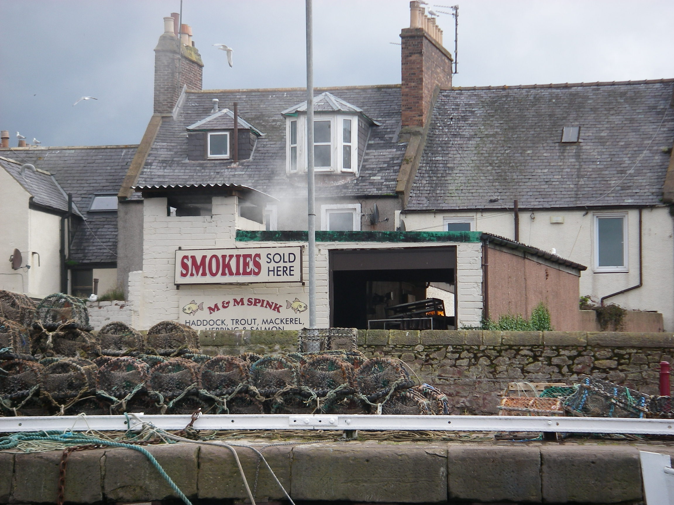
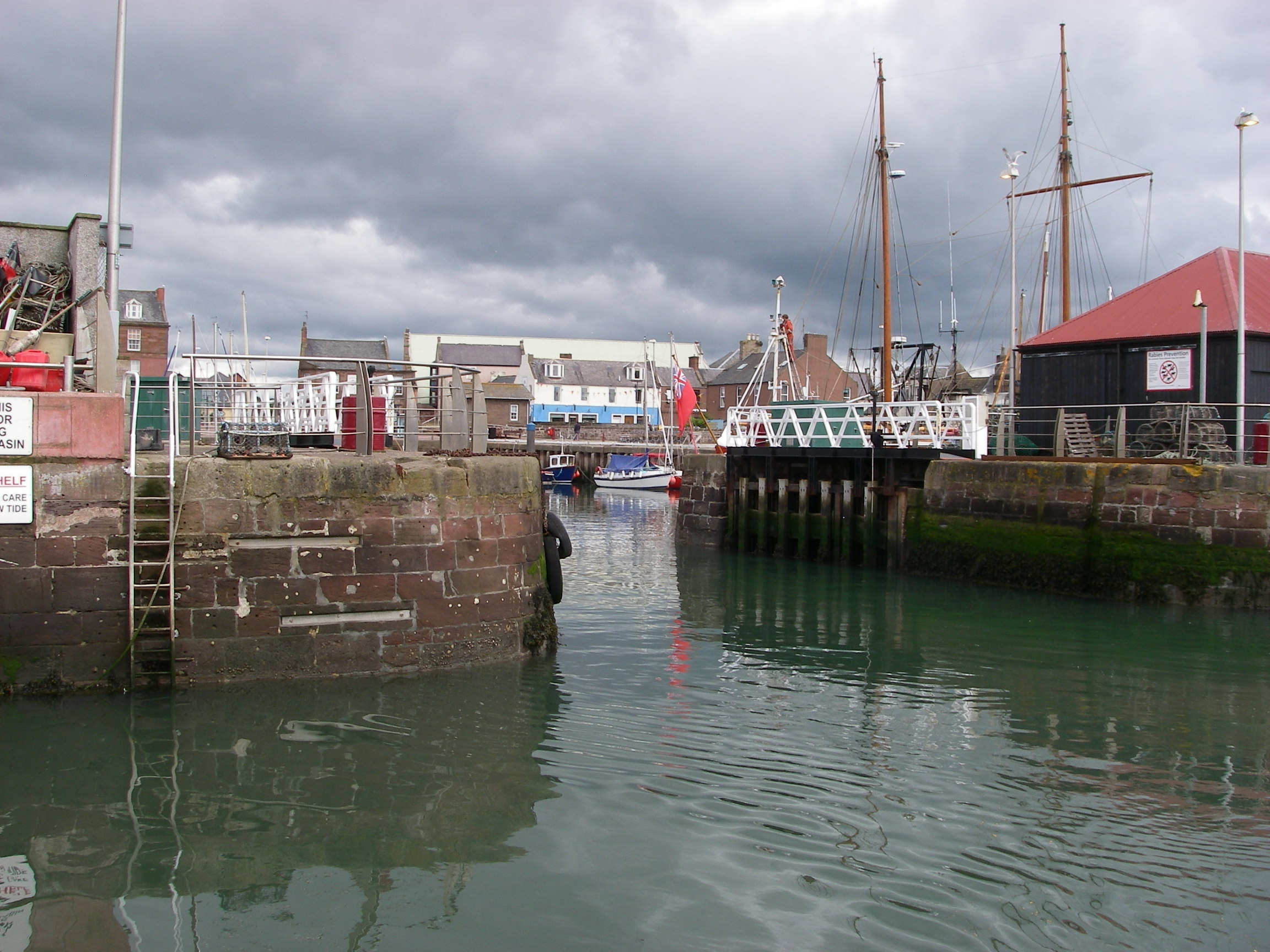
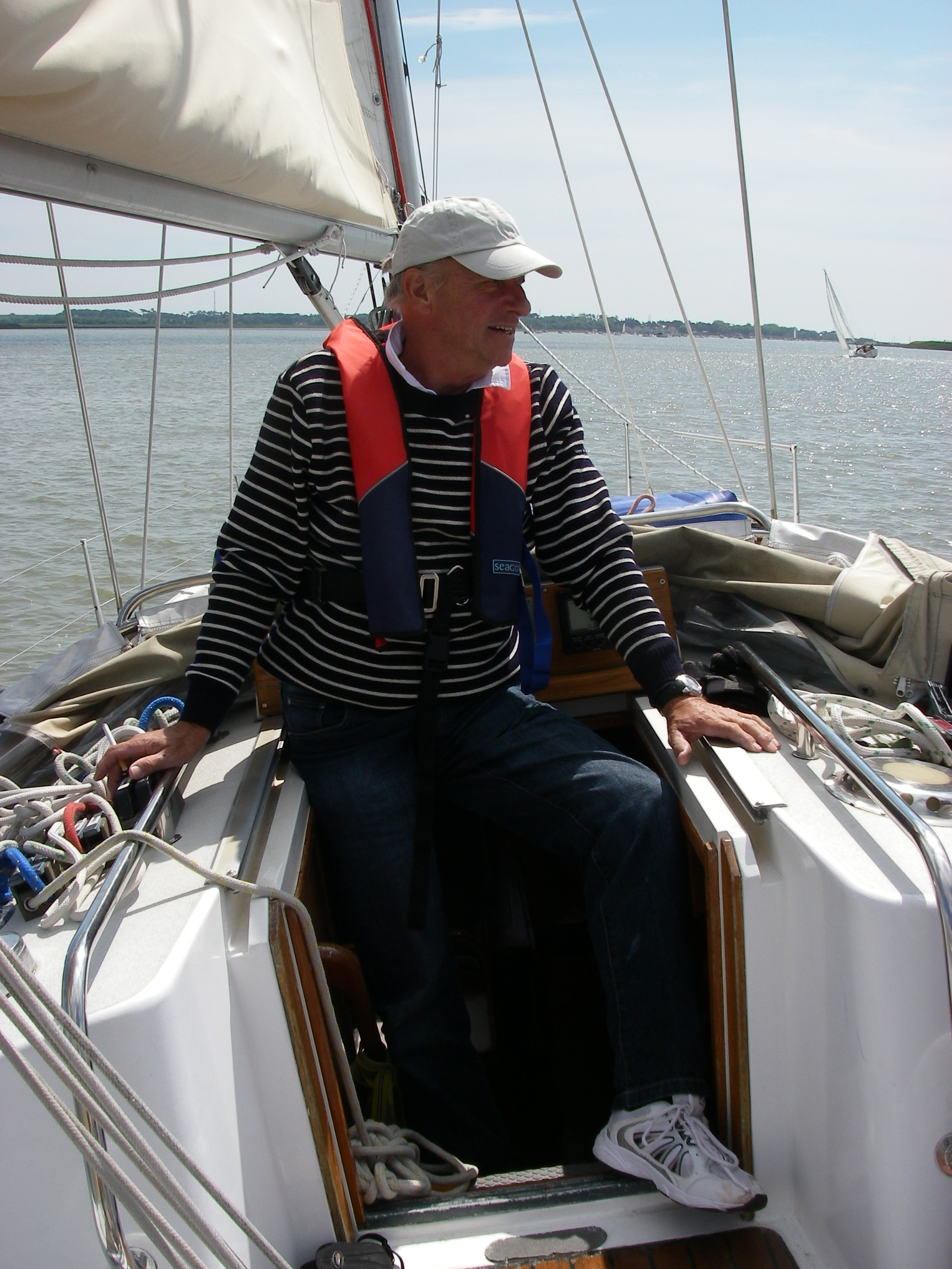
We got back again on 10 July, setting sail next morning for Arbroath, the other side of the Firth of Forth, a fishing harbour which now has a good-sized marina and lock gates to prevent it drying. As the weather grew colder and damper, we only just made it before the gates closed, calling up the harbour master to ask for a delay. If we’d missed the gates, we would have been in for a long night-time slog up the coast to Peterhead. Arbroath is famous for its smoked haddock, or smokies, which have a much stronger taste than kippers, and so there was only one option for supper. Personally, I prefer kippers, especially the wonderful ones we bought in Whitby.
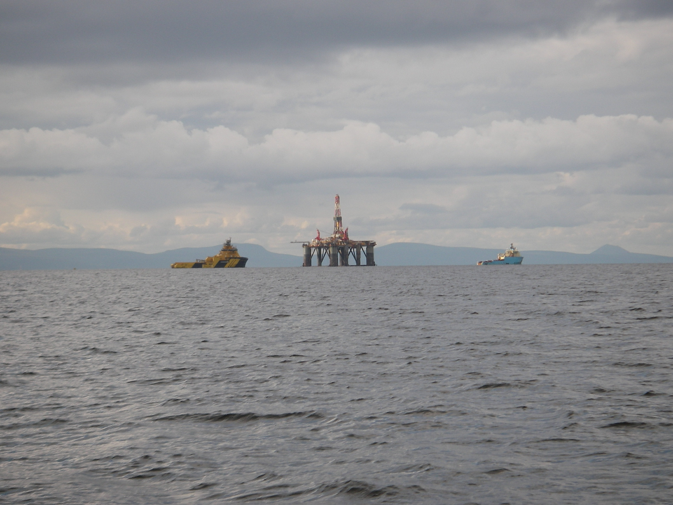
Next stop was Peterhead, about which the less said the better: it is a service port for the oil industry, has a major prison and a rather grim town centre, where we were put off by the amount of blood we found on the pavements outside a couple of pubs the next morning.
We headed north from Peterhead, misjudging the effect of wind against a strong tide around the low-lying Rattray Head by not giving it the suggested 5 mile berth: we had rather a lively time, even in something as gentle as a north-west 4.
Passing Fraserburgh, where we could see some gigantic trawlers berthed, we headed for the tiny port of Banff. Like Eyemouth, the entrance requires you to head for a beach and turn at the last minute when the narrow harbour entrance finally opens up. In fact, you get even closer to the beach on this approach than at Eyemouth, but there are no offlying reefs to complicate matters.
There’s another tight turn into the tiny inner harbour, where the harbourmaster greeted us, proudly informing us that the actor Timothy Spall had wintered his barge on the same pontoon during a TV series he made about a round Britain cruise. It was tight getting in for us, let alone a 70 foot barge. Banff, is an attractive small town within easy reach of prosperous Aberdeen, and has several good restaurants and pubs.
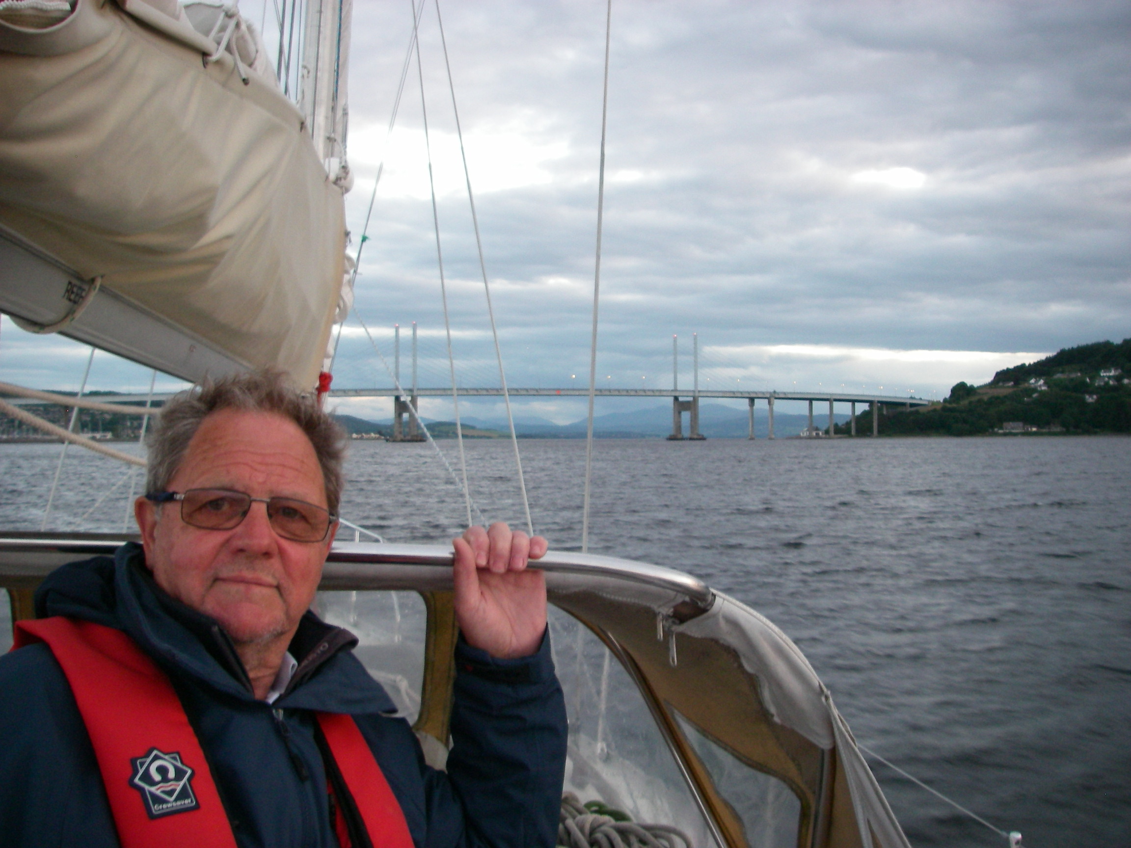
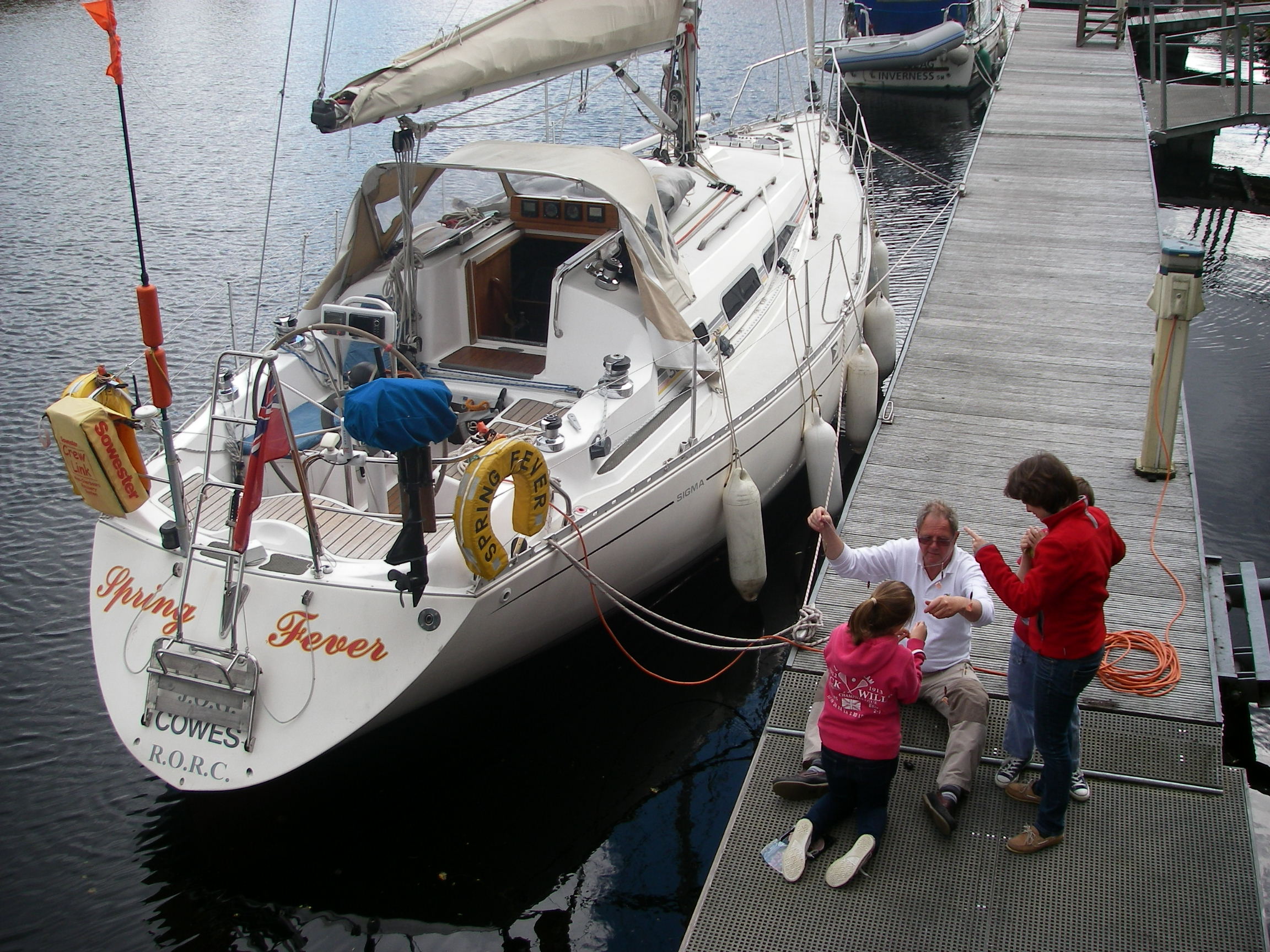
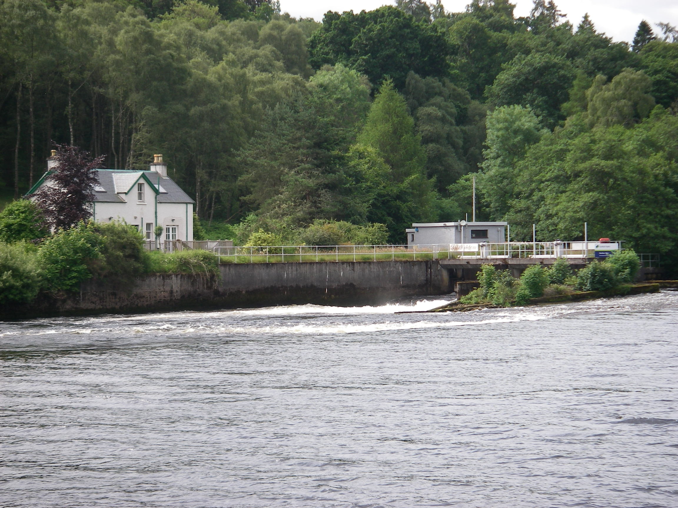
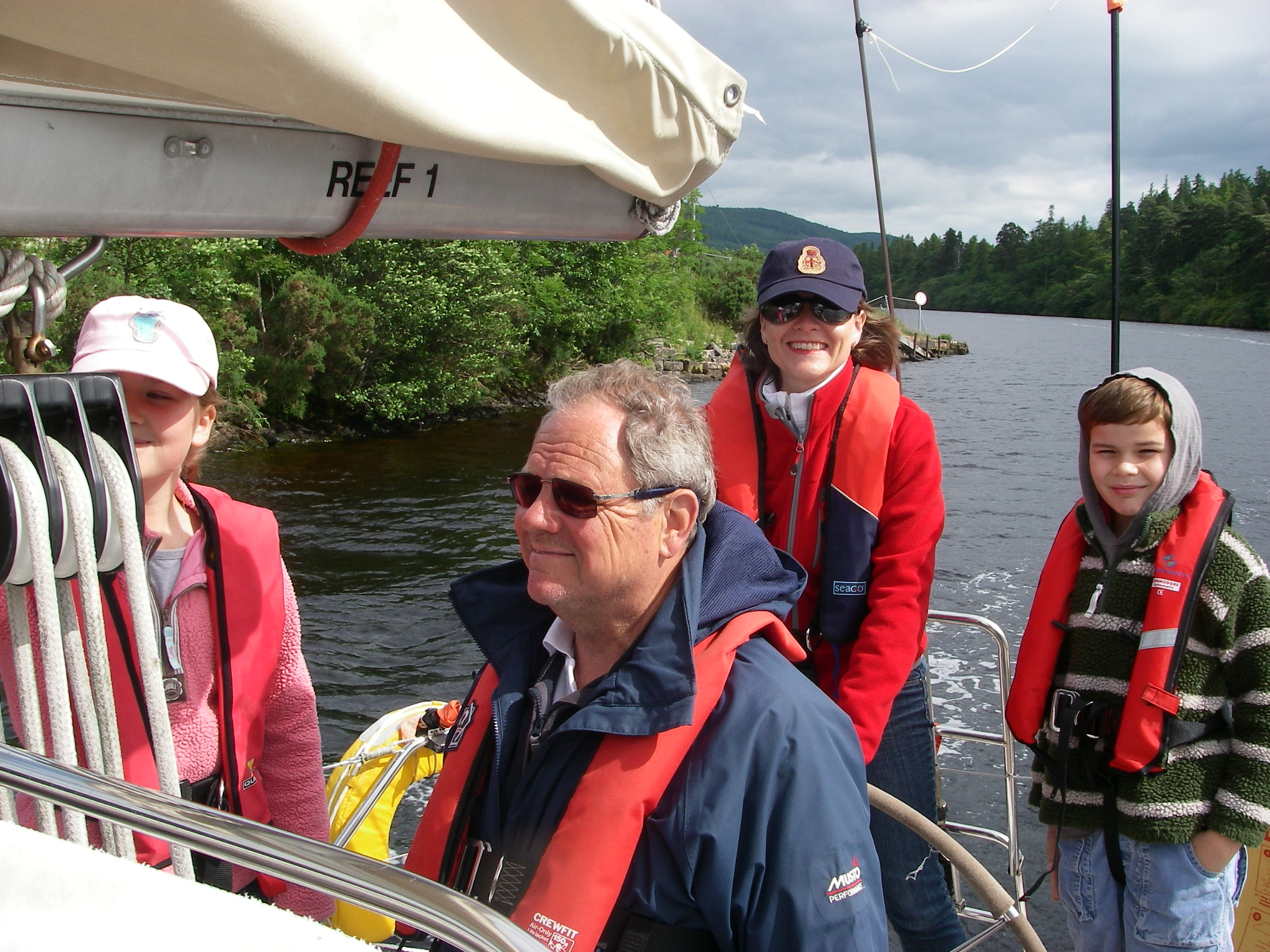
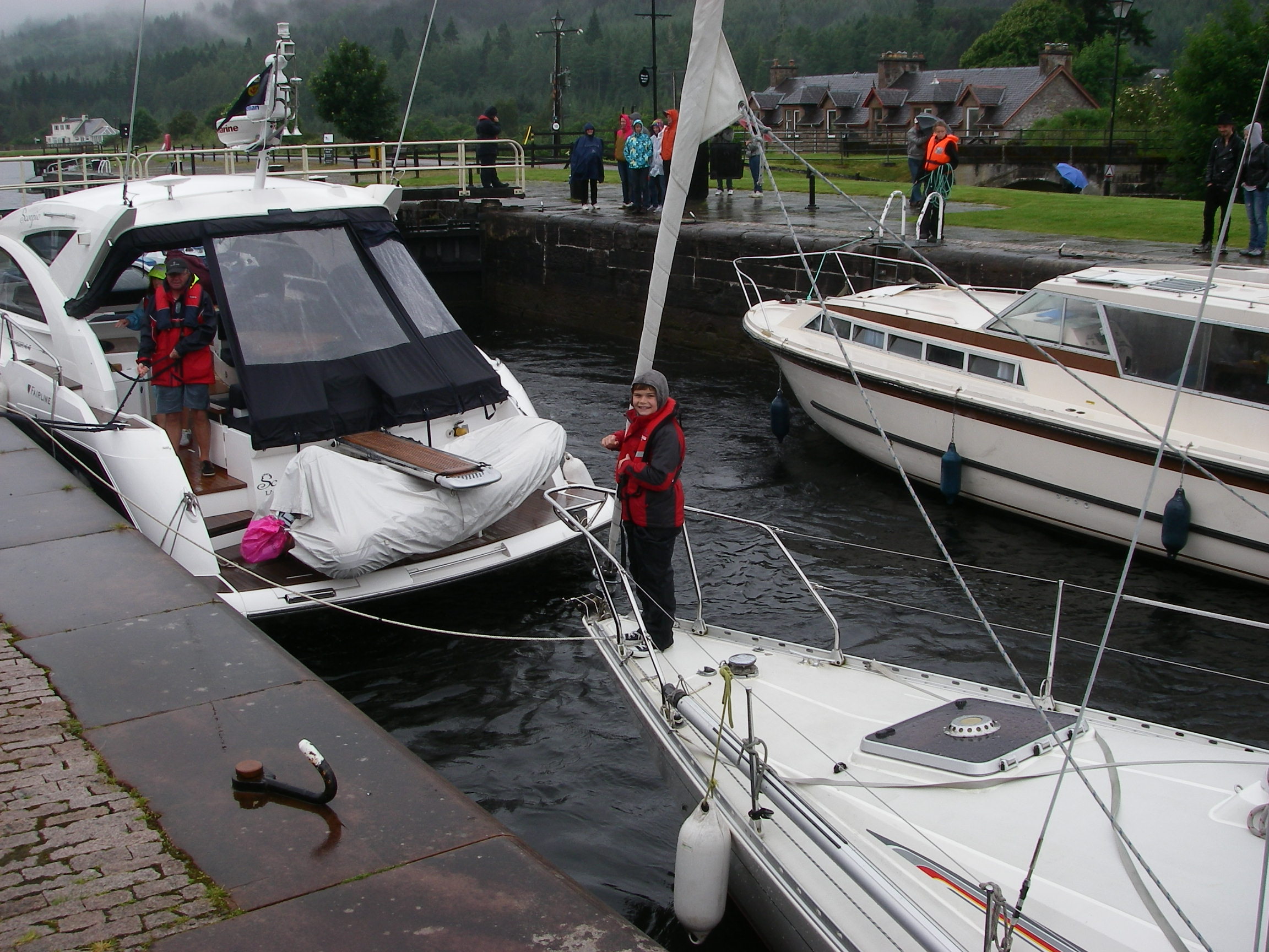
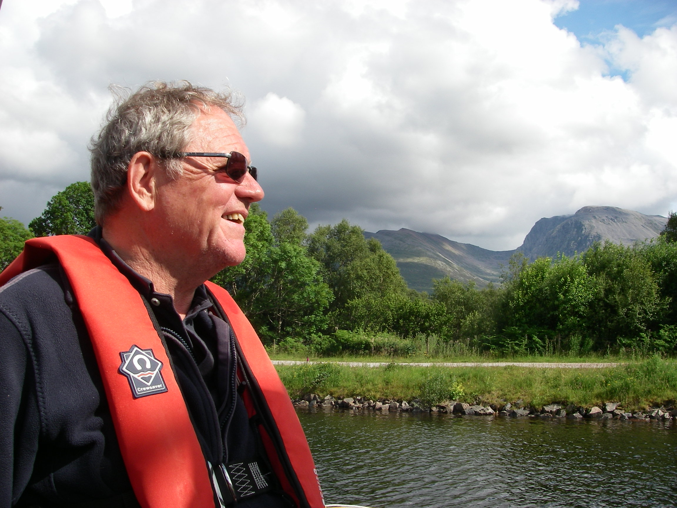
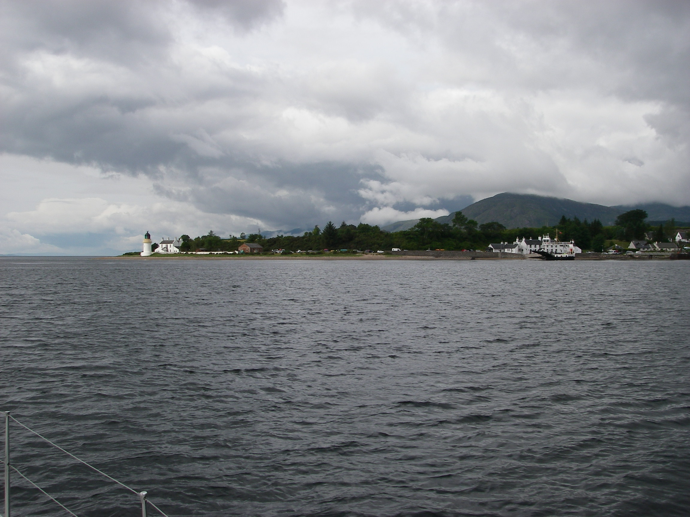
From Banff, we beat west for a full day along the Moray Firth in fine bright north-westerly weather, reaching Inverness in early evening, where we berthed in the marina, waiting for our next crew (Tony’s niece Emma and her two children), before locking into the Caledonian Canal for a peaceful few days cruise through to Fort William.
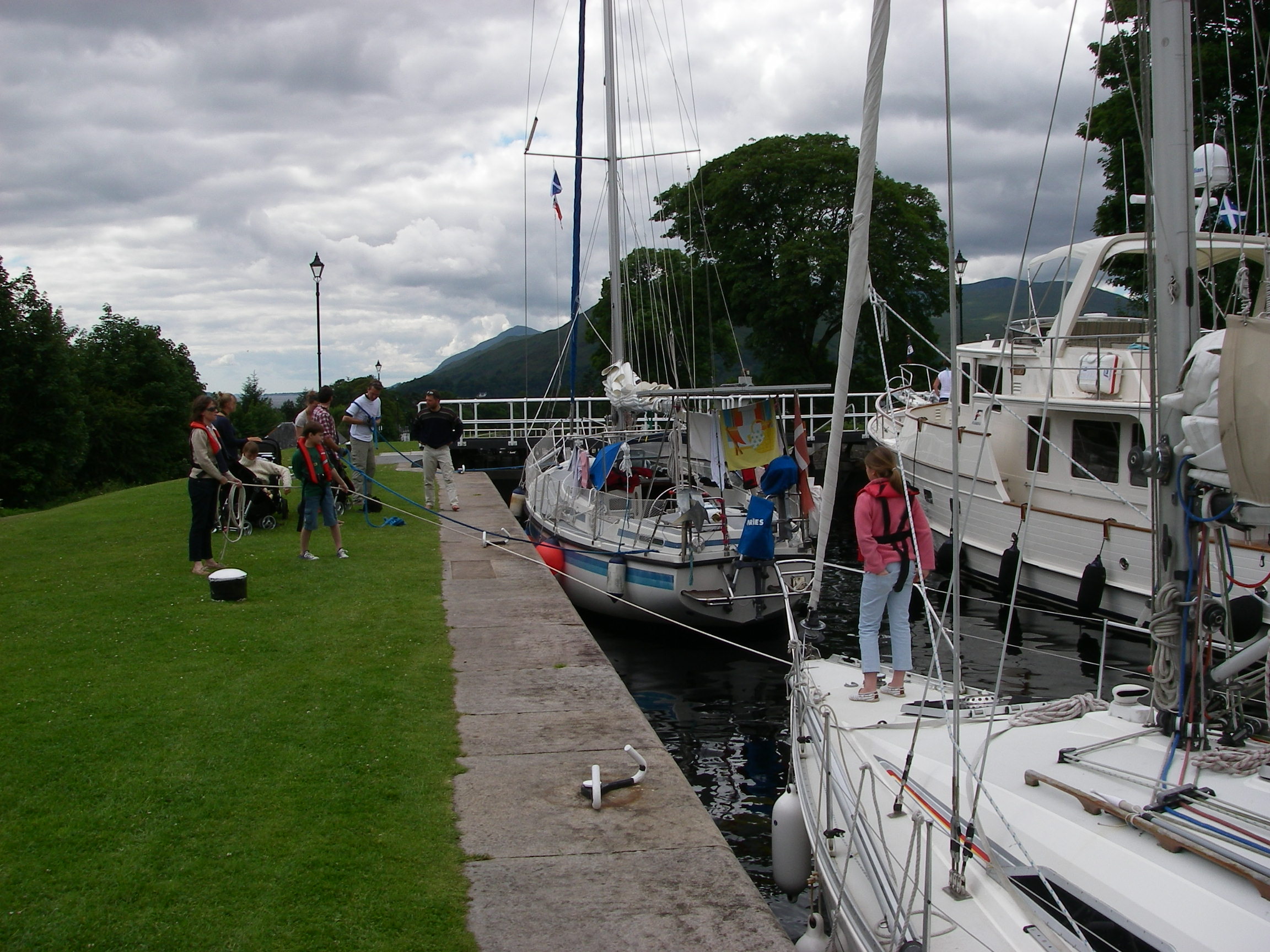
After locking in and paying our dues, we found a berth – free once you have paid dues – and explored Inverness on foot before taking Spring Fever along the canal to Loch Ness.
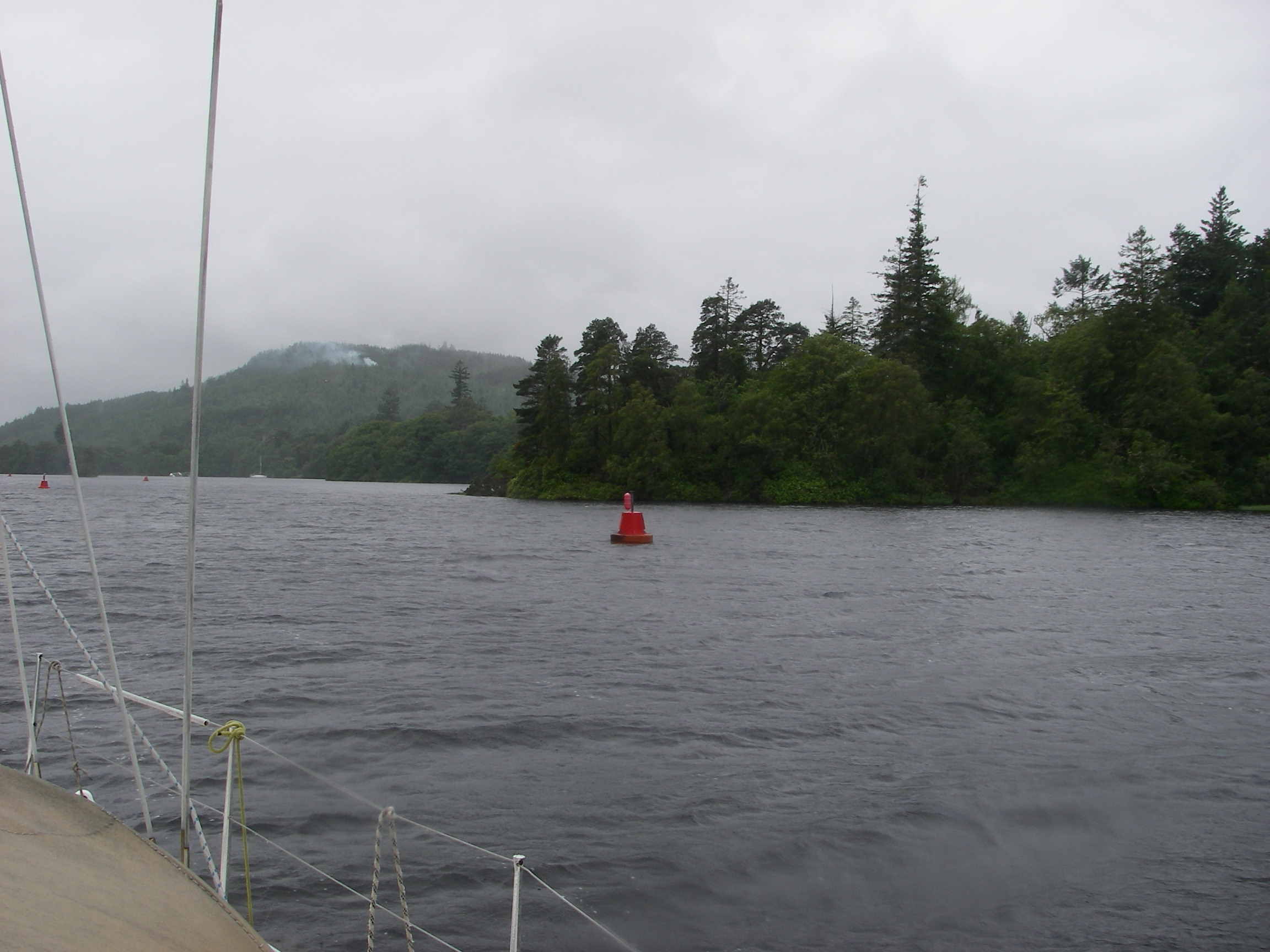
Much of the 65 mile length of the Caledonian is taken up by this and other rocky-shored lochs, and there is a limit to the number of mooring options; if you are on a holiday where eating ashore is important, then it needs some careful planning to be at the right place at the right time.
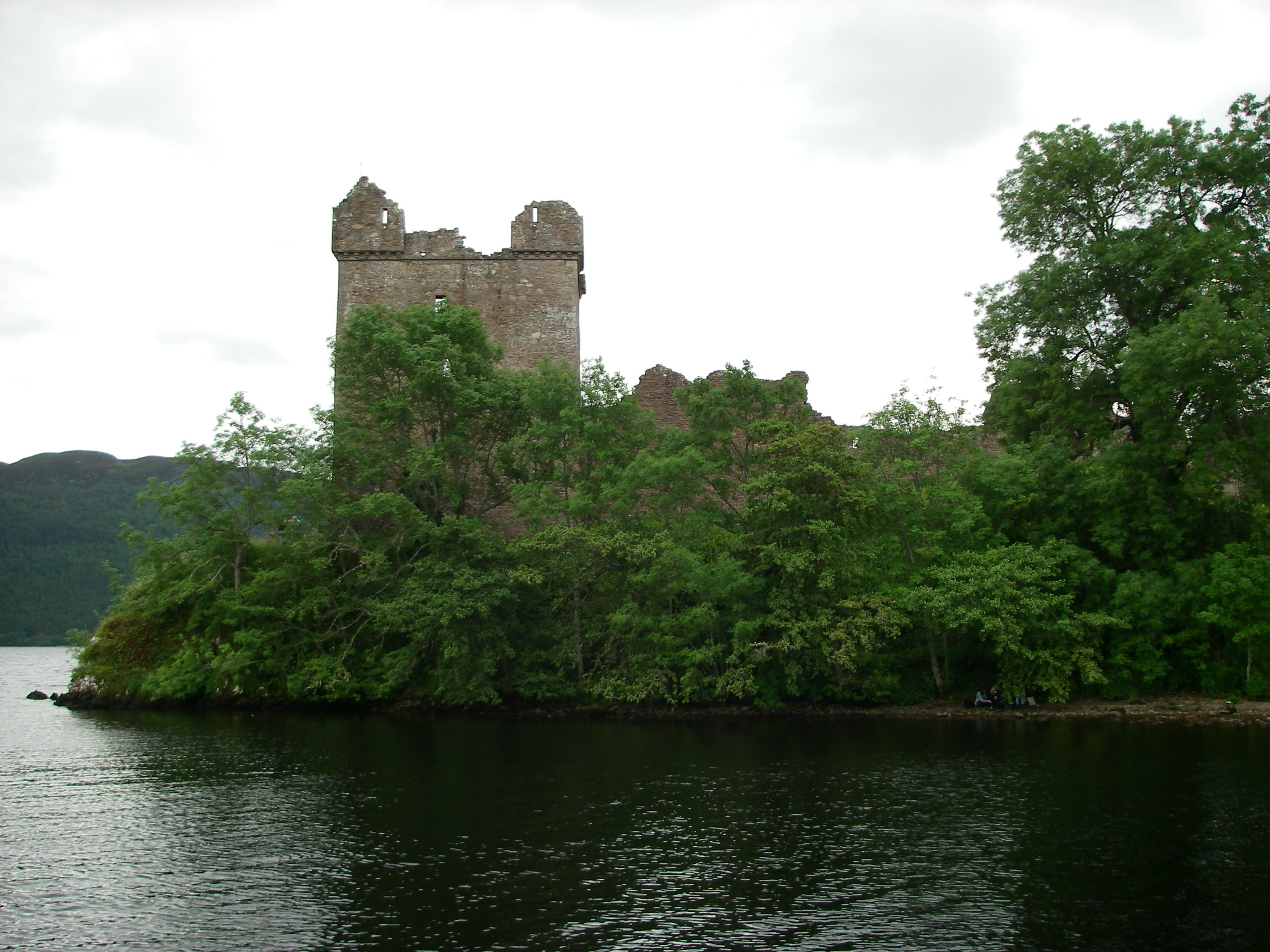
 On Loch Ness, one of the few easy anchorages is off the ruins of Urqhart Castle, controlled in the early 14th century by Robert the Bruce, and the scene of many battles over a rough and tough 500 year history. There is a landing stage which makes for an easy trip ashore to visit the castle and grounds. At the anchorage you can spot the glass-bottomed boats which take visitors on Nessie hunts, looking for the monster. There are wonderful views down Loch Ness and the Great Glen, the huge fault that splits Scotland in two. But the Loch is not a particularly friendly place for a cruising boat, with its steep sided hills, strong winds and shortage of anchorages.
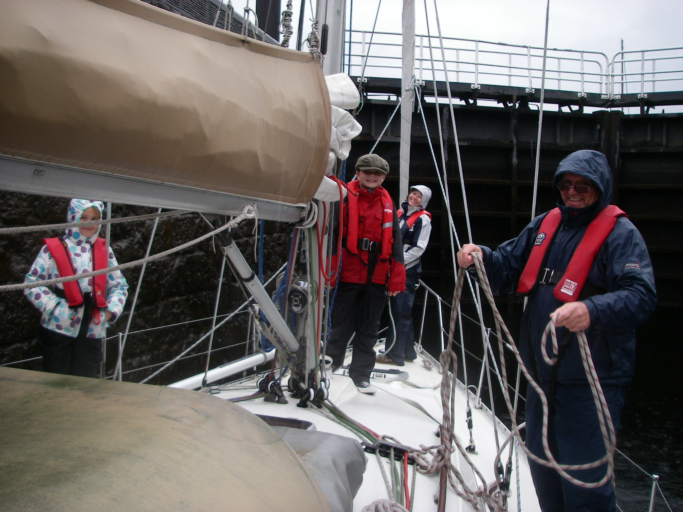
Afterwards we headed straight for Fort Augustus and its pubs and restaurants, and some folk music, ready for the ascent of the staircase of locks the next day.
It rained all the time as we juggled the ropes to keep Spring Fever steady in the locks, but it was warm enough and there was wonderful smell of the pine and heather in the air, so we didn’t care. There was a stretch of canal and then little Loch Oich, the highest; in the canal just past the end of the loch we moored for the night and had dinner on a pub-barge nearby.
After Laggan Locks we entered Ceann Loch which leads into Loch Lochy, which is not as big as Loch Ness, but in my view more beautiful.
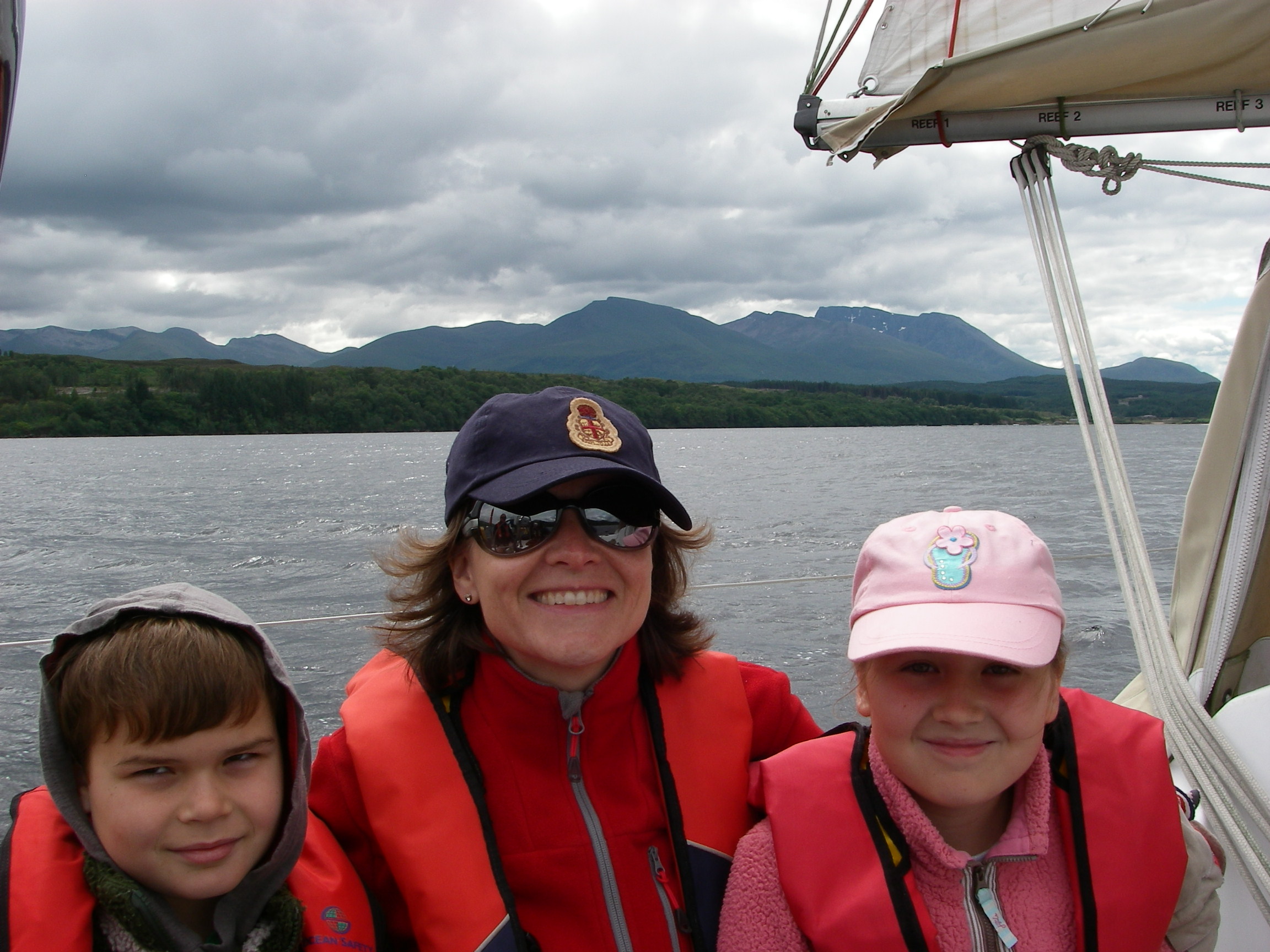
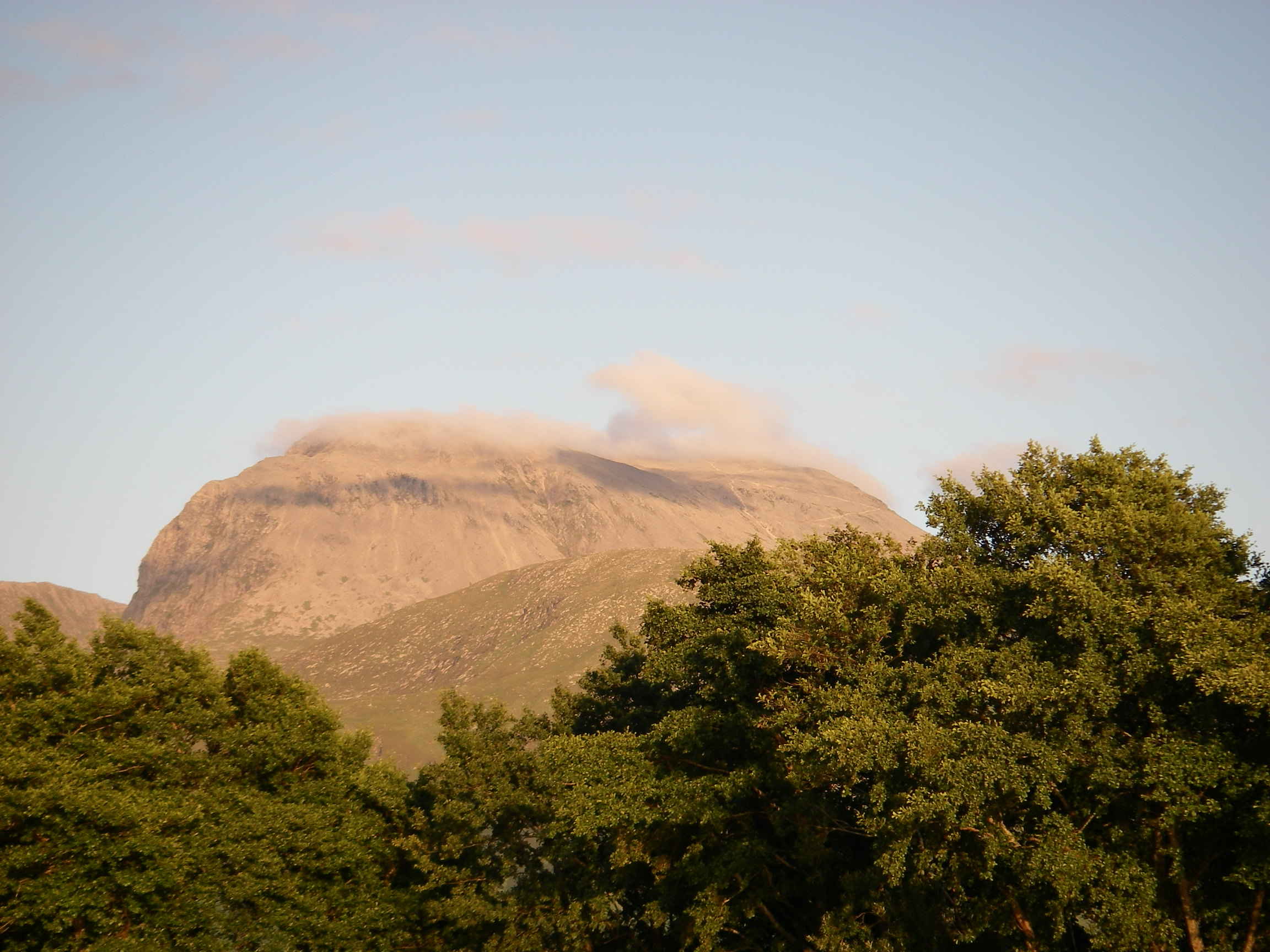
At the end of Loch Lochy, Gairlochy offers a pontoon but not much in the way of facilities. It is a good place to rest before heading down the final stretch of canal to Fort William, where there are splendid views of Ben Nevis.
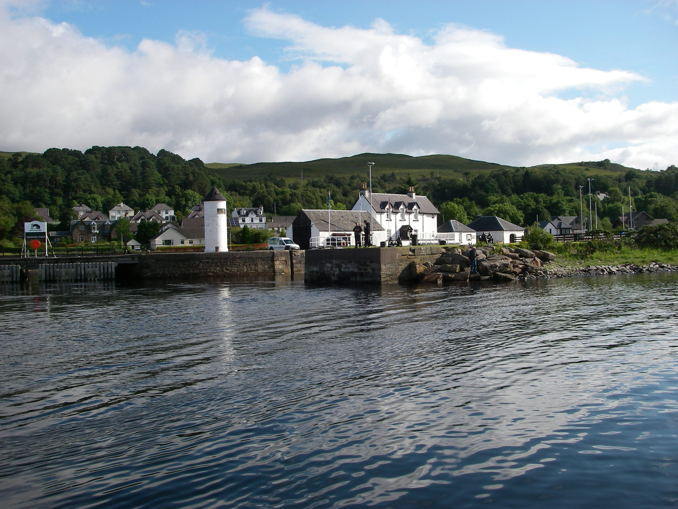
The canal doesn’t actually go to Fort William but to Corpach, a short way away, where these is a station on the railway line from Fort William to Mallaig, opposite Skye.
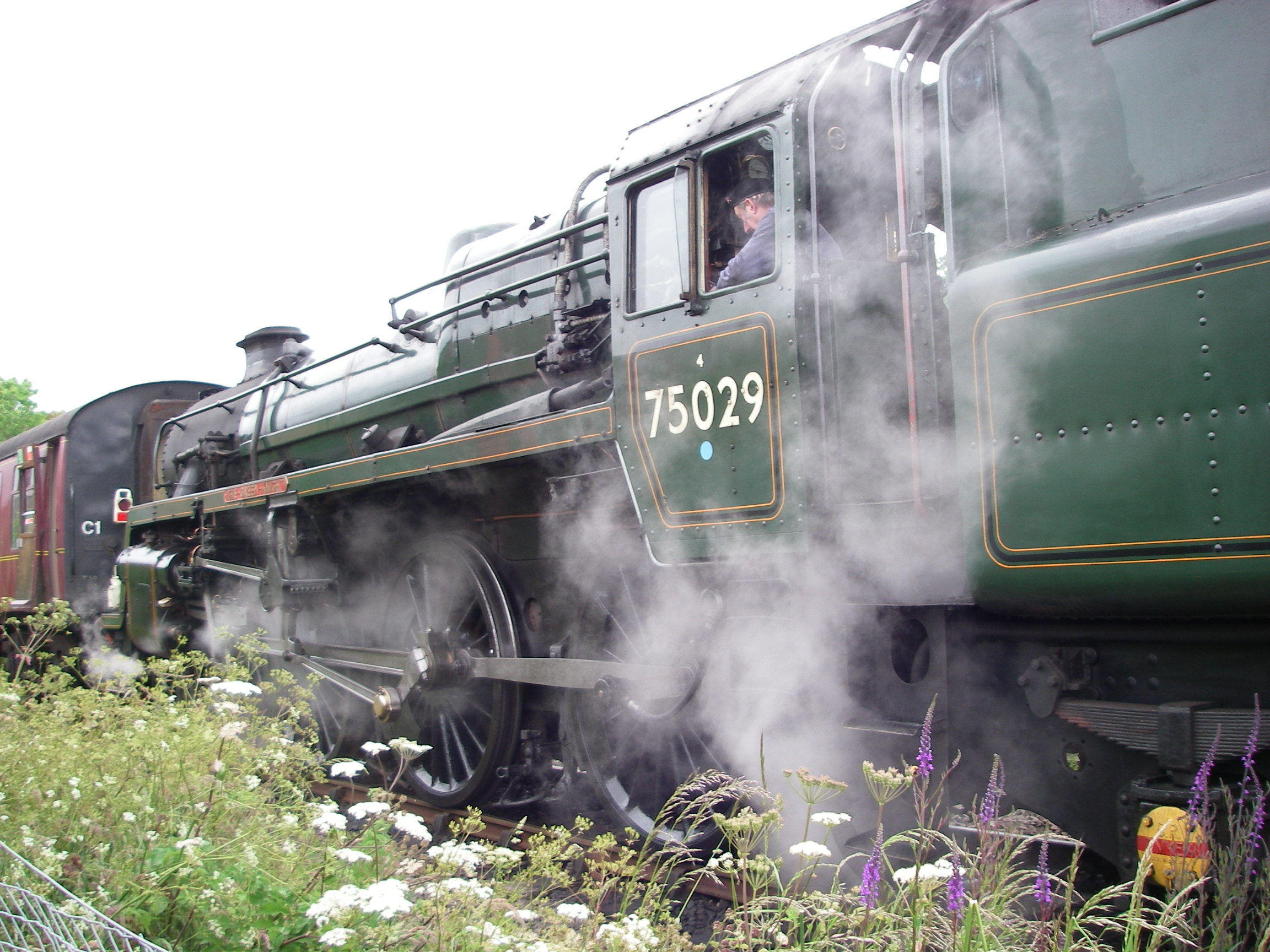
This is the line used to film the train to Hogwarts, Harry Potter’s school. The tourist brochures now call it the Harry Potter Line and there’s a steam train running regular trips from Inverness to Mallaig and back. They have to be booked well ahead.
With Emma and the children on the way back South, we left Corpach on a cold, grey day for Oban, where we arrived on 27 July and left the boat for a few weeks while we went back South – this time for the Olympics, because we had precious tickets for some of the events.
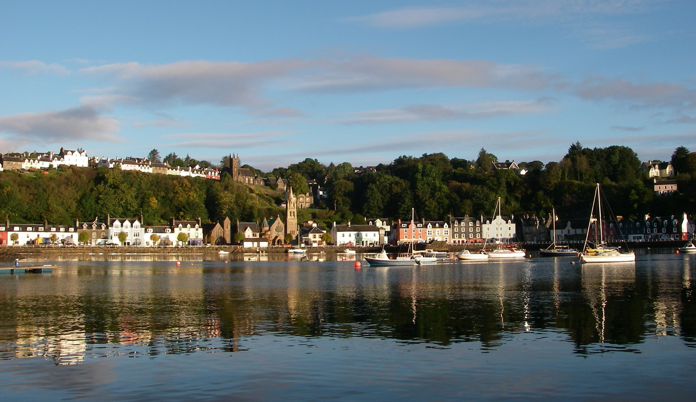
Before laying up for the winter in Scotland, we explored a bit further in late September, up the Sound of Mull to Tobermory.
Then we explored Loch Sunart and Loch Drumbuie, sailed out past the tip of the Ardnamurchan peninsular…
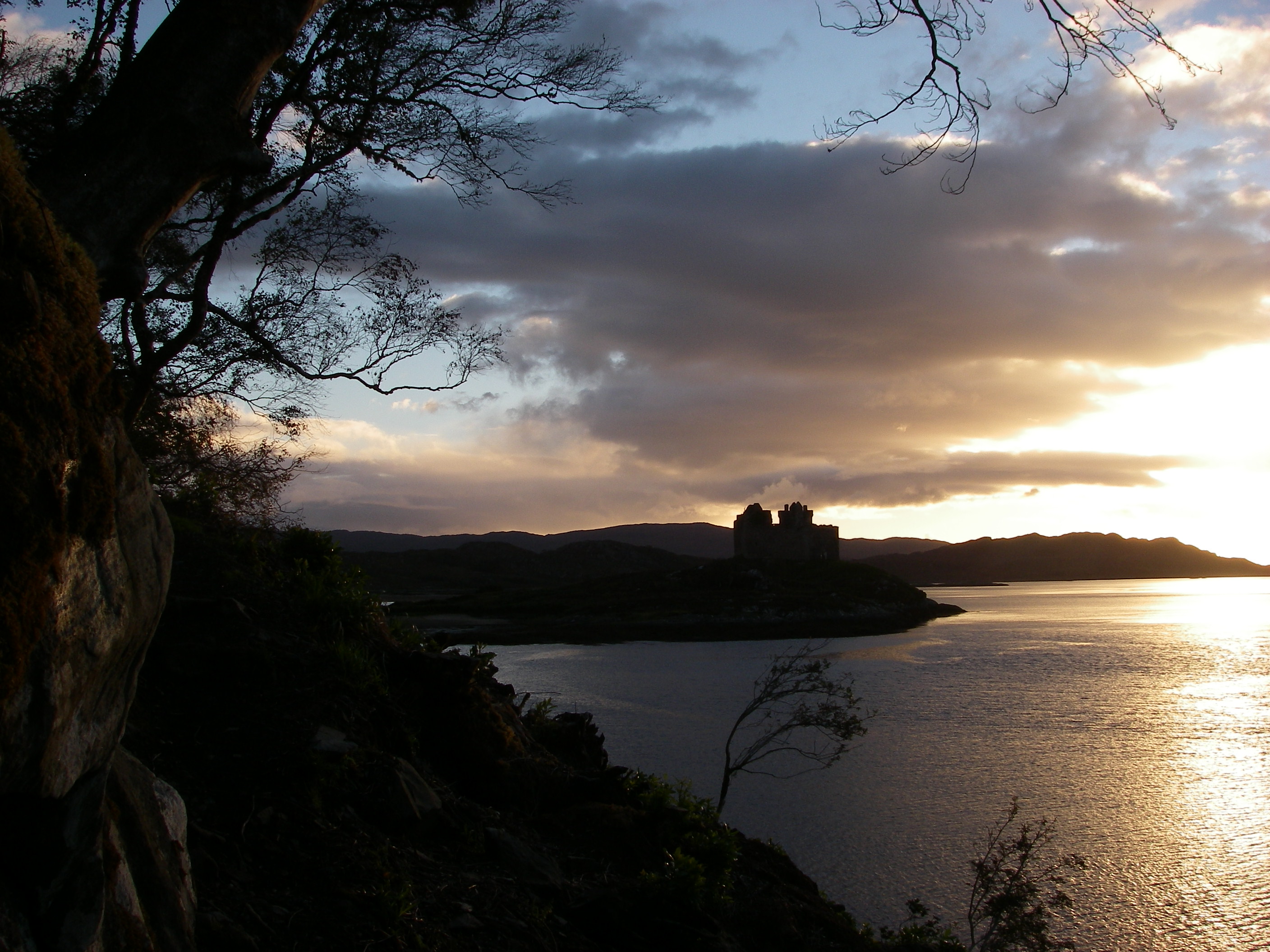
….and round into Loch Moidart, which is only safe to enter in offshore winds, because the route in is essentially from one rock to another in a series, each of which is identified by detailed drawings and pictures in the pilot book. The chart plotter is useless on the way in, but once a safe track is established, makes for a much more relaxing exit. Once in, this is one of the most beautiful and tranquil places on the West Coast.
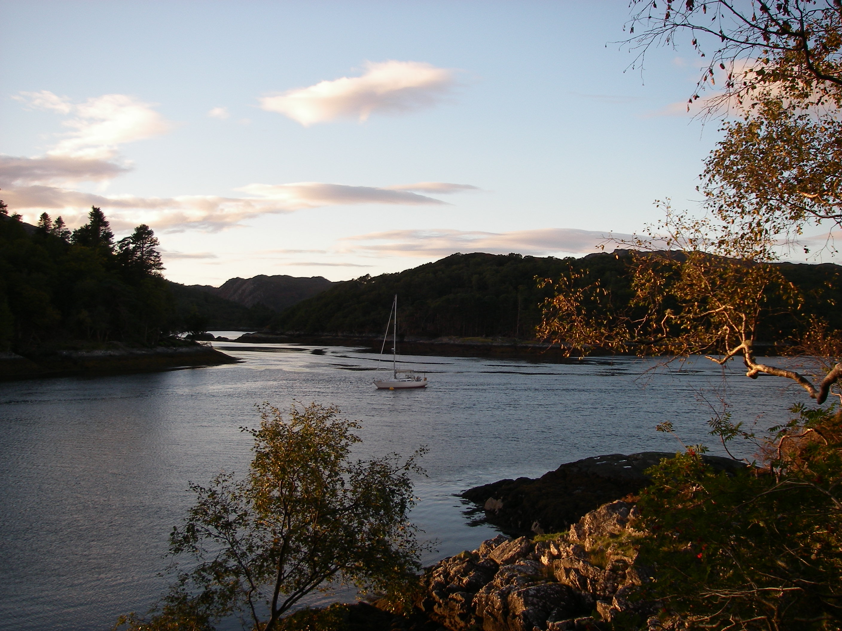
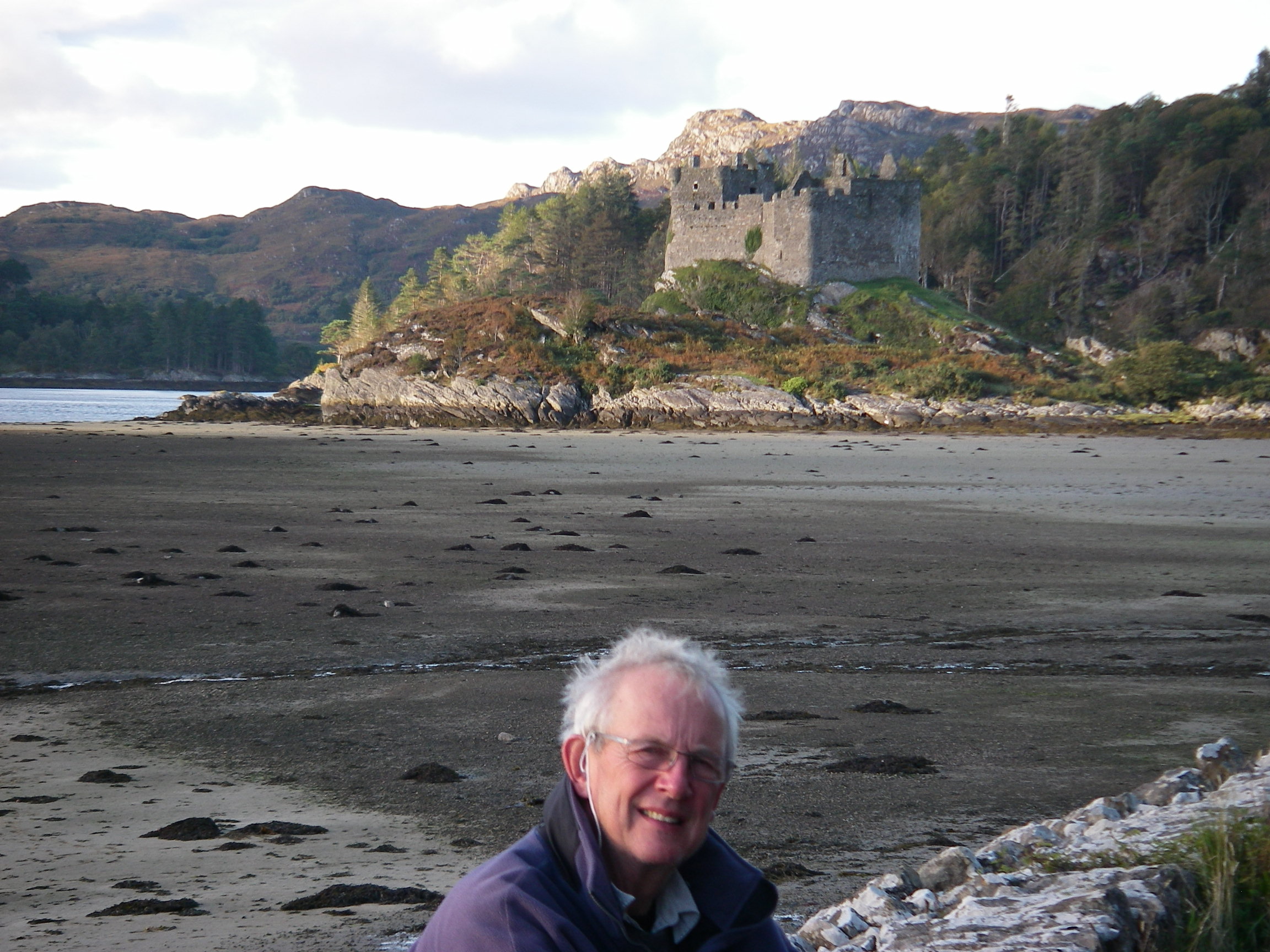
There is good deep water for anchoring, and some lovely walks ashore.
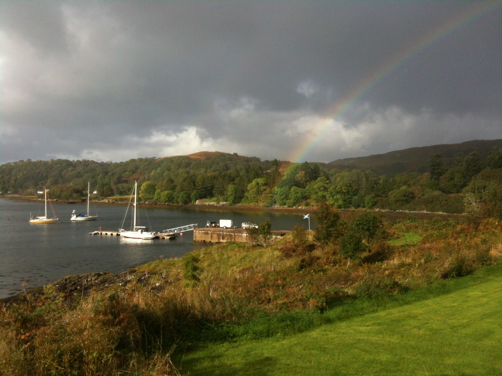
From Moidart, we visited Rhum then – with a bad forecast – headed for shelter in Mallaig, which has new yacht pontoons but is not the most comfortable of harbours. We spent a day exploring Loch Nevis then headed for the extraordinarily sheltered harbour of Arisaig, with its demandinng and hard-to-spot entrance and long channel winding through the rocks. From Arisaig we scooted back to Tobermory for the night, at high speed in a northerly six and brilliant sunshine; the next day we went back down the Sound of Mull and across to Loch Feochan which, with its narrow, shallow, winding entrance, is a bit of a challenge the first time. Once through, the loch suddenly opens out. Ardoran is a boatyard based on a farm in a protected corner of the loch; we had booked to stay there the winter.
Spring Fever was laid up ashore a few weeks later in a sheltered disused quarry behind the boatyard.

2 thoughts on “Round Britain 2012-13: Cowes, Whitby, Inverness, Oban”