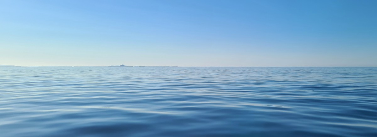
The West of Scotland had the best weather in the UK in May, for the whole 18 days we were there. Bright sunshine, blue sea and mainly light north and east winds were ideal for checking out new anchorages and visiting old favourites, several of which we’d have avoided in any other kind of weather.
After fitting out for three days in Kerrera Marina, we spent the first night in Loch Droma Buidhe, near the entrance to Loch Sunart.
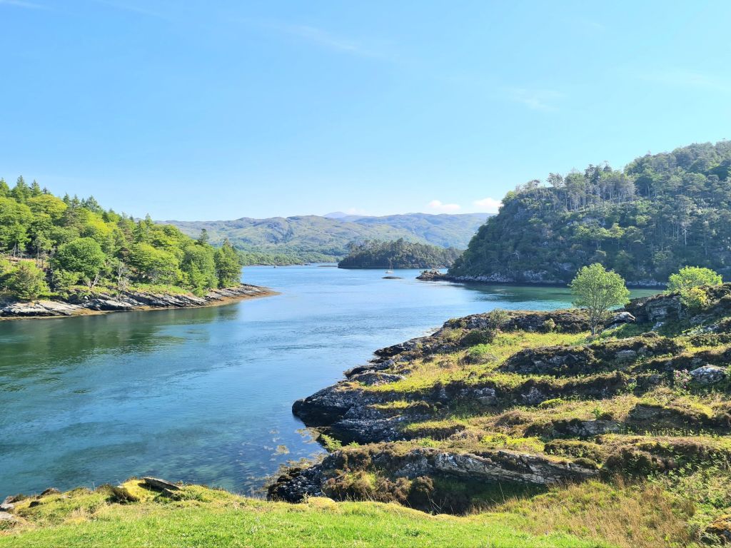
The next day we explored Loch Sunart, picking up a buoy at Salen for a lunch stop, and then to Loch Teacuis for the night, which branches off Sunart. Teacuis has a difficult, rocky entrance but opens up into a beautiful sheltered space, surrounded by woods and hills. It is close to Droma Buidhe
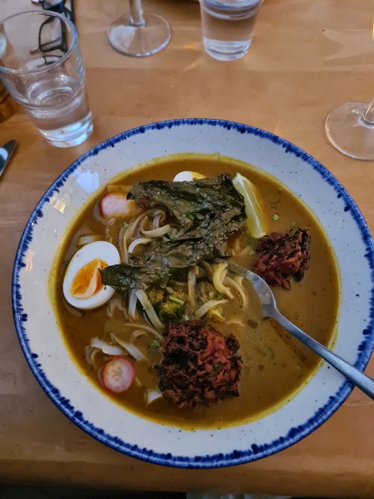
Next stop was the lovely little island of Canna in the Sea of the Hebrides, timed for the Canna Cafe. Last year we arrived on a Tuesday and found that was closing day. (This year, Tuesday’s a pizza night). There’s a delicious and inventive menu, featuring seaweeds in all sorts of combinations with fish, vegetables and meat. The chef’s Canna Cookbook is a big seller which recently we saw displayed prominently in Waterstones, but we took home a copy from the café and plan to try out its advice on cooking seaweeds.
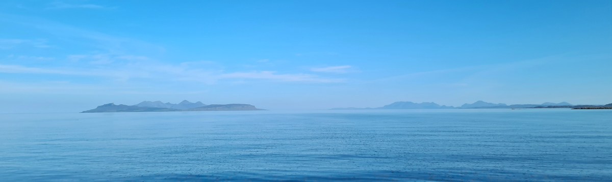
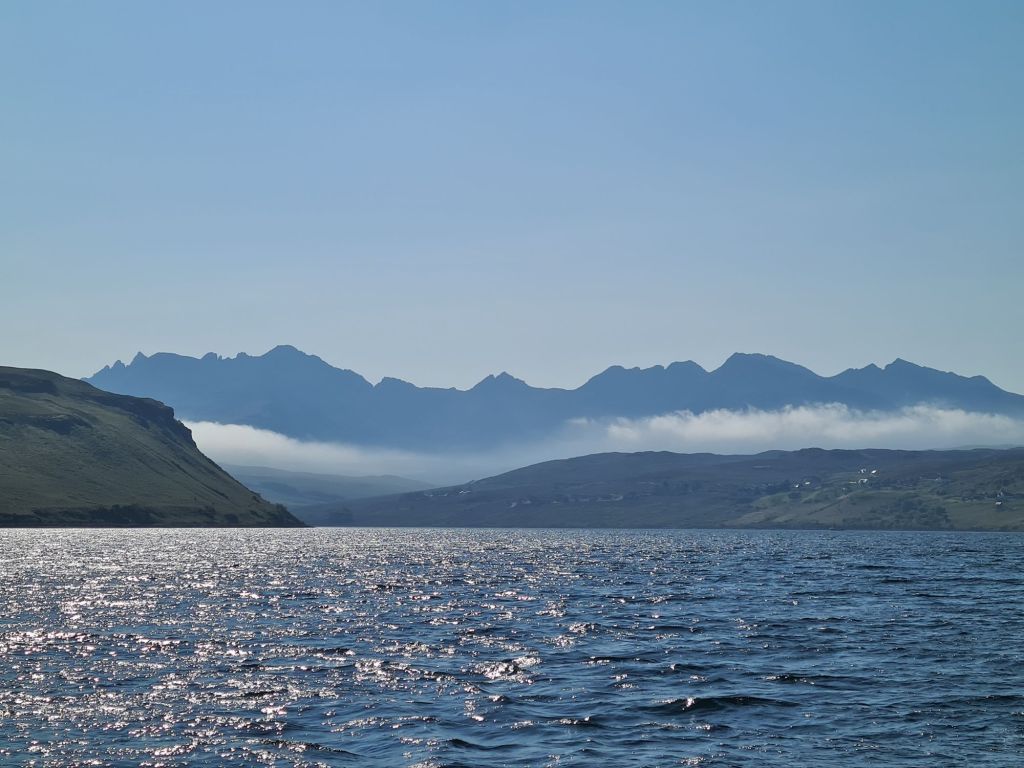
From Canna we made a lunch stop in the spectacular Loch Scavaig, which is surrounded on three sides by the dramatic Cuillins of Skye, mountains of modest height but tough reputation, which rise from sea level. The Cuillins include 11 of the 282 Munros, hills over 3,000 feet, which keen walkers in Scotland spend many years ticking off on their maps. The Pinnacle in the Cuillins is the only Munro where ropes have to be used.

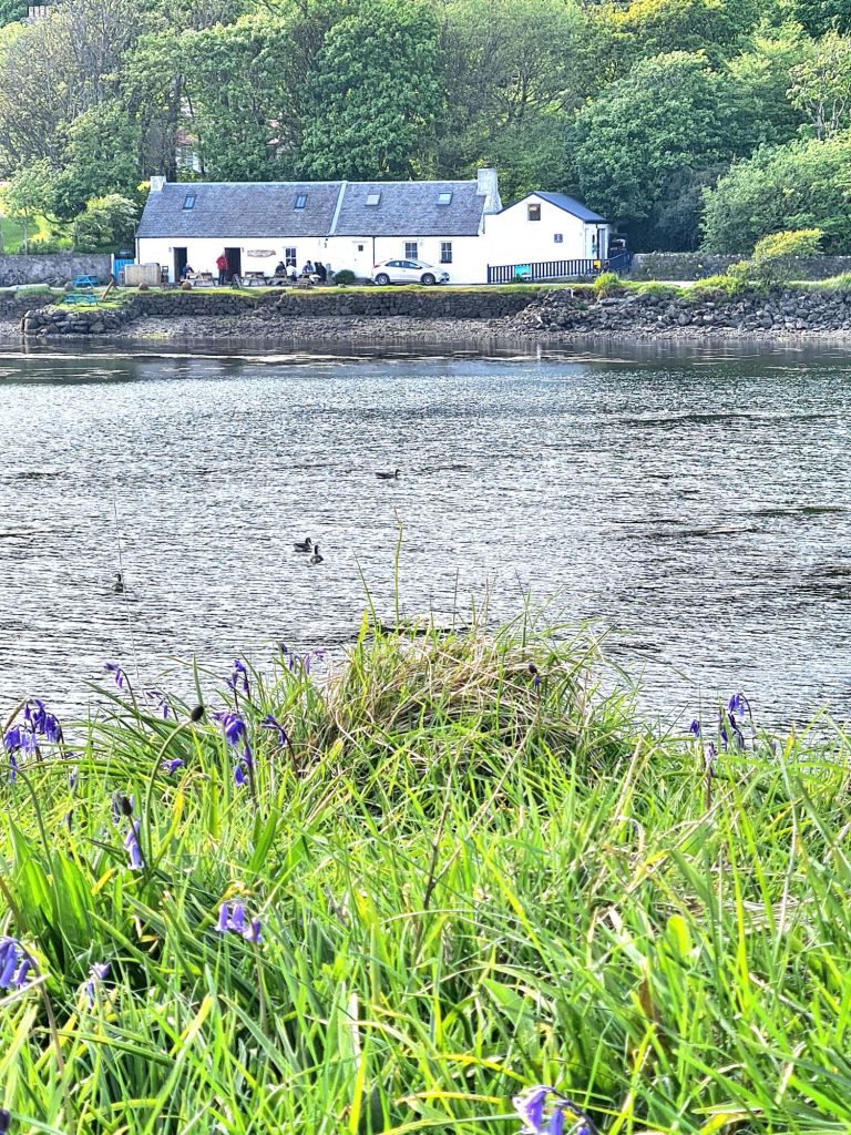
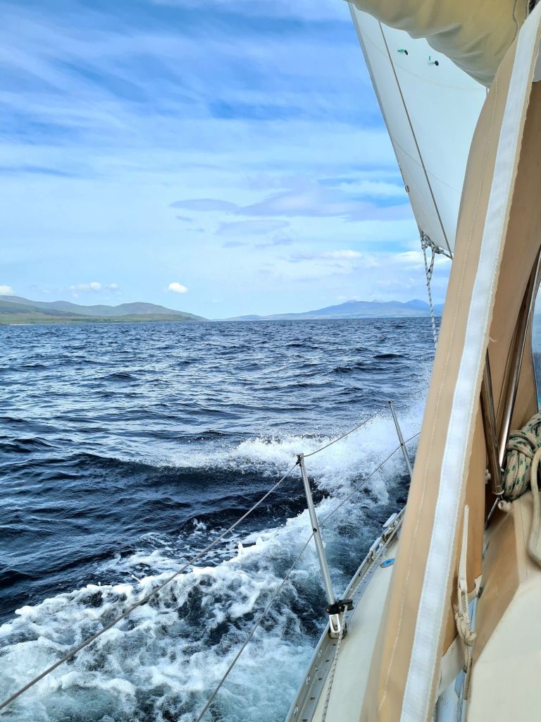
We spent the night in Loch Harport, after beating 20 miles up the coast in an unexpected Force 6, which was dropping off the Cuillins on an evening that was probably much calmer everywhere else. Loch Harport was serene as soon as we entered. It is home to the Talisker distillery.
Next to see was the beautiful Loch Moidart on the mainland, last visited by us in 2013 and inaccessible if there is strong onshore wind or swell.

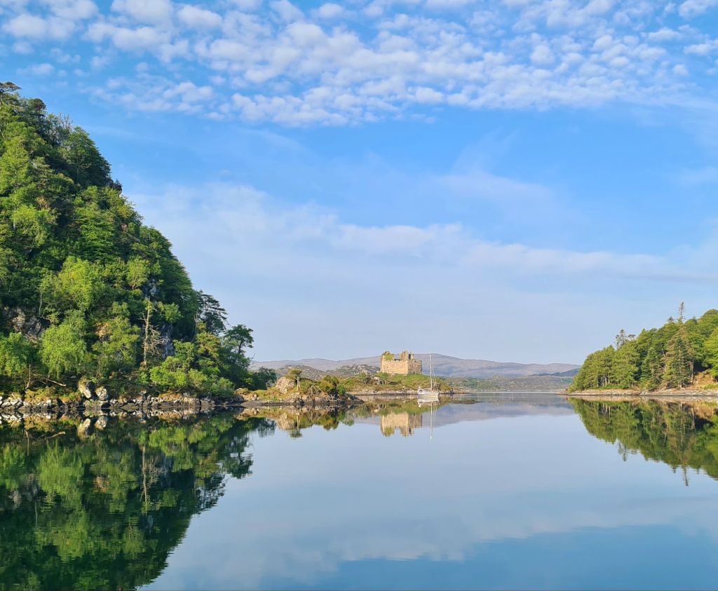

A local sailor said Richard Branson’s sister owned Shona, the largest island in the loch, which has a mansion with guest houses scattered around it in the woods and by the shore.
After a week away we spent the night at Tobermory for fuel, water, groceries and a shower, and then enjoyed a gentle day-long motorsail in light winds round the west of Mull. We went past Fingal’s Cave on Staffa, through the Sound of Iona, passing the Abbey. For photos of both see last year’s cruise book.
Next stop was Loch Ardalanish, on the south coast of Mull, which we would never have attempted without the excellent Antares large scale modern charts. They are an absolute essential for any Scottish cruise, and we first used them in 2012.
Just like off the Cuillins, the wind suddenly rose to Force 6 in the lee of the hills on our way along the coast, so we were nervous as we battled through the narrow rocky entrance – only to find a magical calm as the lay of the land entirely protected the little bay.
There’s room for very few yachts to anchor comfortably but luckily we were alone. There’s also a second even smaller branch of the loch right next door, where another yacht spent the night.

Next day we tried another complicated rocky entrance, using Antares, when we motored into Inner Loch Tarbert, which took us to the centre of the island of Jura.

After a good night’s sleep we went down the Sound of Islay with the tide, then inshore of the Ardmore islands, carefully following the Antares chart. The short cut looks too difficult on any other chart. That night was the only uncomfortable one, spent on a buoy outside Ardbeg distillery on Islay, where a nasty little chop made the boat rattle and squeak all night. (We skipped the distillery visit).
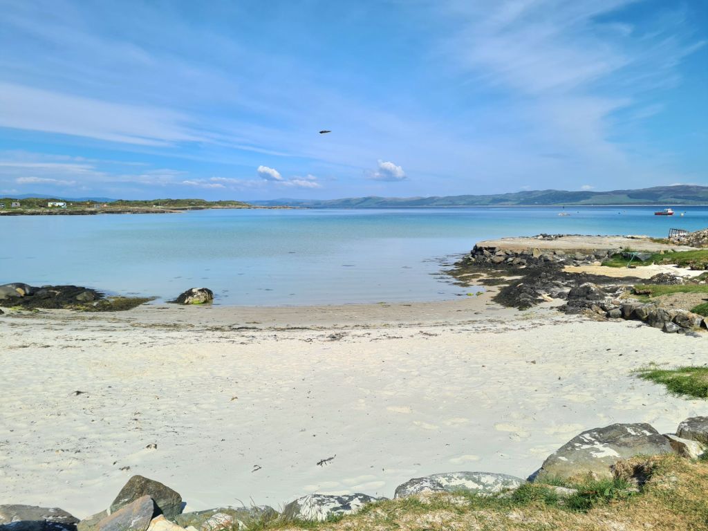
With the wind in the north, veering east, we headed for Loch Stornoway, on the mainland just north of Gigha, because it is perfectly sheltered in these conditions (but badly exposed in southerlies). The Admiralty chart labels the loch as dangerous because of the extensive reefs in the entrance, but Antares charts show a simple way through, and once inside the loch it is broad, shallow and sandy.
We were so relaxed on a sunny evening that we just put out the usual 4 times depth of the chain, and had a harsh lesson as a result: there was a sudden short blast of wind from the east at 1am that ripped the anchor out of the sand. We should have been more alert to that risk after the two previous unexpected strong winds, neither of which had lasted more than an hour.
I’ve never seen an anchor drag so far, so fast and – luckily – so noisily. We doubled the chain length and went back to bed, checking regularly for the rest of the night. But Spring Fever did not budge another inch.
It’s a warning for the future: even in benign conditions, Scotland can produce blasts of wind. It has prompted us to extend our ground tackle before we sail again. (We had 30 metres of chain plus 50 metres of rope, but have since doubled the rope length. A racing hull cannot take the weight of chain in the bows that many Scottish cruising boats have).
Finally, from Loch Stornoway we went to the delightful island of Gigha, with its temperate climate warmed by the Gulf Stream.
We didn’t stay the night at Gigha, deciding instead to go back to Loch Stornoway for its perfect shelter from the forecast northerly to easterly breeze and also to be 8 miles closer to home for the next day. Needless to say, we put out a lot more chain.
We motor sailed up the Sound of Jura, through the Dorus Mor tidal gate against a fading neap ebb tide and then north up the Sound of Luing – ferociously rough places in bad weather because of their fierce tides, but benign that day.
We gave the infamous Corryvreckan between Jura and Scarba a wide berth, though at neap tides its famous whirlpool and standing waves would be absent, and I suppose we could have gone through if we had really wanted to.
We were back at base on Kerrera by 7pm, ready to pack up and go home. The weather broke the day after we left!