It seems that while my phone is accurate to an error of considerably less than 10 metres, the industry is heading to even better precision of a tenth of that level, and soon. This post looks at why that means satellite accuracy on all devices including smartphones is reaching levels where there are diminishing returns for small boat sailors.
In general, 5 metre satellite accuracy has been available on smartphones for a considerable time now. I give links at the end to industry, US government, academic and consumer articles that give more detail on how accuracy has been developing (and see also my earlier post ‘and a phone to steer her by’).
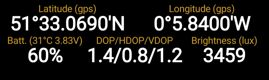
One of the secrets of the top performers such as the high-end Samsung phones, which can achieve 2 metres, is that they now have dual frequency satellite aerials so they can make the best use of the latest improvements not only in the US GPS, but the Russian Glonass, European Galileo and Chinese Beidou satellite systems. Nowadays, phones will often have as many as 40 satellites in the sky from which to choose the best signals.
The most important emerging problem is that we have reached a point where satellite chips in consumer devices such as phones and chartplotters have become so accurate that no nautical chart can be relied on to match their low single figure accuracy, and cartography errors on Ordnance Survey land maps also begin to show up. Satellite system signal errors from various causes, not least solar activity, can occasionally dwarf all the other errors.
Some navigation instructors still claim that smartphones at sea are dangerously inaccurate. It is not a good argument to persuade navigators against using phones to claim that they have errors offshore of “several hundred metres or more”, as the Royal Institute of Navigation’s 2020 book on electronic navigation for small craft wrongly said. Many smartphone users know thats not true. The US Institute of Navigation put mobile phone satellite accuracy at 5 metres as long ago as 2014.
The lesson should be instead that there are diminishing returns for small boat sailors from greater satellite accuracy because other factors come into play.
In fact, I doubt whether many sailors use their phones as other than backup for much more comprehensive electronic navigation equipment. But when using phones, it’s important to have a good idea of their true levels of satellite accuracy, preferably by make and model, and much more information is available if you look for it.
My personal opinion is that a consistent error of 10 metres – worse satellite accuracy than the best current phones – is too good to be useful in practice on a small boat, whether you are using a chartplotter, tablet or smartphone. Anything more is for the world of road navigation and all the new land applications coming on stream. Indeed, offshore, away from hazards, maybe 20 metre accuracy is the most you can benefit from, and that’s been achievable by many old phones for a long time, and is a full order of magnitude less than 200 metres.
The underlying problem for boats is that charts may be very accurate close to a much-surveyed shipping port such as Harwich or Southampton – though even there the buoys swing in the tide by quite a few metres and channel boundaries move between surveys. But away from frequently surveyed commercial shipping areas, charts are likely to be a lot less accurate and should not be relied on down to 10, 5 and most certainly one metre accuracy when that arrives on consumer GNSS devices such as phones.
This has long been a big issue in places like the West of Scotland and the West of Ireland, but also in well-surveyed places like the Thames Estuary where there are constant movements of the banks that surveys cannot keep up with.
I have a rule of thumb when using a chartplotter as an aid to pilotage – whenever there’s any doubt, assume that it has a position error of 50 metres, whether its true technical performance is 20 metres, 10 metres, 2 metres or (in due course) 1 metre. If you’re piloting near dangers in areas where chart accuracy is a particular concern you might want to assume rather more – and we always have in the back of our minds that there are occasional errors in the signals from the satellites as well, for a variety of possible reasons set out in earlier posts.
Inshore and anywhere near offshore hazards, accurate satellite positions will always be an important aid, but only in combination with more traditional pilotage – and above all, a sharp lookout from the cockpit by day and night.
(1) Here is an article based on a talk to app developers by top Android location engineers at Google, published in GPS World in 2018. It looks at how to achieve 1 meter accuracy in both wifi-assisted indoor location – an interesting subject in itself – and also by using satellite only location.
It notes that if you were outdoors in 2018 and could see the open sky, potential Android satellite accuracy was about 5 metres, which had been constant for a while. The actual accuracy depended on the skill of app developers. It adds that with changes in satellite and receiver hardware, improvements will be dramatic. The article also explains the importance of dual frequency satellite receivers in speeding up signal processing in phones. Since the talk. that’s been incorporated in high end Samsungs (which of course are Android phones) among others.
Indoors, Google also wants to achieve 1 metre accuracy. The technology uses data harvested from phones as they continually come in range of nearby wifi hubs to improve knowledge of those hubs’ characteristics. That ‘crowdsourcing’ feeds back to more accurate calculations of phone position. I expect the data showing where the phones have been also sells advertising, and it explains why my phone is always nagging me to switch on the so called ‘high accuracy’ location permission, which uses wifi.
(2) This is a paper from the US Institute of Navigation as long ago as 2014 describing an experiment in which 1,700 participants with smartphones collaborated worldwide. The conclusion was that the error radius for GPS location on smartphones with a view of the open sky was 4.9 metres.
(3) This US government website briefing on GPS says smartphones with a view of the sky are typically accurate to just under 5 metres, citing the research above. It explains the error definition which is that the location will always be within a circle of that radius 95% of the time, noting that that is a maximum error, and actual performance will normally be much better. It also reminds us that it is now 22 years since President Clinton ended the policy of Selective Availability, which degraded civilian user signals to 100 metres accuracy at best.
(4) This is a link to a technical paper from Poland, published in the USA. It is useful in that it compares different phone models dating from 2011 to 2016, all now very old. They were the Y, S3 Mini, S4, S5, S6 and S7, the last of these being my phone up to last spring. Accuracy even then was well within the ranges I have been writing about.
(5) This is a link to Canadian research from 2020. It is rather limited in technical detail and tests only older models of phone, by comparing them with a 1 cm accuracy survey device. There was disappointment with phone performance, but that was because they were looking for approaching 1 metre accuracy for a pedestrian road safety app they were developing. The researchers’ measurement of actual accuracy ranged from 2 metres for a Samsung S10, an older model now superseded, to 20 metres for an iPhone XR, an entry-level model ie cheaper. It also shows that while the S10’s error at 2 metres was less than the 3 metres the phone’s software indicated, the four other phones much exaggerated their own accuracy, with the XR claiming 5 metres.
In my pursuit of loose ends, I tried to reproduce the Canadian finding that swinging a phone in the hand makes it far less accurate. On an 8 mile walk doing just that, it was hard to see any significant difference in the log of error measurements at 30 second intervals. I was using a much newer phone, so that could be one explanation.
(6) This is a link to an article from 2014, showing that 8 years ago phones were already obtaining about 15 metre accuracy, not nearly a good as the US Institute of Navigation result the same year but still well within what’s needed for small boat navigation.
(7) Here is a link to a consumer article about smartphone satellite location abilities, citing the basic location characteristics of a variety of makes.
