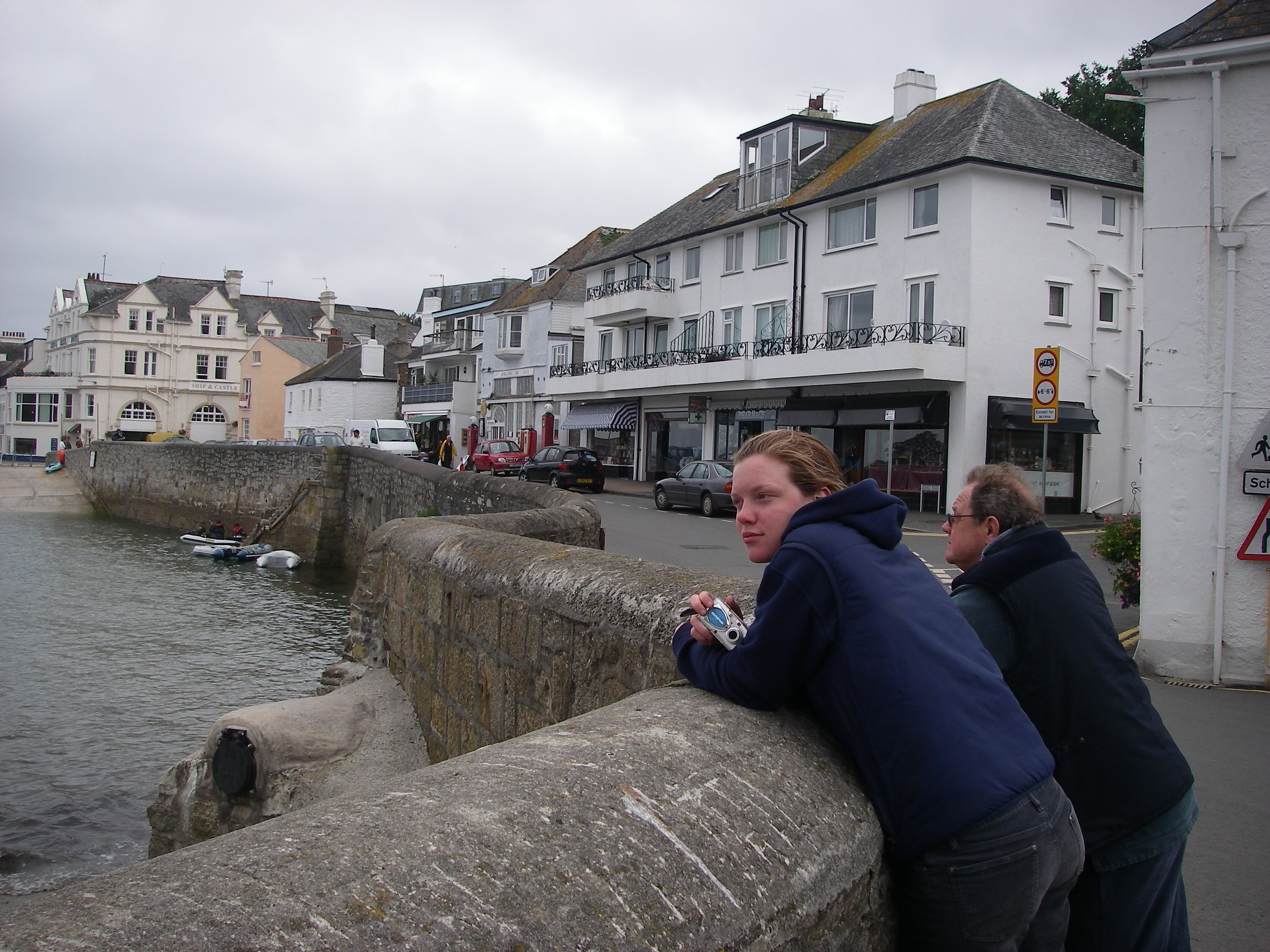
After cruises with perfect weather in September and May, we were bound to experience the other side of Scotland sooner or later. Rather too much of our 15 days in June was spent hiding from the weather instead of enjoying it.
The first plan was to head for Barra in the Outer Hebrides and work our way up some of the anchorages on the islands as far as Harris and Lewis.
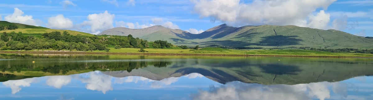
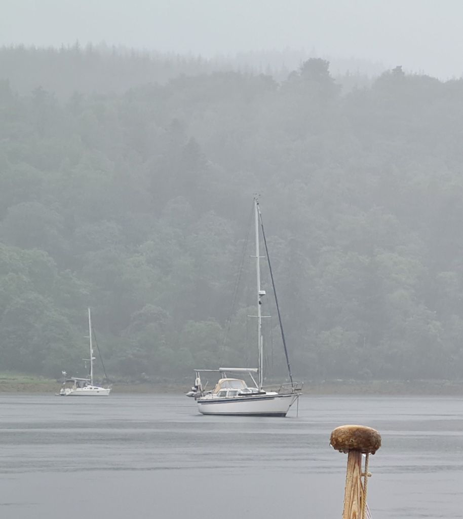
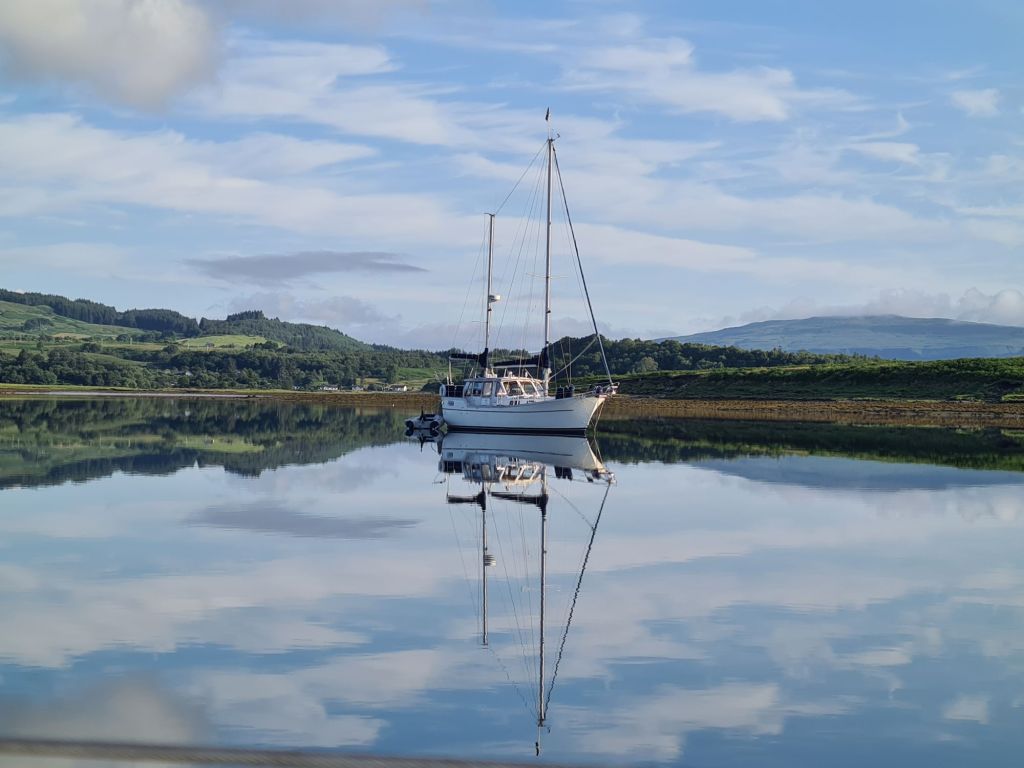
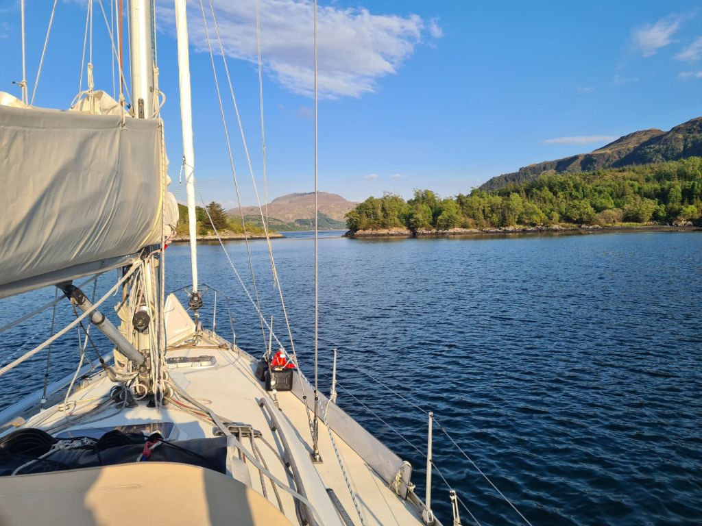
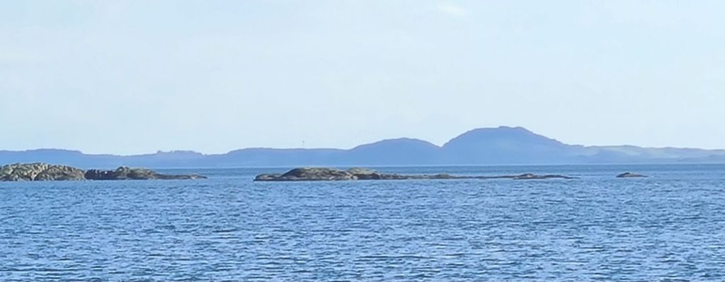
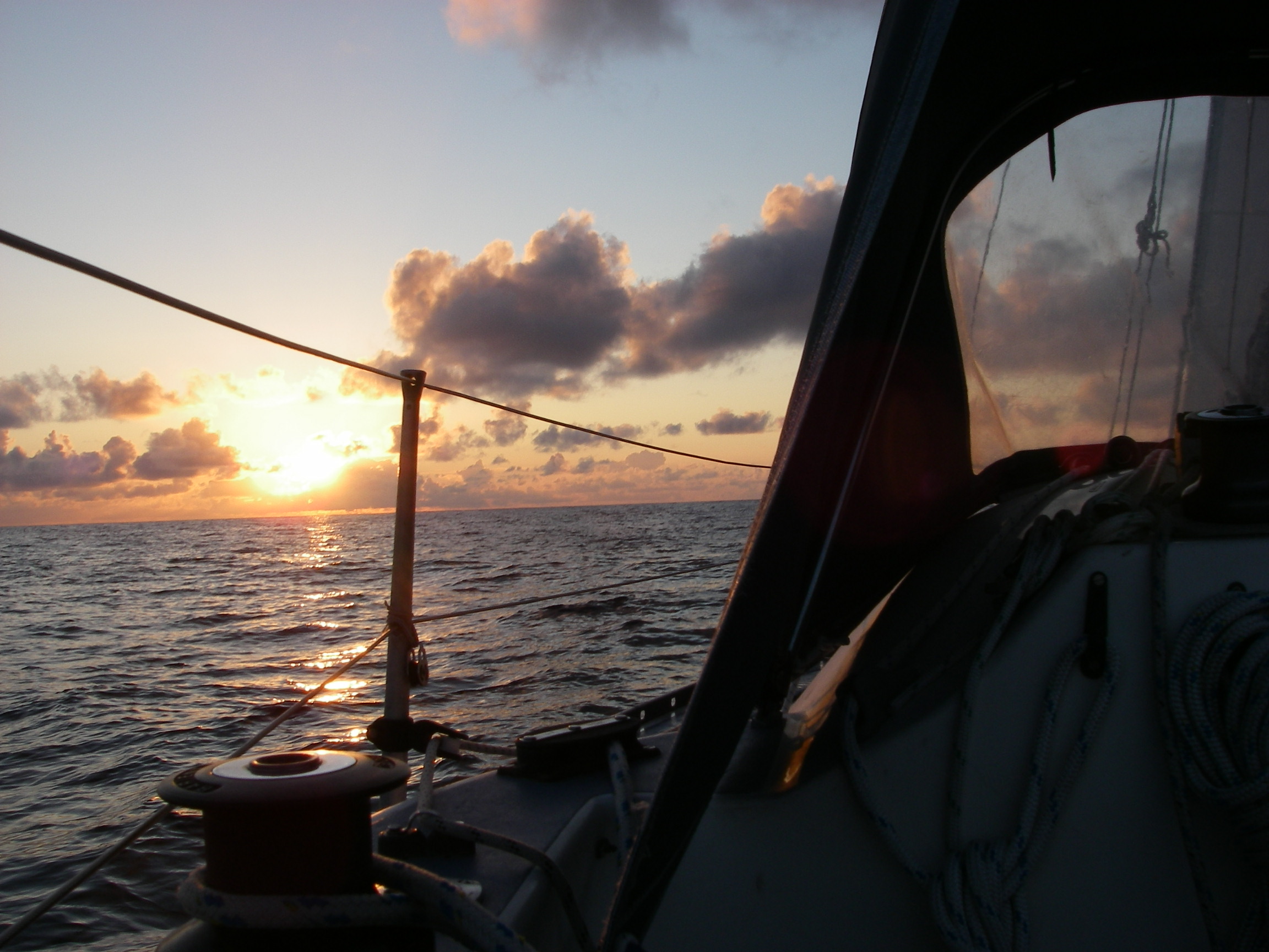
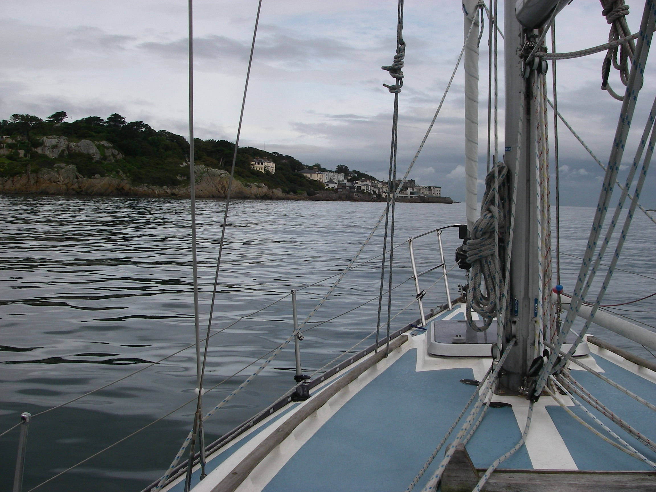
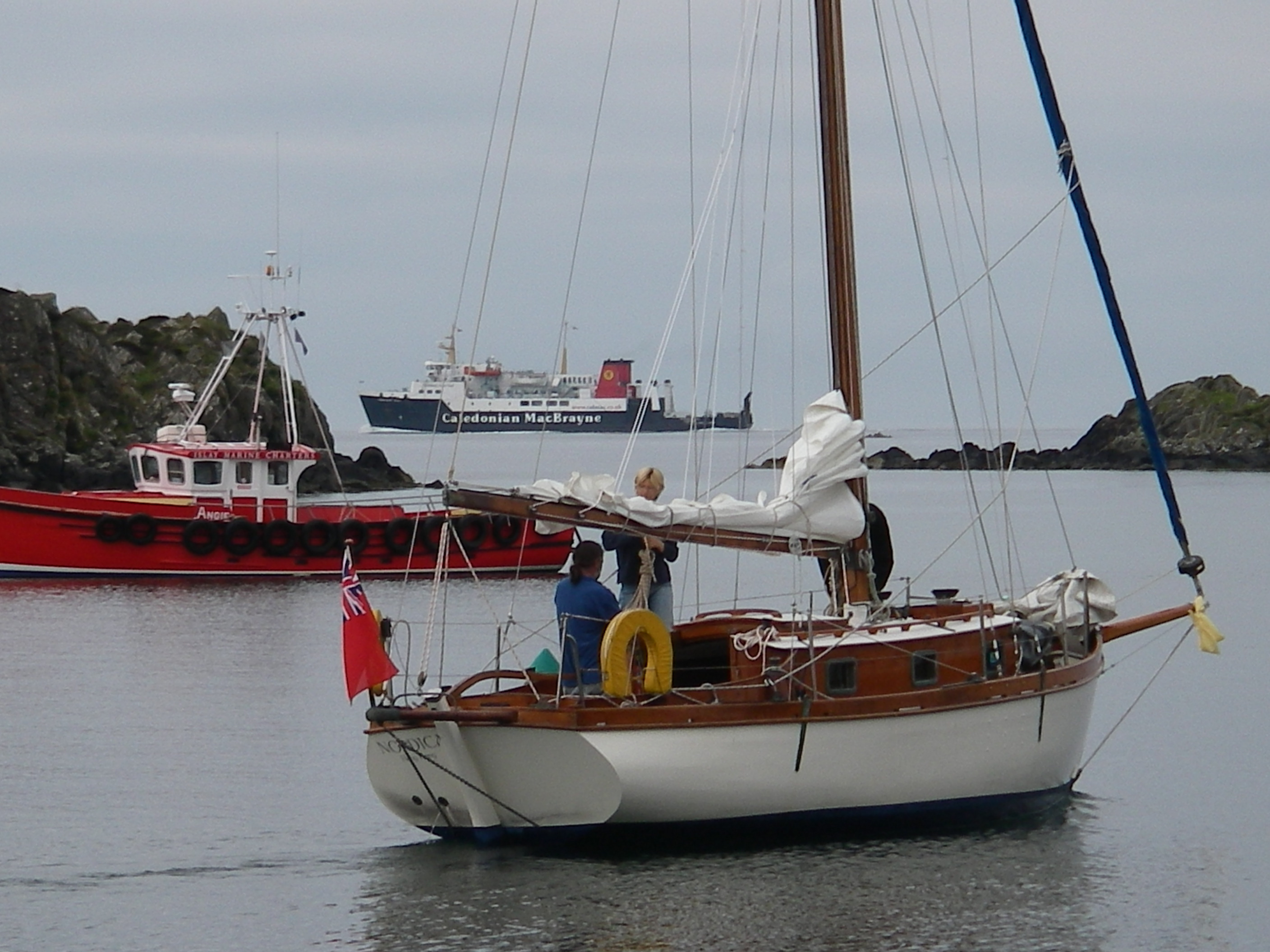
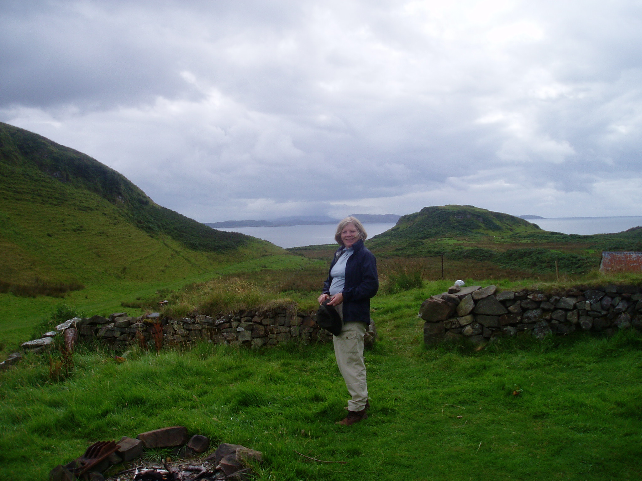
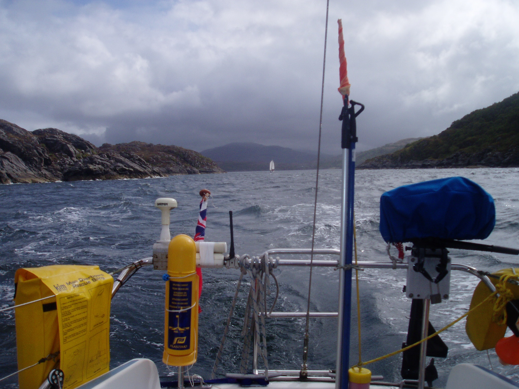
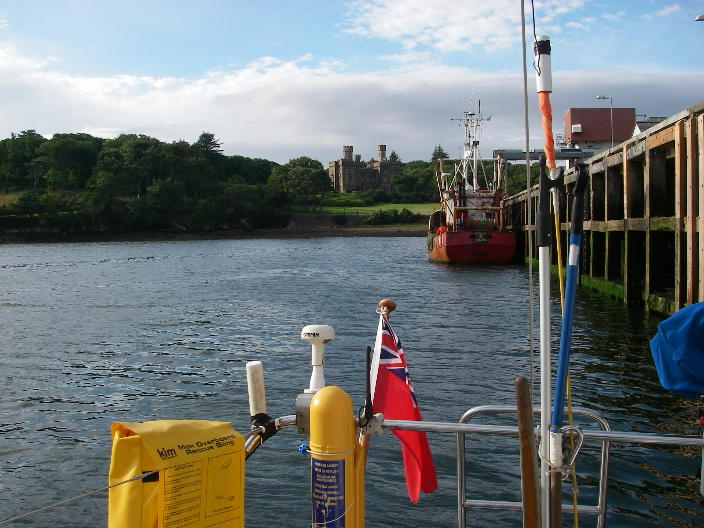
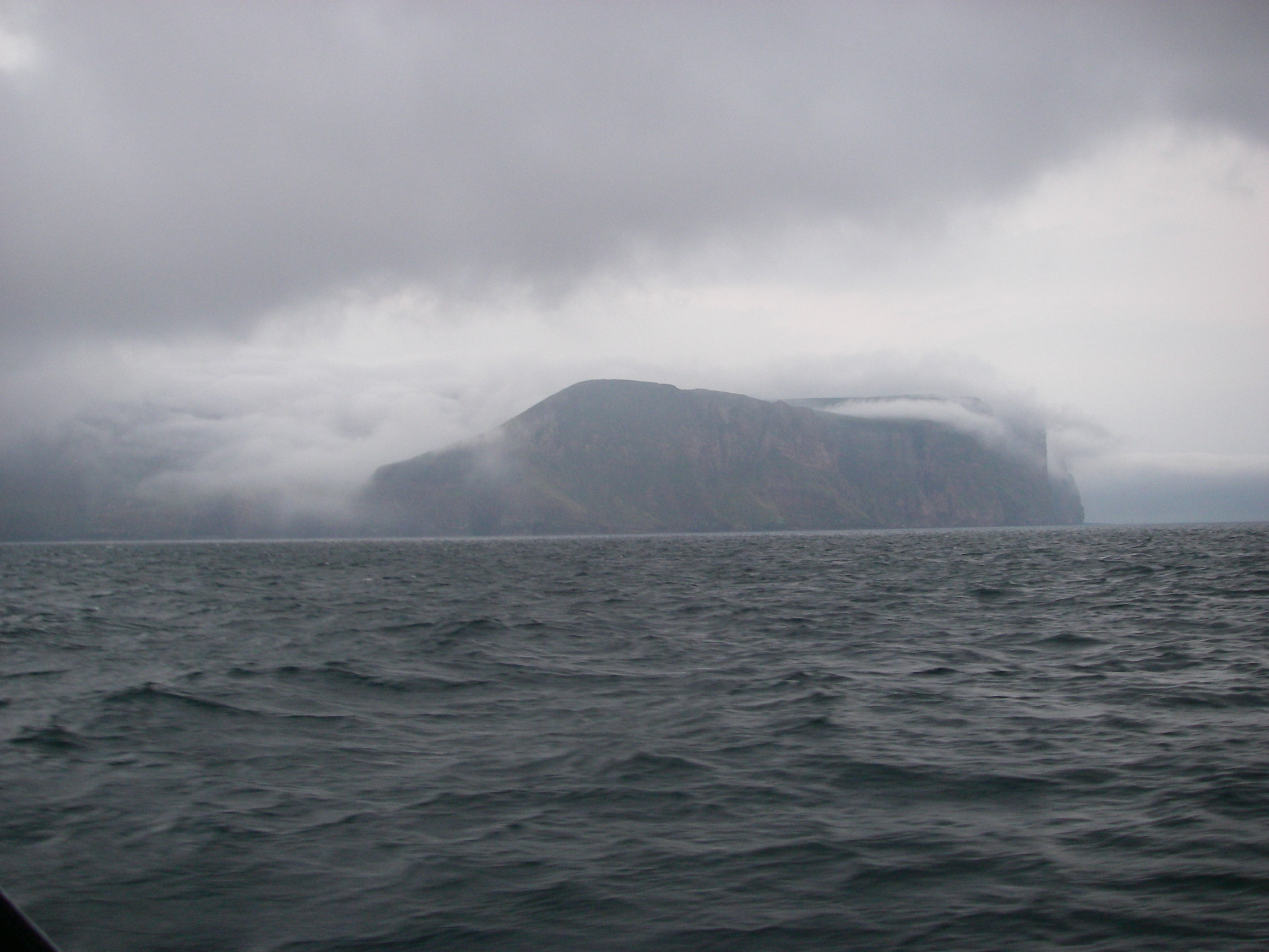
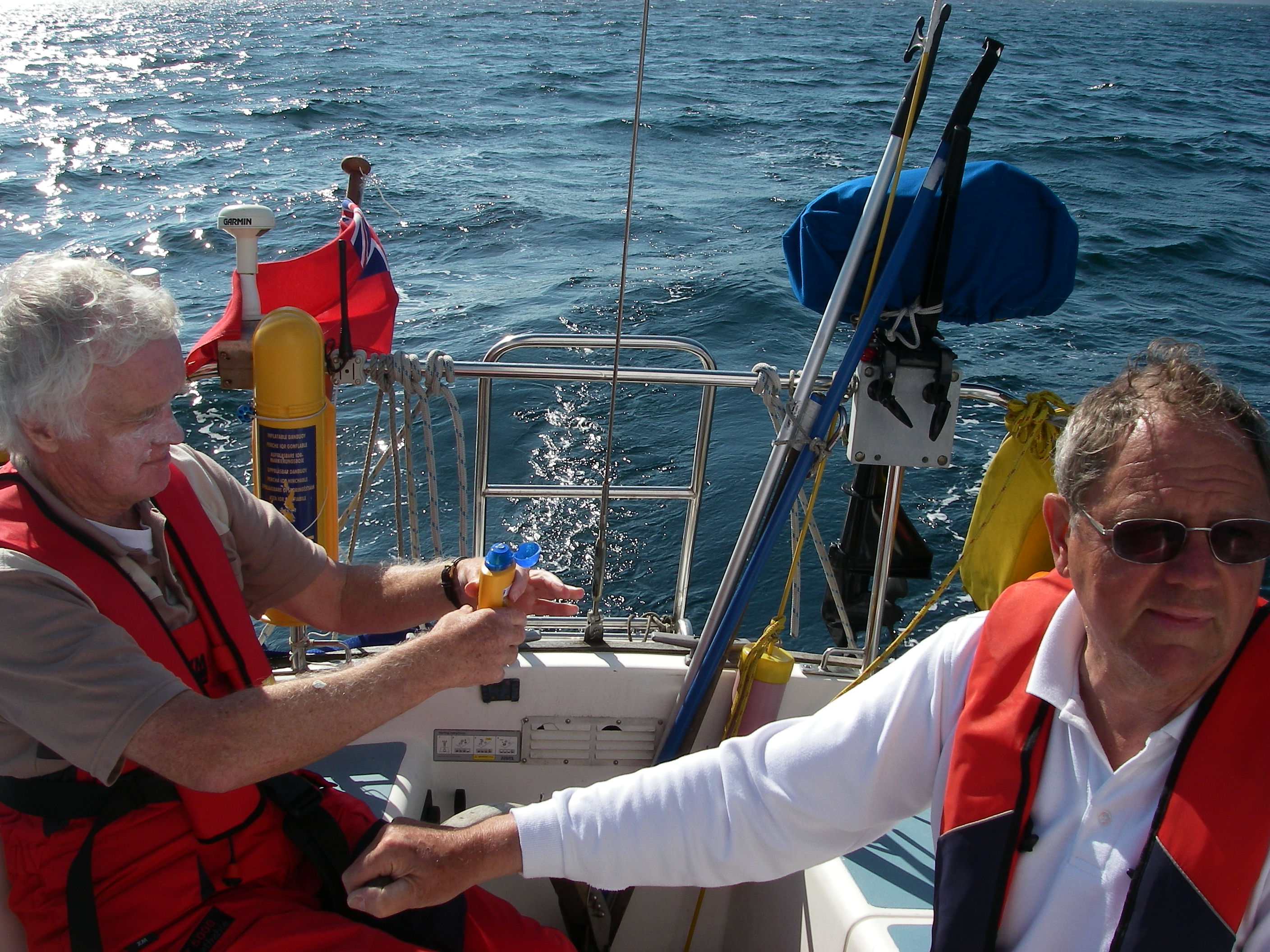
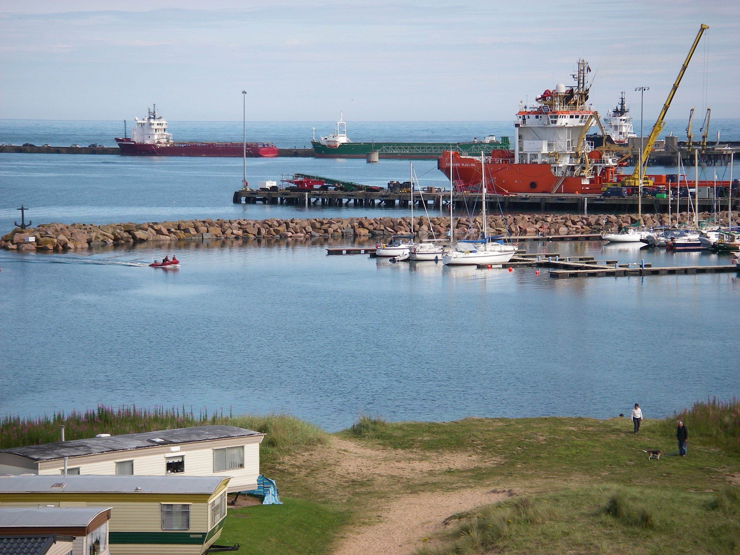
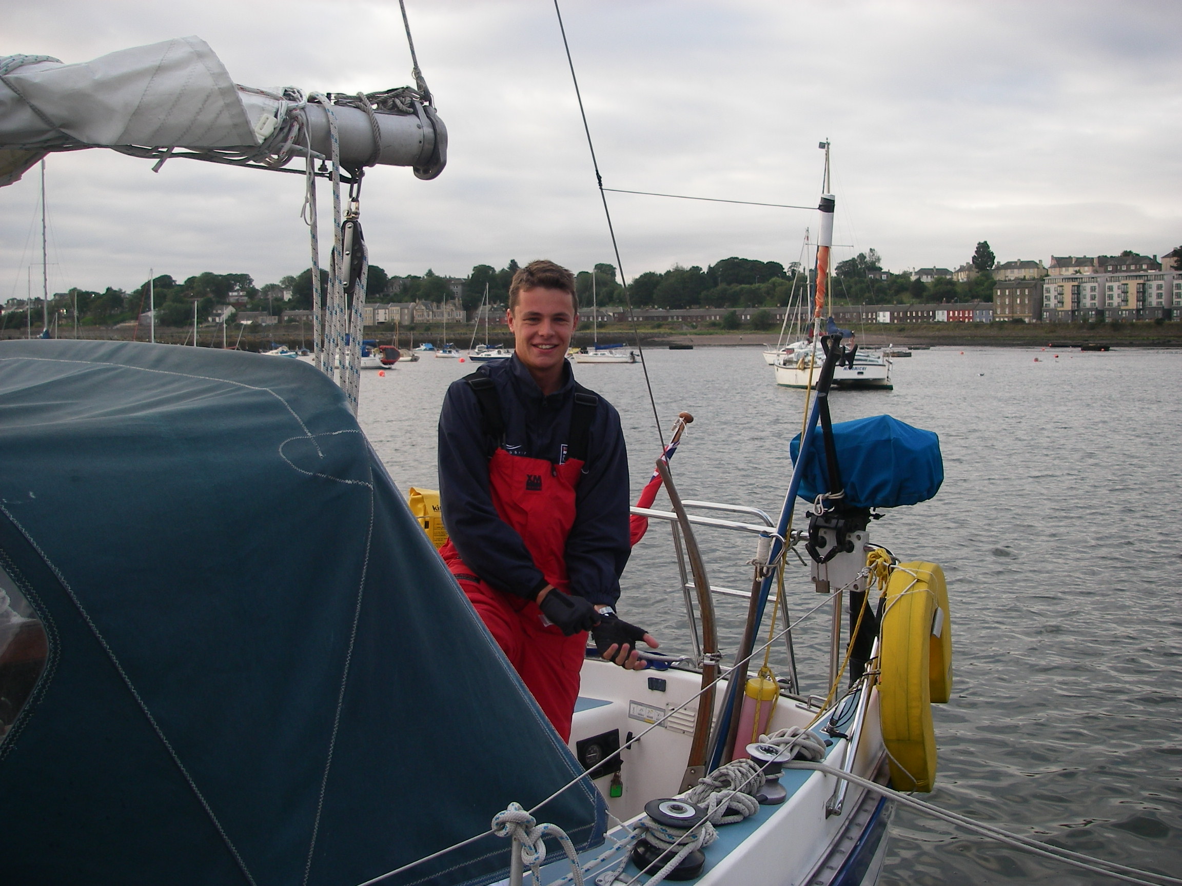
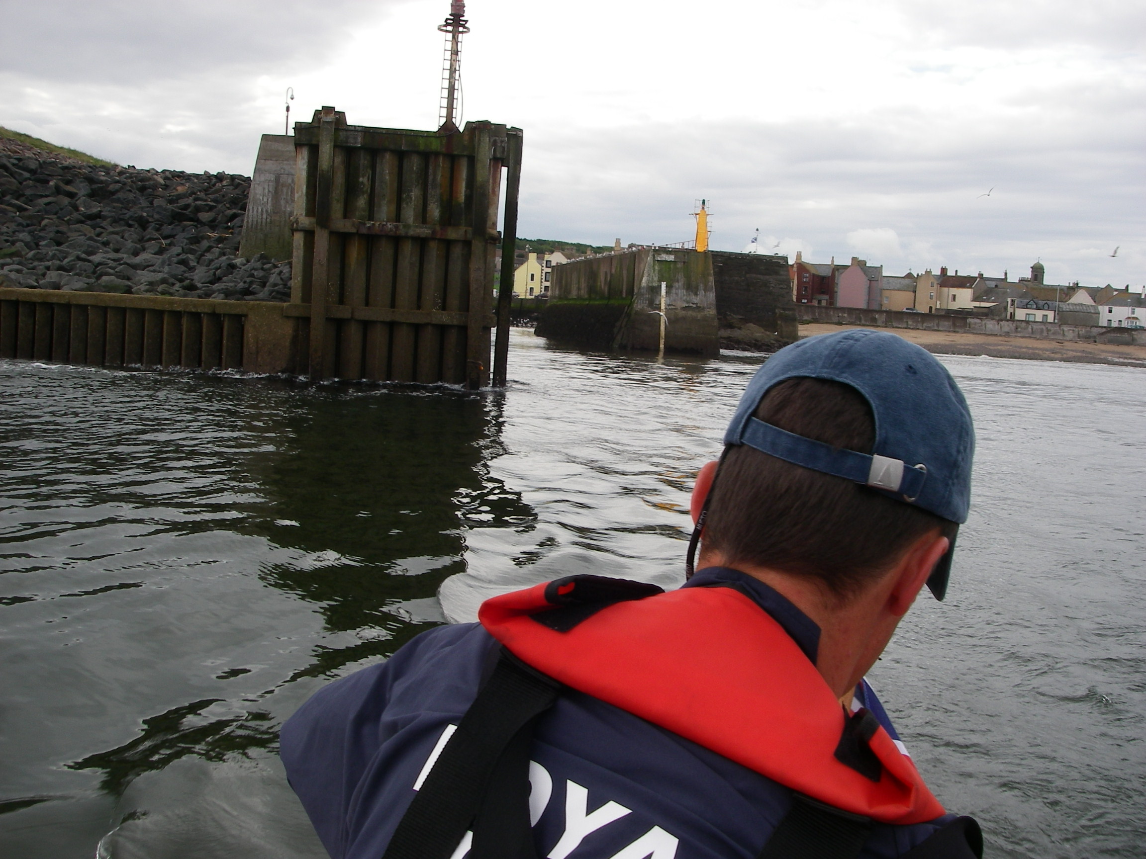
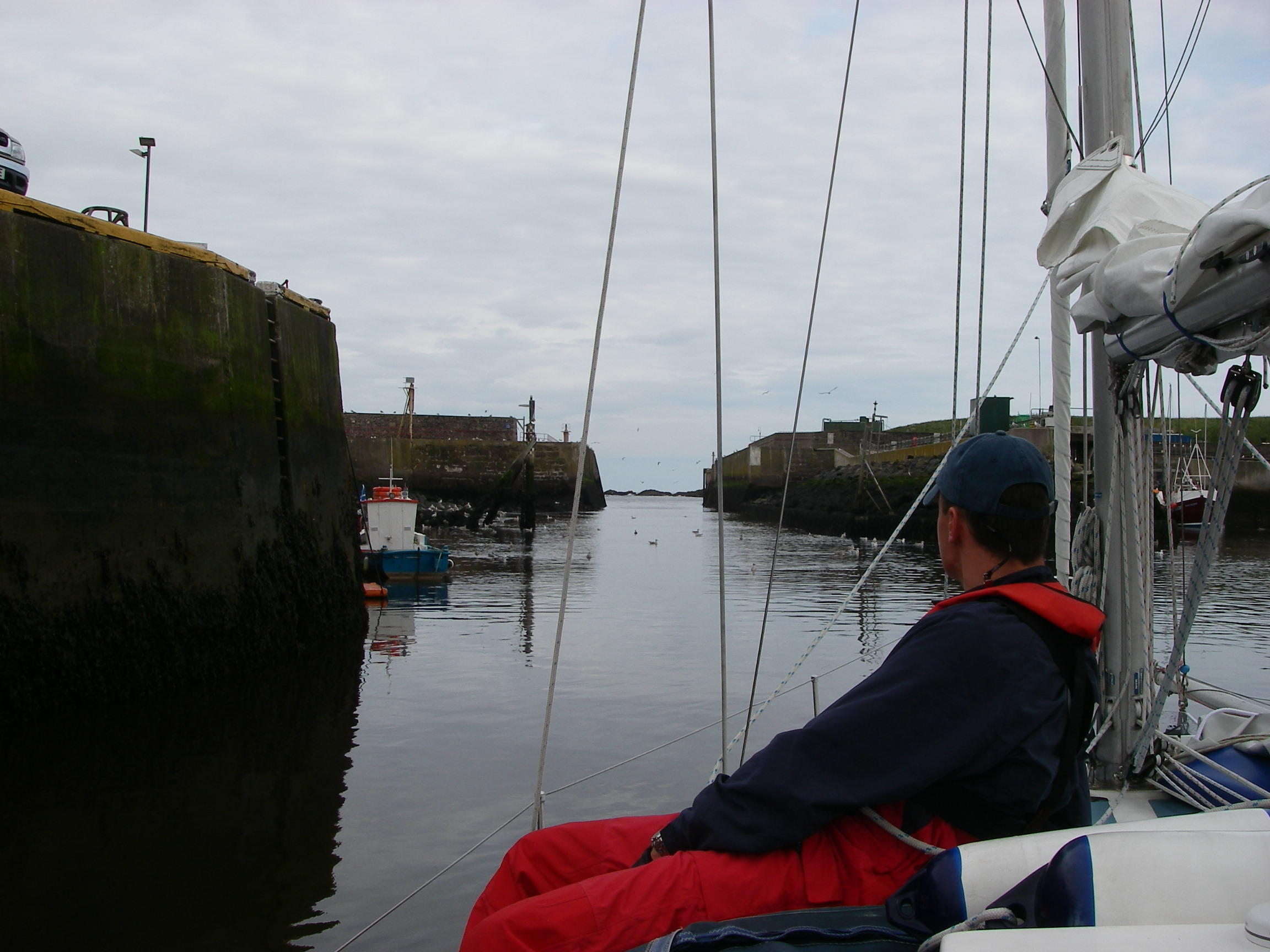
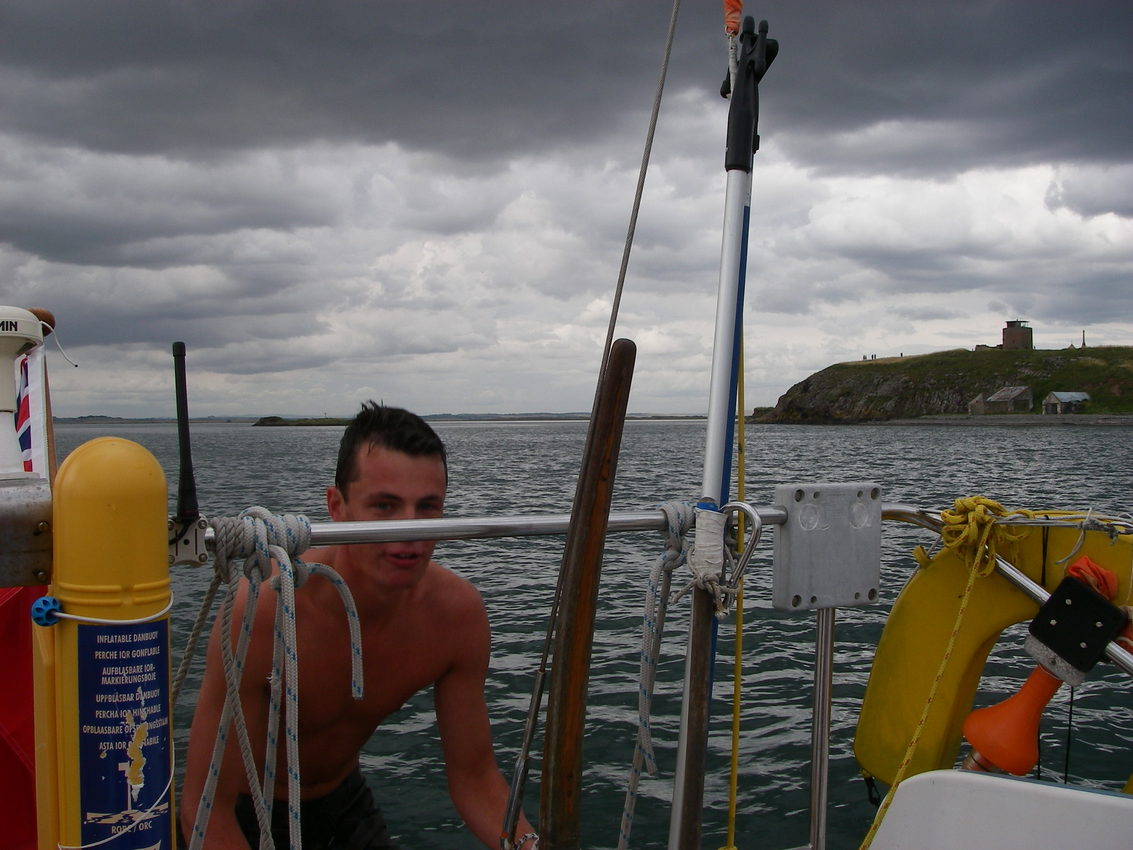
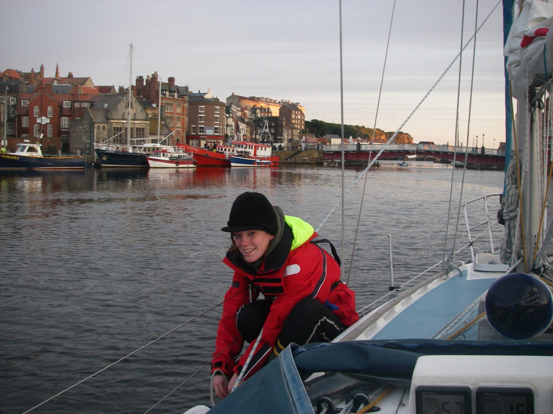
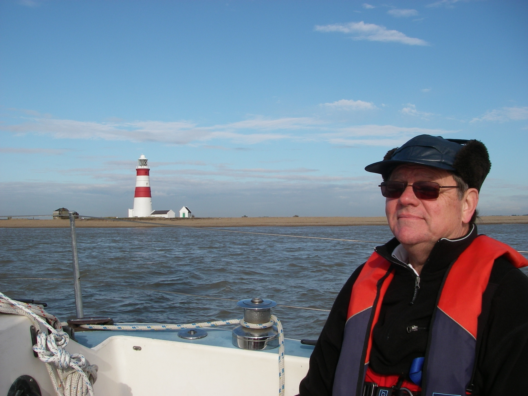
In the Sound of Mull, with the autopilot doing the work
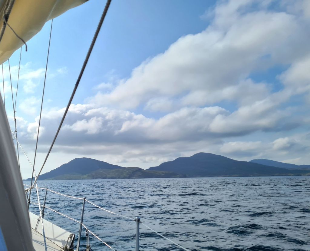
It started well, with two days of fine weather. We went from Kerrera to Tobermory, and left the next day in gentle winds for the 55 miles to Lochboisdale in South Uist, after deciding at the last minute against Barra. The pilot book says Barra’s Castle Bay is uncomfortable in strong southerlies and south-westerlies, and the (by then) forecast showed that was what we were about to get.
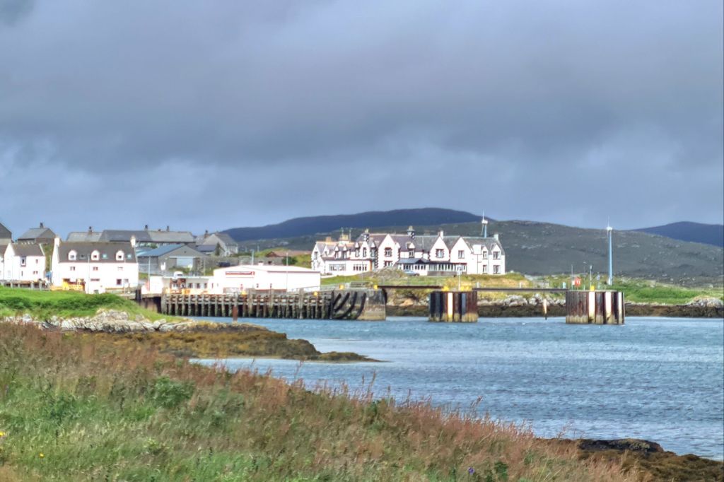
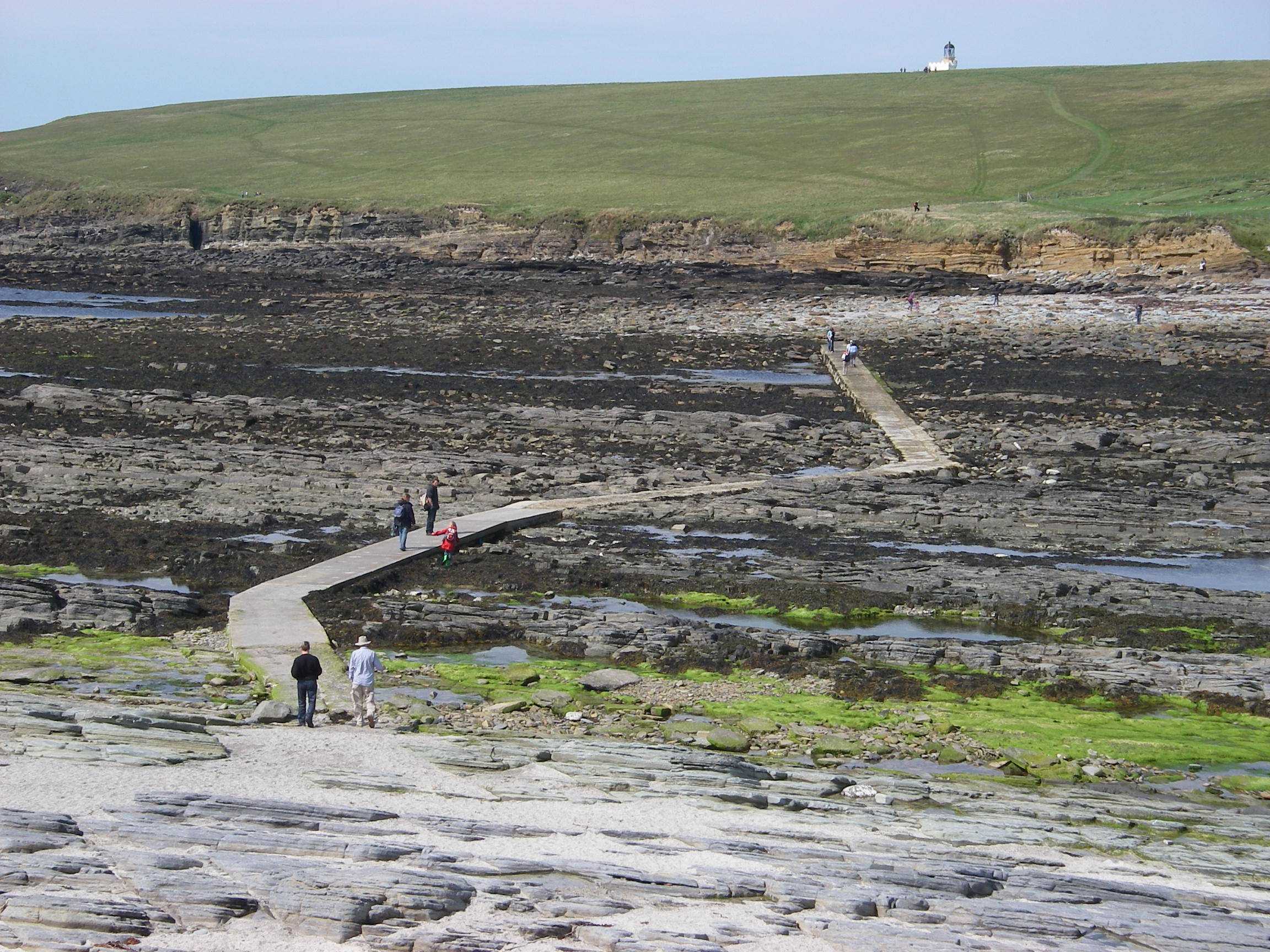
Approaching Lochboisdale
Lochboisdale Harbour is protected. The village has a bakery (fresh bread and cakes) and a hotel with a pleasant, old-fashioned bar and friendly landlord, but that’s about it. The tourist office that used to welcome ferry passengers from Mallaig has closed.
After sitting out a first day of heavy rain and strong winds on the boat and in the pub, the rain eased enough the next day to sightsee using a local bus across South Uist and Benbecula, the neighbouring island joined by a short causeway.
Lochboisdale …and Lochboisdale harbour
Benbecula has a fascinating landscape: it looks almost as much water as land, with small freshwater lochs dotted all over it, and sea lochs coming right inland.
On the way to the island, you can see the missile launching base and the big military radar and communications sites that are an important part of the South Uist economy.
A wet and windy day on Benbecula
After buying stores in the village of Benbecula we stopped off on the way back at the South Uist Museum, which is well worth a visit: it tells the story of the tough lives of the crofters, including the forced clearances in the 19th century that led many to emigrate. Now much of South Uist is owned communally by the islanders. As in Barra, Roman Catholicism survived the reformation and is still the main tradition on the island.
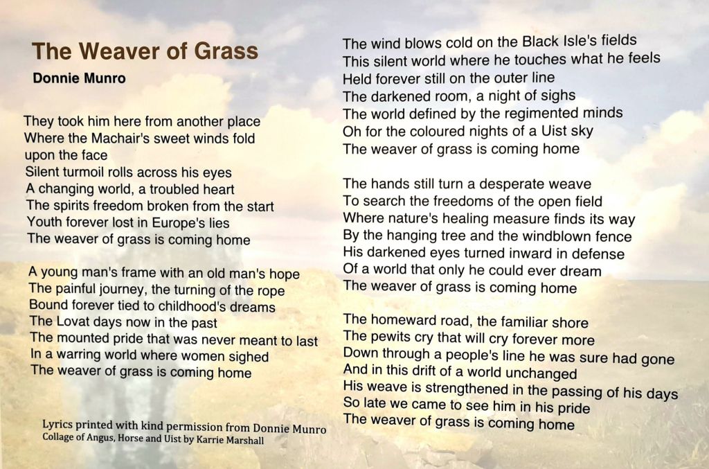
There’s a museum section about the island’s deep gaelic culture and the rich tradition of story telling and singing that persisted there long enough for it to be studied, collected and preserved.
It includes a touching connection with modern Scottish culture in the words of a song by Donnie Munro of the ’90s band Runrig. It’s called The Weaver of Straw, and is about Angus MacPhee, who came back to South Uist so traumatised after serving in the army in WWII that he never spoke a word for 50 years. His sole pursuit was weaving straw into familiar and fantastic shapes.
Donnie Munro’s song – see next page
After three nights sheltering in the very well protected Lochboisdale marina, we decided to go back to the mainland. It was clear that in two days time another series of depressions was going to pass close to the outer Hebrides so we’d just find ourselves stuck in the next anchorage north.
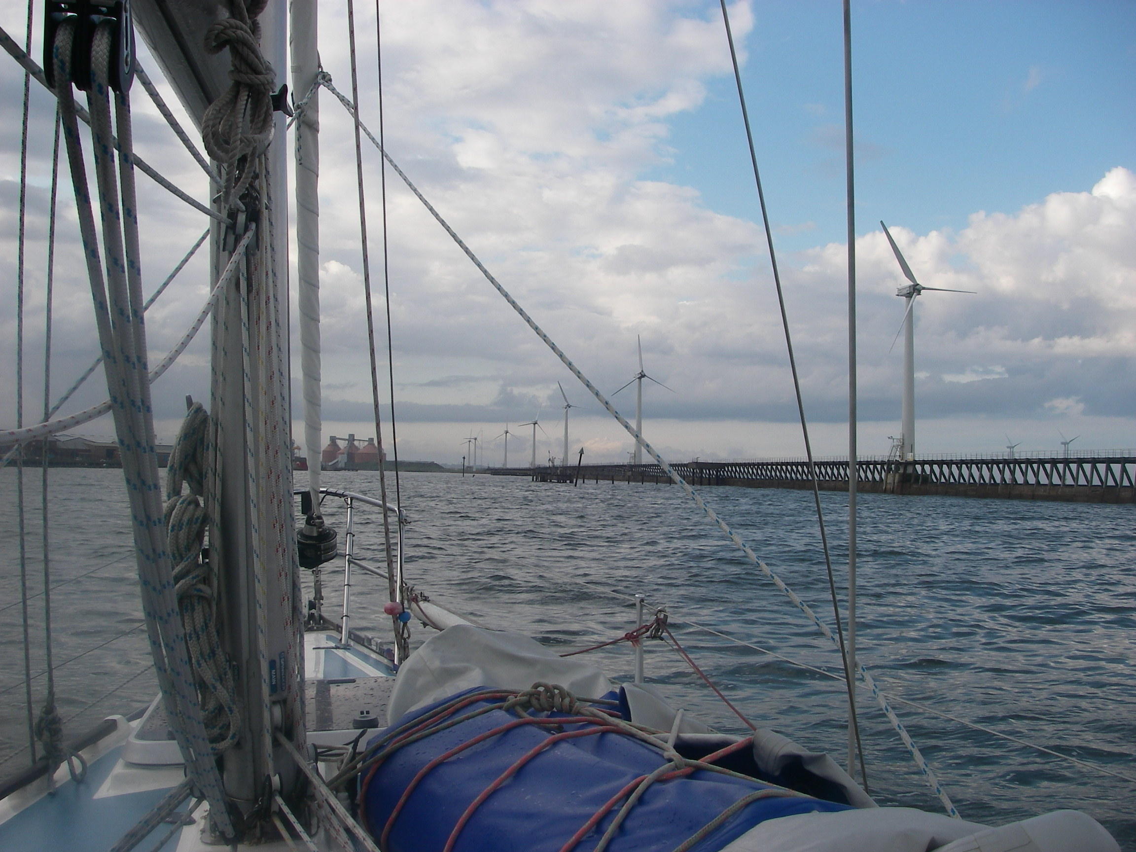
So we sailed back the 60 miles to Loch Droma na Buidhe (a.k.a. Drumbuie) on the mainland in 9 hours, averaging nearly 7 knots, with the wind on the beam, the fastest point of sailing, with intense small showers scurrying across our course and occasionally catching us. It was much the best sail we’d had all year.
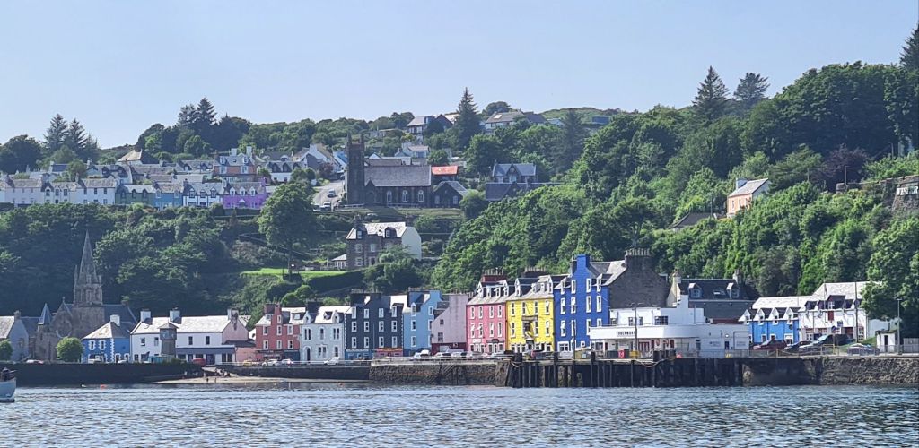
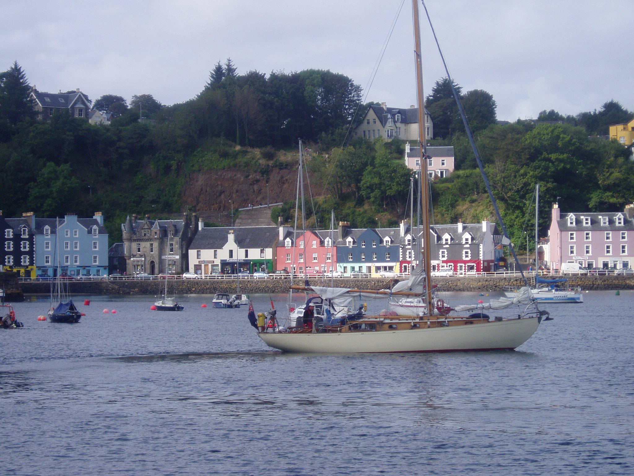
After anchoring for the night in peace and quiet we sailed 5 miles to Tobermory for a pontoon berth. There were strong winds forecast right through till Saturday night, so there we stayed, taking the opportunity to see some of the island and do outstanding repairs and maintenance on the boat.
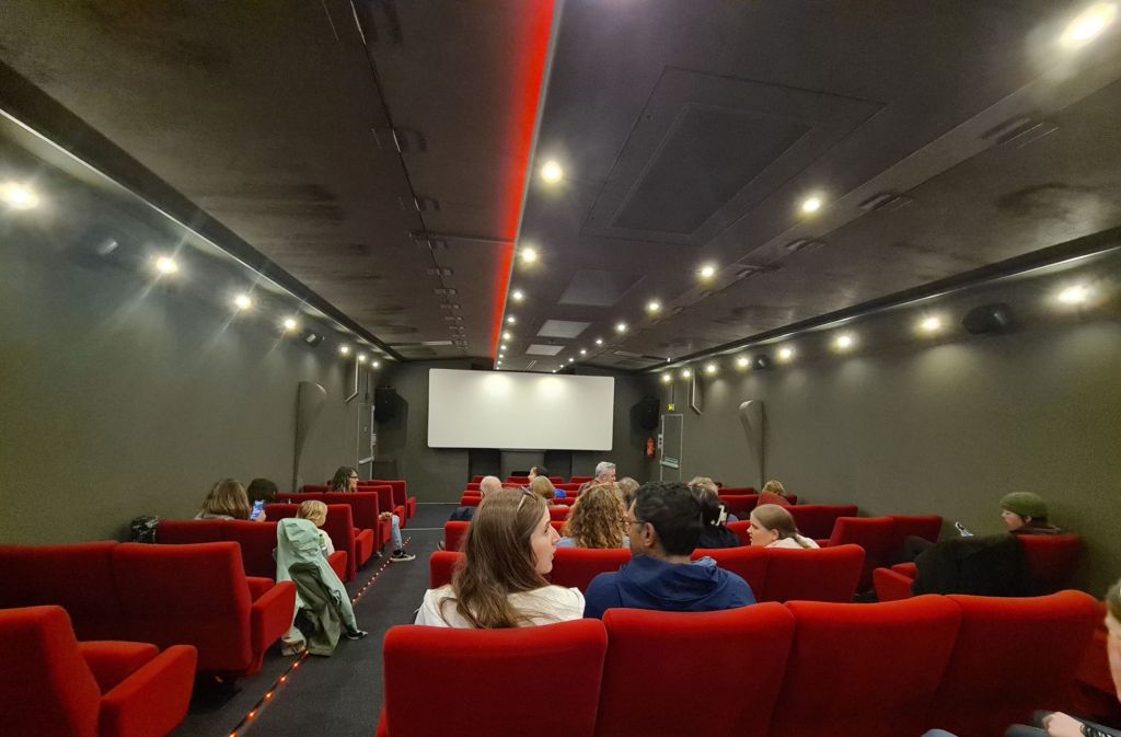
TobermoryTobermory Bay from the bus across the islandWe went by bus to Calgary Bayfor a walk. There is an excellent cafe tucked away, and an interesting arts centre with a sculpture trailSheep roamed round CalgarybayOn the sculpture trailWetwice went in the rain to an 80 seat mobile cinema which was in Tobermory for a week. It is in a truck that expands sideways like an accordion.
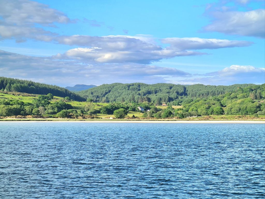
When the rain cleared and the wind eased for a few hours on Sunday we had a sunny morning sail 15 miles down the Sound of Mull to Loch Aline, which is pretty and sheltered.
The head ofLoch Aline before the rain and wind
Plans to go for a walk ashore were abandoned next day in heavy rain, because we’d be soaked in the dinghy. So we stayed at anchor a second day and night, read, played backgammon and watched old iPlayer and Netflix downloads.
Rainy Monday in Loch Aline.Sunny Tuesday, Loch Aline
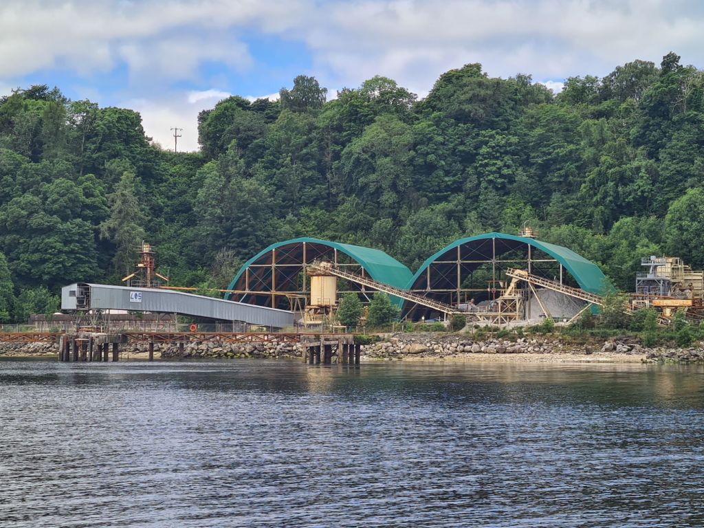
Loch Aline is pretty, sheltered and has a thriving village near a quartz sand mine, which is used for making high quality glass. It’s said to be the only sand from an underground mine in Europe. Quartz is a valuable material and the tonnages aren’t large, so the facilities aren’t intrusive.
Sand is loaded onto ships here in Loch AlineThe waterfall to the left of theruinedcastle in the Sound of Mull is one of the ‘Widows Tresses,’ which fly back up the cliff into the sky like fountains, in strong west winds – I’ve seen them do it.Nearing Loch Don: Duart Castle at the south end of the Sound of Mull
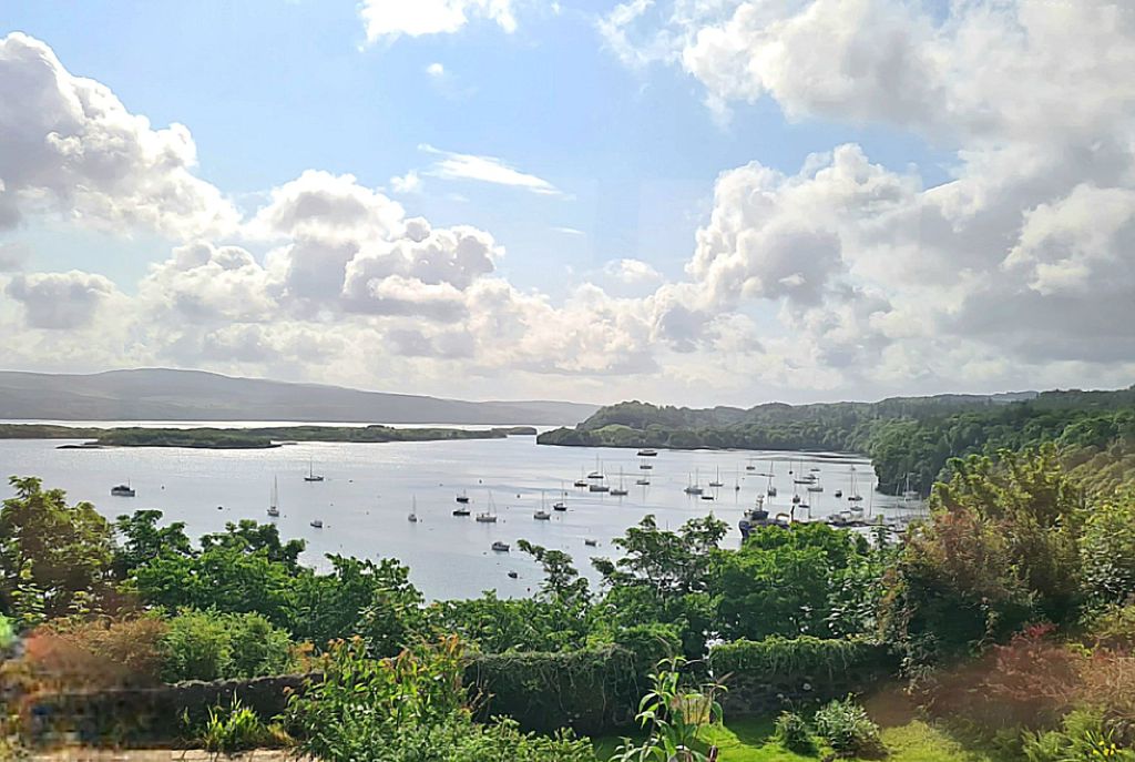
From Loch Aline, we sailed a gentle 12 miles to Loch Don on Mull, a good place for watching wildlife. The channel into the loch is narrow, muddy and winding, almost like a Suffolk river. Once in, it is well sheltered. We anchored overnight in the deepest pool in the loch, all of 6 metres, which makes it unusually shallow for Scotland.
Catching the last of the sun in Loch DonEarly morning neighbour, Loch DonThe hills of Ross of Mull from Loch Don
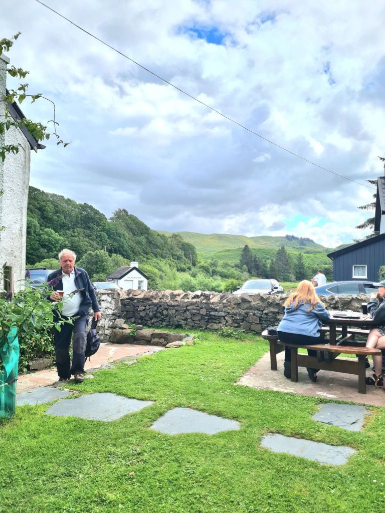
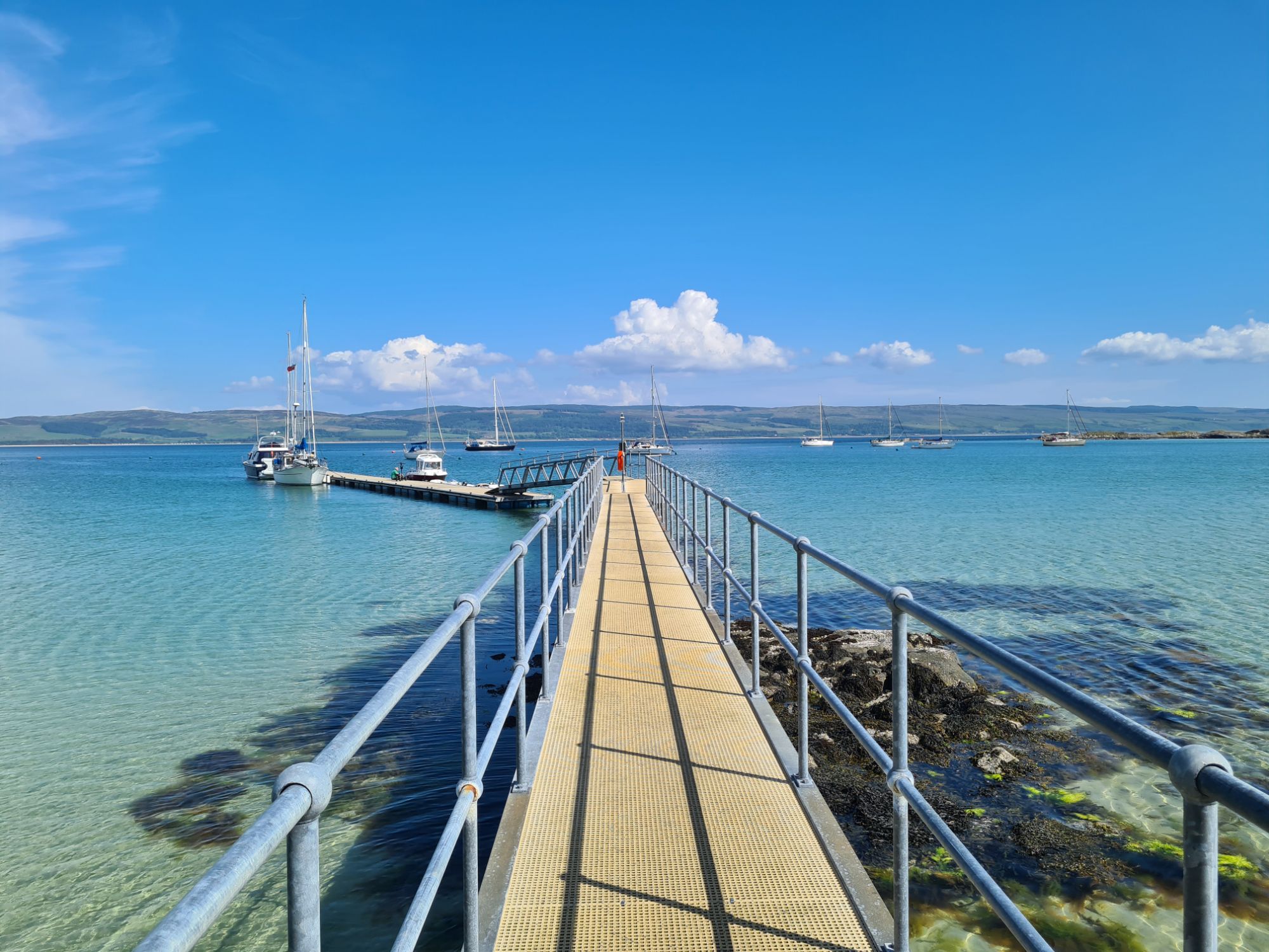
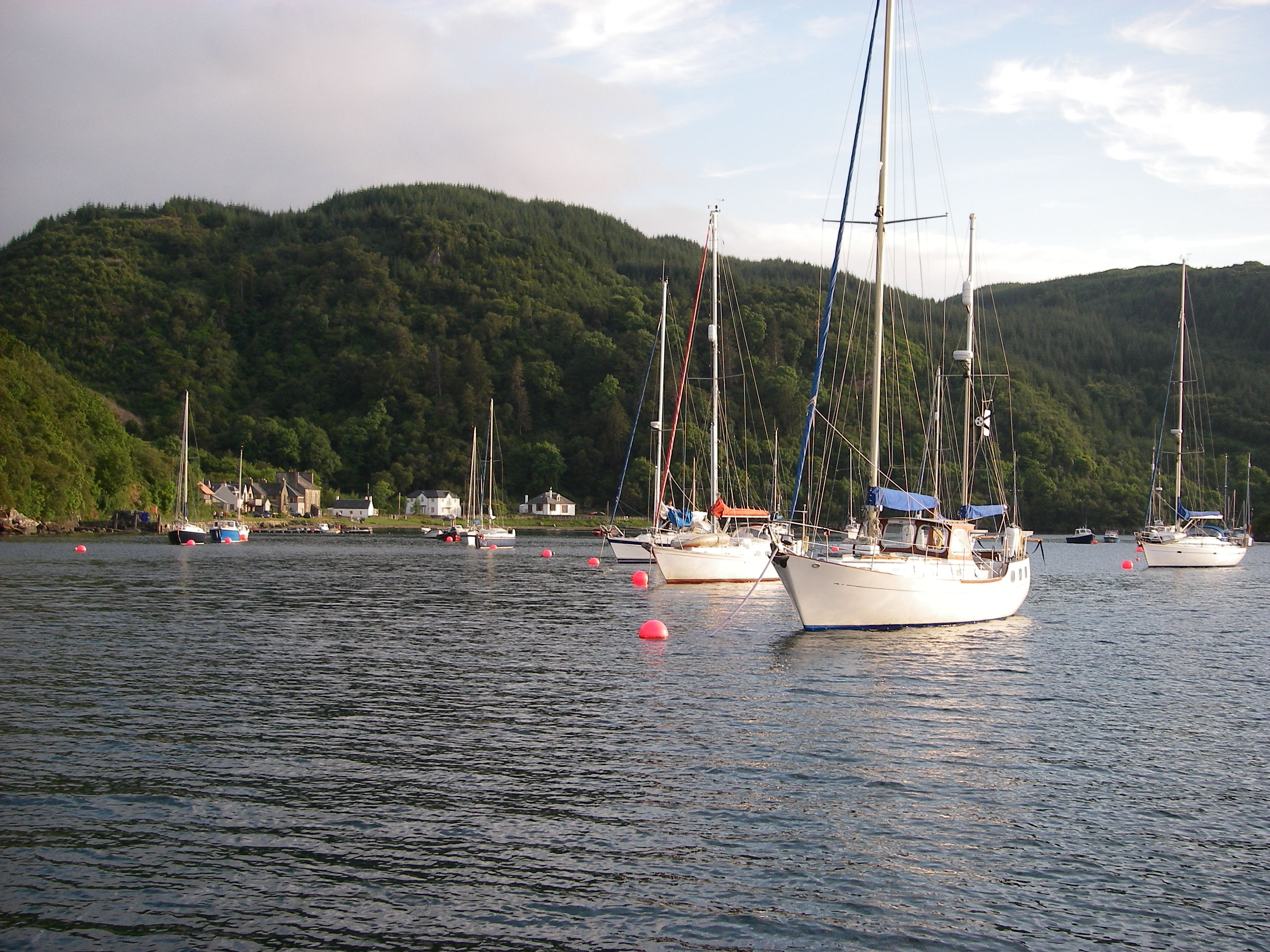
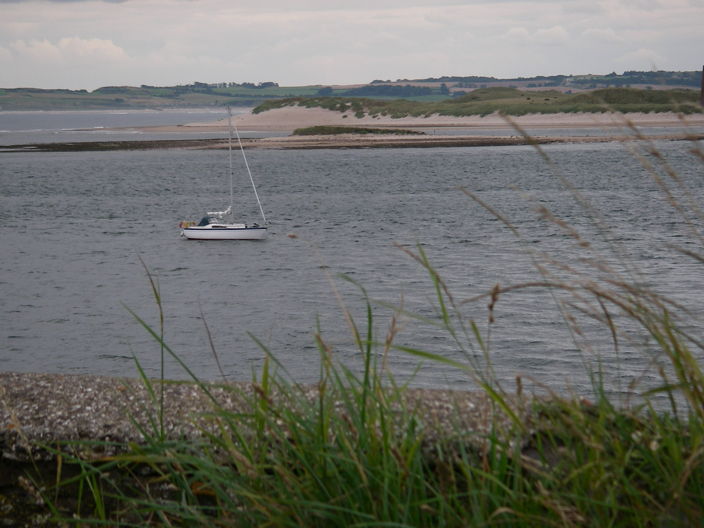
Our last anchorage of the cruise was Puilladobhrain (Pool of the Otter), a delightful, small stretch of shallow water sheltered by reefs and islets.
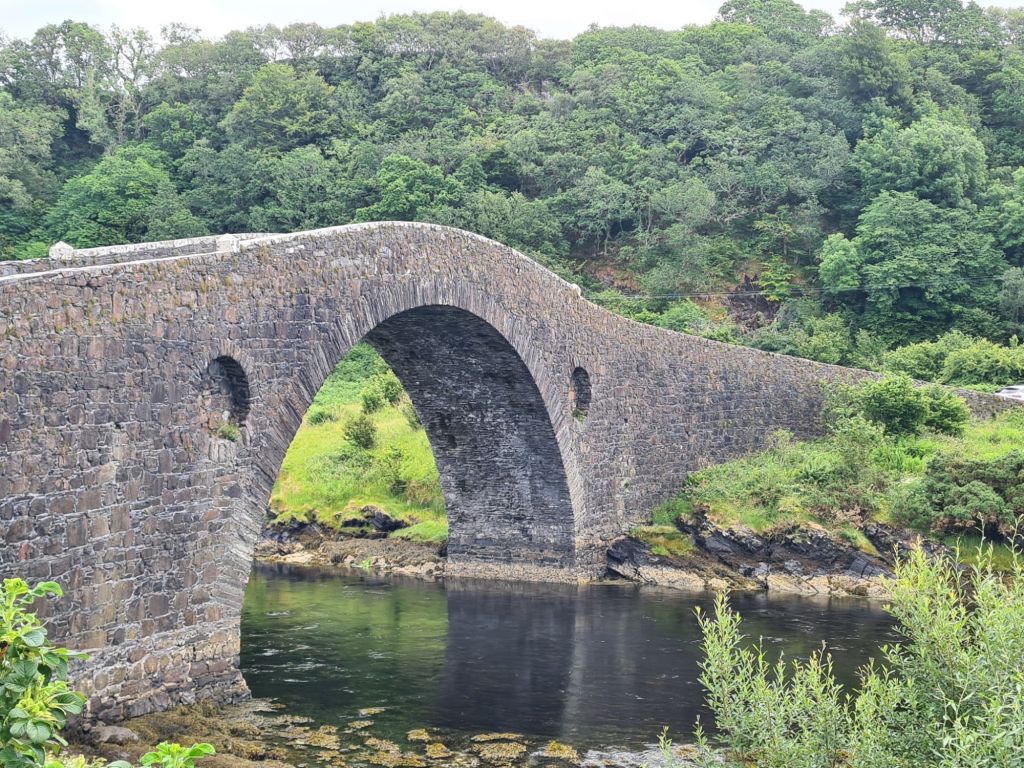
It is also one of the most popular anchorages, not least because of the lovely half mile walk over a low hill to Tigh an Truish, a pub and restaurant next to the Bridge Over the Atlantic, the old stone bridge connecting the island of Seil with the mainland. We found what we thought was the last space to anchor, until 4 more boats brought the total to a dozen.
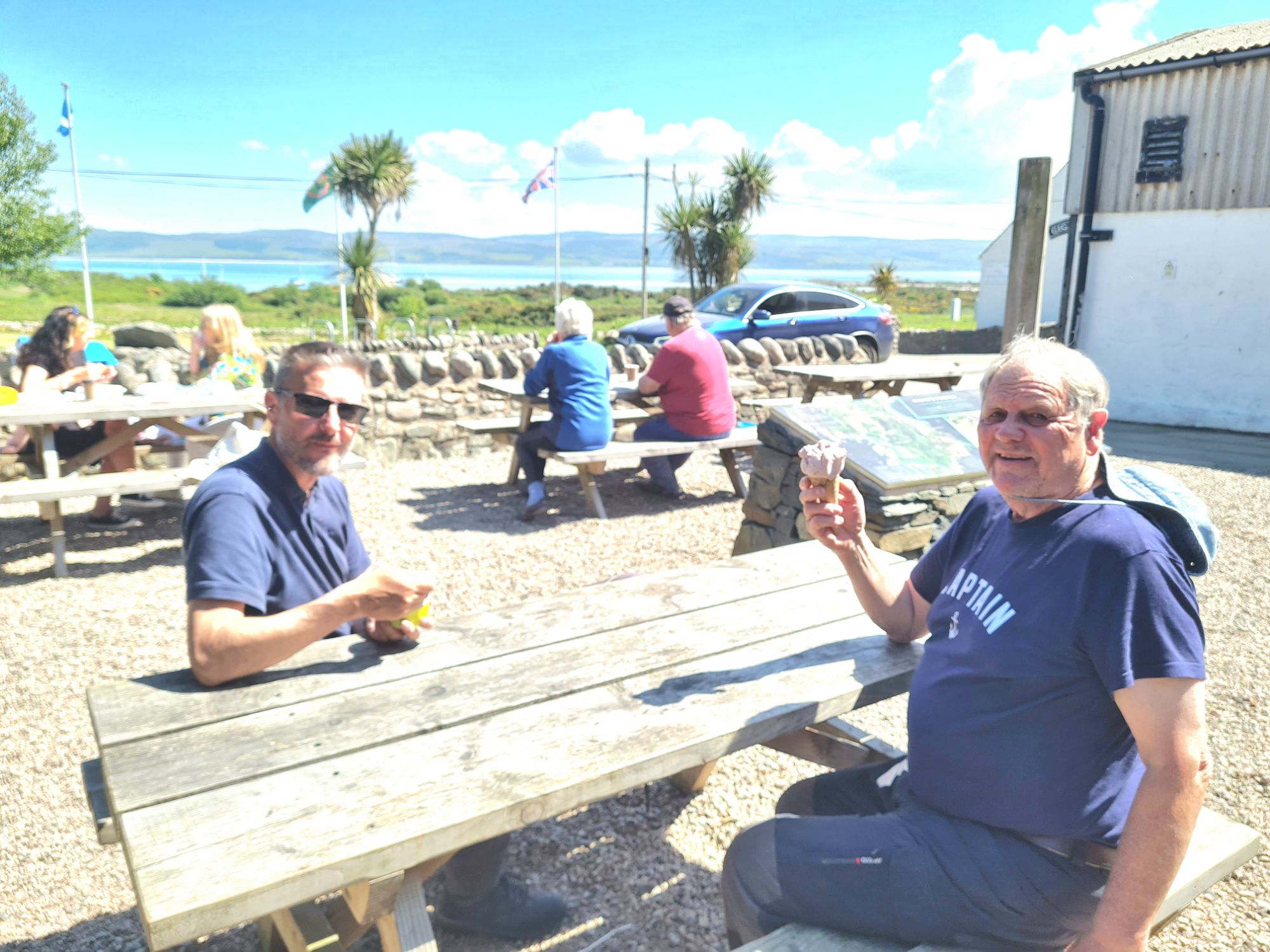
Spring Fever anchored in PuilladobhrainThe Bridge over the Atlantic,whose slim arch can take the weight ofheavytrucks.Looking north from the bridge…and looking south.Lunch was in the pub garden
The forecast for the following day and the rest of the week was bad, with Force 6 and 7 mentioned, and gale Force 8 expected for a while. It was also forecast to be very wet.
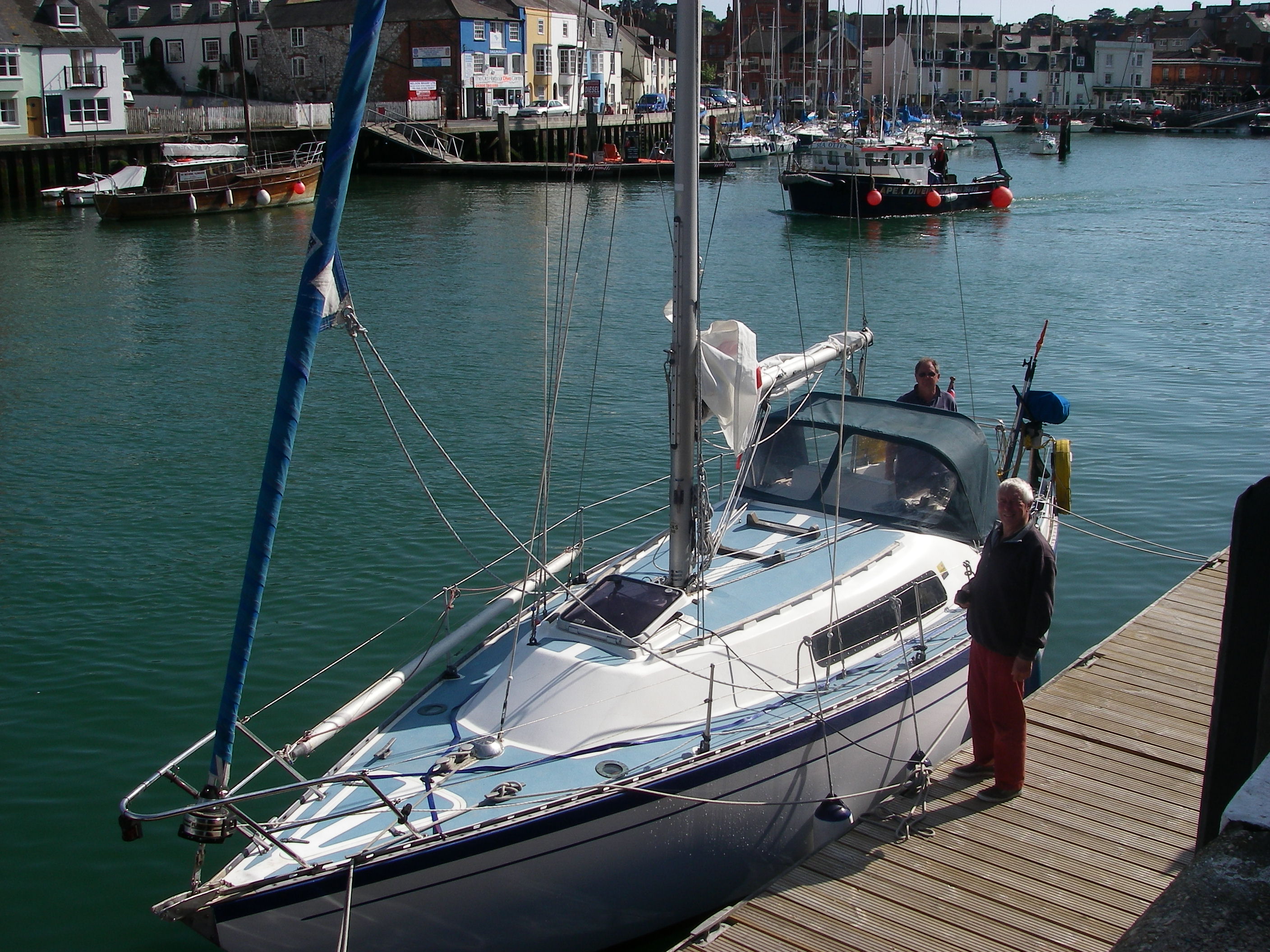
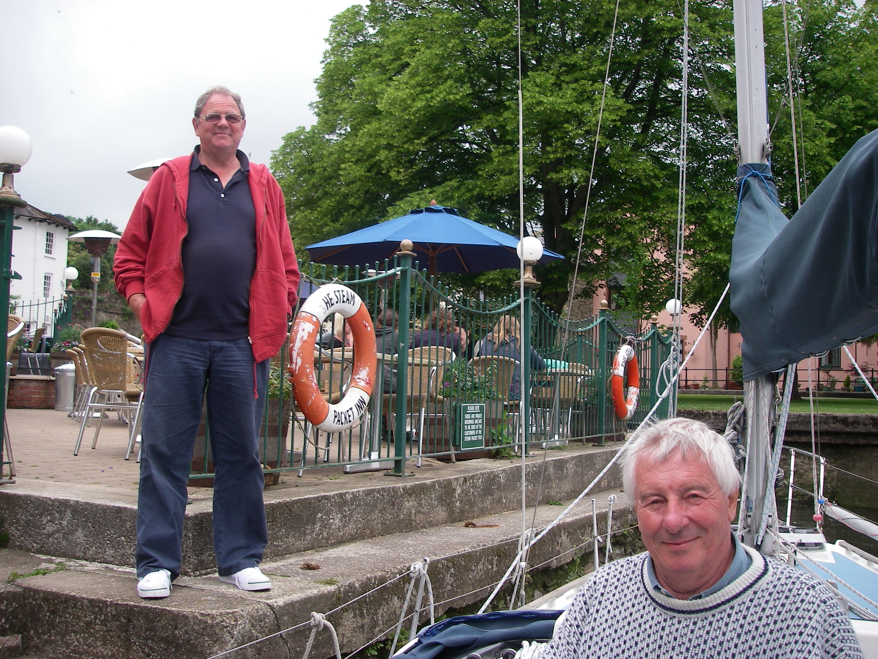
So after lunch in the pub, we sailed back to our base in Kerrera to pack up ready to go home a couple of days later.
Actually, we haven’t done badly at all in our time here if we look at the bigger picture. Since September, we’ve been on board nearly 40 days, and there have only been about 8 or 9 with bad weather. They have all been in the last fortnight, but that still makes a pretty good overall score for holidaying in Scotland.
The West of Scotland had the best weather in the UK in May, for the whole 18 days we were there. Bright sunshine, blue sea and mainly light north and east winds were ideal for checking out new anchorages and visiting old favourites, several of which we’d have avoided in any other kind of weather.
Not the deep south but Loch Moidart – another sunny meal in the cockpit.
After fitting out for three days in Kerrera Marina, we spent the first night in Loch Droma Buidhe, near the entrance to Loch Sunart.
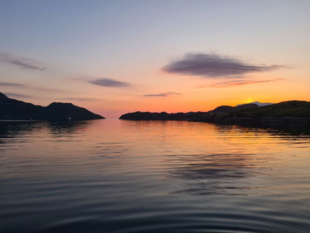
Sunset in Loch Droma Buidhe, protected by the narrow entrance in the distance.
The next day we explored Loch Sunart, picking up a buoy at Salen for a lunch stop, and then to Loch Teacuis for the night, which branches off Sunart. Teacuis has a difficult, rocky entrance but opens up into a beautiful sheltered space, surrounded by woods and hills. It is close to Droma Buidhe
Anchored in Loch Teacuisfor the night
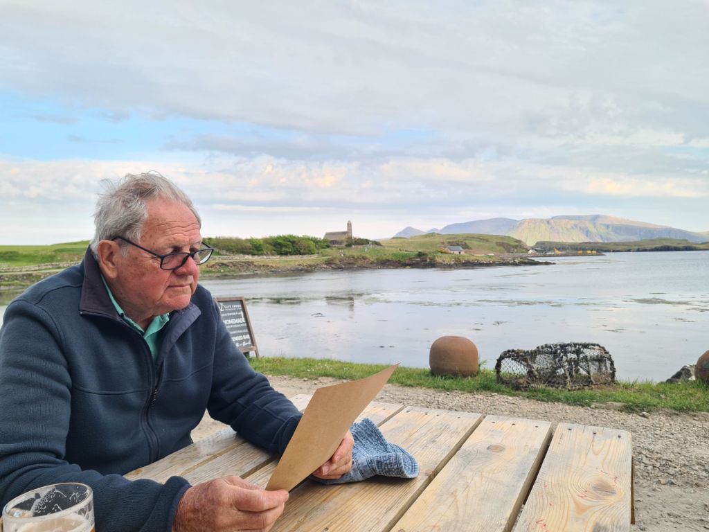
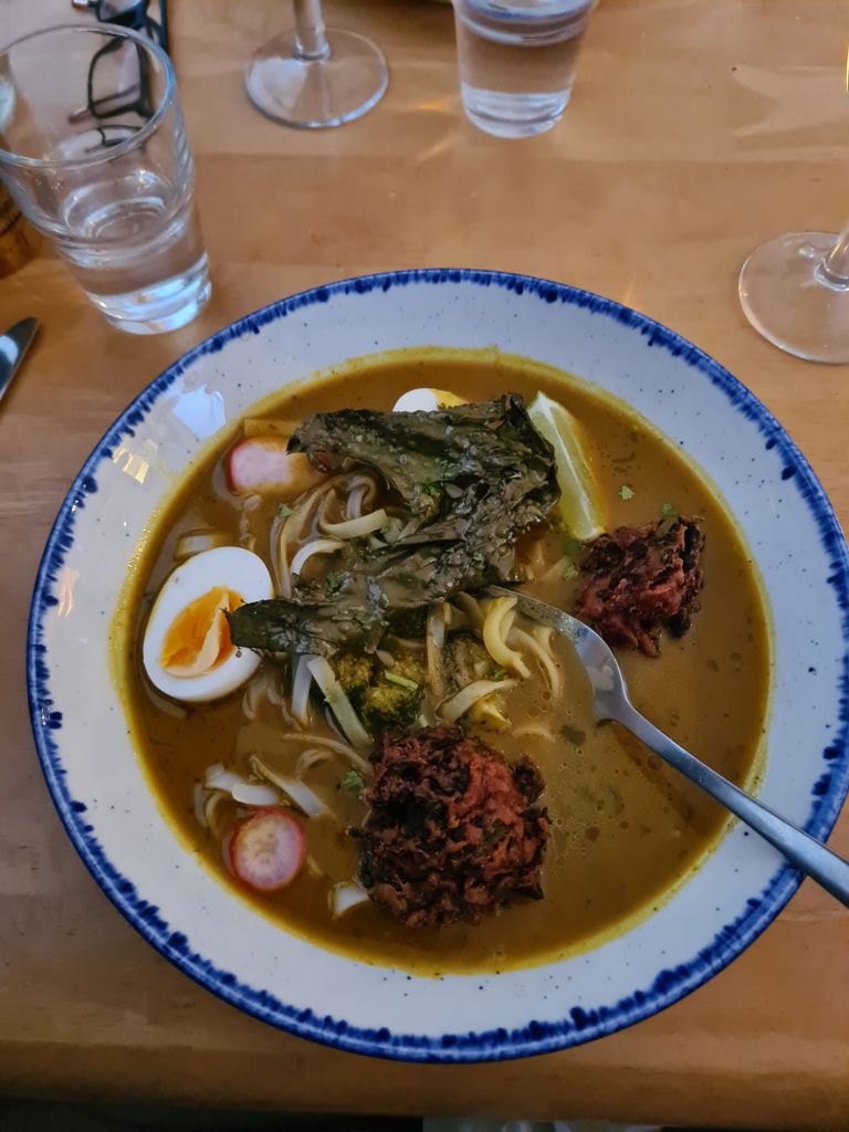
Next stop was the lovely little island of Canna in the Sea of the Hebrides, timed for the Canna Cafe. Last year we arrived on a Tuesday and found that was closing day. (This year, Tuesday’s a pizza night). There’s a delicious and inventive menu, featuring seaweeds in all sorts of combinations with fish, vegetables and meat. The chef’s Canna Cookbook is a big seller which recently we saw displayed prominently in Waterstones, but we took home a copy from the café and plan to try out its advice on cooking seaweeds.
Tony studiesthe Canna menuMy spicey egg laksa with dulse (a seaweed) croquettes and kelp. The starter was fritters of kelp with another plant called sea spaghetti (because that’s what it looks like). Canna Cafe
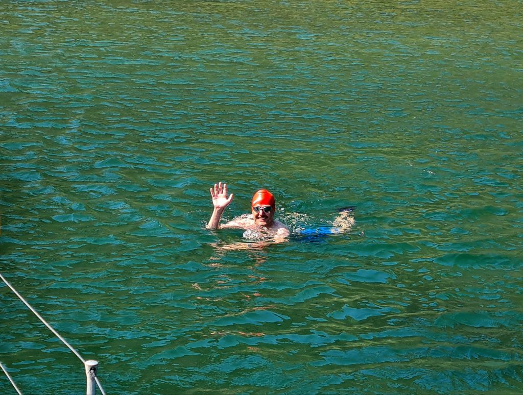
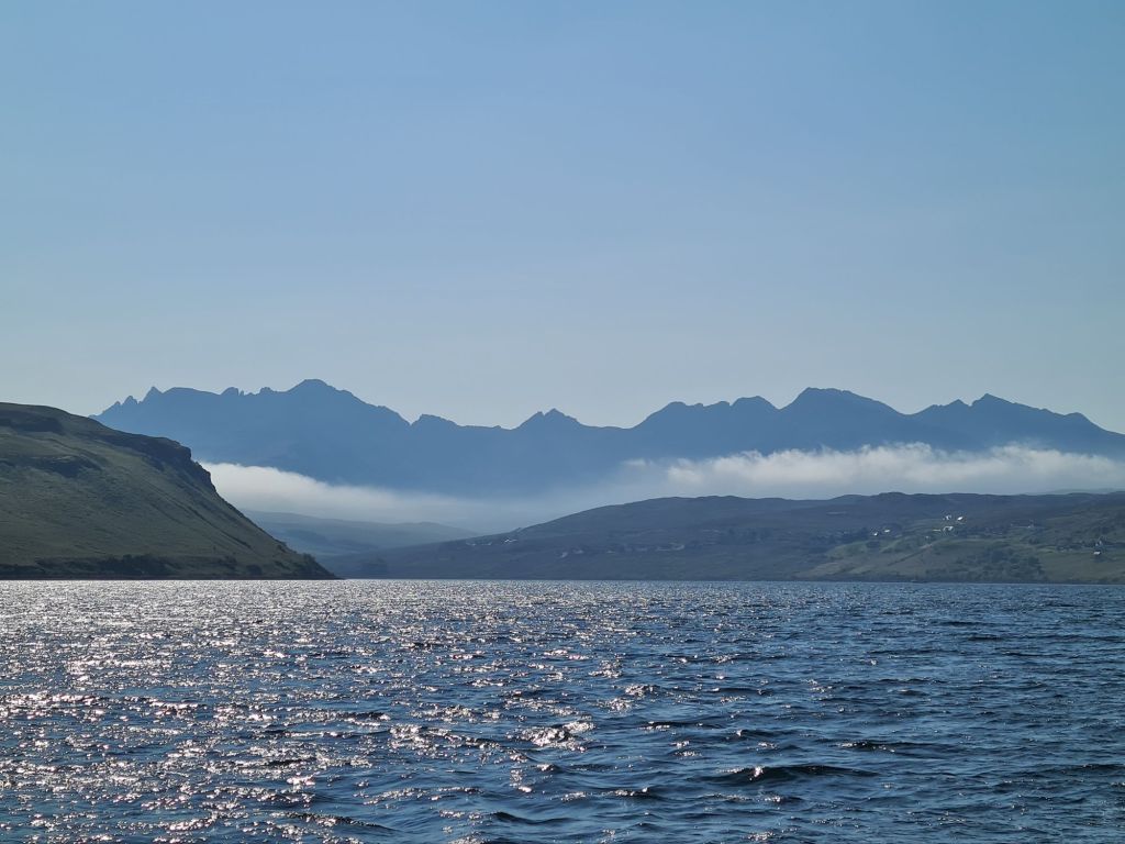
From Canna we made a lunch stop in the spectacular Loch Scavaig, which is surrounded on three sides by the dramatic Cuillins of Skye, mountains of modest height but tough reputation, which rise from sea level. The Cuillins include 11 of the 282 Munros, hills over 3,000 feet, which keen walkers in Scotland spend many years ticking off on their maps. The Pinnacle in the Cuillins is the only Munro where ropes have to be used.
View from the saloon in Loch ScavaigMichael went for a swim in the sheltered loch Scavaig, though at 12 degrees it wasn’t for me.
We spent the night in Loch Harport, after beating 20 miles up the coast in an unexpected Force 6, which was dropping off the Cuillins on an evening that was probably much calmer everywhere else. Loch Harport was serene as soon as we entered. It is home to the Talisker distillery.
The Cuillins in early morning as we left Loch Harport
Next to see was the beautiful Loch Moidart on the mainland, last visited by us in 2013 and inaccessible if there is strong onshore wind or swell.
Spring Fever is anchoredin the distance, just in front of the small islandin Loch MoidartThe castle, which is connected to the land by a sandy causeway carpeted in samphireThe castle seen from Spring FeverSpring Fever at anchor in Loch Moidart
A local sailor said Richard Branson’s sister owned Shona, the largest island in the loch, which has a mansion with guest houses scattered around it in the woods and by the shore.
After a week away we spent the night at Tobermory for fuel, water, groceries and a shower, and then enjoyed a gentle day-long motorsail in light winds round the west of Mull. We went past Fingal’s Cave on Staffa, through the Sound of Iona, passing the Abbey. For photos of both see last year’s cruise book.
Next stop was Loch Ardalanish, on the south coast of Mull, which we would never have attempted without the excellent Antares large scale modern charts. They are an absolute essential for any Scottish cruise, and we first used them in 2012.
Just like off the Cuillins, the wind suddenly rose to Force 6 in the lee of the hills on our way along the coast, so we were nervous as we battled through the narrow rocky entrance – only to find a magical calm as the lay of the land entirely protected the little bay.
There’s room for very few yachts to anchor comfortably but luckily we were alone. There’s also a second even smaller branch of the loch right next door, where another yacht spent the night.
Anchored in Loch Ardalanish
Next day we tried another complicated rocky entrance, using Antares, when we motored into Inner Loch Tarbert, which took us to the centre of the island of Jura.
Loch Tarbert anchorage
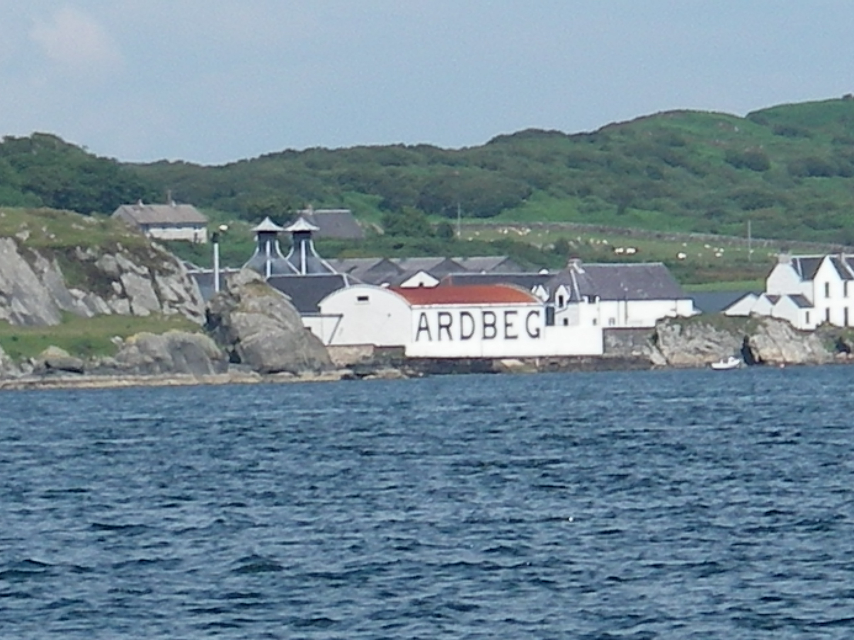
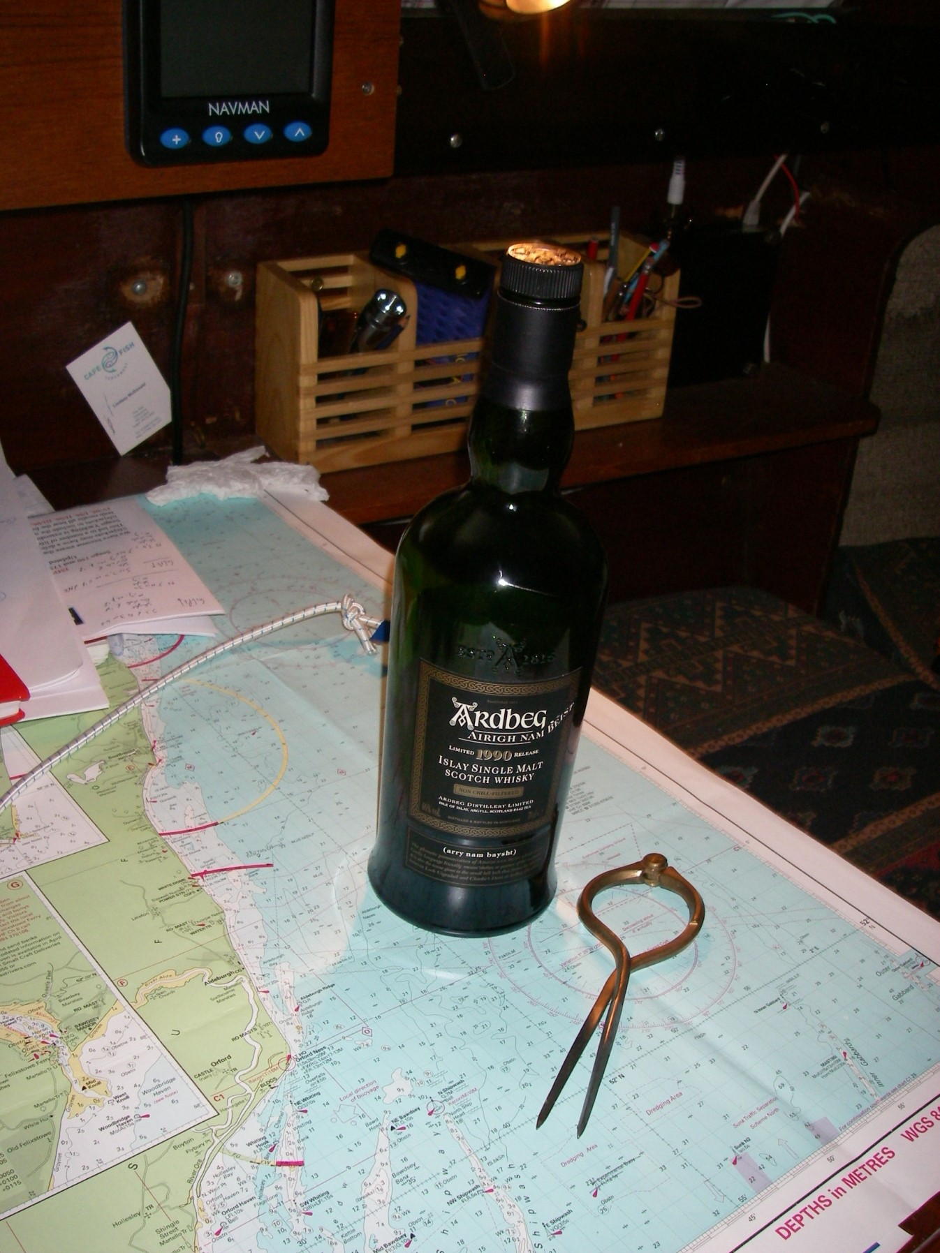
After a good night’s sleep we went down the Sound of Islay with the tide, then inshore of the Ardmore islands, carefully following the Antares chart. The short cut looks too difficult on any other chart. That night was the only uncomfortable one, spent on a buoy outside Ardbeg distillery on Islay, where a nasty little chop made the boat rattle and squeak all night. (We skipped the distillery visit).
With the wind in the north, veering east, we headed for Loch Stornoway, on the mainland just north of Gigha, because it is perfectly sheltered in these conditions (but badly exposed in southerlies). The Admiralty chart labels the loch as dangerous because of the extensive reefs in the entrance, but Antares charts show a simple way through, and once inside the loch it is broad, shallow and sandy.
Looking back at the entrance reefs from Loch Stornoway
We were so relaxed on a sunny evening that we just put out the usual 4 times depth of the chain, and had a harsh lesson as a result: there was a sudden short blast of wind from the east at 1am that ripped the anchor out of the sand. We should have been more alert to that risk after the two previous unexpected strong winds, neither of which had lasted more than an hour.
I’ve never seen an anchor drag so far, so fast and – luckily – so noisily. We doubled the chain length and went back to bed, checking regularly for the rest of the night. But Spring Fever did not budge another inch.
The wide, sandy bay of Loch Stornoway
It’s a warning for the future: even in benign conditions, Scotland can produce blasts of wind. It has prompted us to extend our ground tackle before we sail again. (We had 30 metres of chain plus 50 metres of rope, but have since doubled the rope length. A racing hull cannot take the weight of chain in the bows that many Scottish cruising boats have).
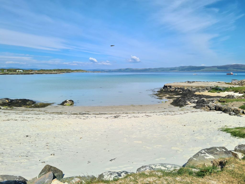
Finally, from Loch Stornoway we went to the delightful island of Gigha, with its temperate climate warmed by the Gulf Stream.
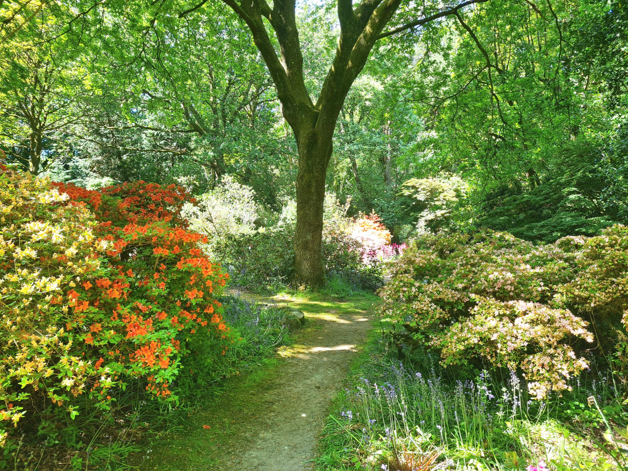
White sand on Gigha….…the lovely Achamore Gardens, with restoration now well under way...…a sheltered Gigha mooring in everything but easterlies….…and lunch at the Gighacafe. There’s also a well-regarded restaurant, but it isn’t open early in the week.
We didn’t stay the night at Gigha, deciding instead to go back to Loch Stornoway for its perfect shelter from the forecast northerly to easterly breeze and also to be 8 miles closer to home for the next day. Needless to say, we put out a lot more chain.
In the Sound of Jura
We motor sailed up the Sound of Jura, through the Dorus Mor tidal gate against a fading neap ebb tide and then north up the Sound of Luing – ferociously rough places in bad weather because of their fierce tides, but benign that day.
We gave the infamous Corryvreckan between Jura and Scarba a wide berth, though at neap tides its famous whirlpool and standing waves would be absent, and I suppose we could have gone through if we had really wanted to.
We were back at base on Kerrera by 7pm, ready to pack up and go home. The weather broke the day after we left!
After planning a two-year round Britain cruise, we’ve just decided to make it three.
The more we plan, the more we find there is to see, so why rush back 700 miles to Cowes this year when we don’t have to? We’ll spend the extra time seeing more of Scotland, and head back next year.
Kerrera Marina, across the bay from Oban, will remain our base.
After waiting all summer for summer, it finally arrived in Scotland last week, with sun, light winds, and calm blue seas.
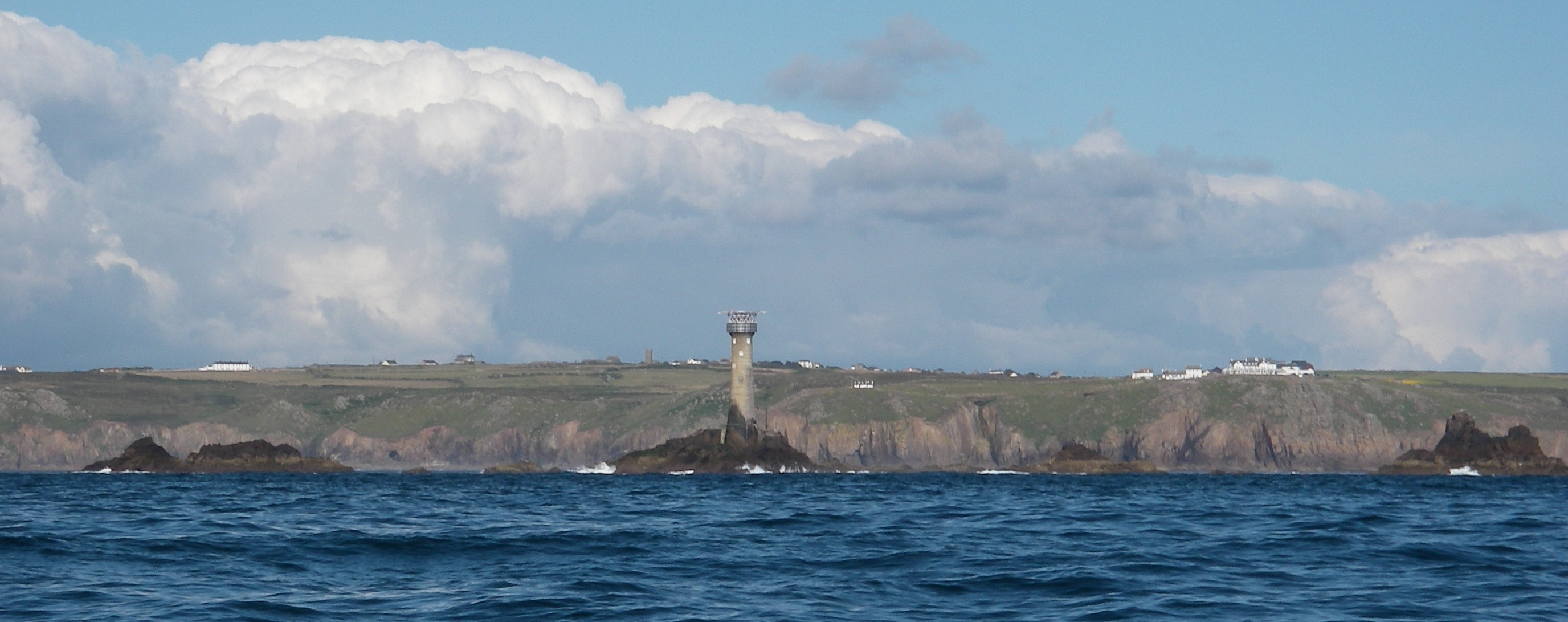
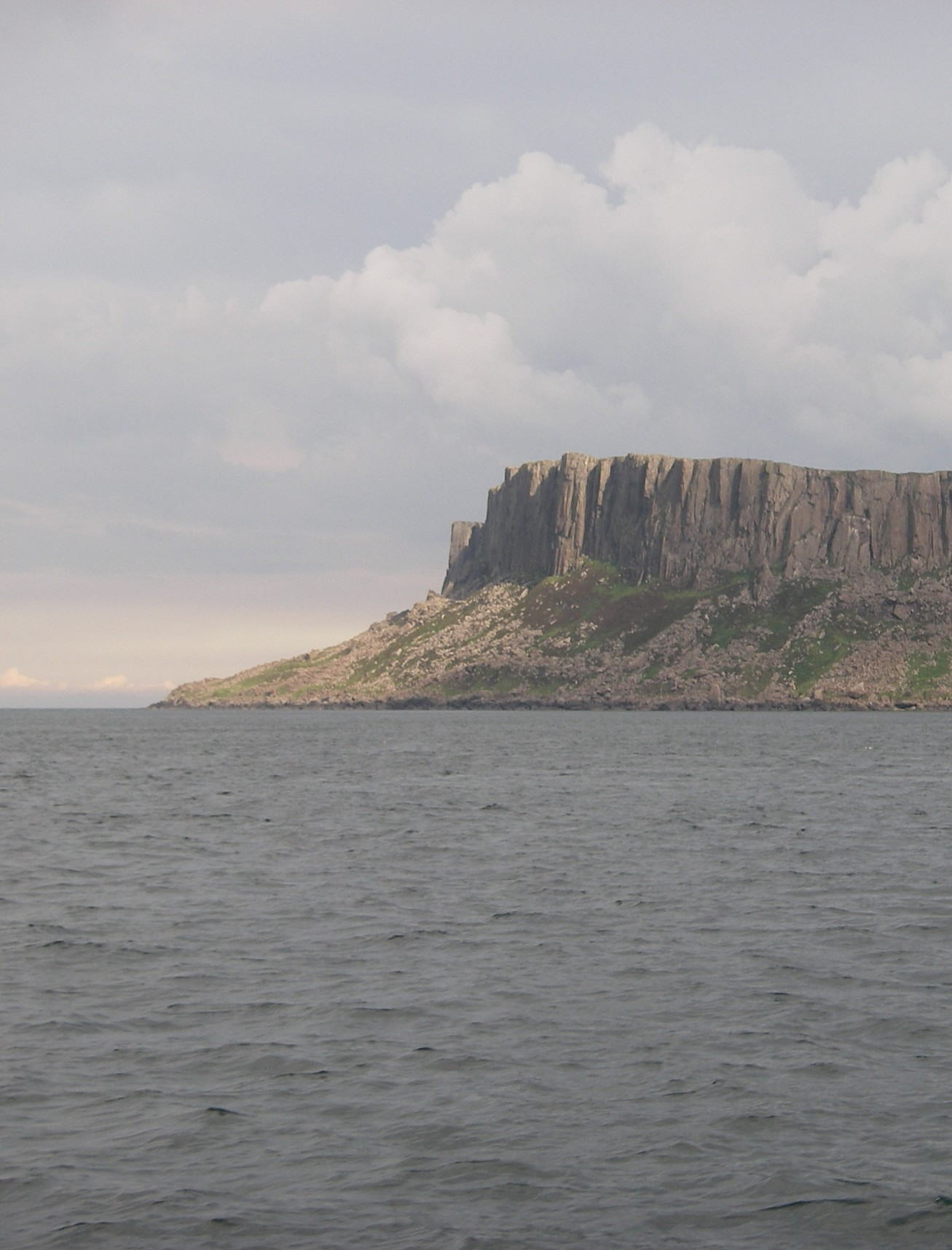
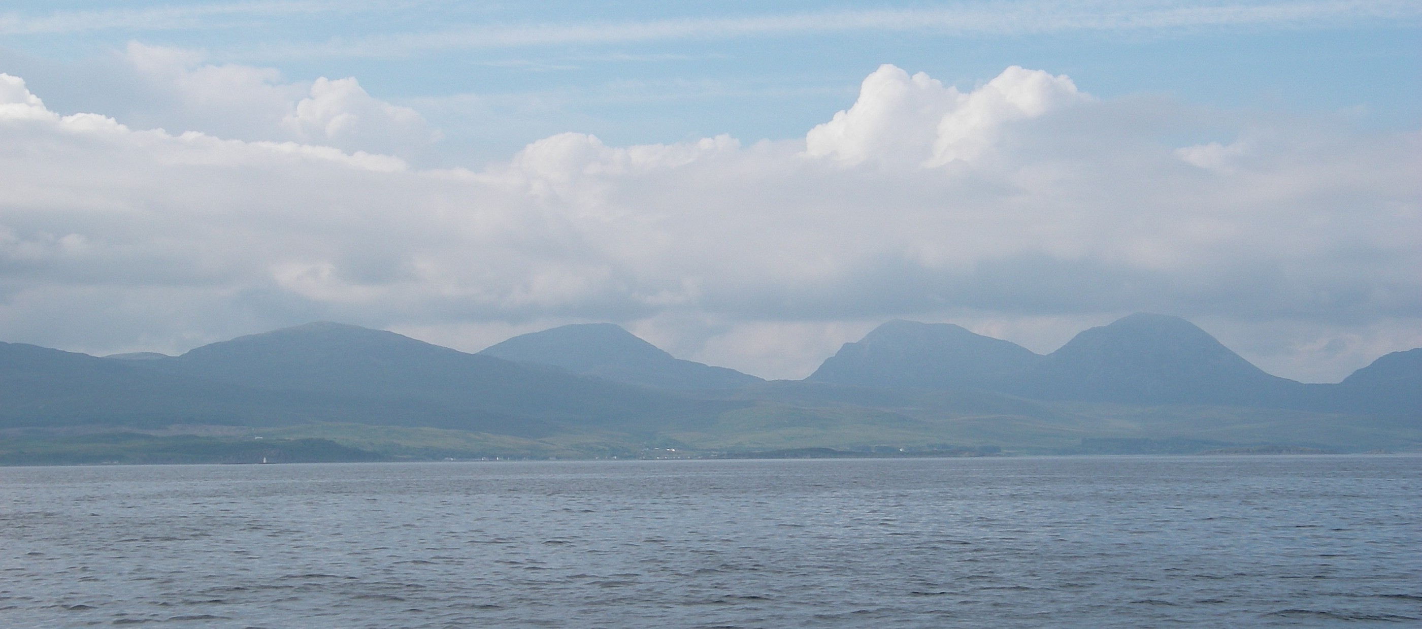
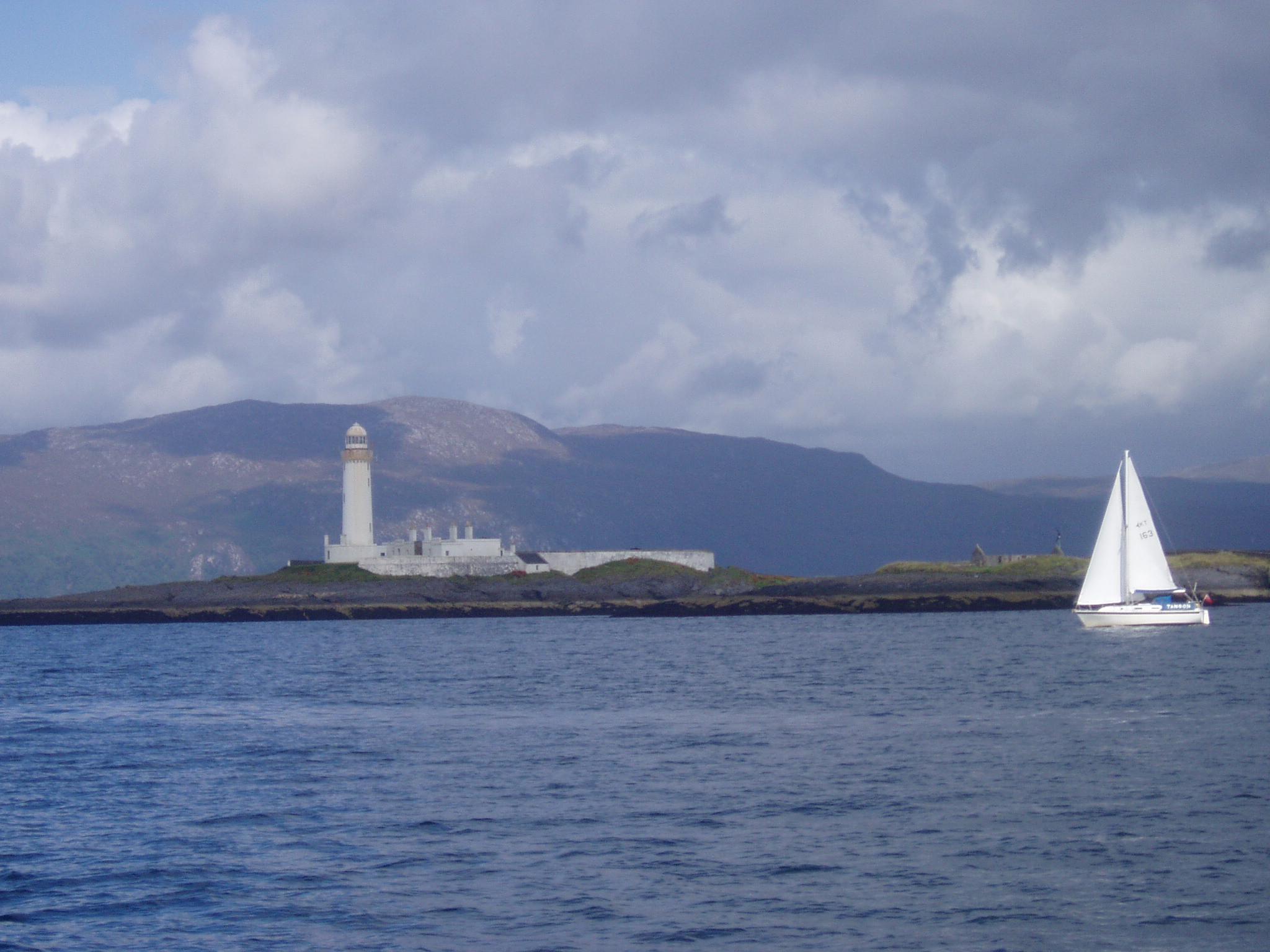
Heading across the Firth of Lorn past the lighthouse to the start of the Sound of Mull
We were back for the first time since late July. The wind was generally from the east, so it was a good week to see the little islands west of Mull – Treshnish, Ulva, Coll and Tiree, plus a night in beautiful Loch na Droma Buidhe and another in a sheltered gap in the rocks near Iona called Tinkers Hole. For this week, captioned photos tell the story.
We left Tobermory on a grey day, with wind blowing from dead ahead along the Sound of Mull and rain clouds chasing each other across the sky. It was a wet and blowy last 25 miles to our destination, the island of Kerrera on Oban Bay, where we’ve rented a mooring for a year.
This is the story of the first year of our two-year round Britain cruise in Spring Fever, a retired racing boat on a mission to go slowly (like us). A previous round Britain in 2007-8 in an earlier boat, Pepper of Brixham, had left us hungry to see more of the beautiful West of Scotland, where we had time to spend only a month sailing.We decided to go anti-clockwise, up the East Coast and down the West, rather than the clockwise route we used last time, and to use the Caledonian Canal rather than Cape Wrath and the Orkneys, which we visited in 2008. The account of our passage back from Scotland down the West Coast of Ireland in 2013 was written as a daily blog (follow this link to see all the posts) but this first part of the cruise is a single account, a photo album with words.
A cheerful start – Robin off Beachy Head
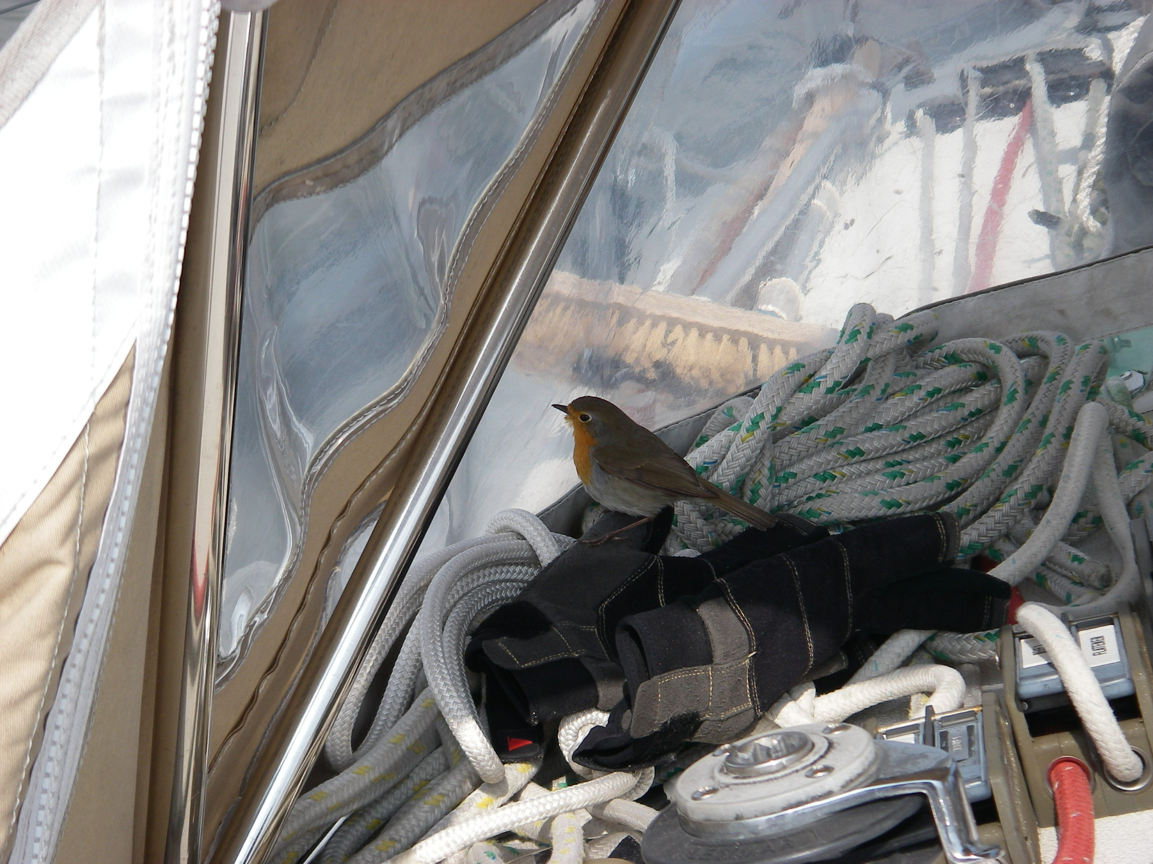
We left Cowes on 11 April 2012 for what always seems a bit of a trudge to the Thames Estuary, though with the right timing there are about 11 hours of favourable tide on the way from Beachy Head to Ramsgate, which cheers things up. After leaving Brighton, for an hour or two we were much entertained by a stray Robin’s search for a safe haven on the boat. He eventually found such a good hiding place – it was a mystery where – that we didn’t see him again until he flew off while we were entering the Deben in Suffolk more than a day later. He had hitched a 130 mile ride.
Follow this link to read the the rest of the story of our cruise up the East Coast and through the Caledonian Canal.
Goodbye, Kehaar. In 2001 we decided we were spending too much money and time on the boat we had owned for ten years, and sold her. Wouldn’t it be much more sensible to charter other peoples’ boats in nice places, and get on with our lives the rest of the time without obsessing about equipment and cruises?
Pepper of Brixham
For several years it worked. Hello, Seychelles, Adriatic (several times), Greece and other destinations. However, William began to investigate the idea of buying a small boat and sailing round Britain in his gap year, so naturally I helped him narrow down the choice and began to visit boatyards with him to look at ideas, with a Contessa 26 the favourite. We looked at several.
It was the beginning of a slippery slope back to boat ownership. Will changed his plans and went off round the world using other means of transport; I kept on visiting boatyards, egged on by a small inside voice telling me that it would be good to have a healthy outdoors project in the run up to retirement, and sailing round Britain could fit the bill – my own sort of gap year. The upshot was that in 2005 we bought Pepper, a Verl 900, a 30 footer with an unusually large amount of room down below for a boat from 1978, and a surprisingly good turn of speed for her top-heavy looks.
She had a new engine and Furlex, and the hull had just been resprayed professionally, but otherwise she needed a big refit, which we spread over two years, until we had new rigging, electronics, sails, ground tackle, and a host of the other odds and ends that need renewing on every boat of this generation. The plan was to go slowly, fitting a round Britain cruise into other schedules by doing it in stages, exploring as we went, and finding places to leave Pepper whenever necessary, including a winter at Oban in Argyll.
SUFFOLK, FALMOUTH, DUBLIN, OBAN
Goodbye, Kehaar. In 2001 we decided we were spending too much money and time on the boat we had owned for ten years, and sold her. Wouldn’t it be much more sensible to charter other peoples’ boats in nice places, and get on with our lives the rest of the time without obsessing about equipment and cruises?
Pepper of Brixham
For several years it worked. Hello, Seychelles, Adriatic (several times), Greece and other destinations. However, in 2004 William began to investigate the idea of buying a small boat and sailing round Britain in his gap year, so naturally I helped him narrow down the choice and began to visit boatyards with him to look at ideas, with a Contessa 26 the favourite. We looked at several.
It was the beginning of a slippery slope back to boat ownership. Will changed his plans and went off round the world using other means of transport; I kept on visiting boatyards, egged on by a small inside voice telling me that it would be good to have a healthy outdoors project in the run up to retirement, and sailing round Britain could fit the bill – my own sort of gap year. The upshot was that in 2005 we bought Pepper, a Verl 900, a 30 footer with an unusually large amount of room down below for a boat from 1978, and a surprisingly good turn of speed for her top-heavy looks.
She had a new engine and Furlex, and the hull had just been resprayed professionally, but otherwise she needed a big refit, which we spread over two years, until we had new rigging, electronics, sails, ground tackle, and a host of the other odds and ends that need renewing on every boat of this generation. The plan was to go slowly, fitting a round Britain cruise into other schedules by doing it in stages, exploring as we went, and finding places to leave Pepper whenever necessary, including a winter at Oban in Argyll.
We hadn’t discovered WordPress in 2007, so this is not a blog but a photo album with text.
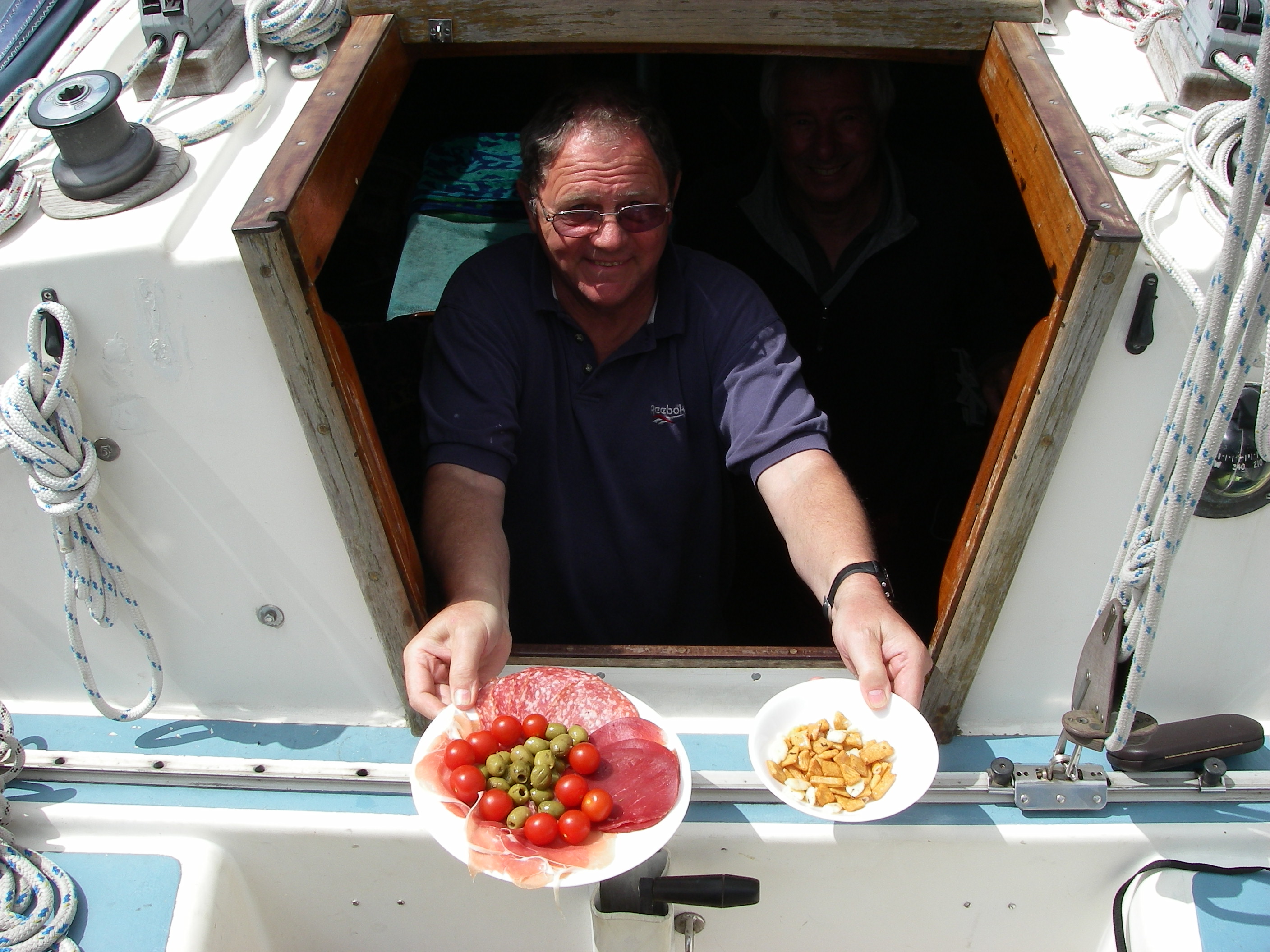
David at Lulworth CoveTony serves lunch in the cockpit
We had a fast passage from Shotley Marine on the River Stour to Ramsgate, where we stopped for a couple of hours for fish and chips and to wait for the tide, before heading on to Brighton, Cowes and Poole, then a lunch stop at Lulworth Cove and a night at Weymouth for a rest, before heading off across Lyme Bay.
Pepper alongside the pontoon in Weymouth HarbourAt Poole town yacht havenAlongside the pub at Totnes
We went inside the Portland Race, crossed Lyme Bay to Dartmouth, and up the River Dart to Totnes to drop off David Fairhall near the railway station – there is a pub next to the boatyard where a 5 foot draft boat can squeeze in for an hour at high tide. Tony and I headed straight down river and out to sea and set sail for a night at Salcombe and then to Falmouth, and into Malpas Marina, where we had arranged to leave the boat for 6 weeks. The passage from Suffolk – with David, Tony and myself – took a leisurely week, in mostly fine weather.
Judy at Malpas
We drove back to Falmouth in early July, with Judy, Georgia and Tony; the weather was bad, with a howling southwesterly much of the time. We moved to Falmouth’s visitors’ marina and settled down for some traditional wet west country holiday making in the rain. It was almost nostalgic for old times, walking up and down the High Street dripping wet, fish and chip restaurants (I know where not to go now after the food poisoning one of them gave us), the Ghurka restaurant (very good) and pubs over-run with damp visitors. We also paid a visit St Mawes, where we had kept Kehaar for four seasons in the 1990s.
Freshwater Boatyard, St Mawes, where we kept Kehaar for four seasons, wintered on the beach with a pair of legs.
The weather refused to let up, with violent gusts for days, making even a brief excursion up the River Fal a lively, heavily reefed sail.
Georgia and Tony contemplate the bad weather on the harbourside at St Mawes
We had to drop our plan to visit the Scillies en route; as soon as the weather settled, Tony Georgia and I (Judy had to get back) sailed straight for Dunmore East at the entrance to the river that runs up to Waterford. The weather was perfect, with a beam or close reach most of the way, and bright sun as we passed the Lizard, crossed Mounts Bay and rounded Lands End and Cape Cornwall for the passage North.
Georgia, off Lands End… and Peter.Passing the Longships light off Lands EndSunset
The breeze held through the night, and the next day we had fun trying to film the dolphins that milled around us, before arriving to raft up alongside a fishing boat in the harbour at Dunmore East, an attractive little holiday village, where it didn’t take long to find a good pub for supper.
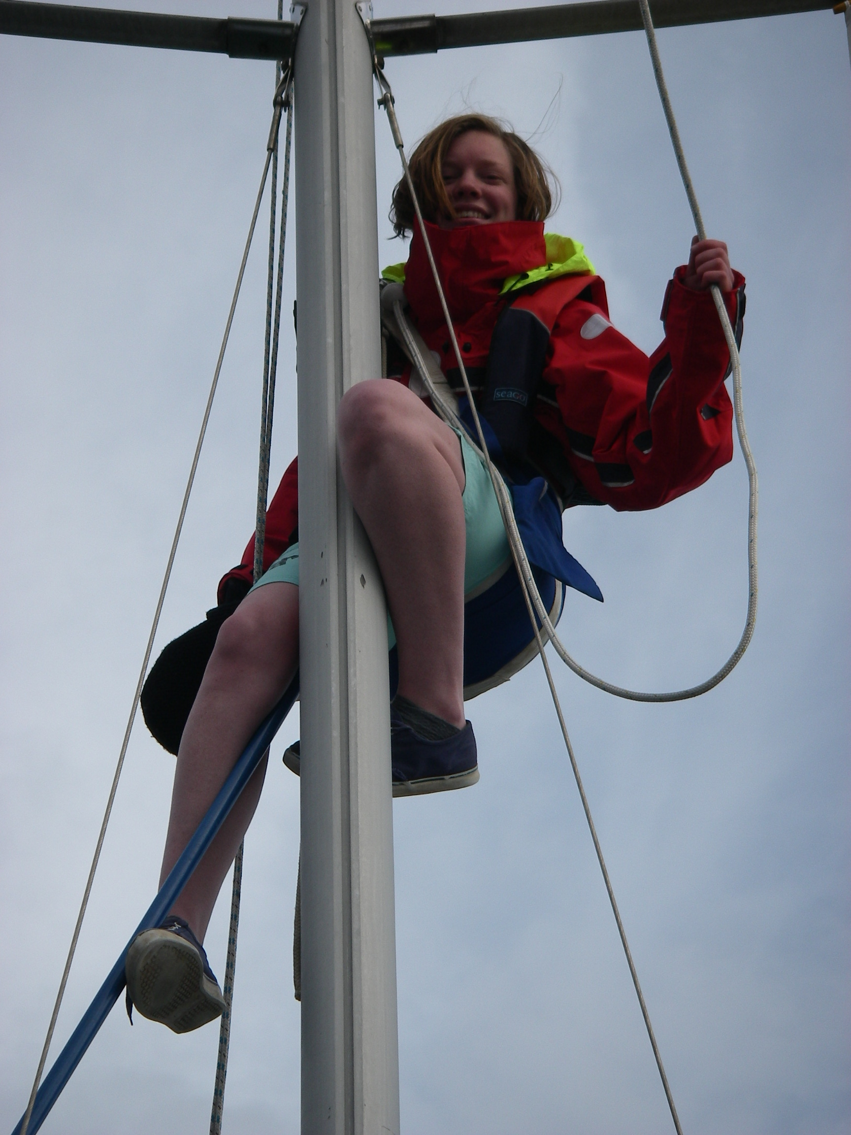
The plan next day was to head past Hook Head for Carnsore Point, the south-east corner of Ireland, and then up to Arklow. With a good breeze out in the estuary, we managed to get the main halyard badly tangled round a mast fitting, and after struggling with it for a while decided to head back to calm water at Dunmore East to sort it out. Georgia volunteered to go up the mast to free the halyard.
Georgia up the mast at Dunmore East
On the way, we took a short cut inside the Saltee Islands, across St Patrick’s Bridge, a narrow buoyed channel in the long underwater reef that stretches nearly 2 miles from the inner island to the shore. (As we were crossing, my phone rang with a completely unnecessary call from the office! I hadn’t yet retired.) We entered the narrow harbour at Arklow, turning off into a small marina just outside the town.
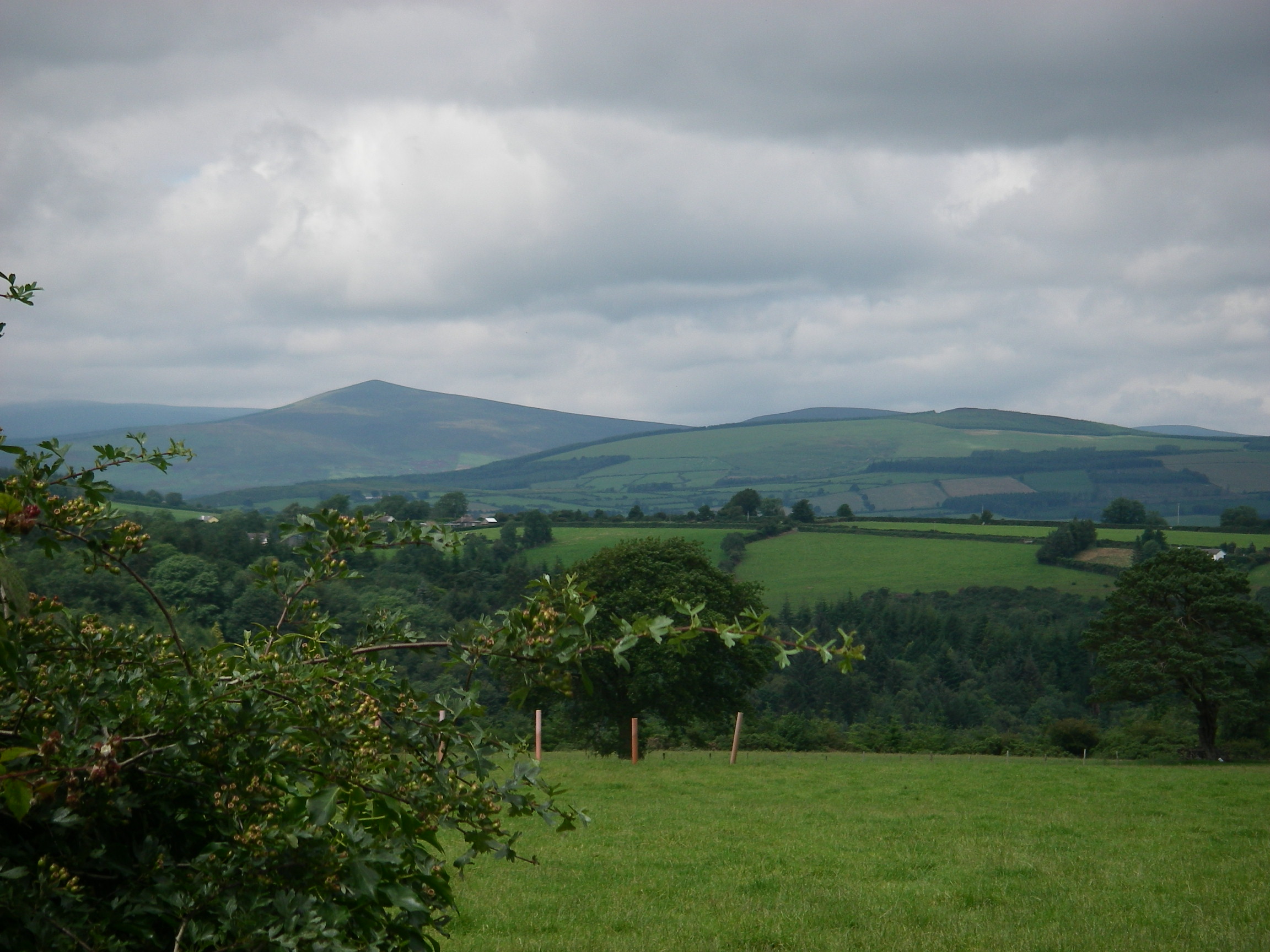
I had a special reason to visit Arklow, because it was the nearest town to my grandfather’s farm at Monaglough, near Wooden Bridge and Avoca, which I had never seen. One of my sisters had found it some years before and gave me rough instructions about how to get there, so we rented a taxi for the morning and headed off in search of it.
The view from near grandfather’s farm
Even the pub at Wooden Bridge wasn’t sure where Monaglough was, so we stuck with my sister’s directions, but couldn’t find the steep road up a hill that she described until we stopped at a house and asked, mentioning my grandfather’s name to an elderly man: he knew the family history, told us about a cousin who had moved to Avoca and gave us exact directions to the farmhouse.
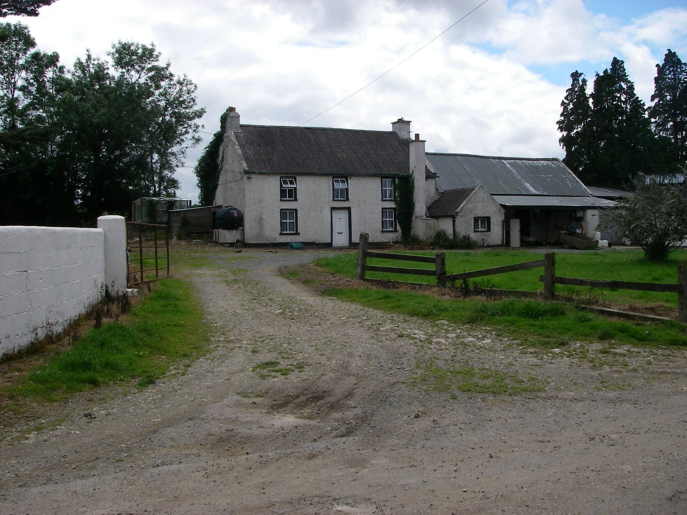
Georgia outside grandfather’s farmThe field at the back of grandfather’s farmhouseThe farm across the road, which we discovered later was still owned by my mother’s cousins.
We told the taxi to come back in an hour, found the turning up the steep hill, walked to the top and there was the farmhouse, sold off many years ago, after the death of the uncle who took it over when my grandfather, the oldest son, died.
My grandfather never seems have taken it over or farmed it anyway, though exactly what happened with his inheritance is unclear. He emigrated to London in his twenties, and refused to return to Ireland. But my mother spent childhood holidays on the farm with her grandparents, uncles, aunts and cousins; we marked it carefully on the map, so that a year after us my mother, helped by my sisters, was able to visit. She introduced herself to the new owners, and among much other news discovered that the farm across the road was still owned by her cousins.
These farms are in one of the most beautiful parts of Wicklow, with a grand view over to the mountains, and a steep wooded valley on one side leading down to a river. Looked at in 2007, when Ireland was prosperous, it seemed a magical place. In the grim 1930s and 1940s, when farming in Ireland was an unrewarding slog, a secure job in London must have seemed a much better prospect for grandfather.
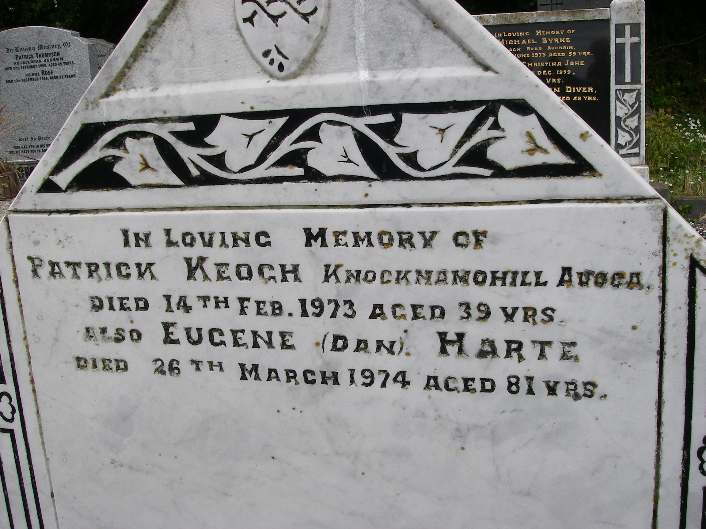
Dan Harte’s gravestone
We met the taxi again at the bottom of the hill, and drove a couple of miles to the local churchyard, which was full of familiar names, including grandfather’s brother Dan. There we discovered not only that his real name was Eugene, but also a bit of a mystery: Dan shared a grave with a much younger man with a different surname. We still don’t know why, though my best guess is that he was an illegitimate son.
From Arklow, we headed north on a fine day for Dublin Bay, and up the River Liffey into the marina (which since seems to have been closed) right in the centre of the city, where we stayed for a couple of days, after which Tony had to leave to catch a plane home to London and work.
Approaching Dalkey, on the southern end of Dublin BayGeorgia and Tony in DublinLeaving the centre of Dublin, Georgia..…and Peter.
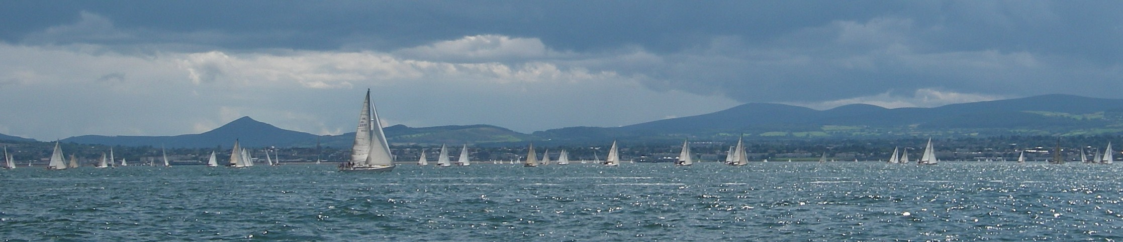
Racing in Dublin Bay
From Dublin, Georgia and I motored round to spend a night in the pretty town of Howth, and then to the little harbour at Ardglass just over the border in Northern Ireland, all in settled offshore weather.
On passage between Ardglass and Bangor
There was no time to explore the intriguing Strangford Loch because its entry and exits are governed by strong tides, and Georgia needed to get back too. So from Ardglass, a marina which played host to a seal who insisted on sleeping on one of the pontoons, we headed straight for Bangor on Belfast Loch, which is within easy reach of Belfast Airport; the next day Georgia caught a plane to London.
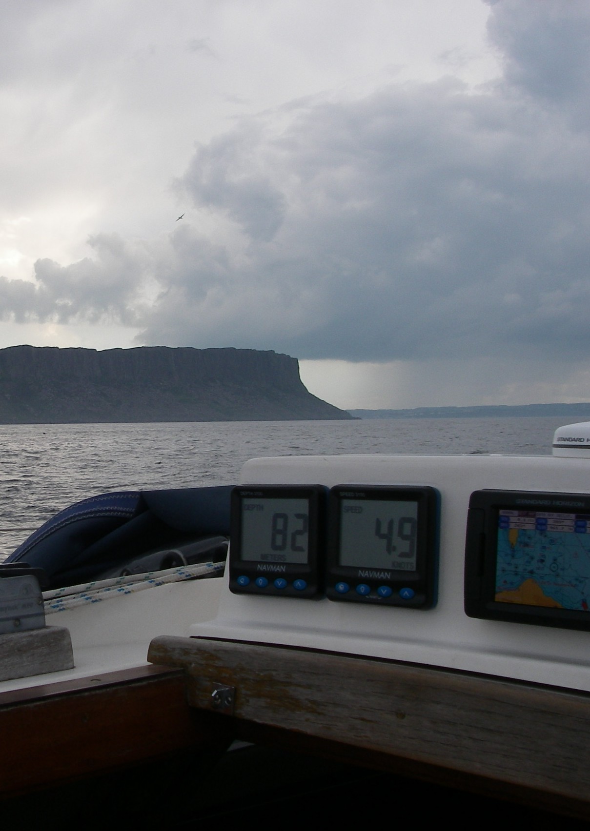
Fair Head before……and after.
I left Bangor on a fine clear morning, crossing the head of the loch, passing Larne and sailing fairly close in to the beautiful Antrim coast, with deep valleys down to the sea.
The weather turned squally and wet approaching Fair Head, the north east turning point of Ireland, then cleared as soon as I passed it, so I crossed the bay to the pretty seaside town of Ballycastle in bright evening sun.
Ballycastle Marina
The tides are strong between between Ballycastle and Rathlin, the crescent-shaped island two miles offshore. On a morning of light winds and sun, which became a flat calm by the afternoon, I set off for Port Ellen on Islay, rounding the west end of Rathlin.
West Lighthouse, RathlinFlat calm on the way to Islay
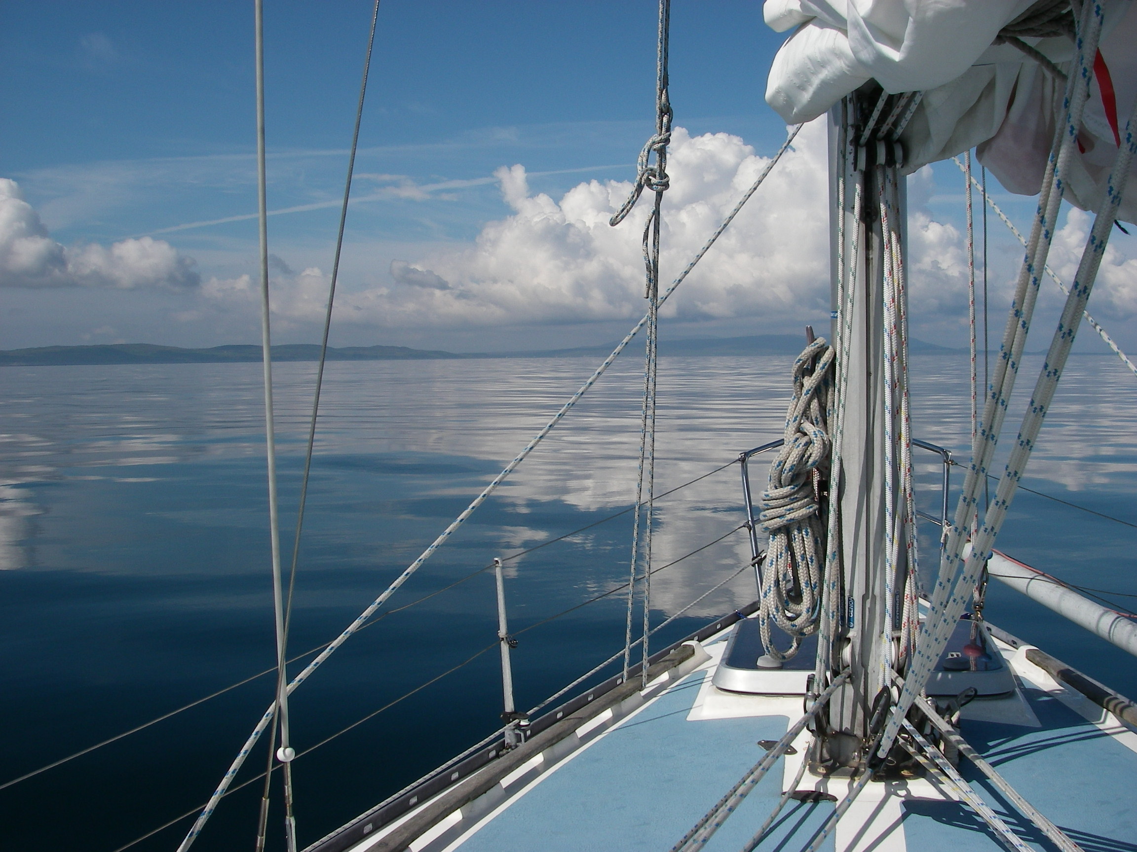
There’s never time to see everything, and I too had only a few days left to get back to London, so I regretted not exploring Rathlin on such a beautiful day. However, the passage across to Islay was a compensation: warm, hypnotically calm, with a view of the Scottish and Irish shores, and no traffic at all in the shipping lane.
A boat leaves along the channel from Port Ellen marinaThe view from the marina berth
Port Ellen is a friendly place, with showers at the back of a villager’s house, and I discovered an advantage of being single-handed, when I was asked onto the boat next door for drinks, dinner and a long conversation about the best places to see on the west coast.
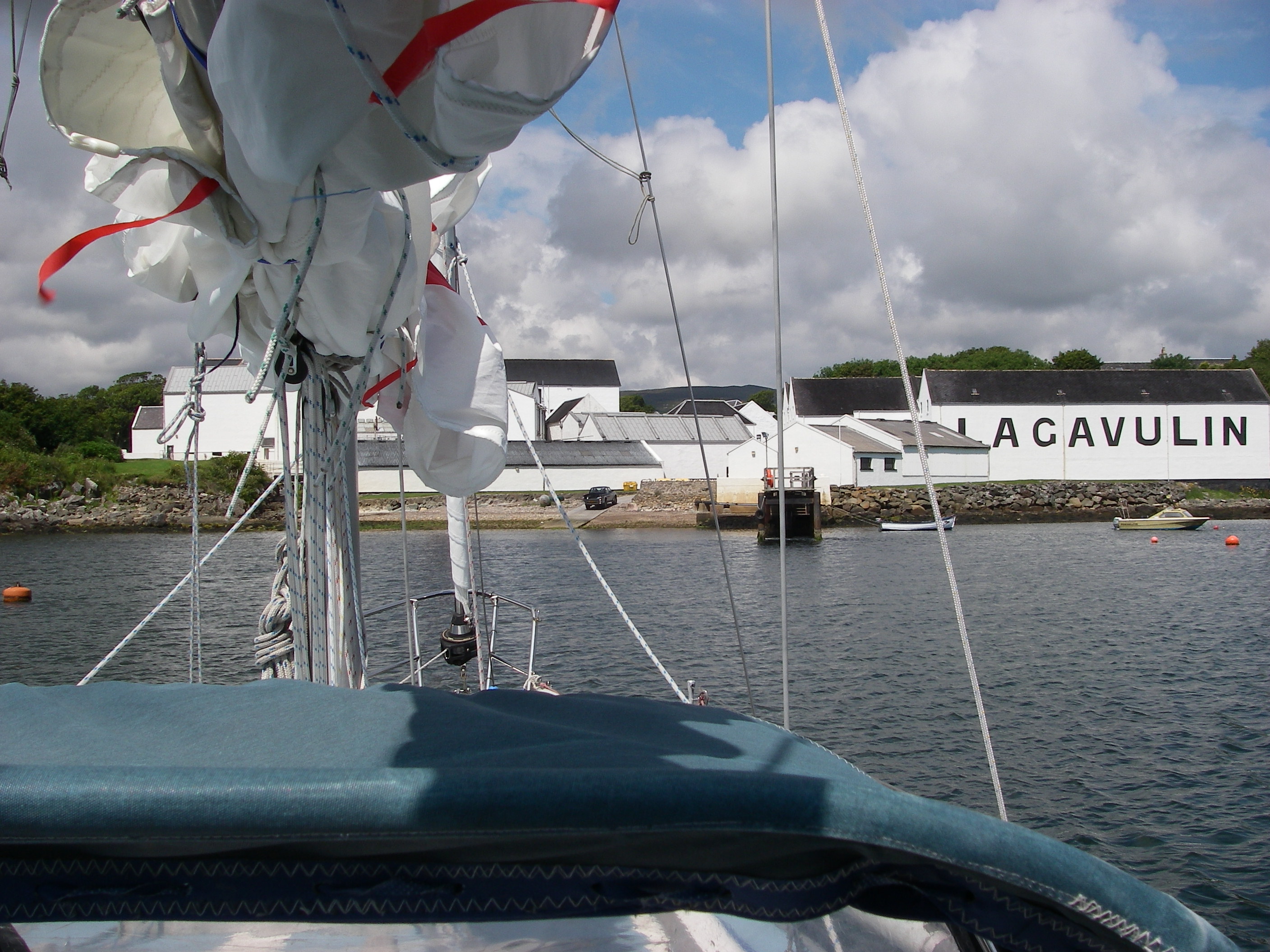
Laphroaig DistilleryLagavulin Distillery
Next day was bright and calm so I decided to go inshore among the rocks to see the three distilleries along the coast just north of Port Ellen (whose own distillery has closed, putting a high value on the remaining bottles). Going north, first is Laphroaig, then Lagavulin and then Ardbeg. North of all three is a delightful passage close in to the shore that feels almost like a canal, so hemmed in is it by the offshore rocks.
Leaving LagavulinArdbeg Distillery
I had time to go right in to Lagavulin, which involves rock hopping with the pilot book in one hand and the tiller in the other, and was rewarded by a tightly enclosed shallow bay with remarkably clear water and a great display of seaweed of different colours. Because of its position, there is hardly any tidal range so – temperature apart – the flora and fauna is living in Mediterranean-like non-tidal conditions. There were two visitor buoys.
From Islay, I plugged on up the Sound of Jura under engine in light weather, with the Paps of Jura – named after their shapes – off to port.
Paps of JuraThe moorings at Crinan
At Crinan, the end of the canal of the same name, I picked up a mooring buoy for the night. I had a view out to the great race of Corryvreckan, between the islands of Jura and Scarba. George Orwell stayed for a while in a house overlooking the race, and nearly lost his life saving a friend who had rowed out into it.
Leaving Crinan, there’s also a powerful race – nothing like the awe-inspiring Corryvreckan – leading into the Sound of Luing, between Scarba and the mainland. This leads up past the slate quarry island of Easdale into the Firth of Lorn.
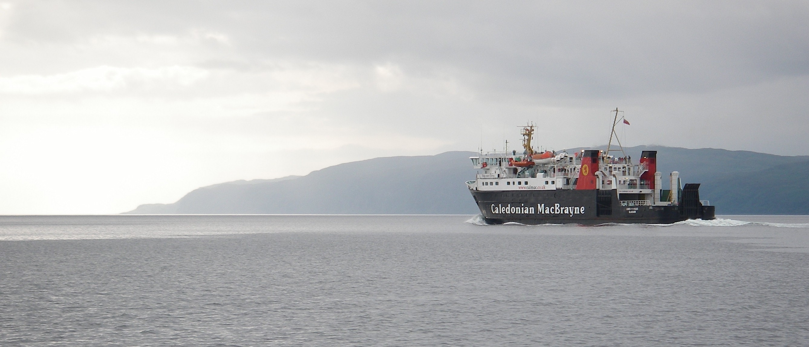
Calmac ferry Lord of the Isles heading down the Firth of Lorn
From there it was a short distance to the Sound of Kerrera, a pretty channel that leads to the grand sweep of Oban Bay. There I took the pontoon mooring I had booked in Oban marina on Kerrera. Pepper had arrived, but I had to get back to London.
Later in the summer, Chris and I were back for a short walking and cruising holiday. First, we did a delightful walk round Kerrera itself, a pretty island with a spectacular fort on its southern tip.
Chris walking on Kerrera
Mull seen from Kerrera
A friendly face?
Then we went up the Sound of Mull to Tobermory and spent a night in Drumbuie, whose narrow, rocky entrance opens out into a wide and peaceful loch, before heading back to Oban to lay up Pepper for the winter.
Heading over towards the Sound of MullTobermory
Chris, anchorage in DrumbuieLeaving DrumbuiePepper ready to be put ashore in Oban
We didn’t get back to Scotland to complete our slow cruise round Britain for nearly 10 months, until early July 2008, because of heavy work commitments, plus a few retirement parties just before we left.
The line from Glasgow must be one of the most beautiful railway journies in Europe, which made arriving in Oban by train a great pleasure. That was in spite of a mountain of luggage that needed a trolley to move, because we had taken the car to lay up the boat the autumn before, and made the mistake of taking too much stuff home.
Chris on board at ObanOne of the smallest ferries approach the dock at Oban.
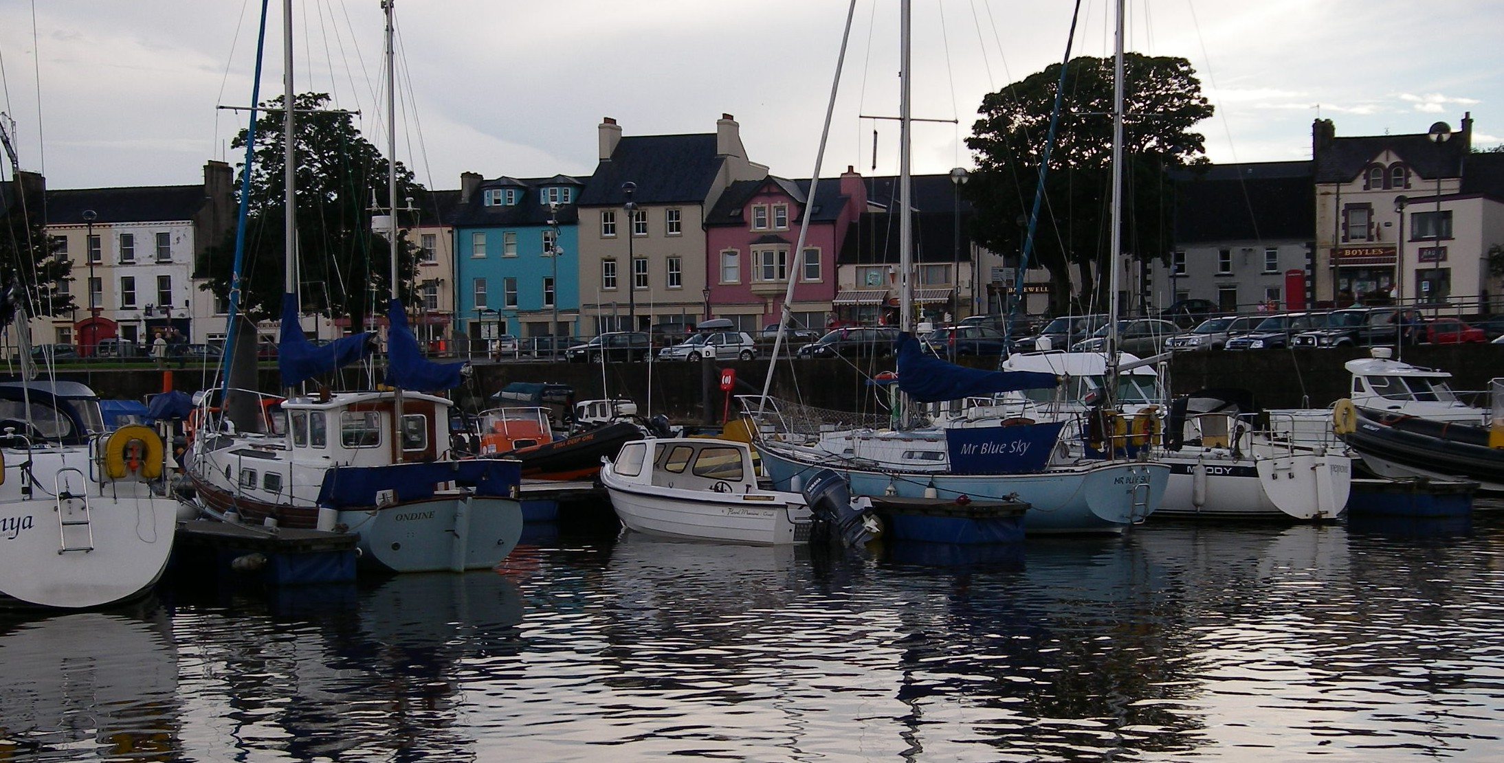
In some of the writings about the highlands, Oban is just the grim town at the end of the ferry lines, the gateway to Glasgow and the unspeakable southlands. We’ve always found it a delightful place in its own right, whose highlights include the best seafood stall I’ve found anywhere, in any country, right on the dockside by the ferry terminal. Scallops plain or with garlic, mussels in white wine, crab cooked in vats at the back of the stalls and delivered in shells or sandwiches, and superb local oysters, which can be eaten standing at a long wooden counter. It is the first and only place I’ve had mussels for breakfast, copying the party of Japanese tourists ahead of me.
From Oban, we set off up the Sound of Mull for Arisaig, where we were due to meet Tony and Judy. For the first night, we called in at Loch Drumbuie, near the entrance to Loch Sunart. Drumbuie is exceptionally sheltered because its entrance is so narrow; though the holding ground is not brilliant for the anchor, it is a peaceful place for a night’s rest, once secure.
The anchorage in Loch DrumbuieChris in the cockpit in Loch Drumbuie
Next morning was dank and misty, with visibility down to under a mile as we headed north-west towards Ardnamurchan Point, glad of the chartplotter to save on pilotage work. The sky cleared briefly for half an hour of bright sun and then the cold and clammy murk descended again as we rounded the point and headed across to the entrance to the harbour of Arisaig.
A German schooner near the North of MullCoffee to get warm near Ardnamurchan
This is an extraordinary place, because you have to pick up a narrow entrance on a low, rocky shore and follow a winding but thankfully well-marked channel through a maze of rocks and over a bar until it opens right out into Loch Nan Ceall, where moorings, a jetty and a village with shop, pub, hotel, restaurant and cafe can be found. There is also a railway station on the Oban to Mallaig line.
We arrived in poor visibility, had trouble picking up the marks and of course did not trust the chartplotter until the track had been checked with a conventional entry using the chart and pilot book, so there was no time spare for photographs as we went in.
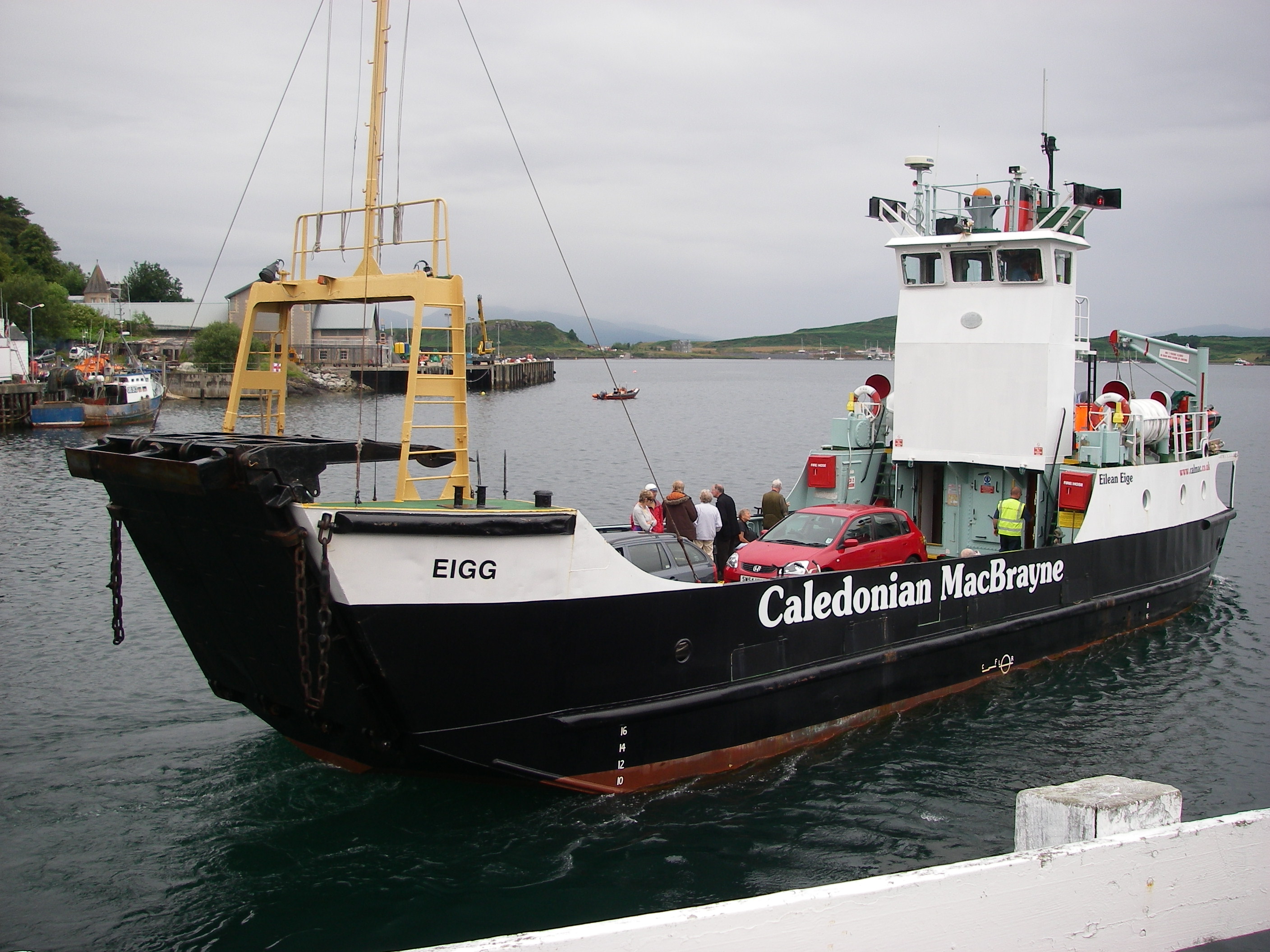
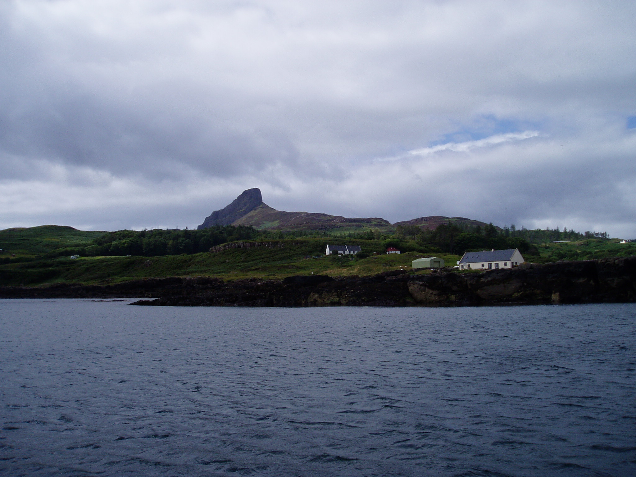
Still ready for punishment, we went in and out again the next day in rather bleak weather that called for just as much concentration at the entrance. We went across the sound to have lunch at the anchorage at the island of Eigg, which is between the main island and its small neighbour Chathastail; it turned out to be quite an uncomfortable passage because of a short steep chop, and the temperature fell precipitously.
The anchorage at EiggPeter at ArisaigJudy at Arisaig’s jetty
Back at Arisaig, Judy and Tony had found a bed and breakfast behind the restaurant, so comfortable that we weakened when we discovered that there was a room free, and checked in for the night. Judy and Chris were heading back south by car the next day, while Tony and I were getting ready for the passage north through the Sound of Sleat and Khyle Rhea, the narrow fast-running passage between Skye and the mainland.
Peter and Tony heading off to Pepper (in the distance) for the next leg of the cruiseHeading into the Sound of Sleat
In Khyle Rea, we got up to 12 knots over the ground as we raced through on the tide, dodging the little ferry that crabs across from the mainland; we skittered through to Loch Alsh, under the Skye Bridge and north to pick up a mooring at the beautiful village of Plockton, so sheltered that it has palm trees on the waterfront. The next day, with a brisk broad reach, we headed up the Sound of Skye and slipped through the narrow passage between Fladday and Rona to the Sound of Raasay, and then to Gairloch, in Loch Gairloch. We found a pontoon for the night at the harbour, and looked up some friends of one of my sisters. They were very hospitable, driving us out to dinner at a delightful pub at Druimdarroch on the other side of the loch. We noticed some moorings which would be handy for the pub.
Stornoway Harbour, alongside waiting for a berth at the marina further up.
The next day we set off at a good pace for Stornoway on the outer Hebrides island of Lewis, in brisk weather.
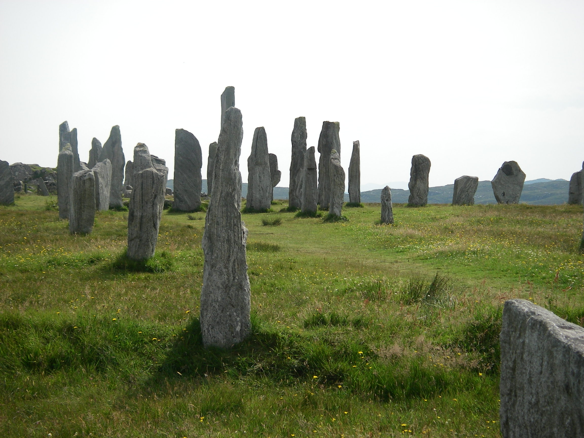
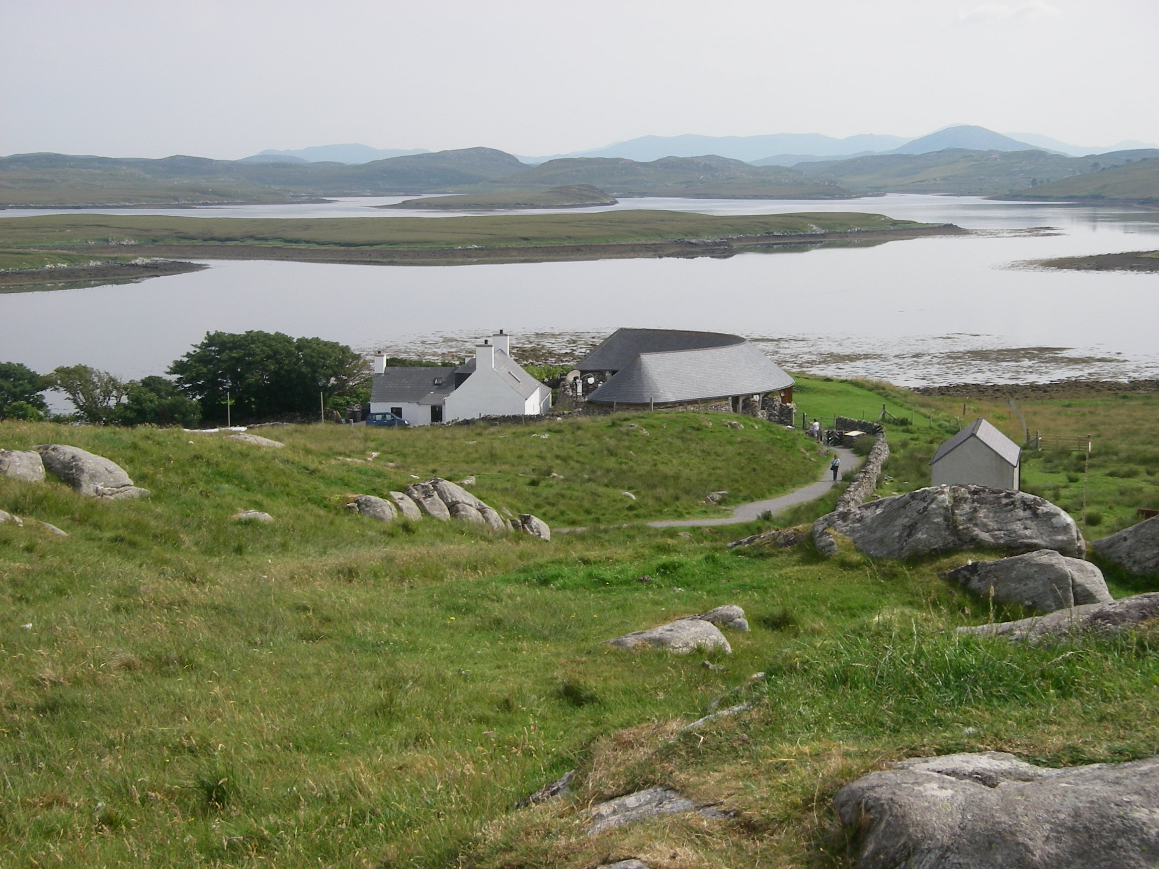
The highlight of our time on Lewis was a local bus journey to the 5,000 year old standing stones at Callanish, near the Atlantic side of the island; the stones are not individually as large as at Stonehenge, but there are many more standing, and they are in an impressive position, close to a sea loch on a wild, windswept hill.
CallanishView from the stones, and the visitor centre neat the loch
There was a good visitors’ centre, but back at Stornoway we found the local museum gave a wider context to the island’s pre-history, which goes back 7,000 years. One of the most astonishing things I learnt was that the great peat bogs on the west of Lewis were the result of over-intensive agriculture several thousand years BC, a fact which gradually emerged as the stone field boundaries and remains of villages were found as a result of peat digging.
Cape Wrath just visible on the horizon, below the genoa
We set off from Stornoway on a bright, sunny day with a good breeze, heading for Cape Wrath (Norse for turning point), hoping to go close inshore in the fine weather.
Nearing the Cape
As we approached, the easterly wind and the seas gradually got up, and it looked liked we’d be faced with wind against tide as we got near the headland, which has a reputation for turning suddenly fierce.
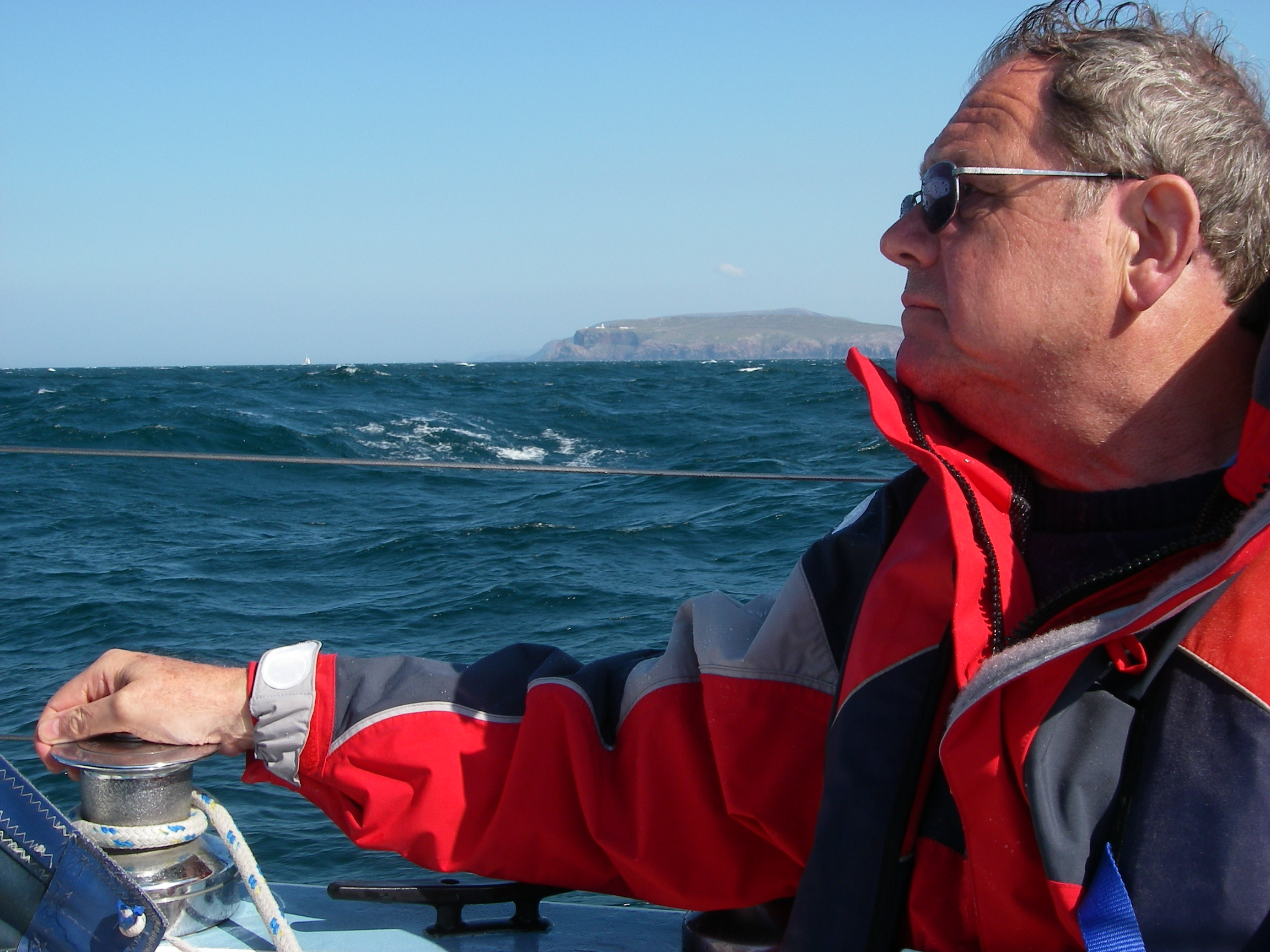
Tony with the Cape behind him
So we headed about 5 miles out. Shortly after this photo was taken the wind was up to 6 gusting 7 coming from exactly where we wanted to go for the night, Loch Eriboll (the Navy’s Loch ‘Orrible from the days when warships sheltered there), a few miles along the northern coast of Scotland; we were down to three reefs and making no progress against short, steep waves, so put the mainsail away and motor sailed with the reefed genoa only, which got us down to 15 degrees off the wind rather than 40 degrees, giving a reasonable hope of getting to the loch entrance before dark. There’s only one light, well up the loch, and four islands and lots of rocks near the entrance. We moored in a bay half way down on the east side.
Leaving Loch Eriboll in the early morning, everything looked perfect, with a clear sky, calm waters and a decent breeze which carried us all the way until we were in sight of Hoy, the south western island of the Orkneys, which has a very distinctive dome shape. We were heading for the narrow entrance to Scapa Flow, to find the inlet running up to Stromness. The tides are very strong in the narrows – up to 8 knots at springs – and a sharp turn to port is required from the main channel. It is rather important to be able to see the marks.
Fog falling off Hoy
It was therefore with some nervousness that we watched great banks of fog falling off Hoy as we approached. By the time we reached the channel, visibility was a couple of boat lengths, one of the thickest fogs I have ever seen. We wished we had the timetable for the ferry to the mainland, so kept a listening watch for it. We had two options: head back to sea for the night (back in the fog across what had proved to be a suprisingly busy shipping route close down the west side of the Orkneys) or continuing in the murk using depth sounder and – against all the rules – the chartplotter.
This had been pretty reliable all the way from Suffolk. Little did we know how inaccurate some of the Orkney inshore charts are (see this later post for detail) because if we had we might have turned around. But we plugged on, relying on a combination of the plotter and a sharp lookout, until we caught a glimpse of the lighthouse on the reef near Point of Ness, so close that it was a bit of a shock. That marked the turning point from the strong tides in Hoy Sound up into Stromness Harbour and its marina. The plotter had in fact turned out to be remarkably accurate. I suspect that was because as a ferry harbour, Stromness and its neighbourhood must have been resurveyed much more frequently than some other parts of the Orkneys.
We stayed four days in Stromness, waiting for Peter Finch to arrive by plane, and also for the end of the fog, which lasted until the day we left. But the time was not wasted.
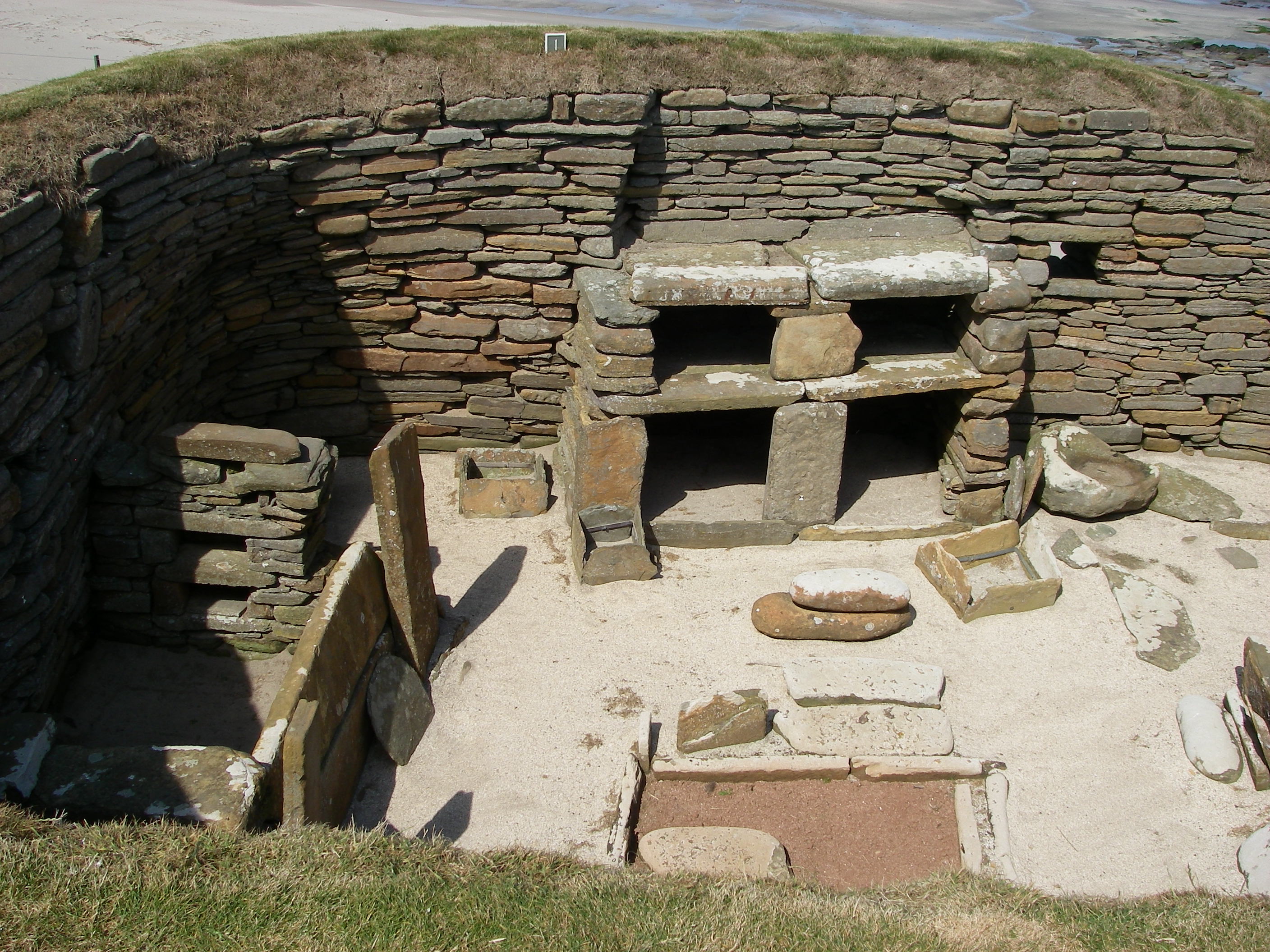
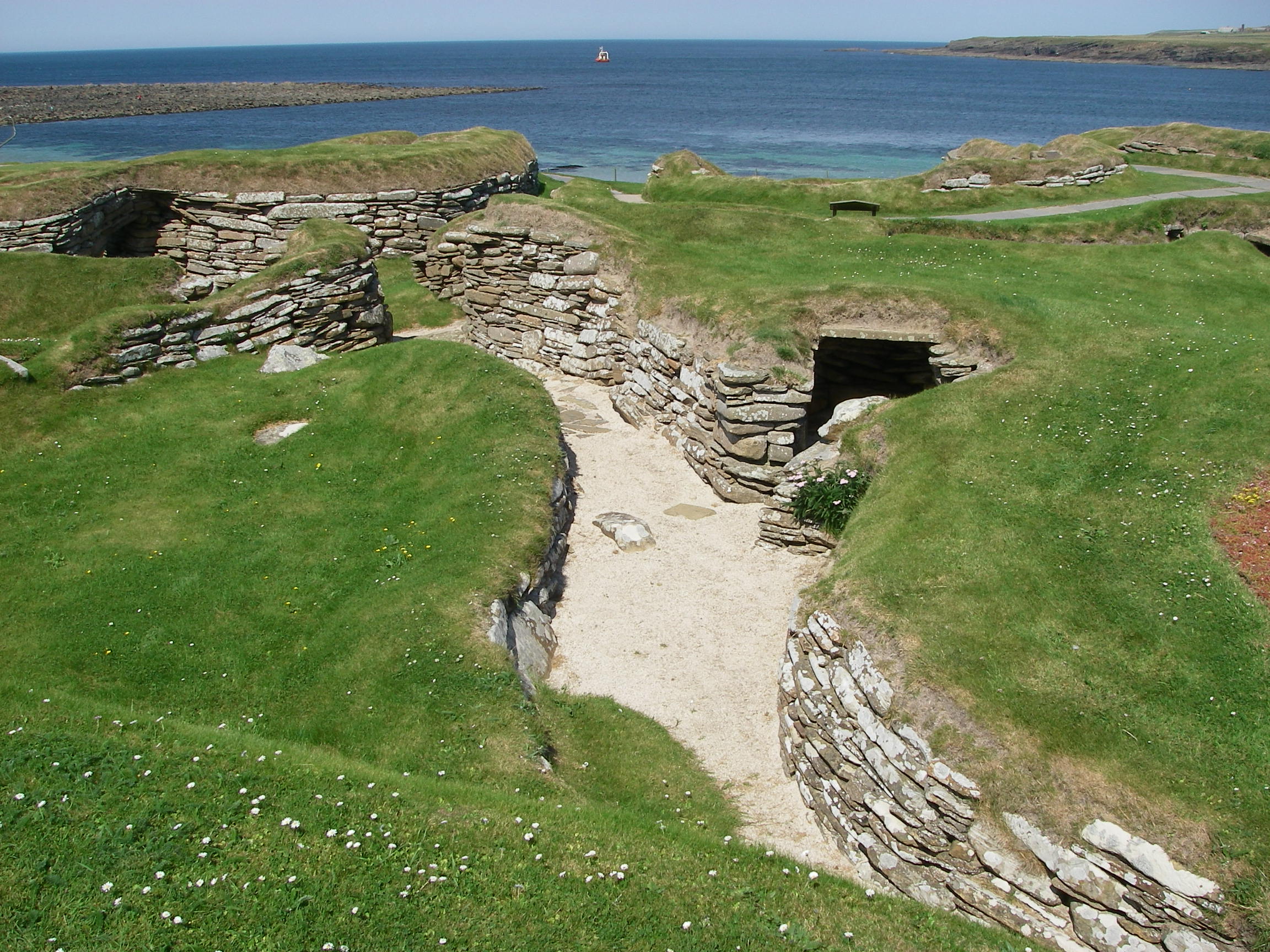
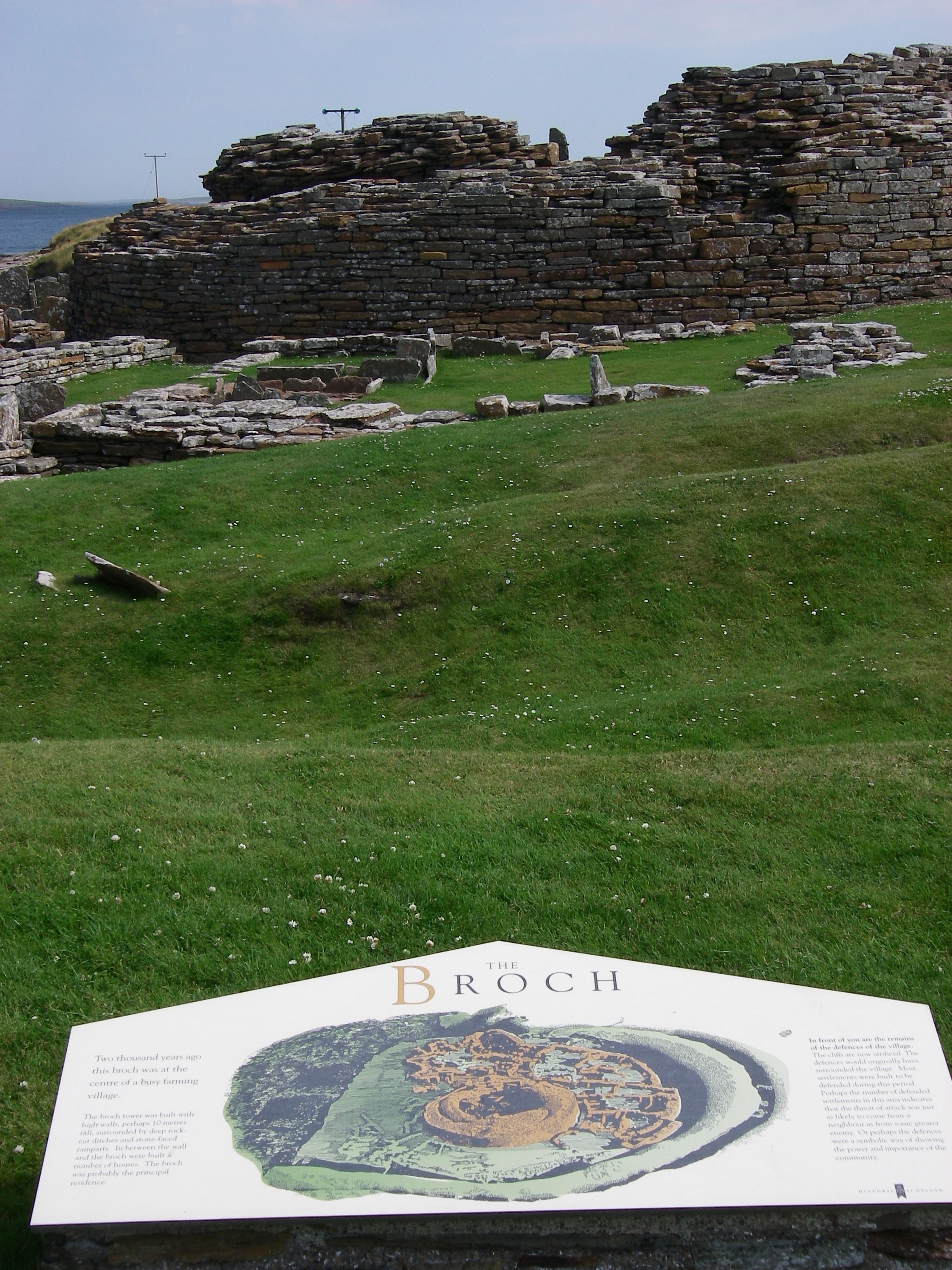
A house in Skara Brae, showing a bed on the left, and domestic stone furnitureSkara Brae – path through the villageThe BrochCauseway to the Norse village on Brough o’ BirsayThe Earl’s Palace in Kirkwall
The Orkneys are full of archaeological treasures; we hired a car to see some of them, and also to visit the main town, Kirkwall, and its cathedral and Earl’s Palace. Skara Brae, a complete neolithic village from 5,000 years ago, discovered by the seashore in the 1850s, was stunning; Maes Howe, a chambered tomb with a single entrance and a beehive roof inside was nearly as impressive; there were the extensive ruins of a fortified village at The Broch; and on the island of Brough we saw the foundations of a Norse village, 4,000 years younger than Scara Brae and containing the walls of a Christian church. We picked up Peter Finch at the airport on a miserable, grey day, which must have made him wonder why he had travelled so far north for a holiday.
Peter Finch
When the fog suddenly cleared, we found a bright day with a gentle westerly breeze, with the seas still low. We motored back out of Stromness the way we had come, and then up the west coast of the Orkney Mainland in a splendid and increasingly fast sail, heading for the island of Westray.
Stromness in the sun as we leftSunblock needed on the sail to WestrayThe climbable Old Man of Hoy, the pillar on the right – dwarfed by cliffs
The wind strengthened as we headed down the channel between the island and its smaller northern partner, Papa Westray.
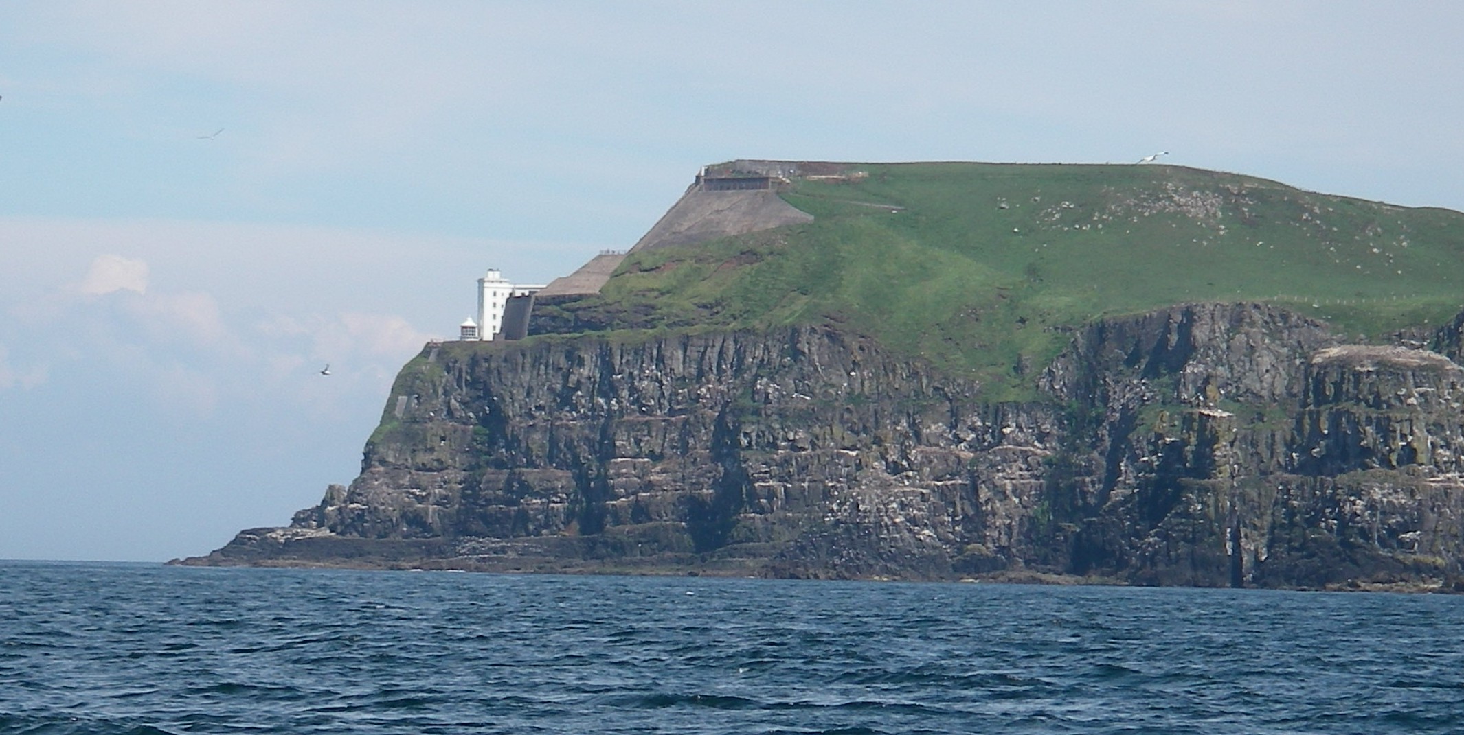
Noup Head, Westray
By the time we got to the harbour at Pierowall, the wind was gusting seven, and as we entered the little harbour I saw with some alarm that the only free berth was at the end, broadside on to the wind, requiring a sharp turn at the last minute. With the sails put away the wind was still trying to accelerate the boat, and we saw with relief the harbourmaster appear with an enormous fender, much bigger than ours. As we turned at right angles to come alongside he thrust the fender down just in time for the impact as the wind drove us sideways on with quite a force. We were very grateful to him as the boat ground to a halt.
Peter Finch and Tony at Pierowall
In the way of these things, almost as soon as we were secure alongside, the wind dropped and the sun came out.
There are a couple of restaurants nearby, one in walking distance and a second a mile or two away that offers to pick up customers and drive them back to their boat. We chose the one in walking distance. It was perfectly alright, but as with others we tried in the Orkneys, there didn’t seem to be much in the way of local seafood delicacies, despite the tourist advertising that show them as a main attraction.
From Pierowall, we headed across North Sound, past the cliffs of Red Head on Eday, and down Calf Sound, the narrow channel between Eday and the Calf of Eday.
Red Heady, Eday
The weather was still clear, with a westerly and southwesterly 3 and 4 until we went down Eday Sound, when the wind got up and the visibility dropped. We rounded into Sanday Sound between Sanday and Stronsay and piloted, helped by the chartplotter again, into Papa Sound. This is a channel between Stronsay and Papa Stronsay, where we found some good holding ground off the village of Whitehall, about half way between a breakwater and the ferry pier – another place where we’d have ignored the chart plotter if we had known what we found out later about Orkney chart accuracy. (See link above).
The weather closed in, so miserable and wet that we could not even get up the willpower to launch the dinghy to go ashore to find the village pub, which if it existed at all seemed to be a long walk away. We played cards and read for two days.
I was part way through reading my copy of the Penguin Classics translation of the Orkneyinga Saga, written in the 12th century when the Orkneys were still part of the Viking world. By some extraordinary coincidence, when I picked up the book again I found that I had just reached the story of the violent murder of Earl Rognvald, which took place on the little monastery island of Papa Stronsay, a stone’s throw from where we were moored. The name Papa derives from a word for priest, and there was a monastery on the island in the earl’s time.
Curiously, lying in my bunk in the forecabin reading this gruesome tale of Viking violence, I heard bells tolling across the water; this disturbing background sound to a tale of death and destruction on a monastery island was disturbing. Perhaps the violence of the tale was getting the better of my imagination, because there was no buoy nearby with a bell, or maybe it was some acoustic effect of the wind on the boat or the nearby pierhead.
Returning to the book, I read that Rognvald had left Kirkwall with a large band of men just before Christmas for Papa Stronsay to fetch malt for the Christmas ale. There was an ambush by Earl Thorfinn, who surrounded the house where they were staying, set fire to it, allowed the monks to leave, but not Rognvald’s men. Rognvald escaped and hid among the rocks by the sea, but was betrayed by the barking of his lap dog, and was killed, and so were all his men. Thorfinn then sailed back to Kirkwall pretending to be Rognvald, and used the surprise to take control. Rognvald’s body was carried to Westray for burial, which would have had to have been by boat, back the way we had just come.
Very early the next morning, around dawn, I heard the bells again. This time there was no mistaking them. Bells were tolling on Papa Stronsay. What on earth were they? Remote as we were in the northern Orkneys, there was a good mobile signal with access – very slowly – to the internet, and I discovered that in 1999, redemptorist monks had set up a new monastery on Papa Stronsay, where they perform the old liturgy, including the mass in Latin. So the wonderfully appropriate sound effects for my reading of the story of Rognvald’s murder on the monastery island were real.
On passage from Orkney to Peterhead, Orkneys in the background
The weather cleared as suddenly as it had closed in, and we headed off down the east side of the Orkneys on another brilliant day, with a bit of a swell and good force 4 to 5 to speed us along. Because there were a plane and a train for the crew to catch to catch in Edinburgh, we sailed straight for Peterhead, skipping Wick.
Peterhead Marina
The marina in Peterhead is very sheltered but I don’t recommend it as a stopover if you have the stamina to keep going, because it is a rather bleak oil service port overlooked by the grim prison named after the town. We were tired, arriving late at night and setting off the next evening for an overnight passage to Edinburgh.
We motored most of the way to Edinburgh, after dawn admiring the coastal scenery from close inshore. By the time we got to the Firth of Forth there was a glassy calm.
Approaching Edinburgh in a flat calm – Tony and Peter Finch
We moored in Granton Harbour, which is mostly drying mud but has a narrow deep water channel up to the yacht club pontoon.
There were three reasons for going to Edinburgh – to drop both crew off because they had to get home (to Surrey and Luxembourg), to visit the Edinburgh Festival with Georgia, who was working there for the Pleasance comedy theatre in her vacation from the university, and to wait for Jamie, the crew for the next leg south.
Peter Finch on the bus from GrantonGeorgia’s uniform at the Pleasance – nothing to do with my boat!
There’s an excellent bus service to the centre of Edinburgh, where we met Georgia and gathered lots of tips for shows. Tony and Peter F saw several before leaving, and I spent a whole week catching up on comedy, music, theatre and the Tattoo from my cheap floating accommodation, a bargain compared with the cost of a room in the festival weeks.
Cousins Georgia and Jamie at the FestivalJamie, Granton Harbour with the tide in
Almost dragging ourselves away from the Festival, we eventually set off down the Firth of Forth for Eyemouth, a little fishing village just on the Scottish side of the border with England.
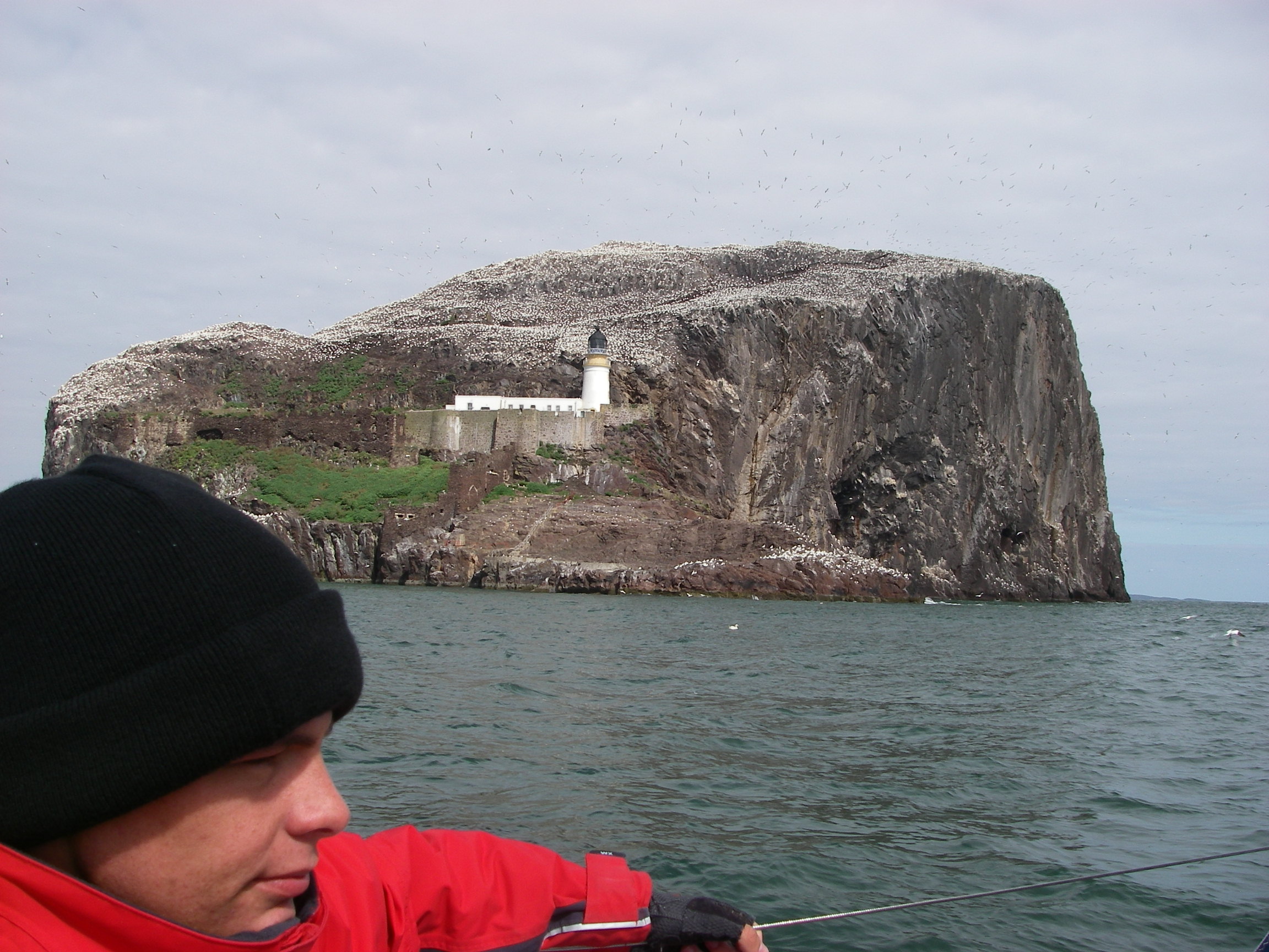
Bass Rock
We passed inside Bass Rock, which we could smell several miles away, because it is encrusted in droppings from the tens of thousands of gannets that make their homes there, one of the biggest populations of the birds anywhere.
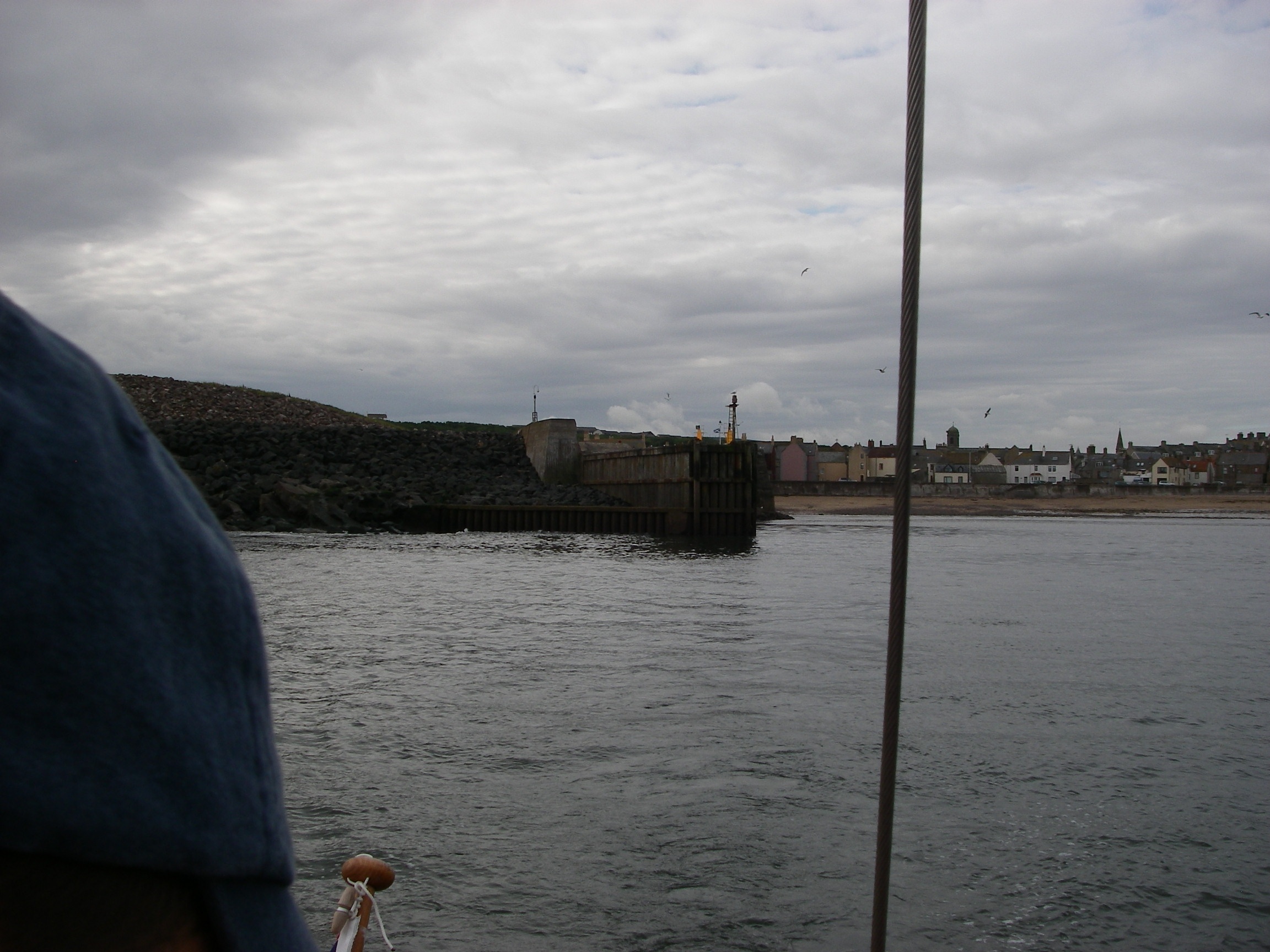
Finding Eyemouth on the rocky coast was not as straightforward as I expected, because the entrance was hard to see from a distance, and the chartplotter was helpful. There is a line of rocks on the approach and the entrance to the harbour itself does not open up until well inshore, quite near to the beach. We were too busy trying to find our way in to bother with photos, but here is a series taken on the way out, but reversed. Click to see full screen.
The offlying reefsThe entrance still obscuredJust opening upThe entrance open, and the harbour visibleInside the harbour
A delightful place once in: a prosperous fishing community (unusual for such a small harbour) with some obvious new investment, a fishing boat builder, some nice pubs and restaurants and good shops.
Pepper tucked in behind the junkThe junk
There’s also a genuine teak-built chinese junk, which seems to belong to the local museum, but there had not at that time been any attempt to open it to the public. All in all, a good stopover on passage except in strong onshore winds, with some very interesting pilotage to add a bit of excitement.
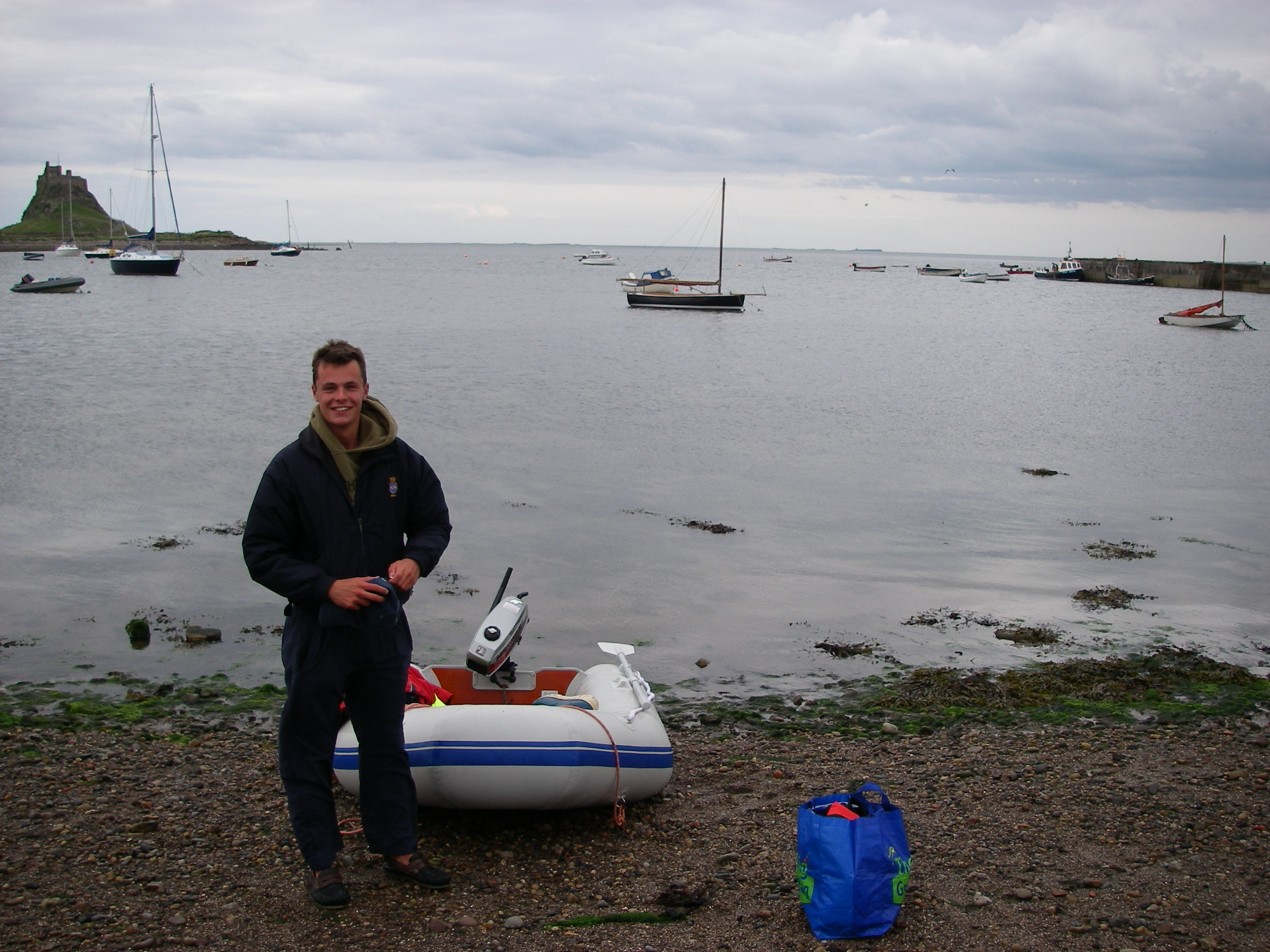
From Eyemouth, Jamie and I headed South for Holy Island, known when it was an important religious centre as Lindisfarne. The settlement was founded by St Aidan, an Irish monk born in 651 who came from St Columba’s monastery on Iona, next to Mull.
Leading marks, Holy Island
There is a pair of enormous leading marks on the way in, followed by a sharp turn to follow the channel over the sand bar using other marks on the island itself.
Pepper in the anchorage, Holy Island
The anchorage looks exposed to the south east, but is actually very well protected by the shallow bar, feeling more uncomfortable when the tide is in and the wind is from the land, because of the two or three mile fetch. The tide runs strongly through the anchorage. The bay near the village dries completely. Even getting out in the dinghy at low tide is a bit of a challenge.
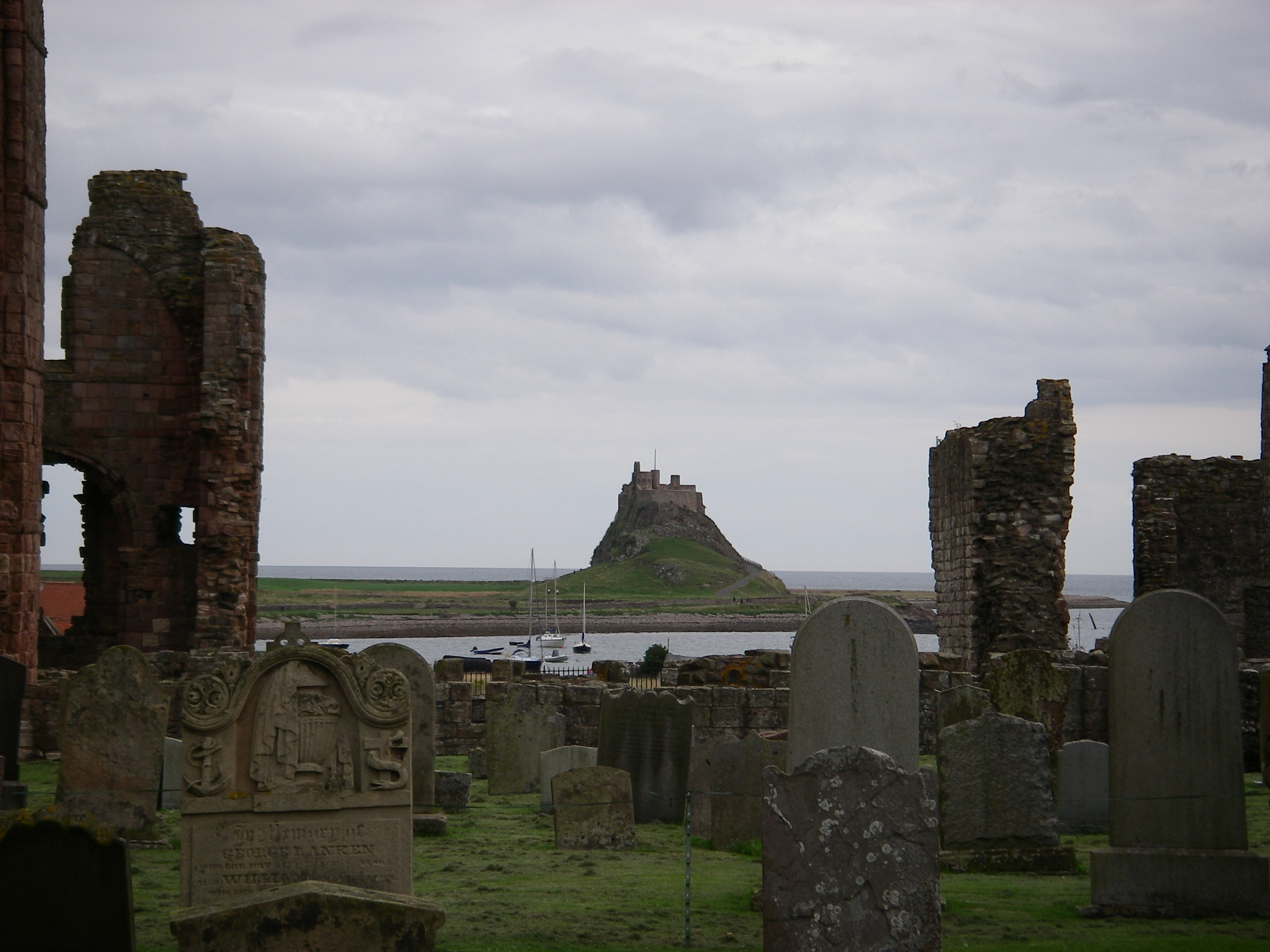
Landing on Holy IslandLindisfarne Castle from the ruins of the abbey.
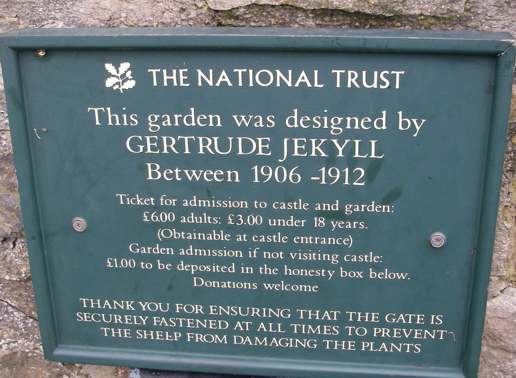
The castle, which is dramatic, is largely a Victorian conconction by Lutyens, with a delightful walled garden by his friend Gertrude Jekyll on a hill opposite, with a view back to the walls. The castle and the village are very crowded in summer when the tide is out and the causeway to the mainlaind is open to traffic, but they magically clear as the tide rises.
View from the garden
It was overcast and chilly while we were there but that did not stop Jamie braving the water to get some exercise.
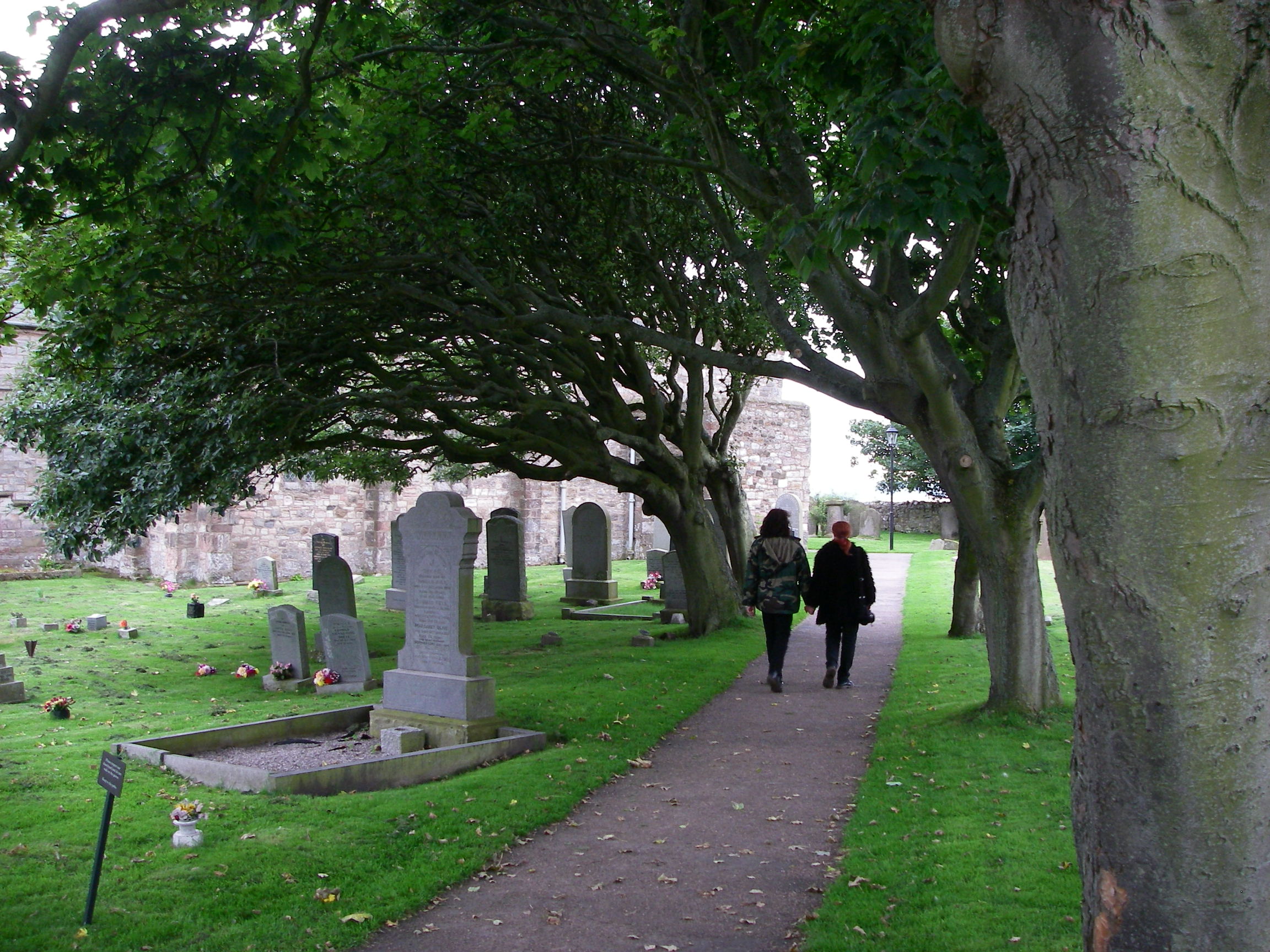
Jamie after a cold plungeThe churchyard of St Mary the Virgin
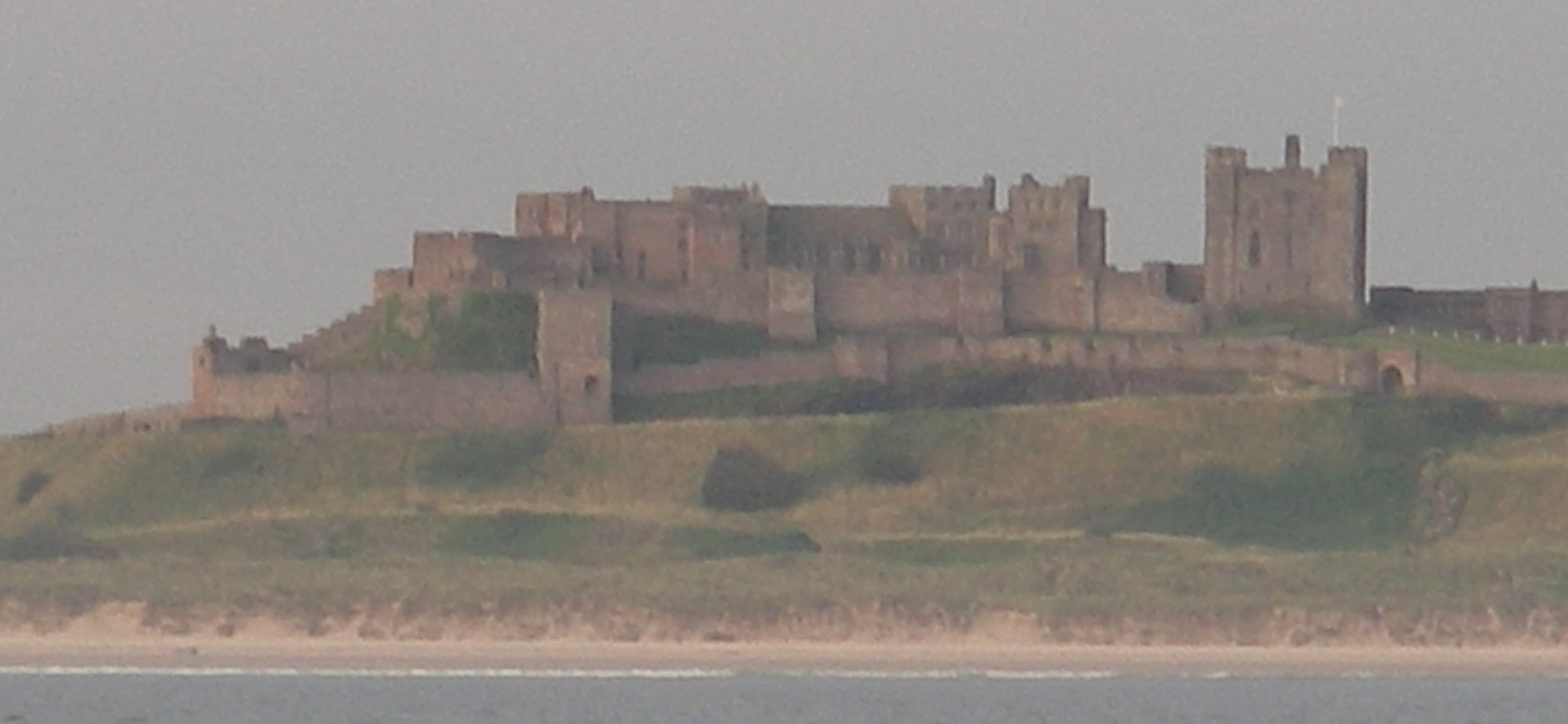
Holy Island was another place we had to drag ourselves away from, for very different reasons from Edinburgh. We headed for Blyth, to drop Jamie off because his week was up, but because it was a settled day we were able to stop for lunch anchored at the Farne Islands, now very much protected for their wildlife. Further down the coast we passed the magnificent Bambergh Castle.
Bambergh Castle
Blyth itself, a coal port, was a depressed looking town, though it had a hospitable yacht club in an old wooden lightship in the marina.
entrance to Blyth
I stayed long enough to provision the boat and help Jamie find the transport links, and then set off south on my own for Whitby on a day with light winds but some ferocious showers.
I arrived in a cloudburst. The approach requires care because the flood tide races over a reef which extends to sea just south of the harbour and is visible only from the overfalls; it is easy to be drawn towards it. Once in, the bad visibility made it difficult to see the way up the harbour, where I pottered around waiting for the bridge to open to let me through to the marina in the inner harbour. Georgia arrived by train to Scarborough and then a bus to Whitby.
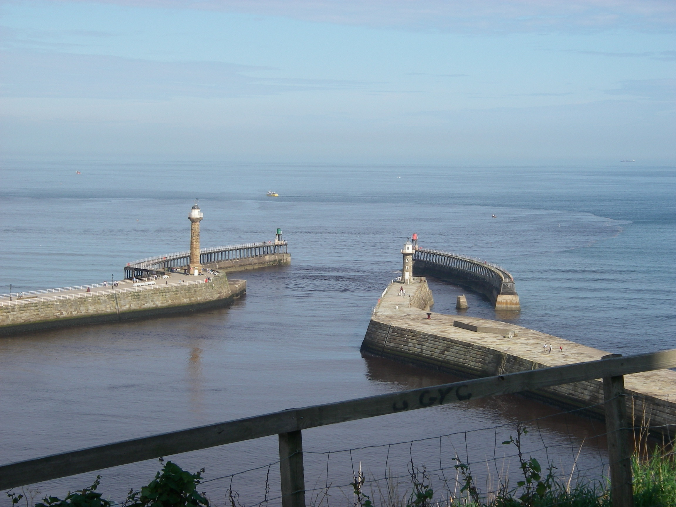
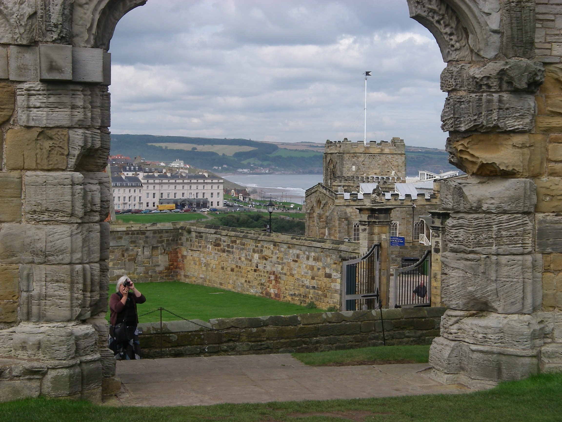
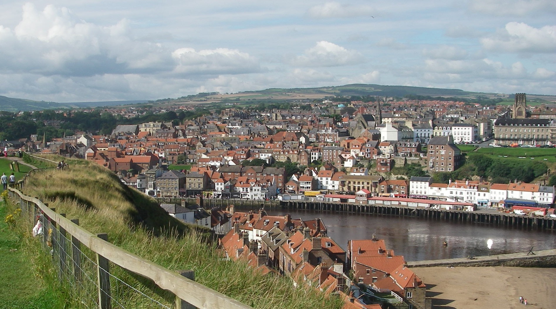
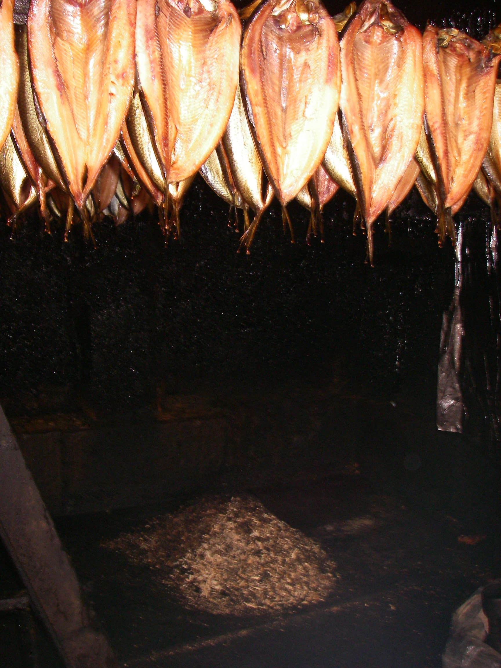
The entrance to Whitby HarbourWhitby from the AbbeyThe harbourThe square rigger Grand TurkFortune’s Whitby kippers
There was much to see, including the Abbey and the old parts of town, fish restaurants, Fortune’s kipper smokery and a railway with steam trains. When I arrived, the inner harbour was filled with the sound of a folk band, part of an annual Whitby festival.
Georgia and I left early on a clear, calm morning for the Humber, catching the earliest morning opening of the road bridge.
Whitby, waiting for the bridge just after dawn.Leaving Whitby
We sailed past Scarborough and Flamborough Head in clear weather with a pleasant breeze, arriving at the Humber Estuary where we checked in with the vessel traffic scheme ahead of our crossing to Grimsby. The engine chose that moment to overheat, probably because we were going over a bank in a strong tide, with sand churning to the surface of the water and blocking the water pump.
Flamborough Head
We switched off, but with a line of ships entering the Humber we could not cross without the engine. After waiting for it to cool we risked switching on again, got radio permission to cross, then once over we switched off and sailed towards the entrance to Grimsby’s old fish docks, now deserted except for a marina and a handful of working boats. With the wind dropping, a RoRo ship heading for the commercial dock entrance a few hundred metres west of the fish docks crept perilously close, so in the gathering dusk we risked the engine again and scooted into the harbour and the semi-derelict inner dock, with its marina. After berthing temporarily to ask where to stay, there was another problem: the starter motor seized. Thank heavens it had waited until we were in. We had to have it replaced before we could leave again as well, of course, as clearing the mess out of the engine water pump.
Georgia at Grimsby fish dock.
The grim-looking dock sheltered an excellent and very friendly yacht club which happened to be holding a dinner to which we were warmly invited. Meanwhile the weather was rapidly deteriorating and it looked as if it was going to be bad for days, so I decided to leave the boat there and go back to London with Georgia.
Orford Ness
I returned a fortnight later with Tony, and we set off down the Humber heading for Lowestoft – or rather Wells Next the Sea, where I had booked a rare deep water berth alongside a barge in the shallow harbour. When I rang him a few days before, the harbourmaster offered to come out to meet us at the bar. But the wind turned into the North and went up to a 5 or 6 as we approached, which makes the entrance to Wells a risky for a newcomer, so we headed straight for Lowestoft and into the yacht club basin, where we dined at the club.
Fishing boat off the River Deben
Next day we set off past the familiar Suffolk coast, staying close inshore at Southwold, Aldburgh, Orfordness and Woodbridge Haven, the estuary of the River Deben, then crossing the shipping lane at Harwich and over to the Pye End buoy, marking the start of the channel up to the Walton Backwaters. We left in 2007 from Shotley in Suffolk, on the River Stour, a few miles north west of Walton, but I decided to winter at Titchmarsh Marina at Walton on the Naze in Essex, partly – it has to be said – because it is quite a lot cheaper.
Walton just visible low on the horizonPeter in Titchmarsh Marina…Tony in Titchmarsh Marina
That was the end of a round Britain cruise that beat no records for speed or adventure but took us to a large number of fascinating places, and gave us a new perspective on our island. It went so well that Tony and I decided to go into partnership on a bigger boat, Spring Fever, so Pepper of Brixham went on the market that autumn.
Souvenir from Islay
But before we got round to that, there was some celebrating to be done, helped by the bottle of Islay malt whisky we brought back from Scotland..