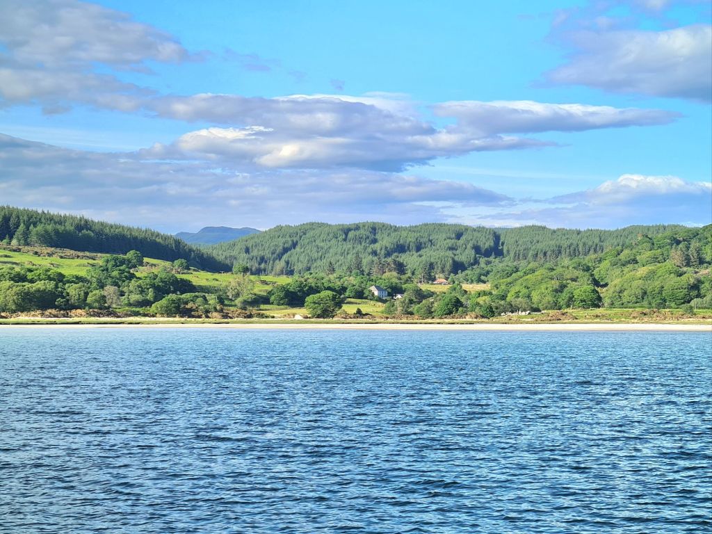
Pleased to say I won Cruising Association/Practical Boat Owner prize for the best short photographic blog in 2024. The blog was about our cruise from Cowes to Oban via the Orkney Islands.
A three page extract appears in this month’s Cruising magazine, covering the passages from Pin Mill near Ipswich as far as Wick. Cruising is published quarterly for the CA’s 6,000 members.
The very welcome prize is a year’s subscription to PBO, the magazine that gives less space to test sails of new yachts that no-one I know can afford (I’m referring to Yachting Monthly) and a lot more space to useful information about maintenance and DIY problem solving.
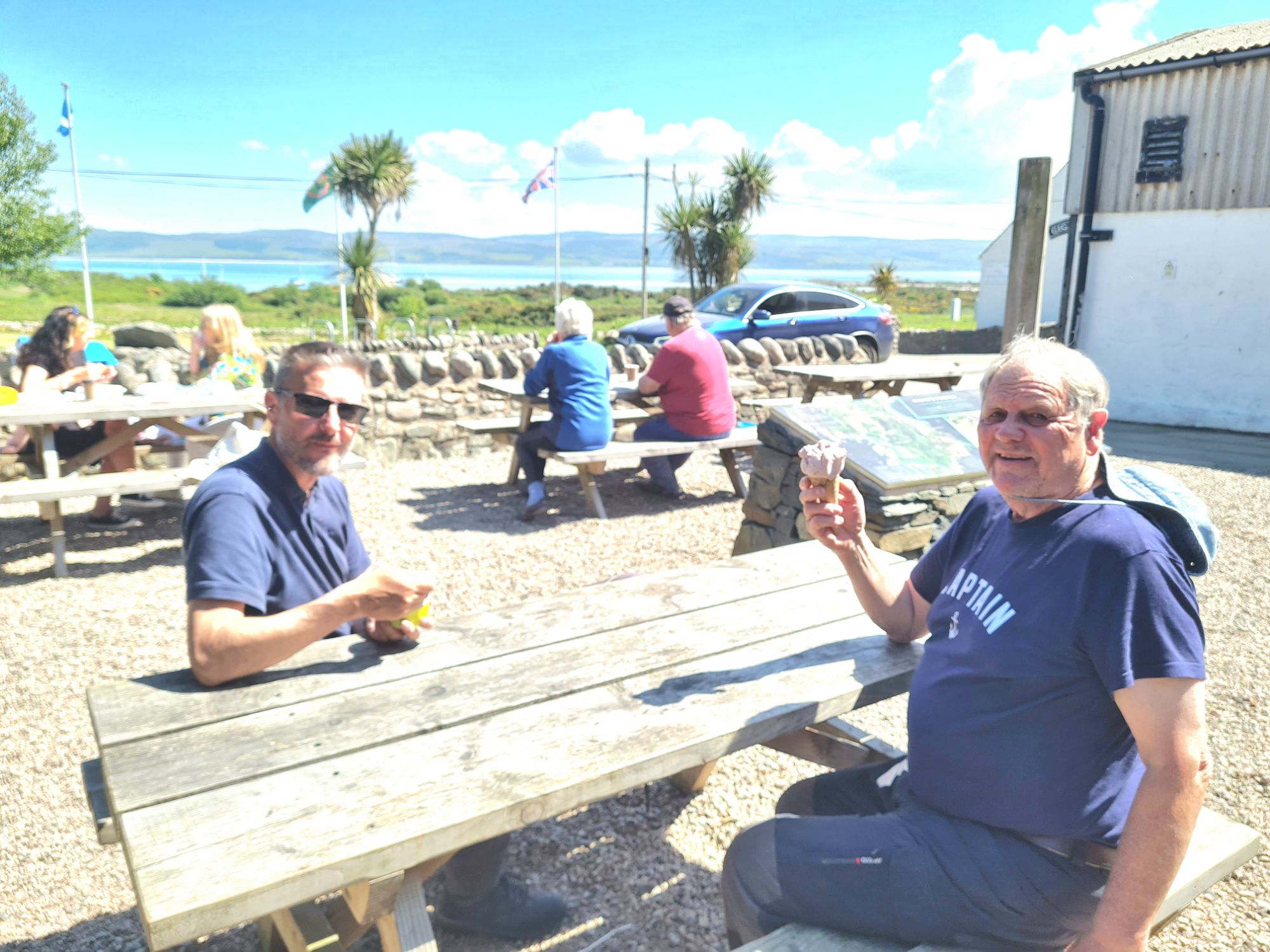
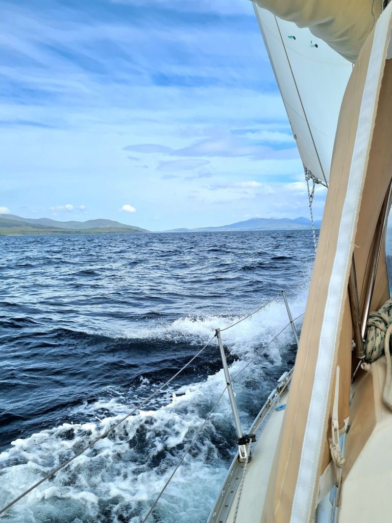
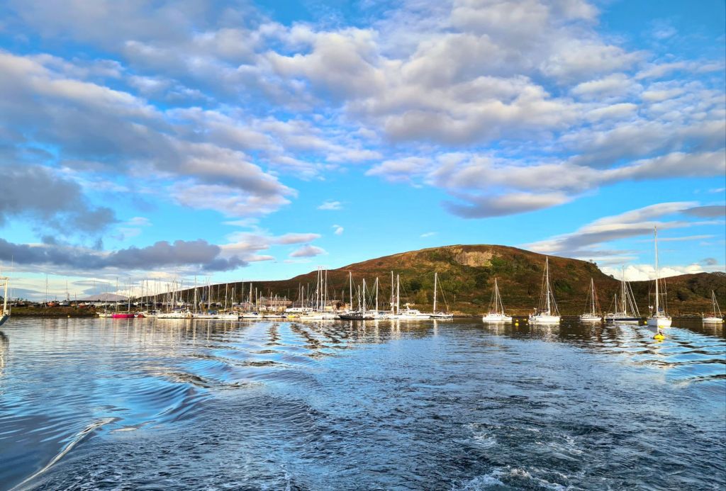
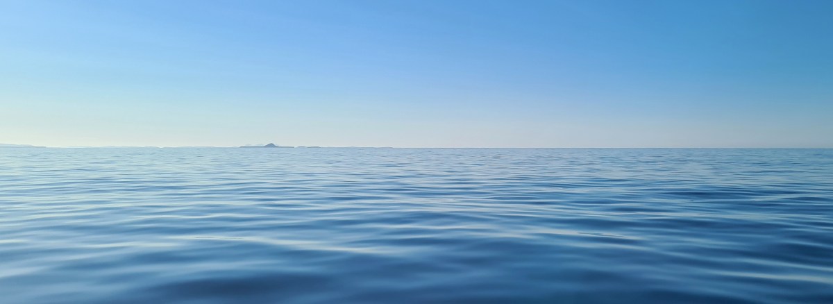
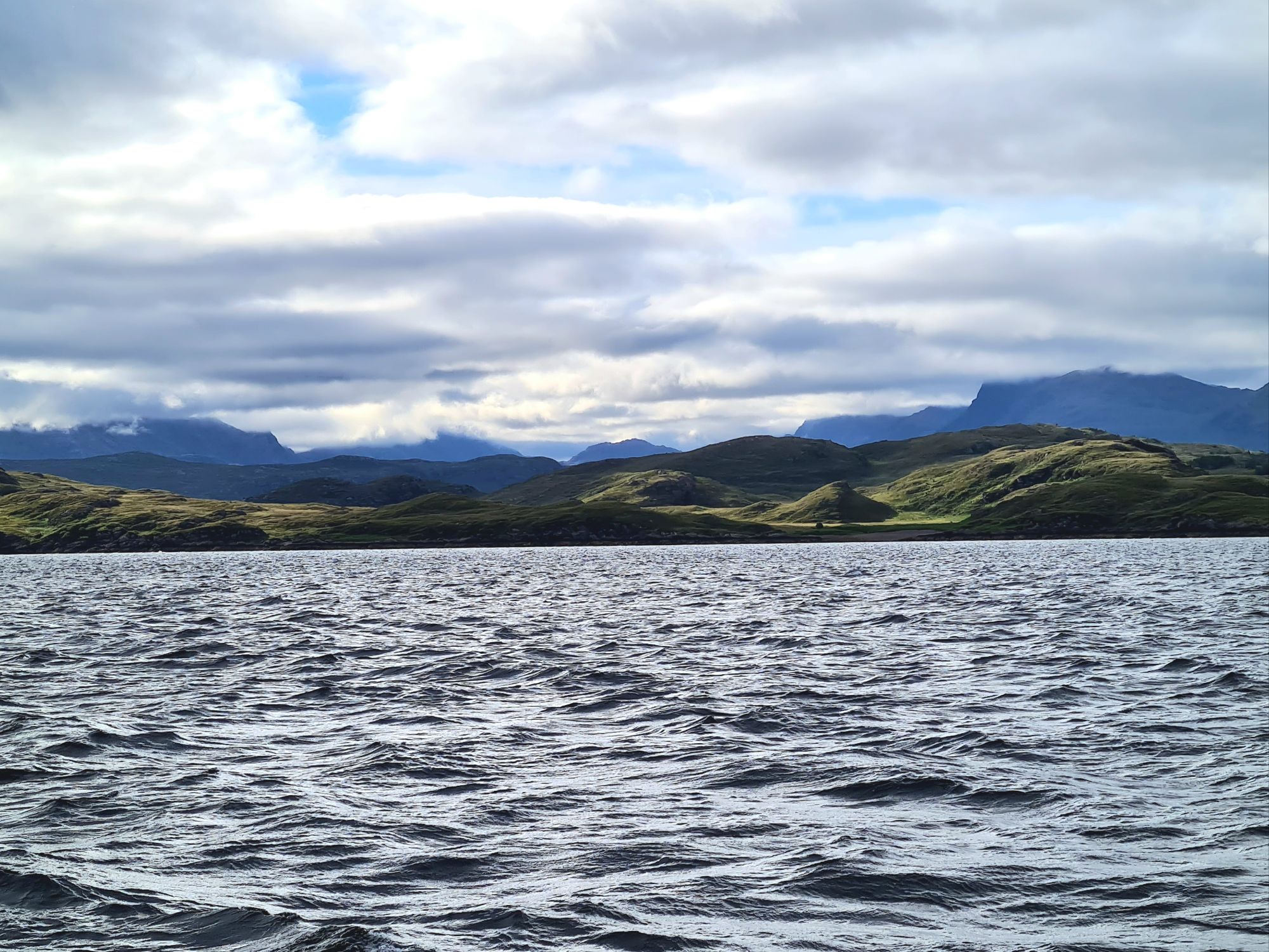
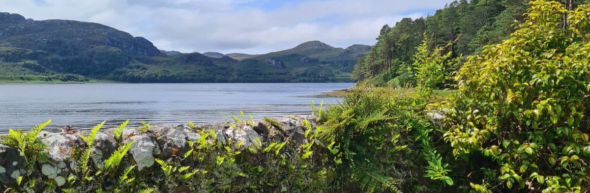
The West of Scotland had the best weather in the UK in May, for the whole 18 days we were there. Bright sunshine, blue sea and mainly light north and east winds were ideal for checking out new anchorages and visiting old favourites, several of which we’d have avoided in any other kind of weather.
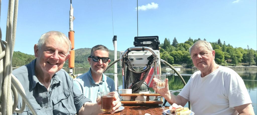
Not the deep south but Loch Moidart – another sunny meal in the cockpit.
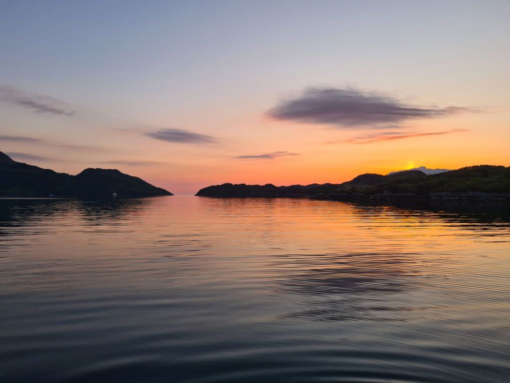
After fitting out for three days in Kerrera Marina, we spent the first night in Loch Droma Buidhe, near the entrance to Loch Sunart.
Sunset in Loch Droma Buidhe, protected by the narrow entrance in the distance.
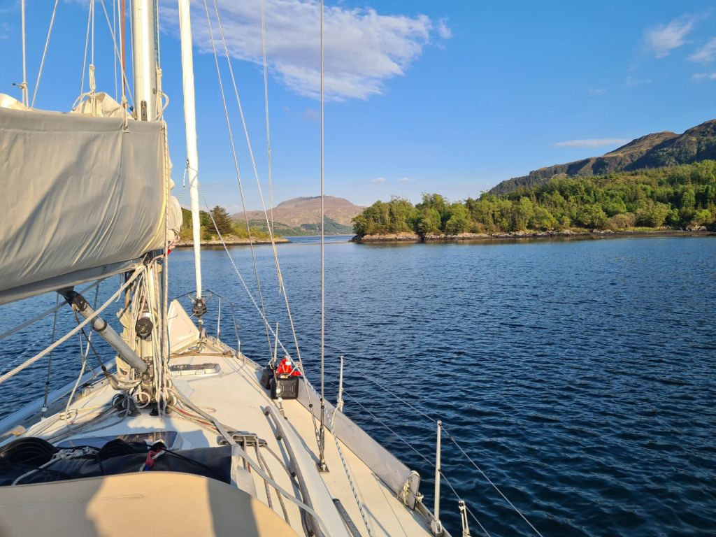
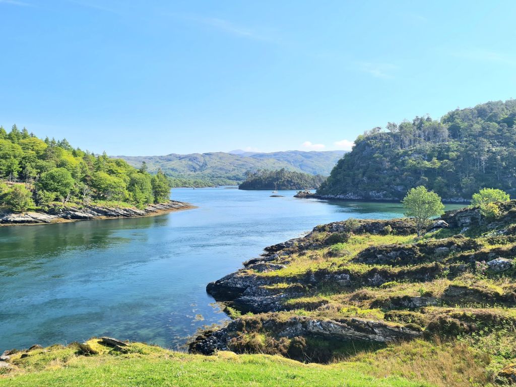
The next day we explored Loch Sunart, picking up a buoy at Salen for a lunch stop, and then to Loch Teacuis for the night, which branches off Sunart. Teacuis has a difficult, rocky entrance but opens up into a beautiful sheltered space, surrounded by woods and hills. It is close to Droma Buidhe
Anchored in Loch Teacuisfor the night
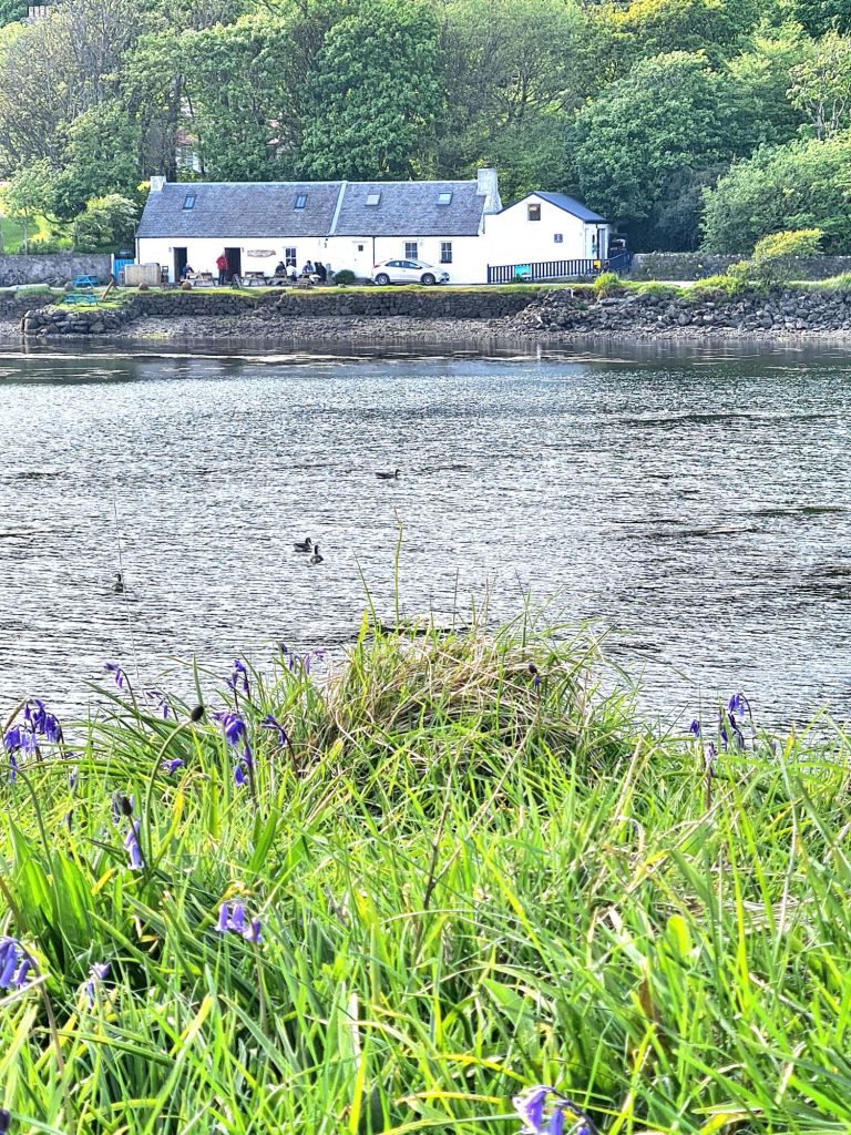
Next stop was the lovely little island of Canna in the Sea of the Hebrides, timed for the Canna Cafe. Last year we arrived on a Tuesday and found that was closing day. (This year, Tuesday’s a pizza night). There’s a delicious and inventive menu, featuring seaweeds in all sorts of combinations with fish, vegetables and meat. The chef’s Canna Cookbook is a big seller which recently we saw displayed prominently in Waterstones, but we took home a copy from the café and plan to try out its advice on cooking seaweeds.
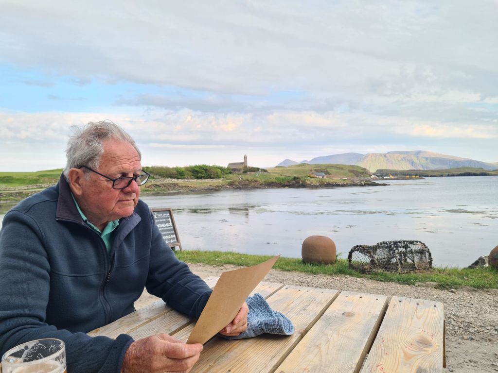
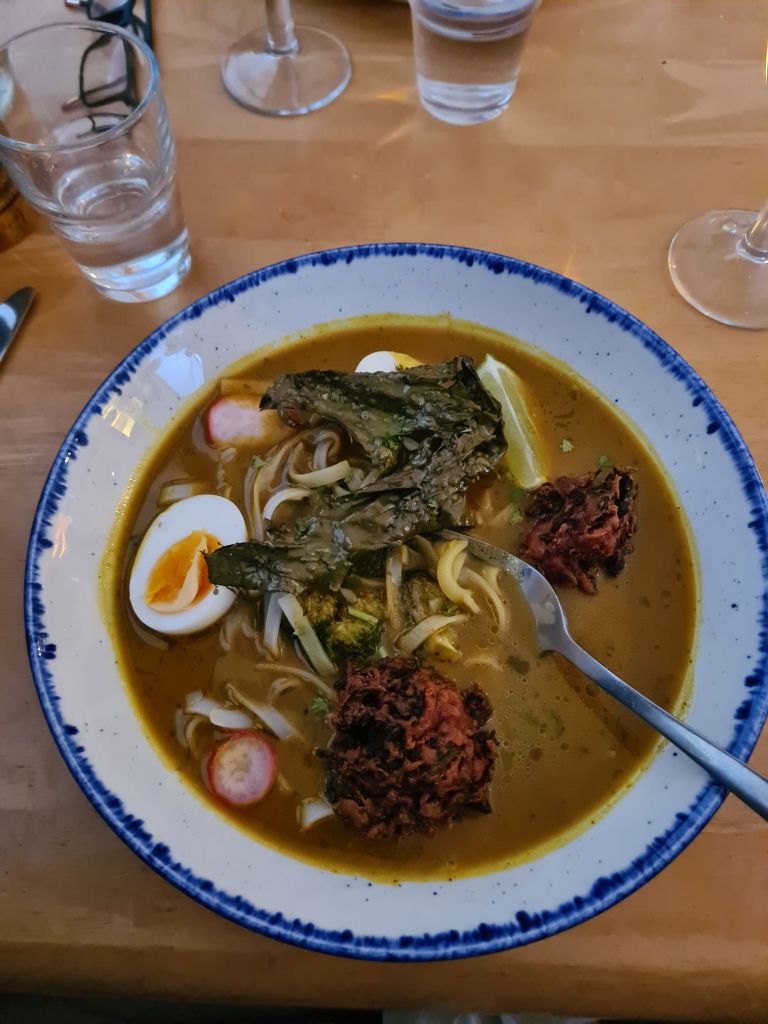
Tony studiesthe Canna menuMy spicey egg laksa with dulse (a seaweed) croquettes and kelp. The starter was fritters of kelp with another plant called sea spaghetti (because that’s what it looks like). Canna Cafe
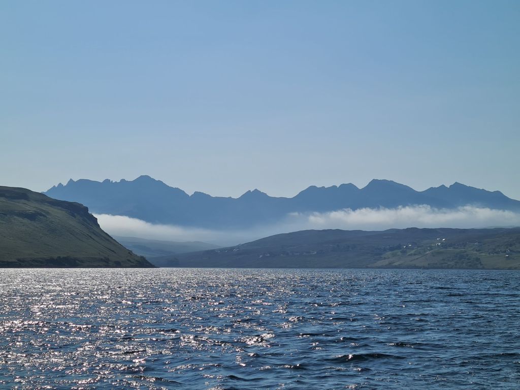
From Canna we made a lunch stop in the spectacular Loch Scavaig, which is surrounded on three sides by the dramatic Cuillins of Skye, mountains of modest height but tough reputation, which rise from sea level. The Cuillins include 11 of the 282 Munros, hills over 3,000 feet, which keen walkers in Scotland spend many years ticking off on their maps. The Pinnacle in the Cuillins is the only Munro where ropes have to be used.
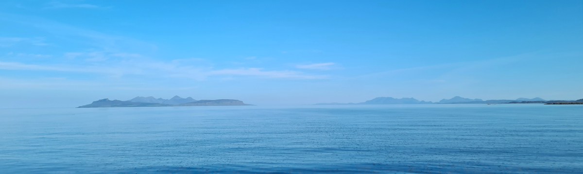
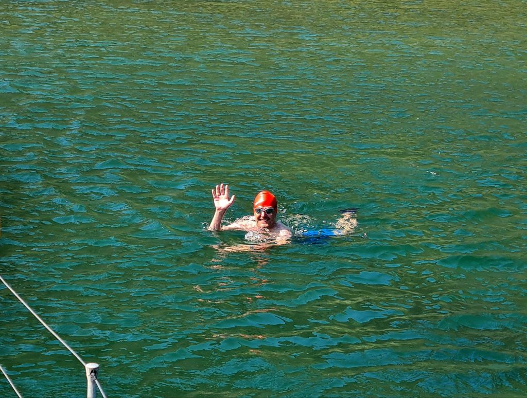
View from the saloon in Loch ScavaigMichael went for a swim in the sheltered loch Scavaig, though at 12 degrees it wasn’t for me.
We spent the night in Loch Harport, after beating 20 miles up the coast in an unexpected Force 6, which was dropping off the Cuillins on an evening that was probably much calmer everywhere else. Loch Harport was serene as soon as we entered. It is home to the Talisker distillery.
The Cuillins in early morning as we left Loch Harport
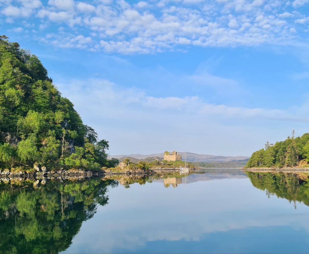
Next to see was the beautiful Loch Moidart on the mainland, last visited by us in 2013 and inaccessible if there is strong onshore wind or swell.
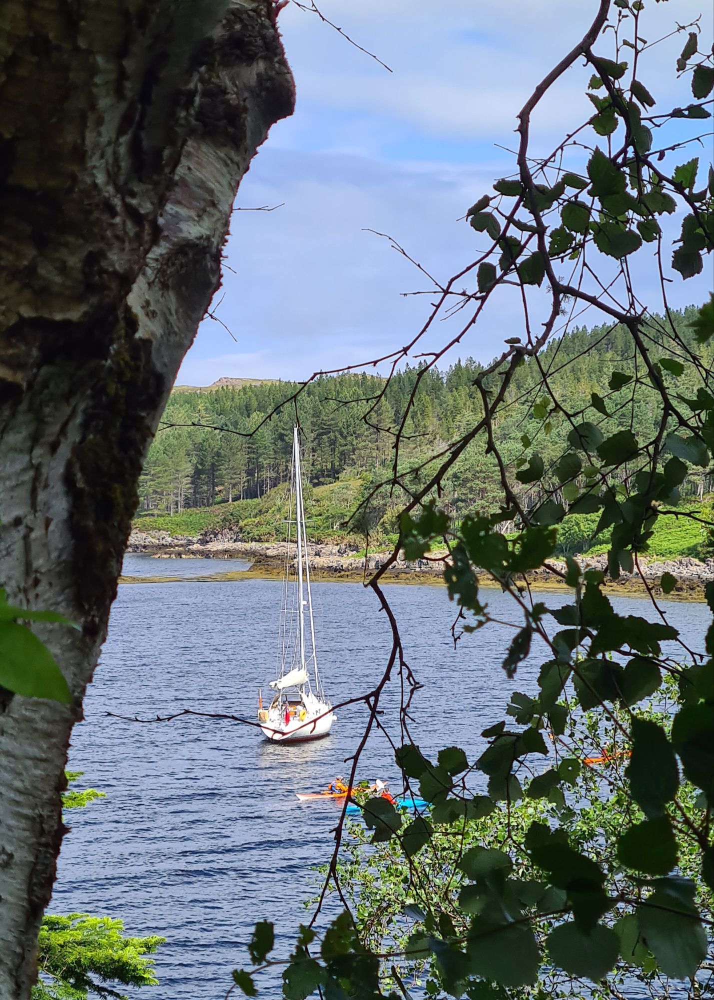
Spring Fever is anchoredin the distance, just in front of the small islandin Loch MoidartThe castle, which is connected to the land by a sandy causeway carpeted in samphireThe castle seen from Spring FeverSpring Fever at anchor in Loch Moidart
A local sailor said Richard Branson’s sister owned Shona, the largest island in the loch, which has a mansion with guest houses scattered around it in the woods and by the shore.
After a week away we spent the night at Tobermory for fuel, water, groceries and a shower, and then enjoyed a gentle day-long motorsail in light winds round the west of Mull. We went past Fingal’s Cave on Staffa, through the Sound of Iona, passing the Abbey. For photos of both see last year’s cruise book.
Next stop was Loch Ardalanish, on the south coast of Mull, which we would never have attempted without the excellent Antares large scale modern charts. They are an absolute essential for any Scottish cruise, and we first used them in 2012.
Just like off the Cuillins, the wind suddenly rose to Force 6 in the lee of the hills on our way along the coast, so we were nervous as we battled through the narrow rocky entrance – only to find a magical calm as the lay of the land entirely protected the little bay.
There’s room for very few yachts to anchor comfortably but luckily we were alone. There’s also a second even smaller branch of the loch right next door, where another yacht spent the night.
Anchored in Loch Ardalanish
Next day we tried another complicated rocky entrance, using Antares, when we motored into Inner Loch Tarbert, which took us to the centre of the island of Jura.
Loch Tarbert anchorage
After a good night’s sleep we went down the Sound of Islay with the tide, then inshore of the Ardmore islands, carefully following the Antares chart. The short cut looks too difficult on any other chart. That night was the only uncomfortable one, spent on a buoy outside Ardbeg distillery on Islay, where a nasty little chop made the boat rattle and squeak all night. (We skipped the distillery visit).
With the wind in the north, veering east, we headed for Loch Stornoway, on the mainland just north of Gigha, because it is perfectly sheltered in these conditions (but badly exposed in southerlies). The Admiralty chart labels the loch as dangerous because of the extensive reefs in the entrance, but Antares charts show a simple way through, and once inside the loch it is broad, shallow and sandy.
Looking back at the entrance reefs from Loch Stornoway
We were so relaxed on a sunny evening that we just put out the usual 4 times depth of the chain, and had a harsh lesson as a result: there was a sudden short blast of wind from the east at 1am that ripped the anchor out of the sand. We should have been more alert to that risk after the two previous unexpected strong winds, neither of which had lasted more than an hour.
I’ve never seen an anchor drag so far, so fast and – luckily – so noisily. We doubled the chain length and went back to bed, checking regularly for the rest of the night. But Spring Fever did not budge another inch.
The wide, sandy bay of Loch Stornoway
It’s a warning for the future: even in benign conditions, Scotland can produce blasts of wind. It has prompted us to extend our ground tackle before we sail again. (We had 30 metres of chain plus 50 metres of rope, but have since doubled the rope length. A racing hull cannot take the weight of chain in the bows that many Scottish cruising boats have).
Finally, from Loch Stornoway we went to the delightful island of Gigha, with its temperate climate warmed by the Gulf Stream.
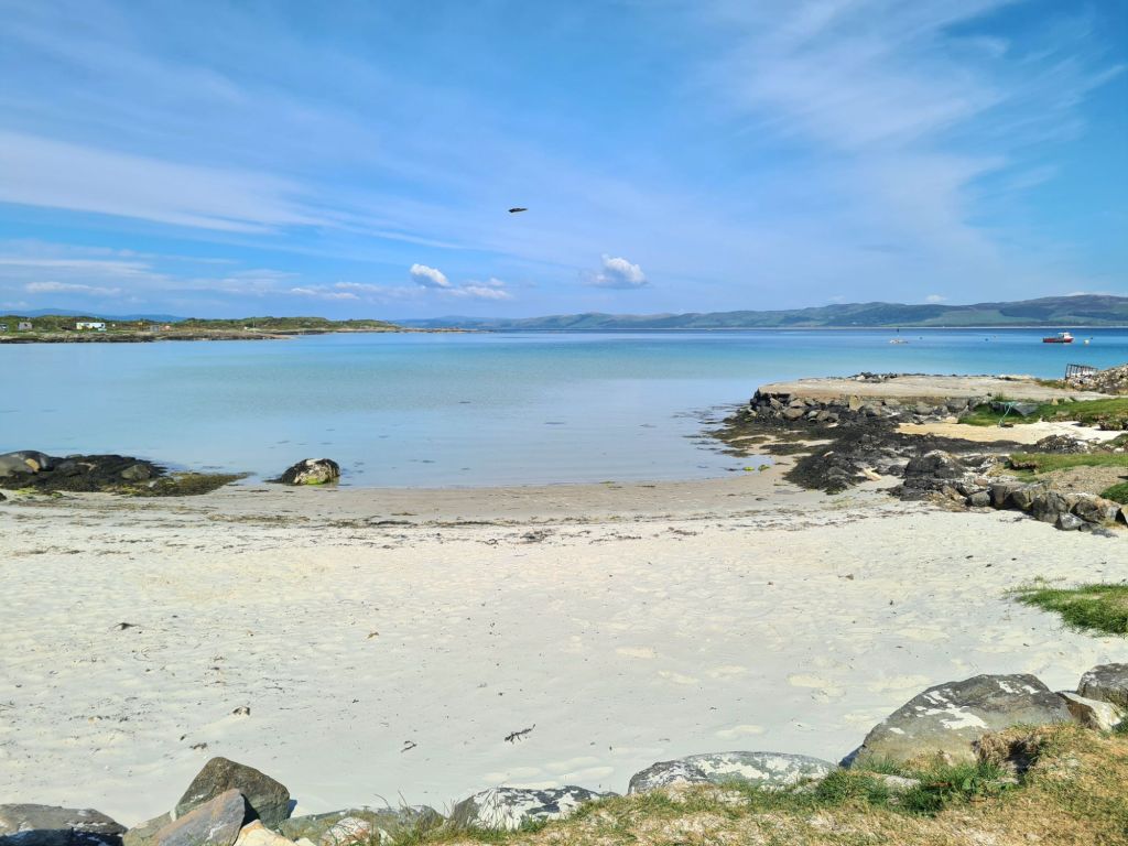
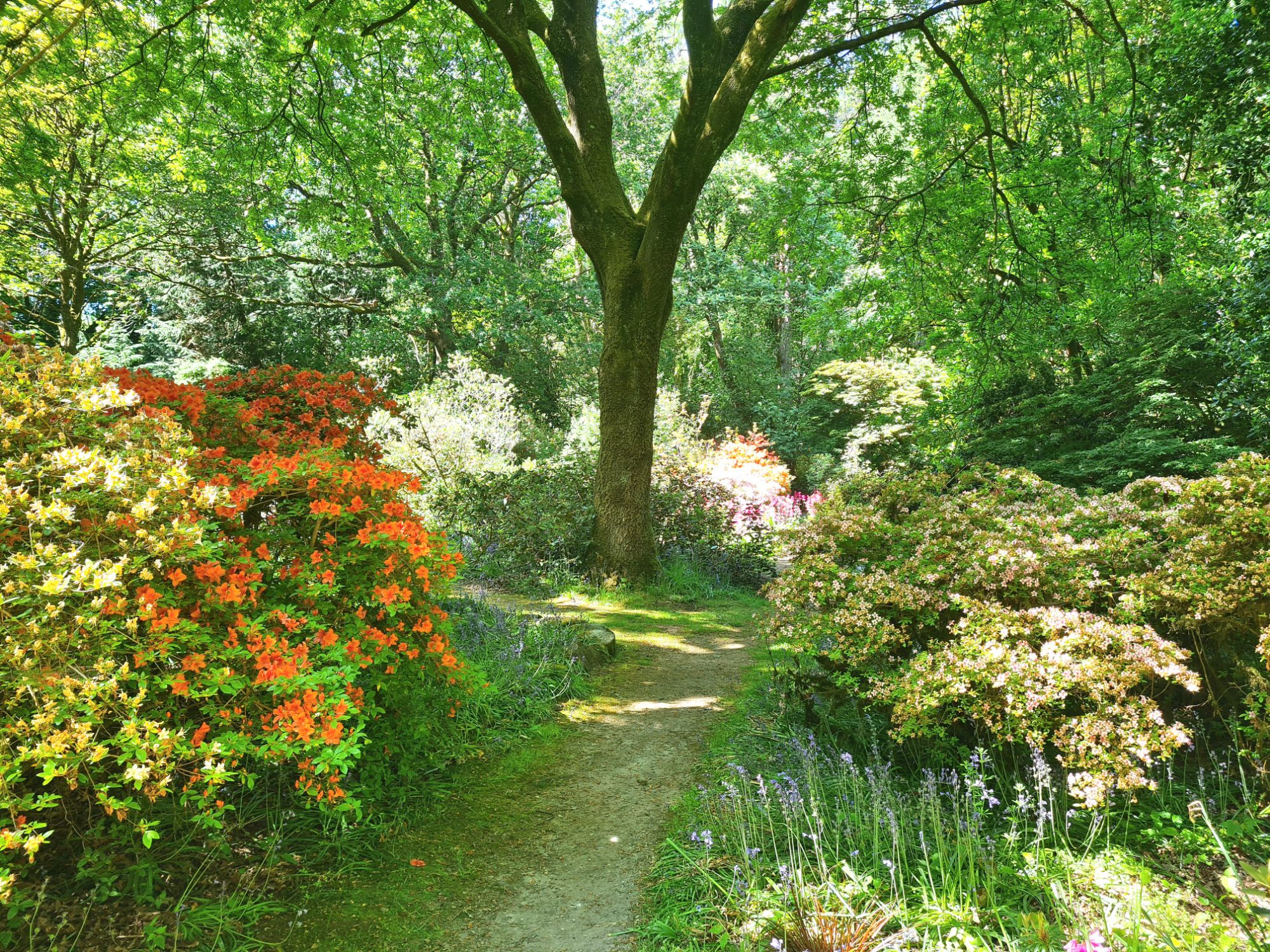
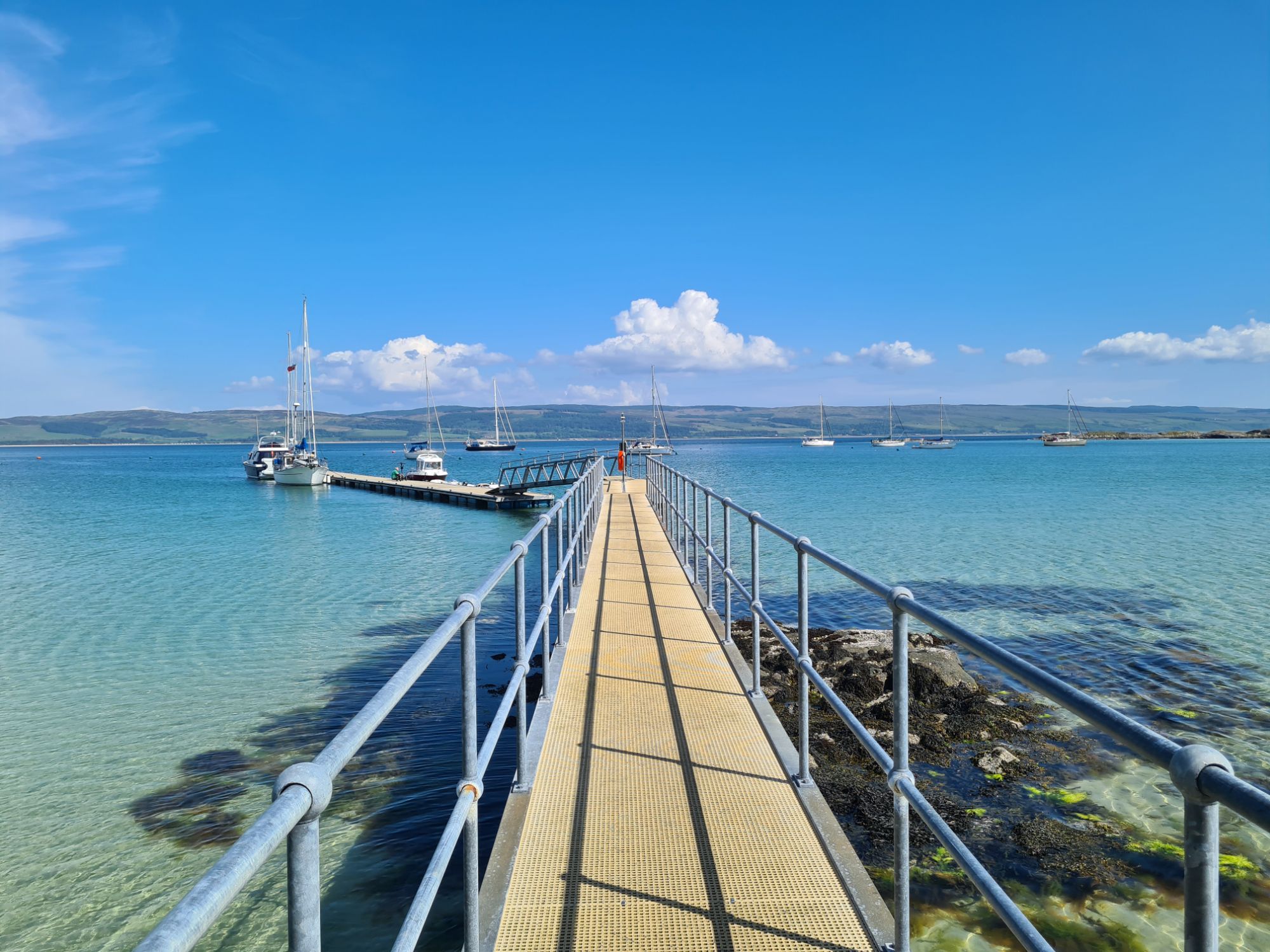
White sand on Gigha….…the lovely Achamore Gardens, with restoration now well under way...…a sheltered Gigha mooring in everything but easterlies….…and lunch at the Gighacafe. There’s also a well-regarded restaurant, but it isn’t open early in the week.
We didn’t stay the night at Gigha, deciding instead to go back to Loch Stornoway for its perfect shelter from the forecast northerly to easterly breeze and also to be 8 miles closer to home for the next day. Needless to say, we put out a lot more chain.
In the Sound of Jura
We motor sailed up the Sound of Jura, through the Dorus Mor tidal gate against a fading neap ebb tide and then north up the Sound of Luing – ferociously rough places in bad weather because of their fierce tides, but benign that day.
We gave the infamous Corryvreckan between Jura and Scarba a wide berth, though at neap tides its famous whirlpool and standing waves would be absent, and I suppose we could have gone through if we had really wanted to.
We were back at base on Kerrera by 7pm, ready to pack up and go home. The weather broke the day after we left!
After planning a two-year round Britain cruise, we’ve just decided to make it three.
The more we plan, the more we find there is to see, so why rush back 700 miles to Cowes this year when we don’t have to? We’ll spend the extra time seeing more of Scotland, and head back next year.
Kerrera Marina, across the bay from Oban, will remain our base.
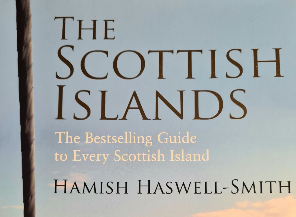
The days are longer, the pilot books have been taken off the shelf, and it’s time to think of this year’s cruise. As a first step in planning, there is nothing better to browse than Hamish Haswell-Smith’s Scottish Islands*.
Haswell-Smith has visited and written about the geology, people and history of every Scottish island, 169 in total by his definition.
The book includes brief mentions of safe anchorages, though not with the essential details of a pilot book or chart. His mission mirrors and complements that of Bob Bradfield, with his personally surveyed Antares Charts of 755 Scottish anchorages.
Haswell-Smith is an excellent preparation ahead of reading up the practical details with our copies of the Clyde Cruising Club pilot books.
With five seasons sailing in Scotland so far, we still have many island omissions, of which the most glaring is the long chain of the Outer Hebrides. We’ve called there only once, mooring for several days a few years ago in the marina at Stornoway on Lewis, where bad weather gave us time to explore by bus before we left for Orkney.
The sensible advice given at the Cruising Association’s excellent Celtic Day meeting in January was that firm plans are a bad idea, given the unpredictability of weather. We’ll decide where to go when we are on board, forecast by forecast, and of course tide by tide.
However, in the right weather, the Outer Hebrides from Mingulay and Barra up to North Uist are where we’d most like to cruise, so that’s what we are reading about at the moment. A secondary objective is to visit the west coast of Skye.
A gleam in the eyes if we are fortunate enough to have a good weather window is St Kilda, 40 miles west of the Outer Hebrides.
A much less ambitious subsidiary plan is to visit Canna any day of the week from Wednesday through to Monday: when we arrived last year on a Tuesday we discovered that was the closing day of the much-praised cafe-restaurant.
We have an extra consideration when planning, with neither co-owner in the first flush of youth: creaky joints.
I enjoy the peace of being at anchor. At the seminar I detected a slightly negative view, which I used to share, of those who seek out marinas, pontoons and official moorings.
However, we do not have an electric windlass, which is quite hard and expensive to fit on an old cruiser racer design. The arm-powered anchor winch is the best we can do. It makes sense not to push our luck and our joints too hard. While anchoring is always an option, buoys and pontoons will also be welcome when we find them.
After centuries of printed maritime chart publication in the UK, the options are shrinking rapidly. Until this month it looked as if they would all soon be gone after Imray said it was ending paper chart production – though there is now a reprieve after the announcement of a joint venture with the Austrian cartographers Freytag & Berndt.
Good luck to them, and let’s hope it succeeds. But the precariousness of the paper chart business suggests that a wise owner should still prepare now for entirely electronic navigation.
Luckily small craft can learn a lot from the all-electronic bridges of big ships, which have been paperless for years. That seems to be where we are all headed in the next few years whatever happens to paper charts, which for most people I know are now relegated to passage planning and rarely updated.
I’ve collected and updated material from previous posts in a new note, because events have been moving rather fast.
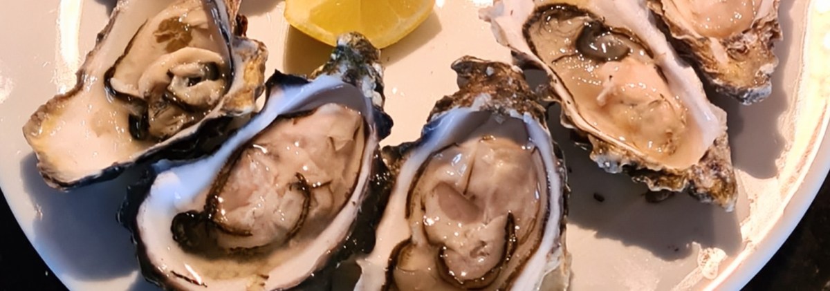
It’s often surprisingly hard to find truly fresh local seafood along the British coast, even though we’re avoiding fishing boats and dodging crab pots all the time.
Prompted by the splendid seafood shack by the Oban ferry terminal, which we’ve visited multiple times on each of our three round Britain cruises, I’ve started this little list of worthwhile places. Suggestions welcome.
After waiting all summer for summer, it finally arrived in Scotland last week, with sun, light winds, and calm blue seas.
Heading across the Firth of Lorn past the lighthouse to the start of the Sound of Mull
We were back for the first time since late July. The wind was generally from the east, so it was a good week to see the little islands west of Mull – Treshnish, Ulva, Coll and Tiree, plus a night in beautiful Loch na Droma Buidhe and another in a sheltered gap in the rocks near Iona called Tinkers Hole. For this week, captioned photos tell the story.
We left Tobermory on a grey day, with wind blowing from dead ahead along the Sound of Mull and rain clouds chasing each other across the sky. It was a wet and blowy last 25 miles to our destination, the island of Kerrera on Oban Bay, where we’ve rented a mooring for a year.
After watching the European Cup final we stayed, in a not particularly cheerful mood, on the harbourmaster’s pontoon at Kyle of Lochalsh, just across from Skye. Next morning there was some cleaning to do, because Loch Ewe mud from the chain and anchor had left sticky traces on the deck.
Spring Fever was anchored for two nights in Camas Glas, a little bay with landing steps for visitors to Inverewe Gardens. It’s an astonishing place, with many plants that if you didn’t see them, you’d never believe would thrive in the far north-west of Scotland. Photos are the best way to tell this story.Continue reading “Inverewe Gardens”
We’ve done our main delivery trip: after passing Cape Wrath, Spring Fever is now cruising among the lochs and islands of the west of Scotland on the way down to Oban, which will be the boat’s home for a year.
There are hundreds of anchorages and dozens of harbours, with shelter from any given wind direction always in reasonably easy reach. We’re no longer trying to maximise the sea miles every day and are looking instead at a less strenuous 30 to 50 miles a day.
By great good fortune, the wind started coming from the east just as we were planning to head for the famous headland of Cape Wrath away to the West. What could have been a hard-working 90 mile battle into the wind to Cape Wrath and south to Kinlochbervie became an exhilarating down-wind ride.
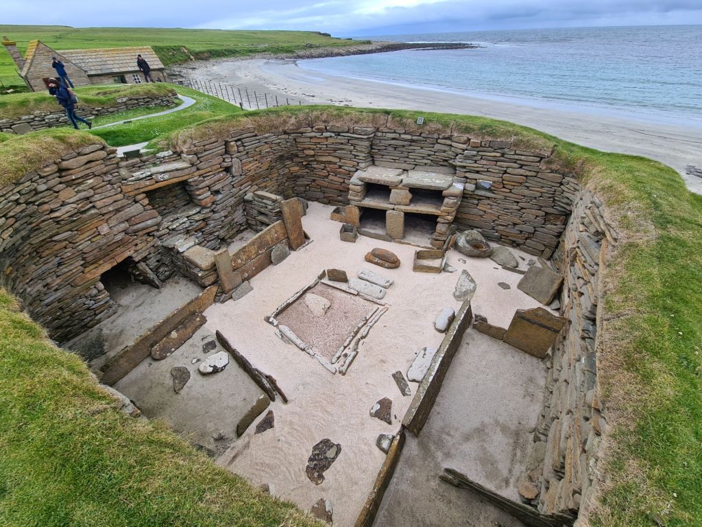
Skara Brae, a fishing and farming village more than 5,000 years old, is a must on any visit to Orkney. The houses have stone furniture, and the winding paths between them were roofed. It can be reached easily from Kirkwall on an hourly local bus service.Continue reading “Kirkwall, Skara Brae and Ness of Brodgar”
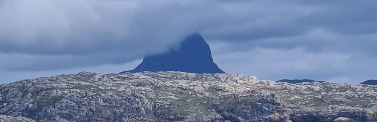
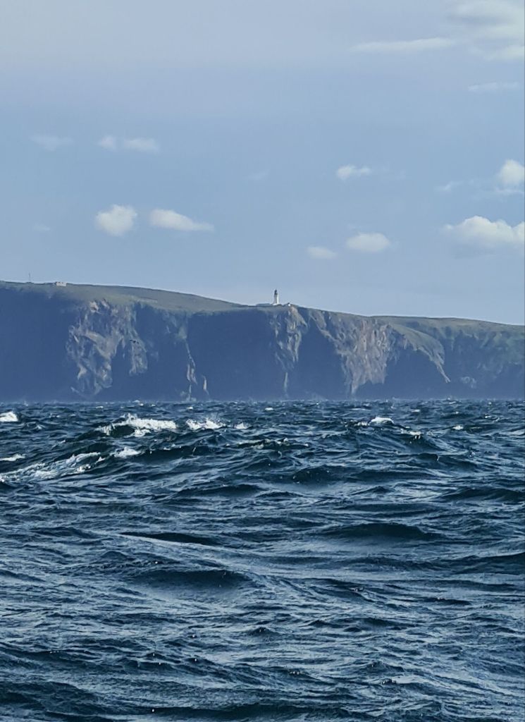
The next leg from Wick to Kirkwall in Orkney required careful preparation, because we needed to cross close to the Eastern end of the notorious Pentland Firth.
This has ferocious tides but, more seriously, is peppered with rocks and deep underwater reefs that create enormous turbulence. Ships, even the navy, are wary of the Firth. In some conditions it can be deadly for small craft.