Satellite accuracy on a mobile

How accurate is the position calculated by your smartphone? The Royal Institute of Navigation is sceptical. Its new book on electronic navigation for leisure sailors says: “At sea, mobile phone positioning uncertainty will typically be several hundred meters or more, which may be enough to put us into danger”.

I am looking for some proper studies on this issue, because I am sceptical about that statement. In the meantime it’s easy to check what your phone tells you about its own location performance when it relies only on satellite signals.

Continue reading “Satellite accuracy on a mobile”

November – the sextant survives in the navy, & joy in little jobs

I learnt this month that Royal Navy officers still have to learn and practice astro-navigation with a sextant, despite the incredible array of technology at their disposal.

I was at a Zoom meeting with Rear Admiral Peter Sparkes, the UK National Hydrographer, organised by the Suffolk branch of the Cruising Association.

Continue reading “November – the sextant survives in the navy, & joy in little jobs”

Relearning old navigation lessons

Two letters in the latest issue of the excellent Cruising Association magazine* claim it is now safe to rely entirely on electronic charts because backups to the boat’s main chartplotter are so cheaply available. You can leave your old paper charts abandoned in the bottom of a locker somewhere, the argument goes.

However, while researching updates for the yachtmaster book I mentioned last month, I’ve been re-reading intensively about old fashioned navigation techniques I learnt a long time ago, some of which were beginning to fade from memory. It has reinforced for me how important it is to avoid total reliance on electronics and have a portfolio of navigation skills including the old ones. Continue reading “Relearning old navigation lessons”

February – averting satellite disaster

The British government turns out to have been ahead of the game on the  satellite risks I mentioned last month, with a £36 million programme just announced to  prevent navigational satellite failures damaging the economy by as much as £1 billion a day. It is feared that the entire country has become over-dependent on a handful of satellite systems.

Emergency services, the energy grid, mobile phones, Satnav, broadcasting and other communications, the Stock Exchange and an array of other activities all rely heavily on the super-accurate timing provided now by navigational satellites such as GPS and similar systems. There are life-threatening risks from failure, says the government.
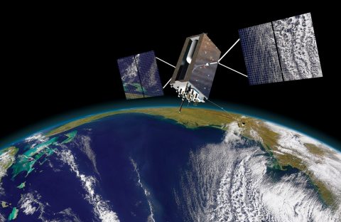
An image of a third generation Lockheed Martin GPS satellite

The new investment is in a National Timing Centre to create a network of super-accurate atomic clocks around the UK, accessed through ground-based communications, so that the economy will no longer be over-reliant on timing from GNSS signals from the sky.

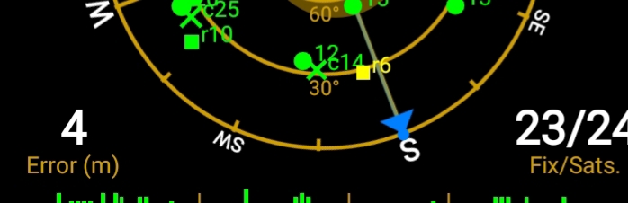
GNSS is the term that embraces the US  GPS, the first system, Russia’s GLONASS satellites, Europe’s new Galileo and also a rapidly developing Chinese system.

Galileo failed completely for a while last year during its start up phase, because of operator errors, and there are now many examples of interference with GNSS systems and malicious ‘spoofing’, in which navigation instruments are fooled into thinking they are somewhere else. The heart of all navigation by satellite is accurate timing, without which positions cannot be fixed.

Continue reading “February – averting satellite disaster”

January – satellite scares, and getting ready for Biscay

At the Royal Institute of Navigation’s small boat conference in Lymington earlier this month, I learnt a lot about  new risks of error  in satellite navigation : I did not know, for example, that it is possible with quite cheap local equipment to fool the GPS on a plane, ship or even a missile into thinking it is somewhere other than its real position.

There are now tens of thousands of reported incidents of errors, deliberate, accidental or of unknown cause, with a substantial number of them unsurprisingly in sensitive areas such as the Gulf, and the Black Sea near Ukraine, suspected to be hostile activity.

Reports of accidental errors include a couple of local failures when US naval vessels arrived in the port of San Diego, apparently forgetting to switch off unspecified electronic equipment, which interfered with satellite-derived positions for miles around.

Continue reading “January – satellite scares, and getting ready for Biscay”